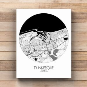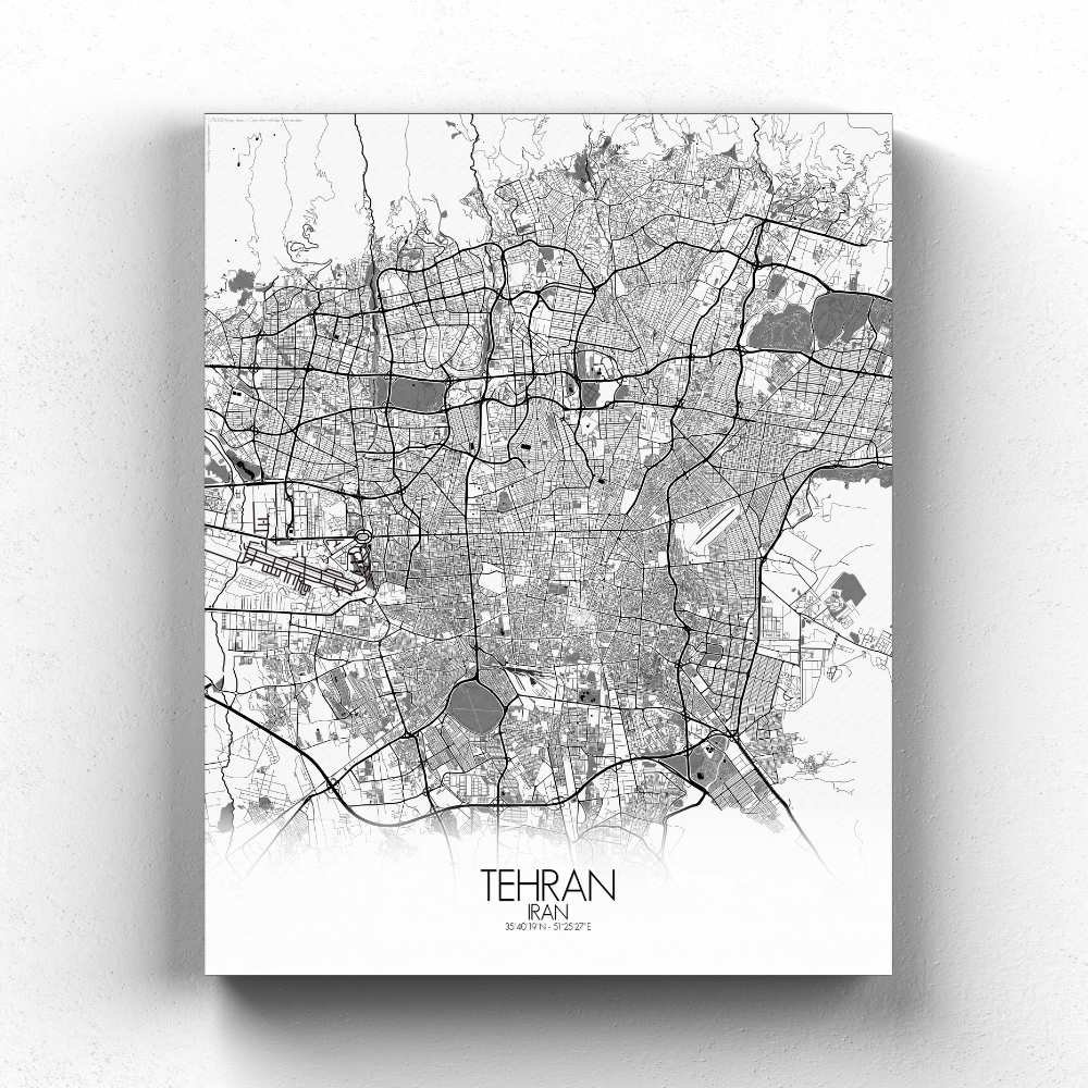
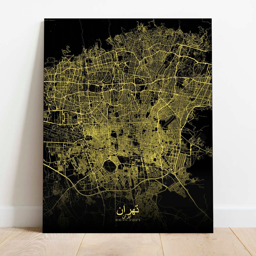
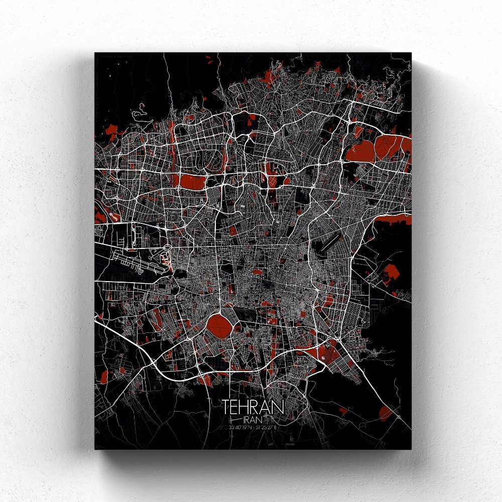
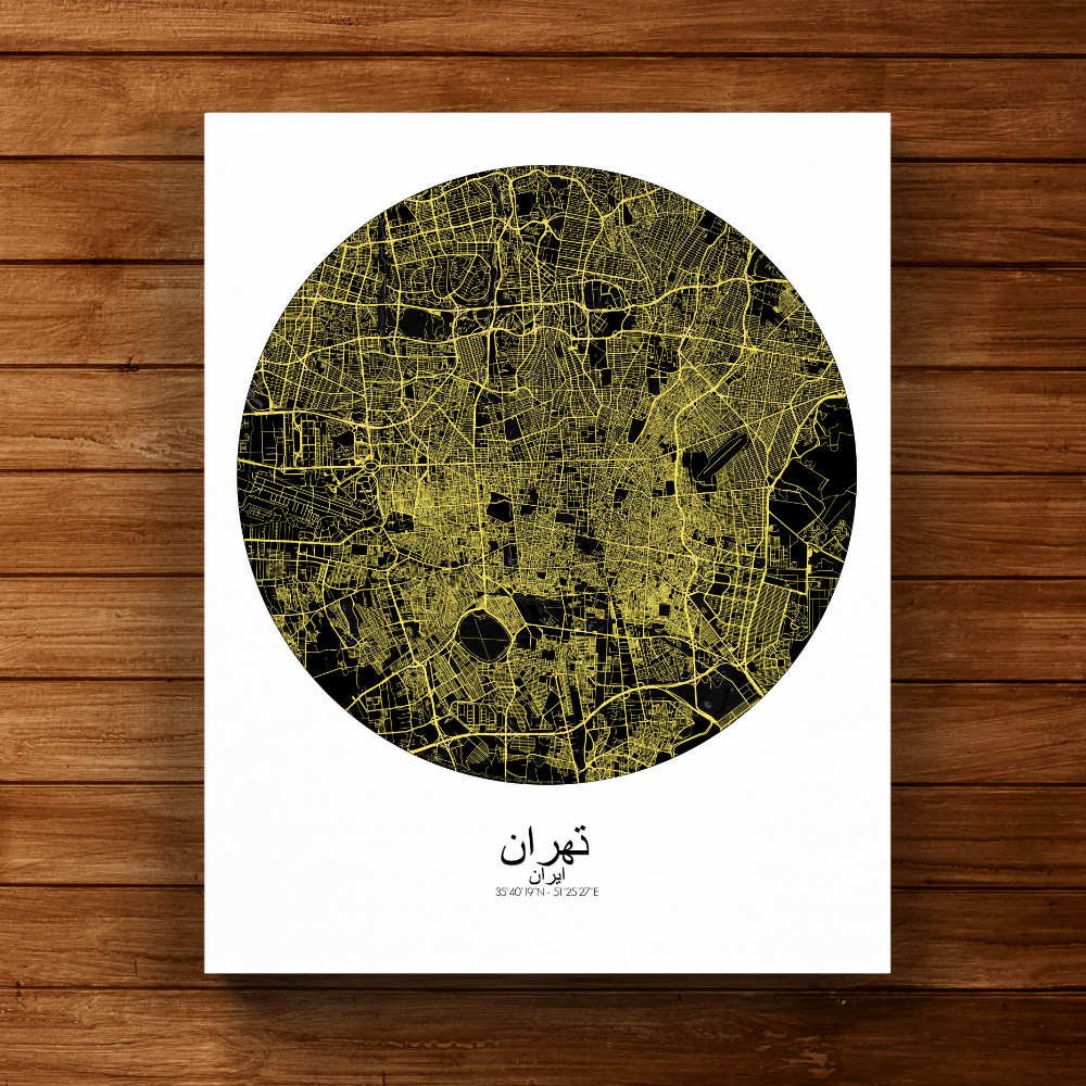
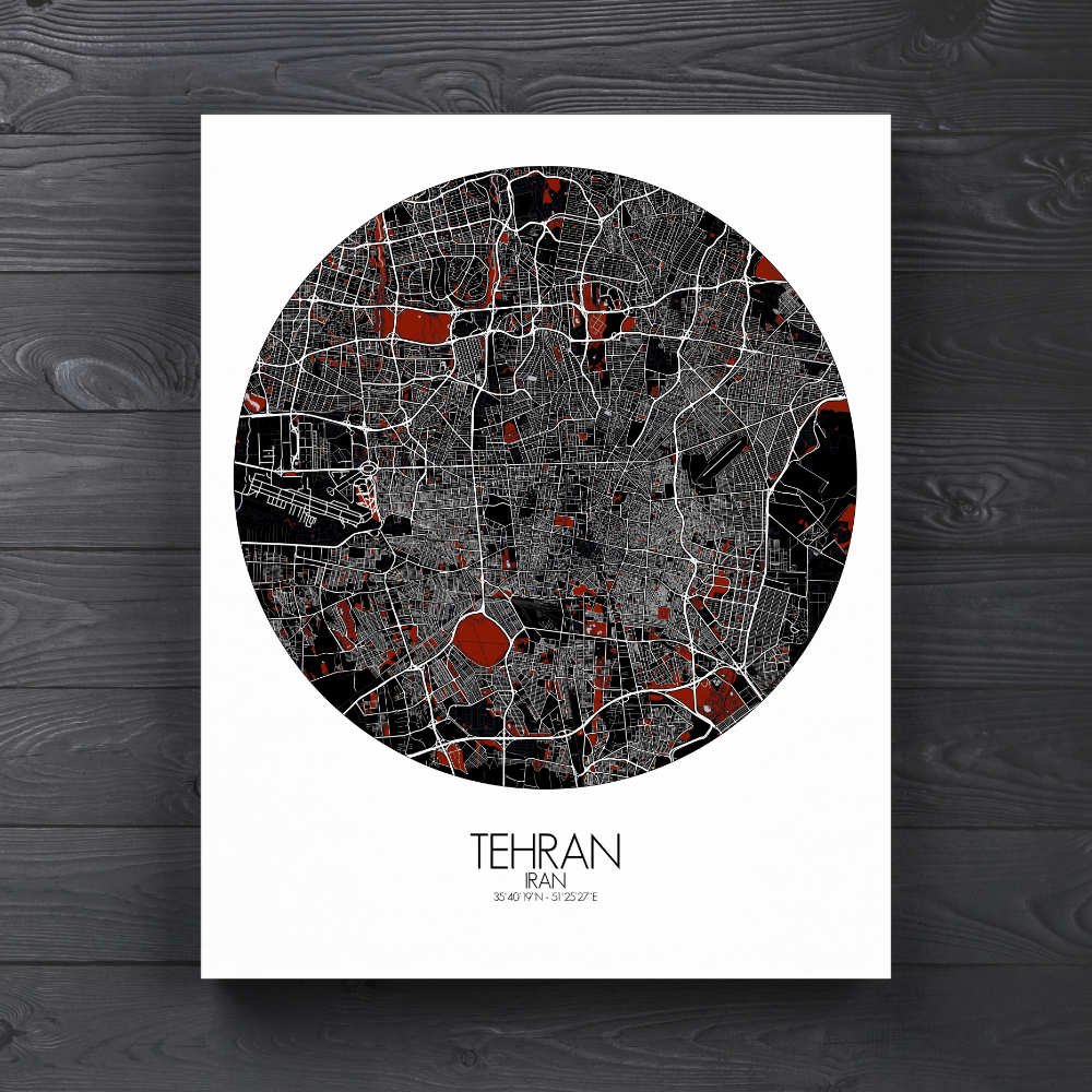
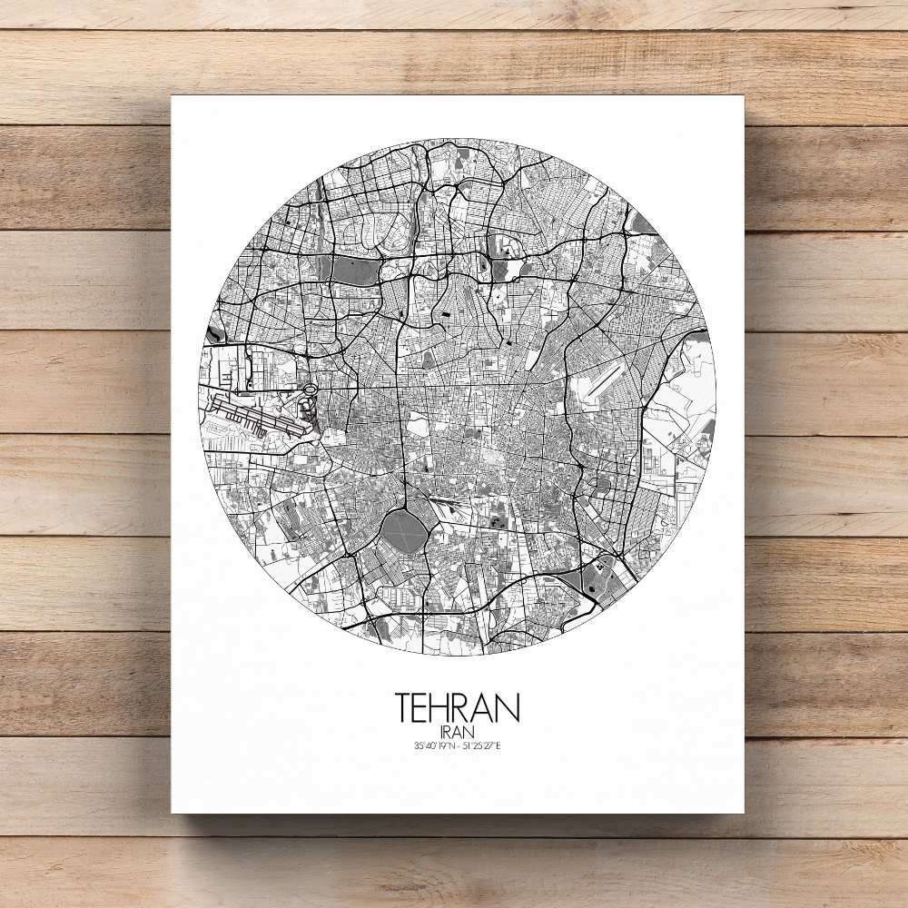
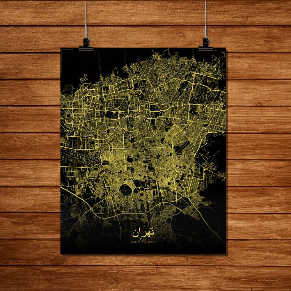
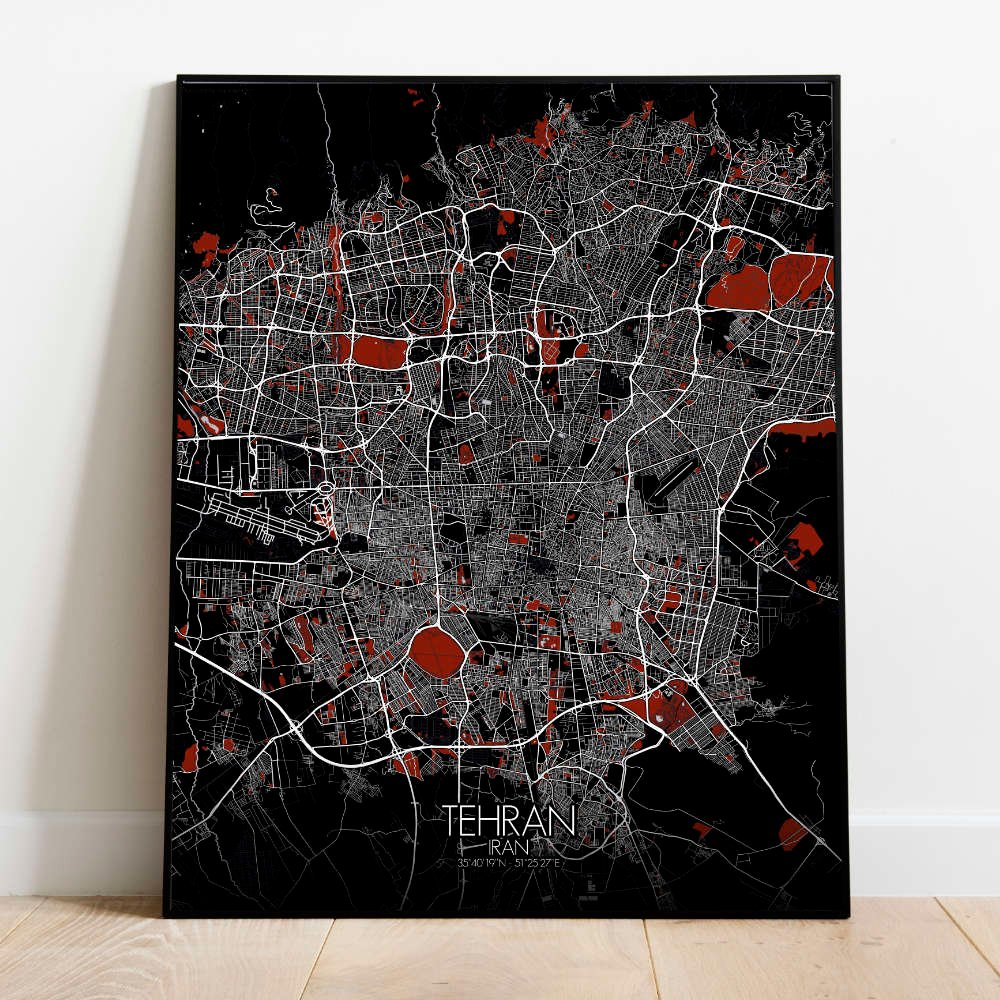
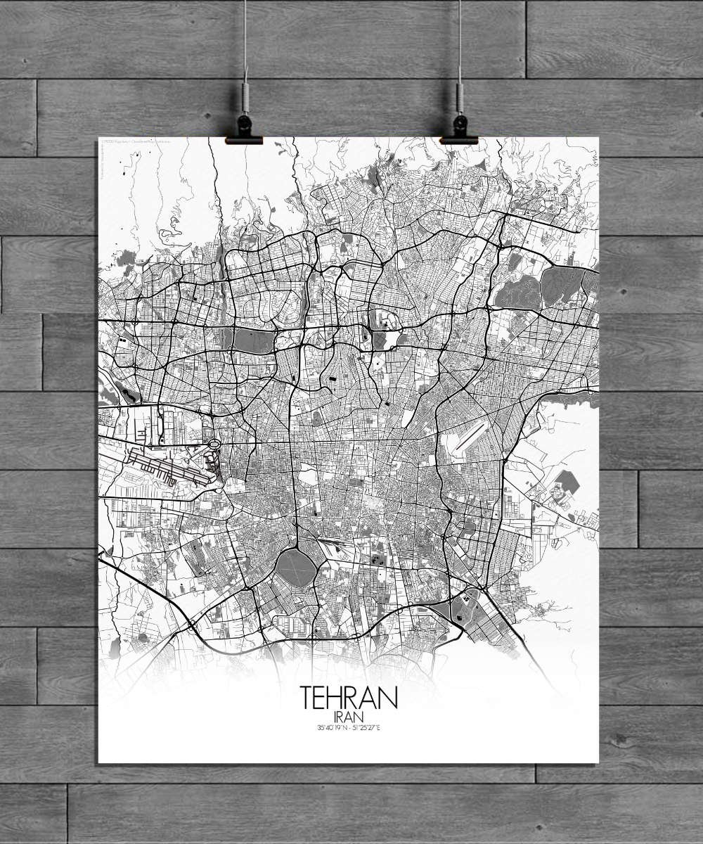
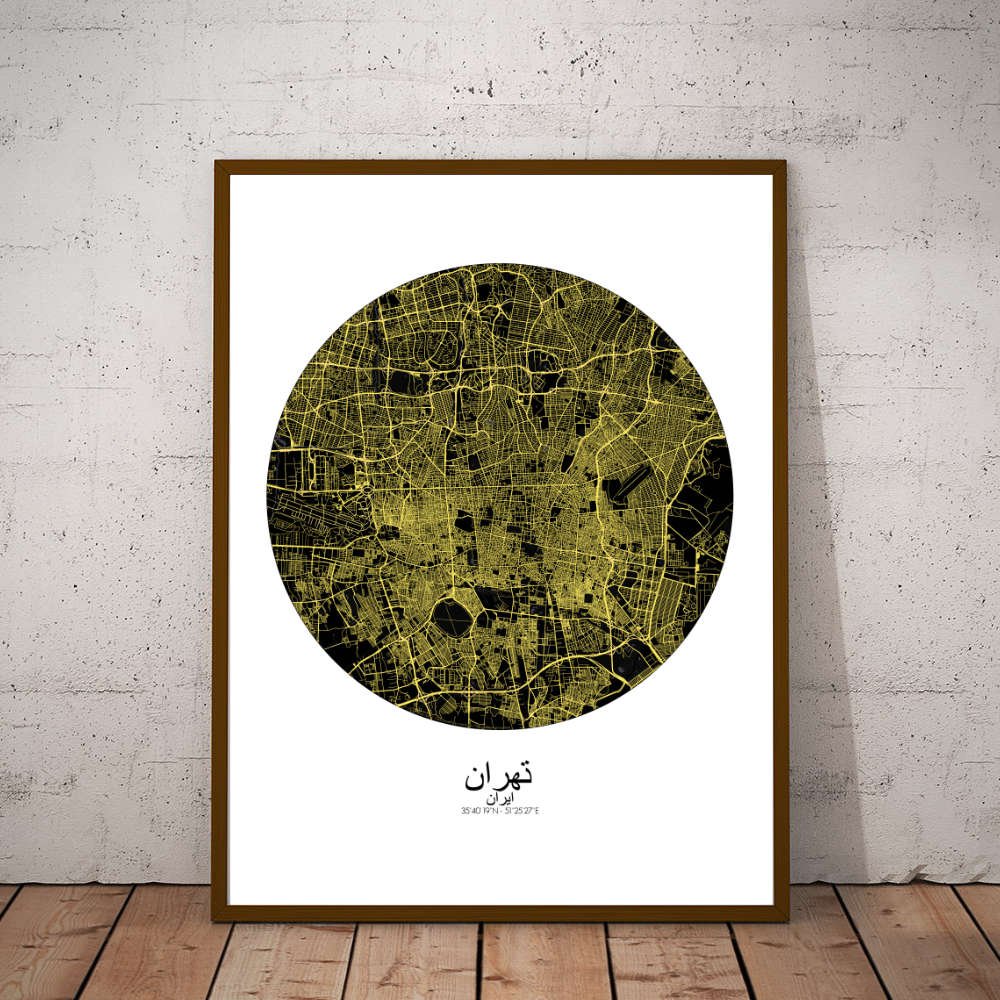
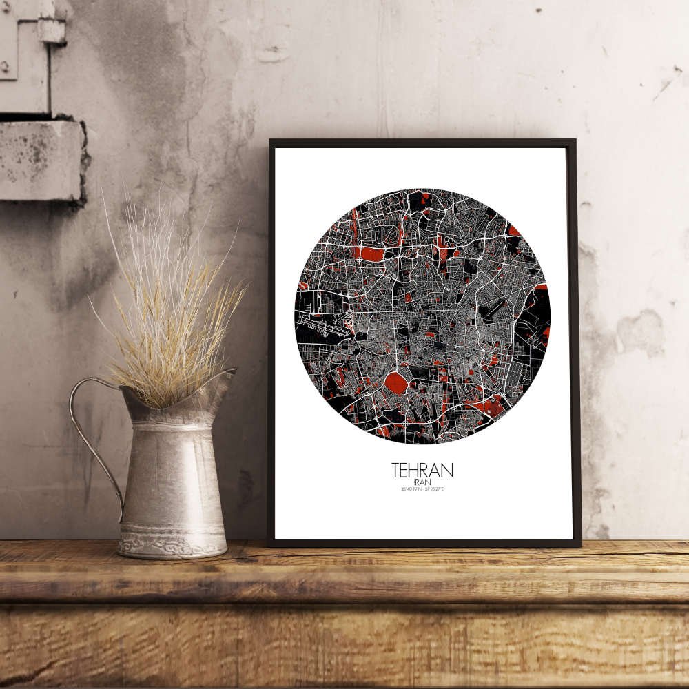
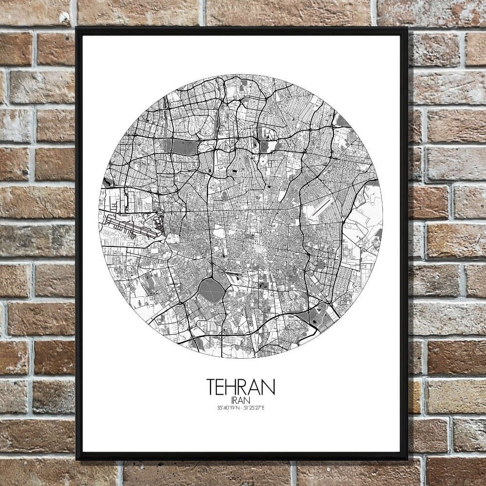
Poster City map de Teherán, Irán: ¡un mapa que despliega una ciudad infinita y vibrante sobre tu pared!
A los pies de las majestuosas montañas Alborz, la topografía de Teherán se define por un telón de fondo imponente de cumbres escarpadas que vigilan la ciudad desde el norte; sus picos nevados susurran constantemente la belleza natural que abraza a esta metrópoli palpitante. Hacia el sur, el terreno se suaviza y se extiende hacia la vasta meseta central de Irán, creando un contraste perfecto con la frontera montañosa que enmarca la ciudad.
Uno de los encantos más cautivadores de este mapa es la relación de Teherán con sus espacios verdes. Aunque la capital es conocida por su ritmo acelerado y su desarrollo moderno, también alberga una sorprendente riqueza de parques y jardines. El extenso parque Laleh se despliega como un oasis verde en medio del paisaje urbano, ofreciendo un refugio sereno frente al bullicio de la ciudad. Más al norte, la emblemática montaña Tochal no solo invita a la aventura, sino que simboliza el profundo vínculo de la ciudad con la naturaleza, con estaciones de esquí y senderos que se elevan sobre Teherán y regalan vistas sobrecogedoras.
La imponente torre Milad domina el horizonte como un icono moderno, erguida con orgullo entre las estructuras más altas de Irán. En el corazón de la ciudad, el majestuoso palacio Golestán revela destellos de su pasado real, con una arquitectura refinada y jardines exuberantes que evocan otra época. El mapa también captura el encanto ancestral del gran bazar, un laberinto de callejones y tiendas donde el pasado y el presente se entrelazan con naturalidad.