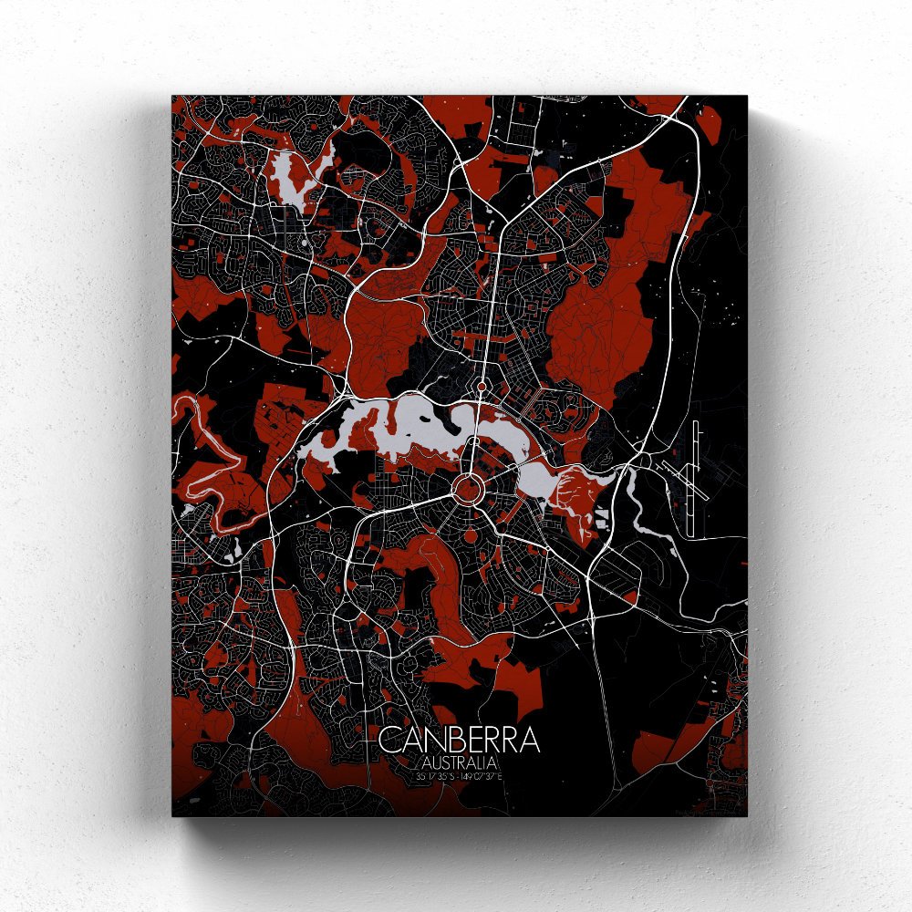
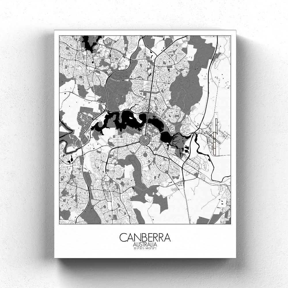
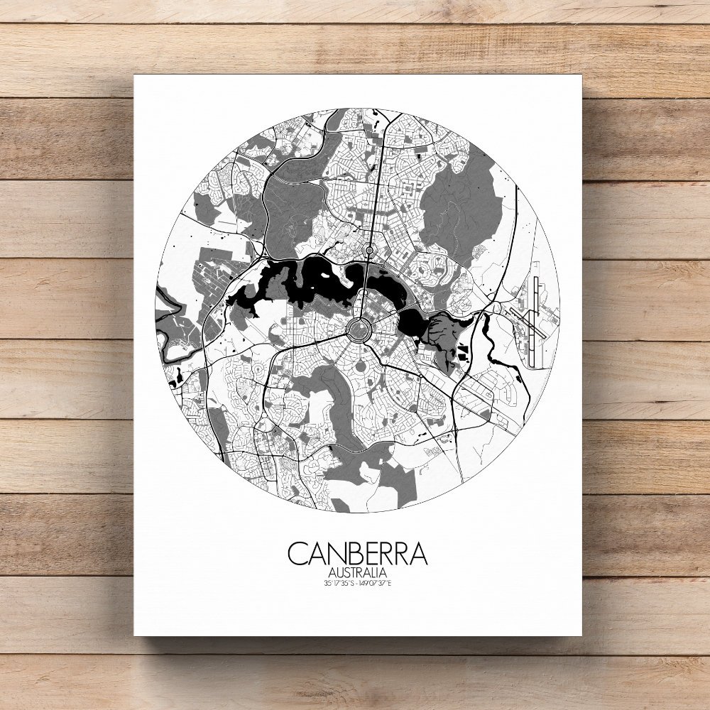
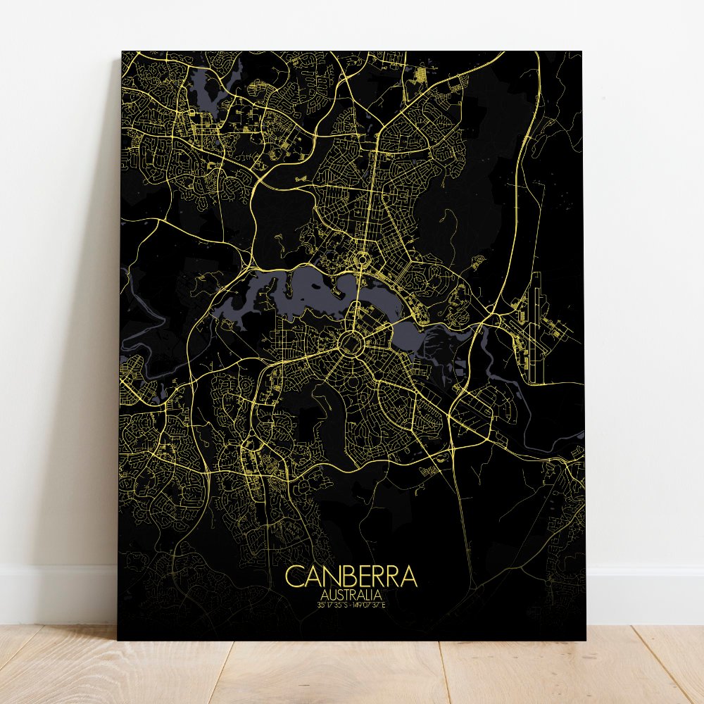
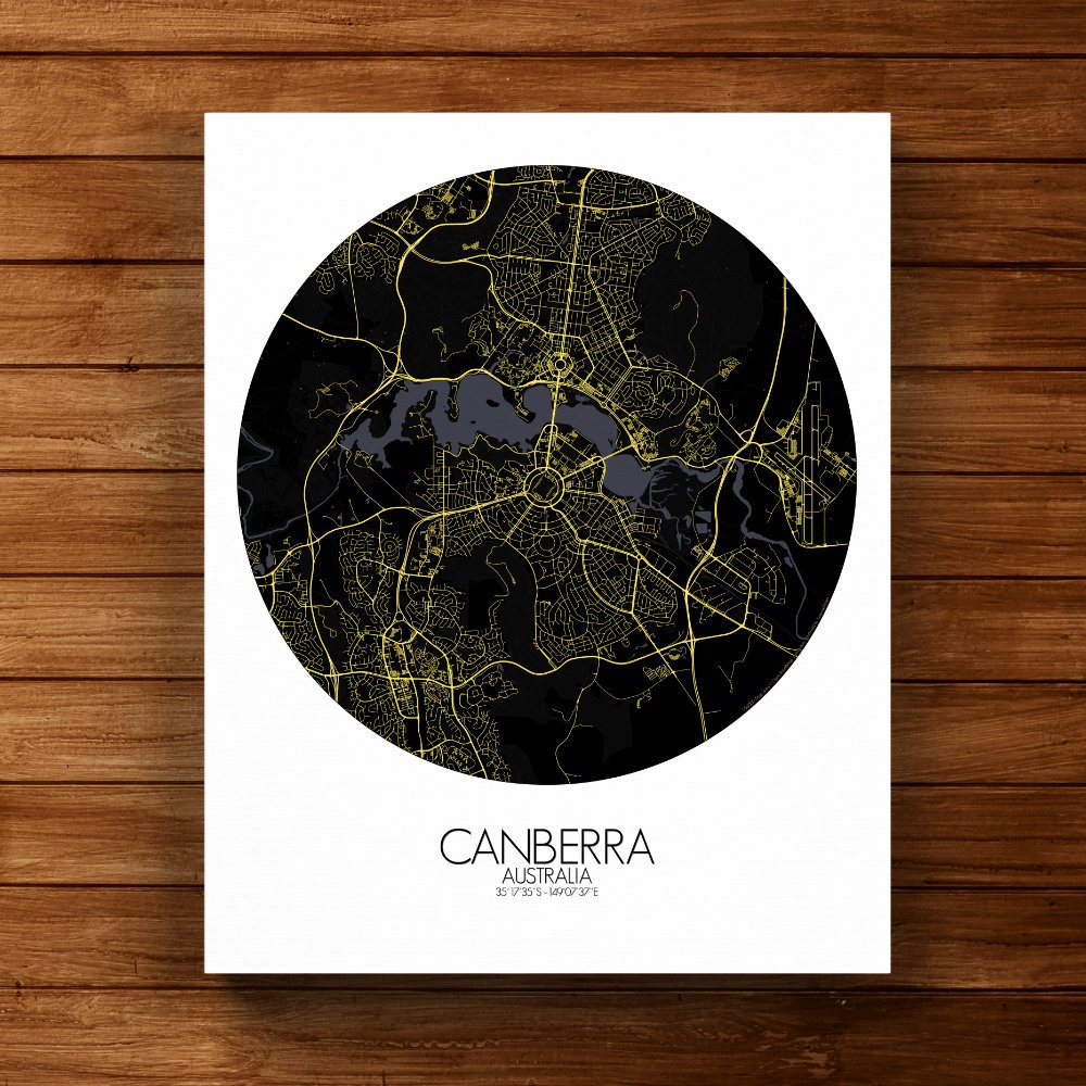
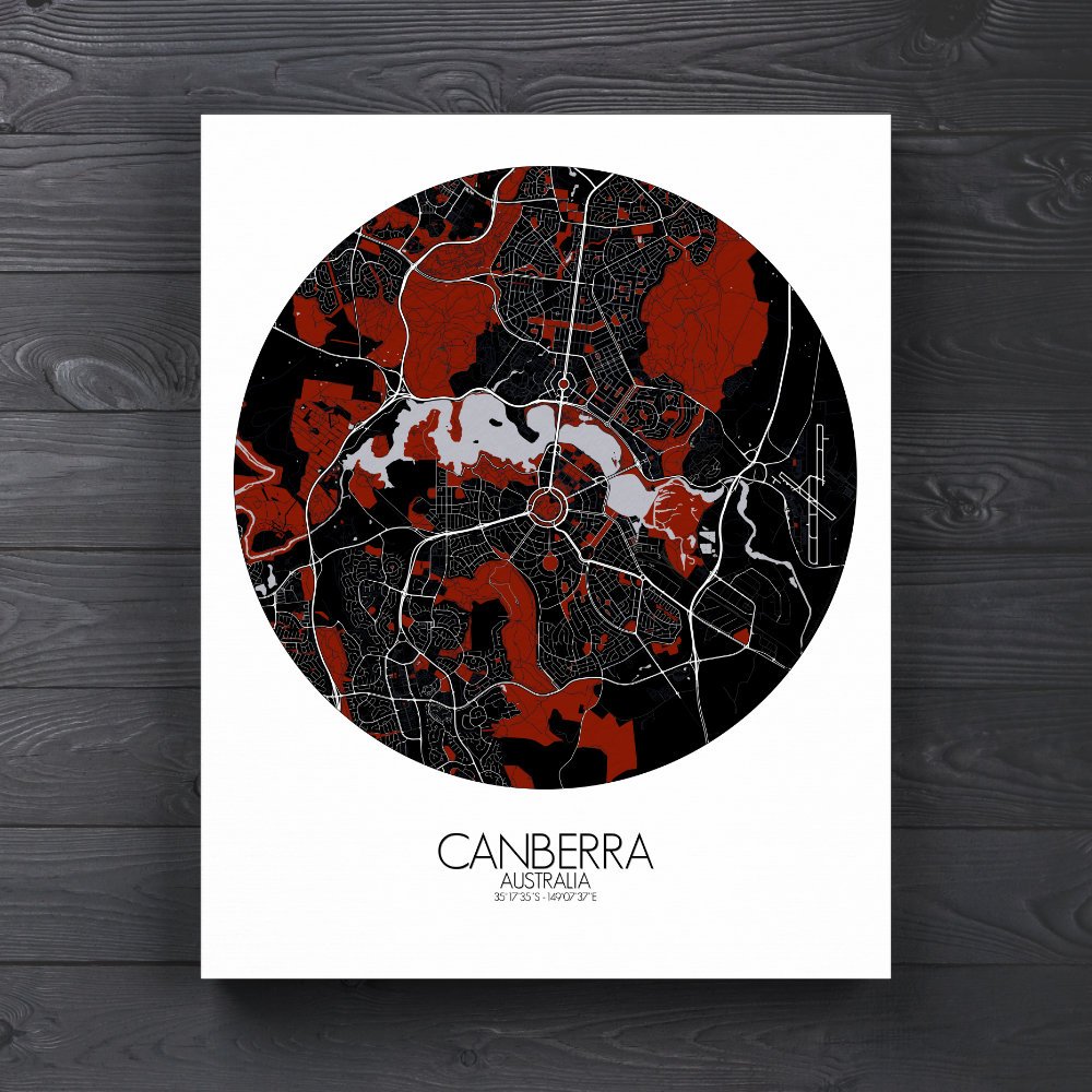
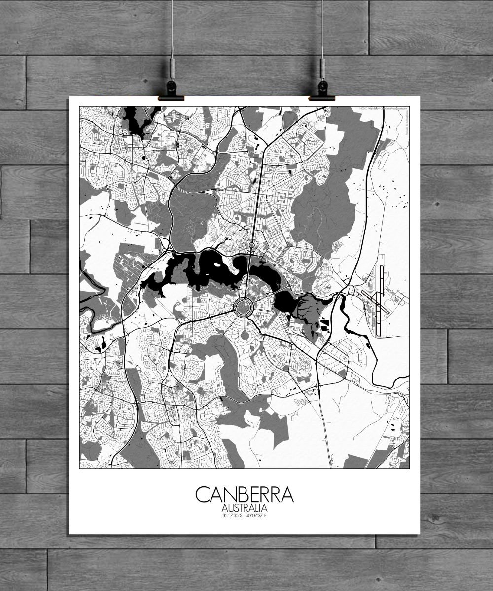
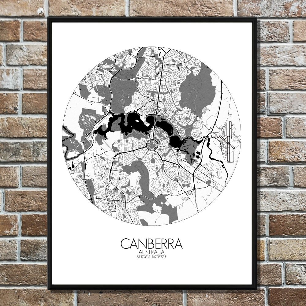
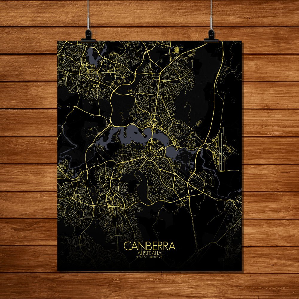
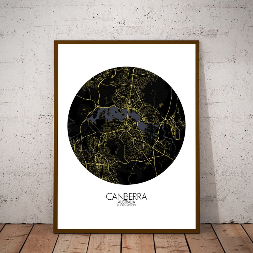
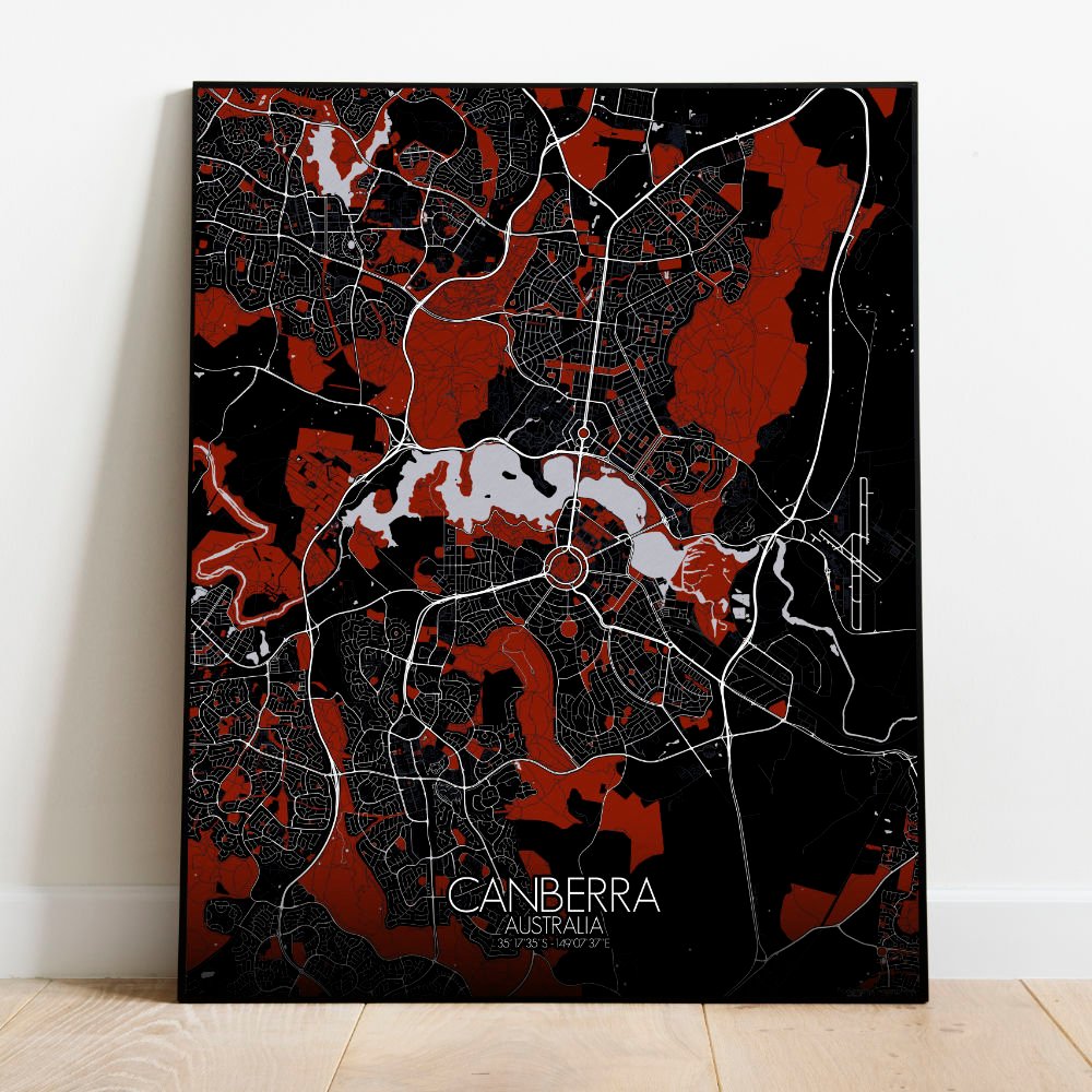
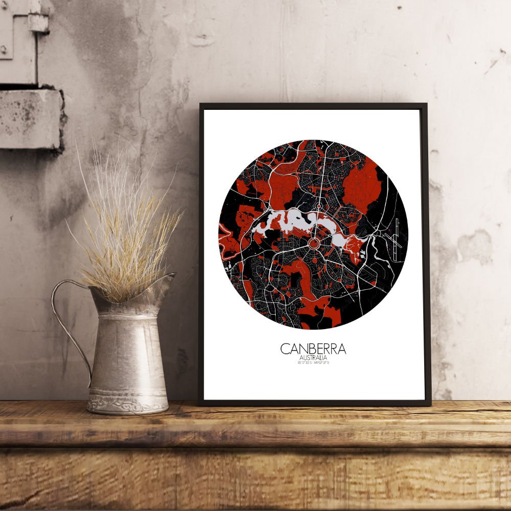
Poster City map of Canberra, Australia: a capital born not from ancient trade routes or coastal ports, but from a good old-fashioned compromise.
When Sydney and Melbourne couldn’t agree who should rule the roost, someone pointed to a peaceful patch of land between the hills and said, “Right then, let’s build a city.” And so they did. This map captures the thoughtful geometry of Canberra’s layout, where roads curve with reason and the city fans out from Lake Burley Griffin like a great civic sundial. The lake itself, man-made but no less graceful, divides the map and the city — government to the south, galleries and gardens to the north, and the odd kangaroo hopping through both without a care for protocol. The terrain here rolls softly, with the Brindabella Ranges framing the horizon and offering a reminder that wilderness is never far. Mount Ainslie watches over the city like a quiet supervisor, best climbed in the morning when the light turns the streets golden and the parrots start their noisy shift. Green spaces are everywhere, and not just out of courtesy. This is a city where nature was written into the blueprint — a patchwork of bushland, lakeside paths, and national parks, all neatly woven into urban life. Even Parliament House seems to disappear into the hill it’s built on, as if politics were trying to be discreet for once. Hang this map, and you hang a portrait of quiet purpose, a city that was drawn before it was built, and somehow still feels like it’s unfolding. Not too loud, not too proud — but Canberra has a way of growing on you, one eucalyptus at a time.