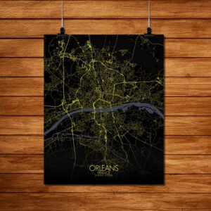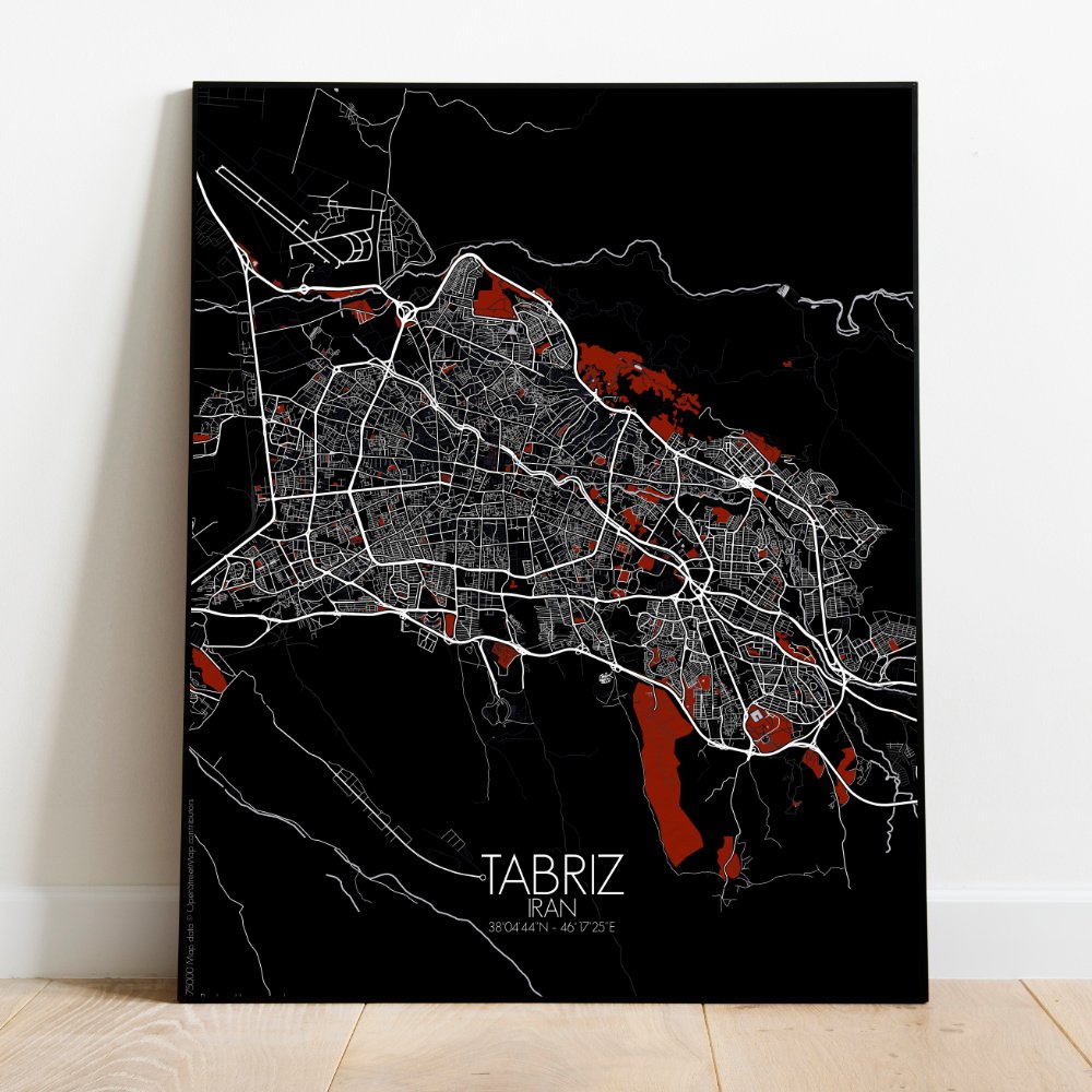
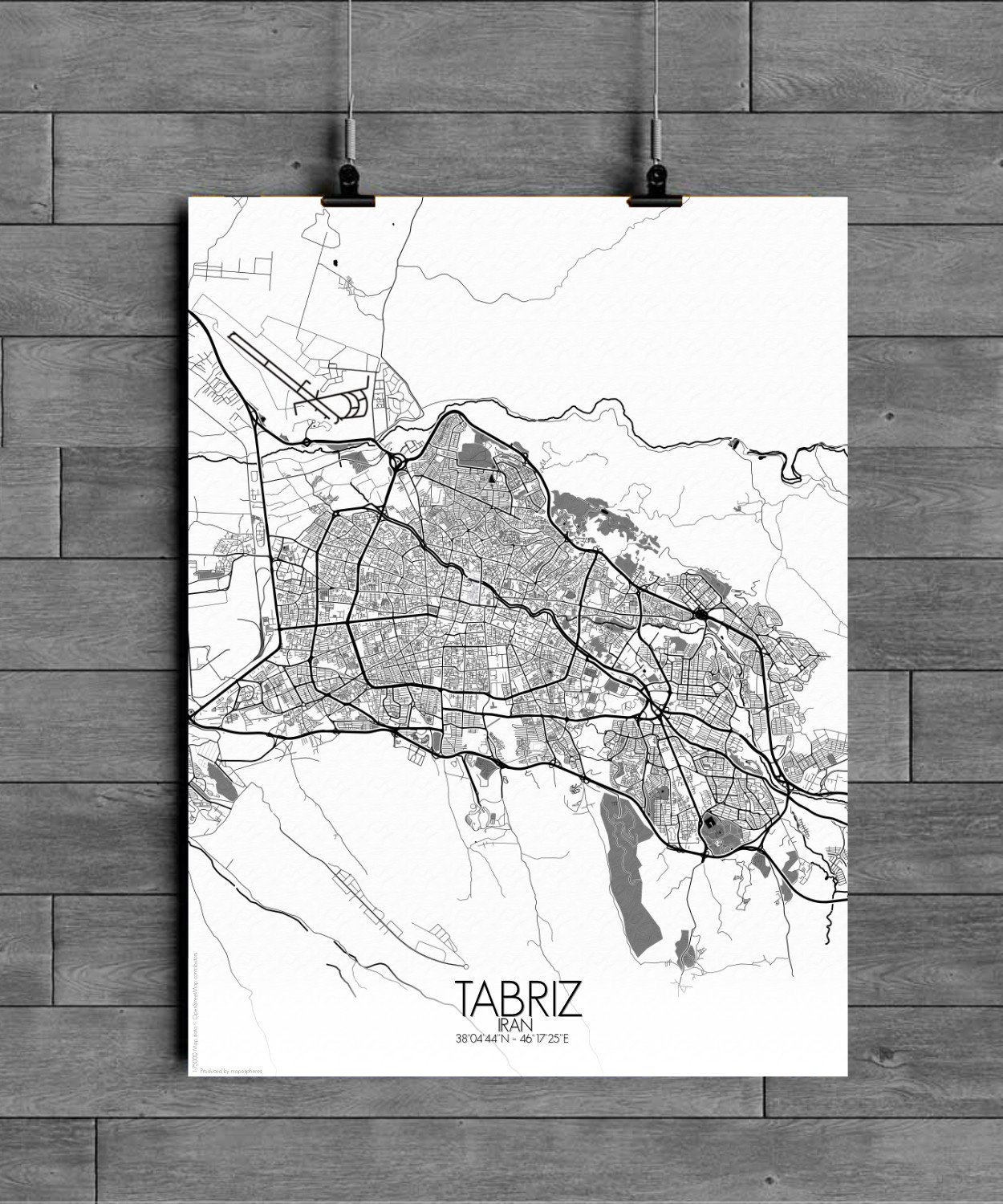
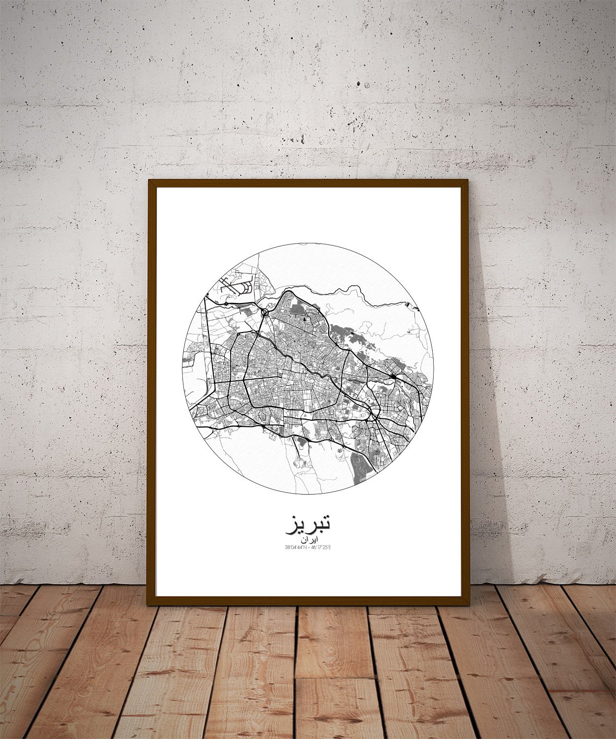
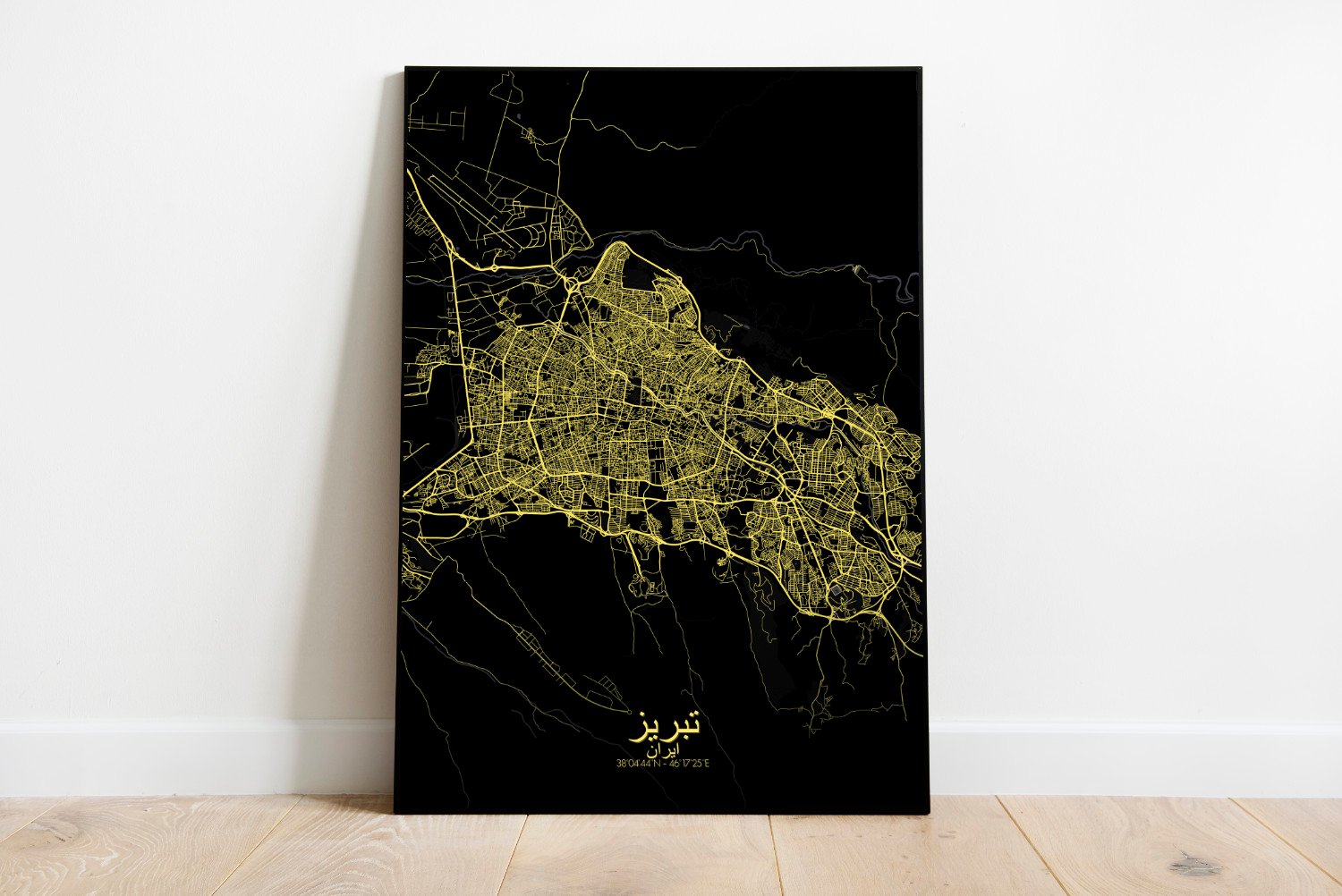
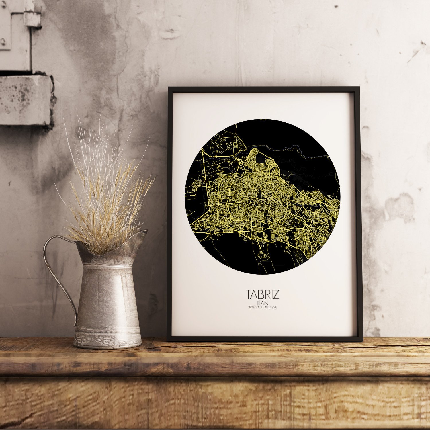
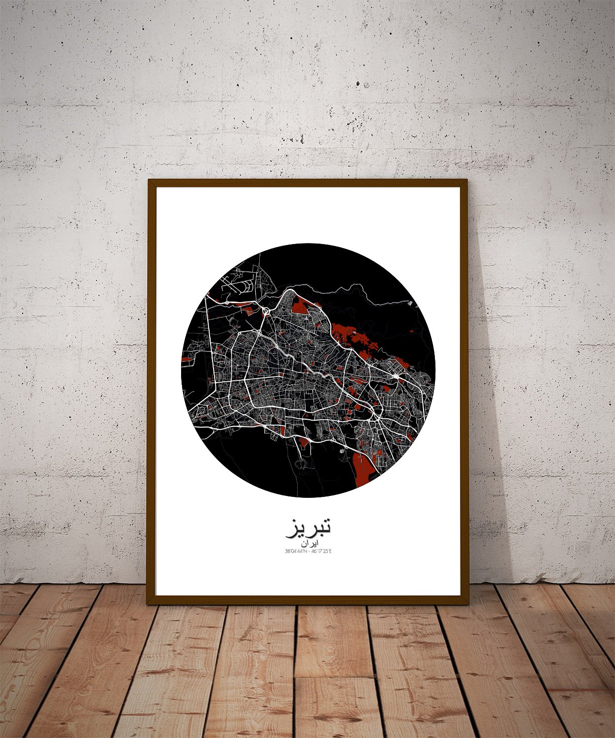
Poster City map of Tabriz, Iran: From the gardens that once heard the poetry of Shahriyar, to the angular rise of the Blue Mosque—once resplendent in turquoise tiles before earthquakes tested its patience—this map captures not just streets and shapes, but the feel of a place where myth and mountain meet.
Nestled beneath the long shadow of Mount Sahand, Tabriz stretches across the northwestern plains of Iran like a timeless tapestry. This city map brings to life the undulating terrain that cradles the city—soft hills rolling in from the south, the subtle drop of the plateau to the north, and the meandering course of the Aji River cutting a quiet path through the land like it’s been late for centuries. In this finely drawn print, Tabriz’s topography takes center stage, giving depth and drama to the city’s position between mountains and steppe. You’ll notice the generous green spaces that breathe between the neighborhoods—the grand El Goli Park with its legendary lake and pavilion, once a summer haunt of royalty and now a weekend escape for picnic baskets and laughter. There’s something oddly poetic about a city that can hold centuries of empire and still have room for ducks. Look closer and the map reveals the pattern of old roads and bazaar lines—like ancient calligraphy still whispering trade secrets from when Tabriz sat proud on the Silk Road, collecting silk, spice, and more gossip than a royal court. The Bazaar of Tabriz itself, now a UNESCO World Heritage Site, curls through the city like a sleeping dragon, with domed roofs and alleyways that remember more history than most bookshelves.