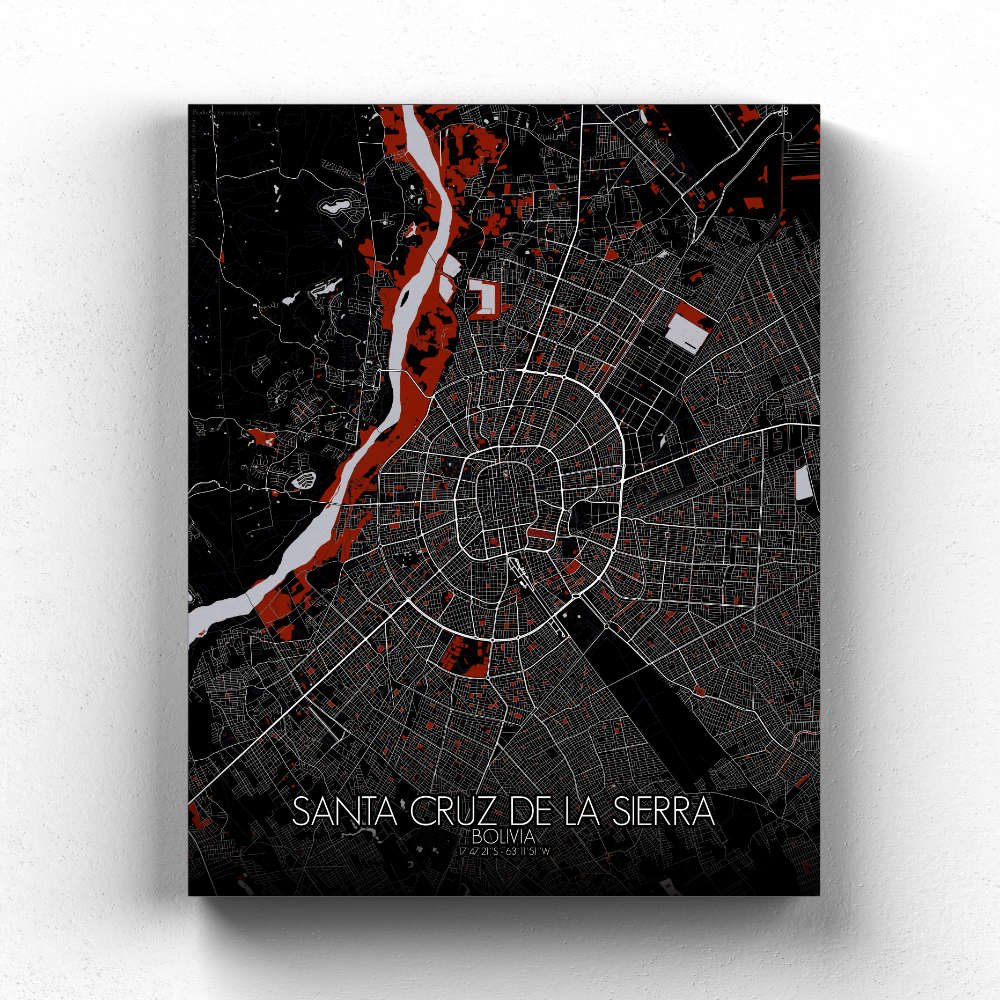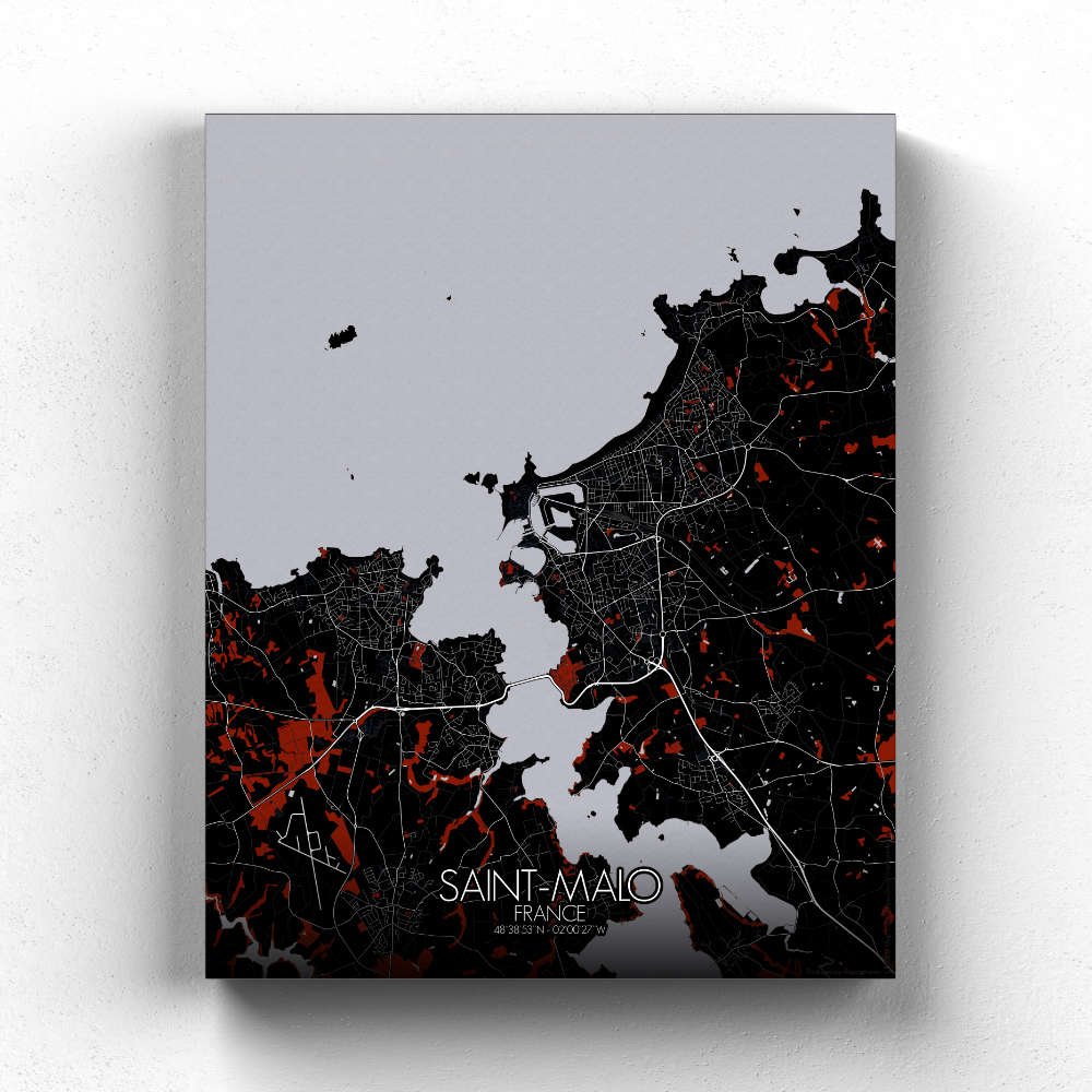
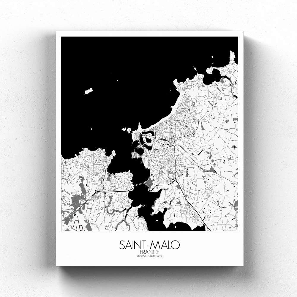
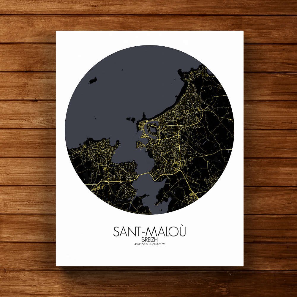
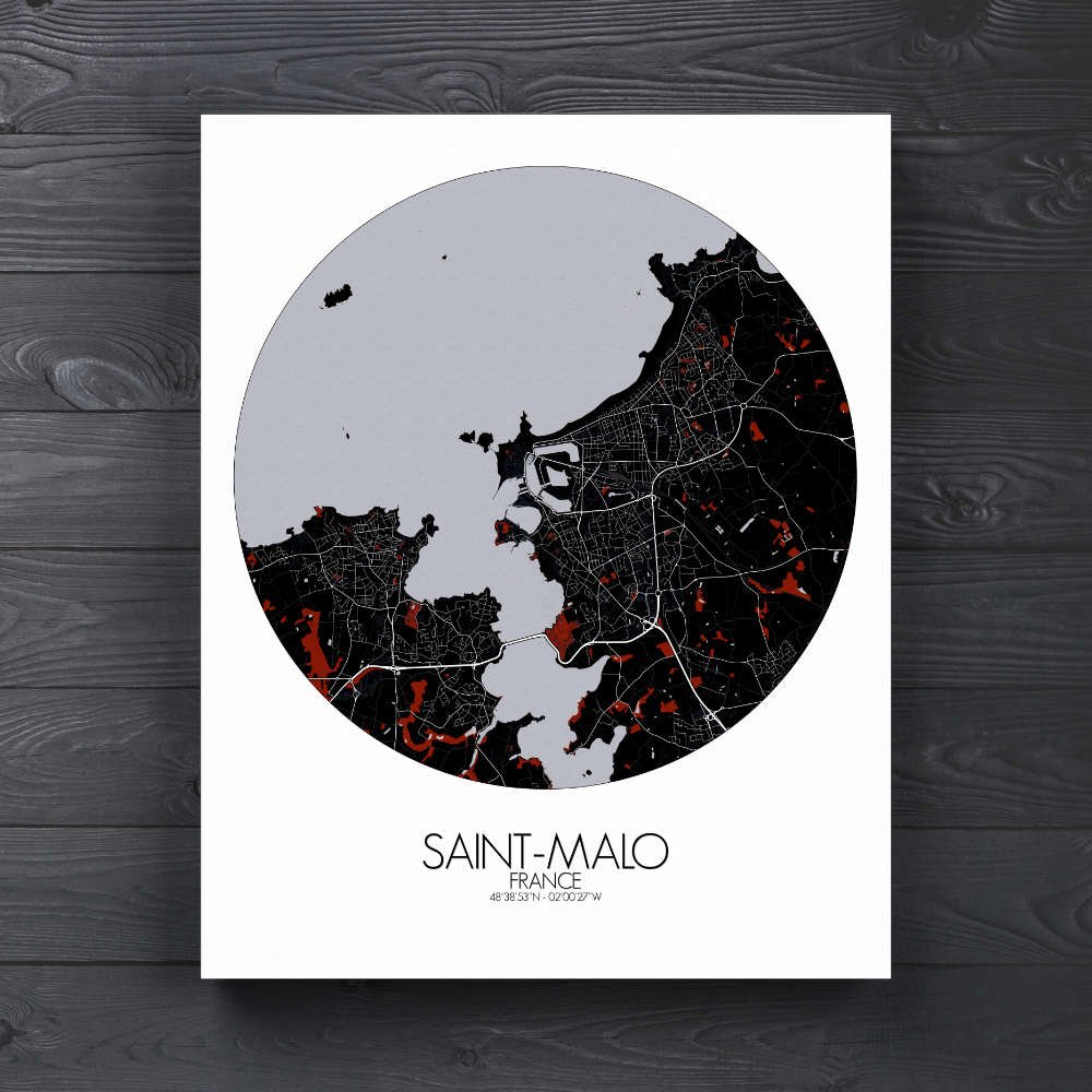
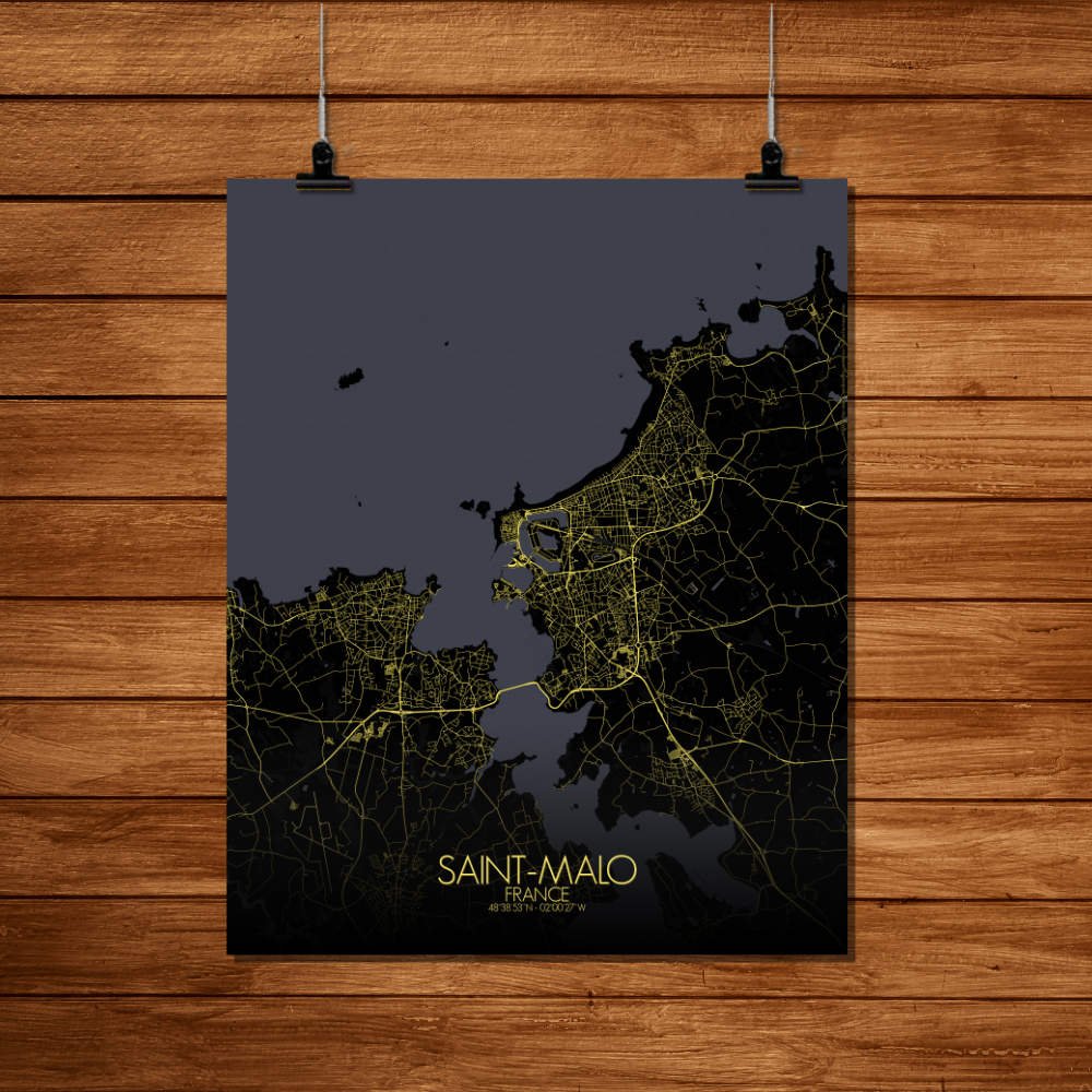
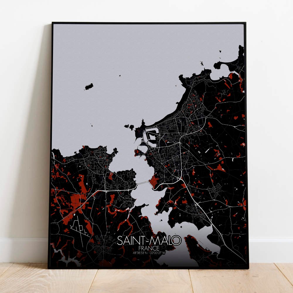
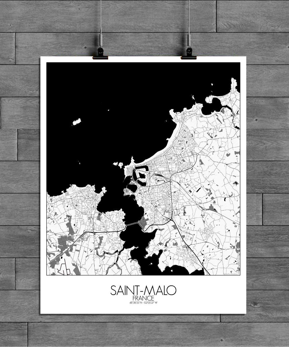
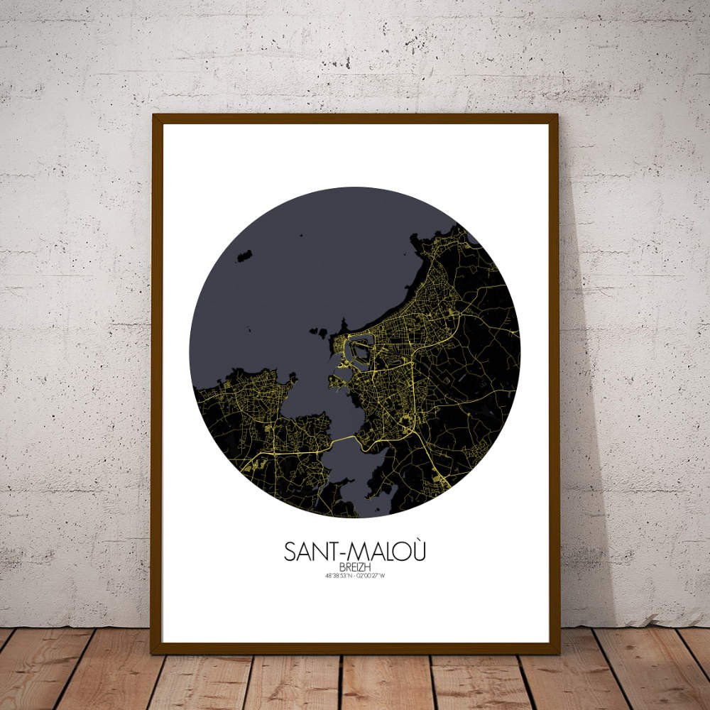
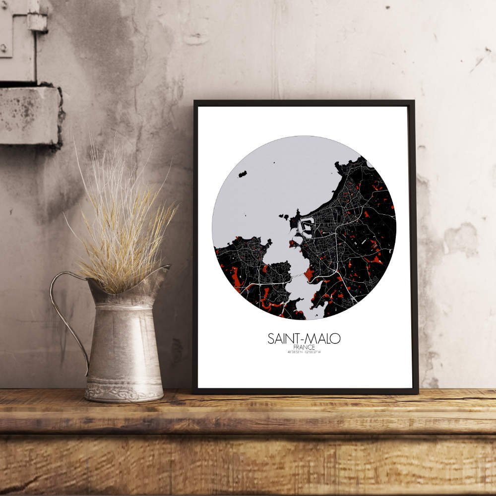
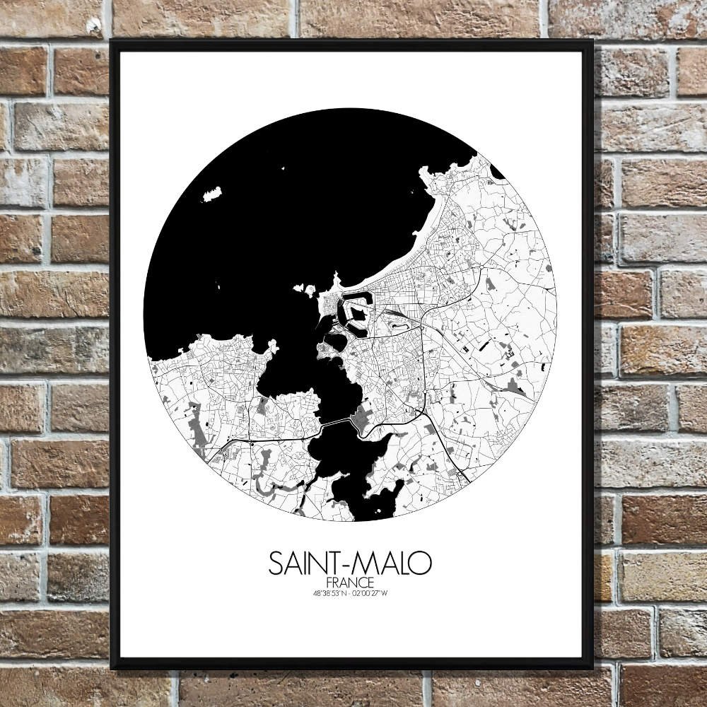
Poster City map of Saint Malo, France: With its mix of dramatic coastal features, rich history, and maritime charm, the Saint-Malo map brings a sense of adventure and beauty into any room.
Nestled on the shores of the English Channel, the map reveals the jagged coastline, with its cliffs and sandy beaches, and the intricate network of fortifications that make Saint-Malo famous. The old city, or Intra-Muros, stands proudly within its ancient ramparts, a place where pirates, explorers, and traders once roamed, with narrow streets and stone buildings that seem to hold centuries of secrets. The terrain around the city is varied, from the rocky outcrops that guard the coast to the expansive tidal flats that appear and disappear with the rhythm of the sea. The map highlights the lush green spaces that offer peaceful retreats, such as the Parc de la Briantais, where one can enjoy a quiet stroll surrounded by trees, or the tranquil gardens near the Pointe de la Varde, perfect for a moment of calm before returning to the hustle of the town. Saint-Malo’s most iconic landmark, the formidable Château de Saint-Malo, stands tall at the edge of the city, overlooking the harbor. Nearby, the old ramparts are a reminder of the town’s storied past, offering sweeping views of the sea and the distant islands. As the tide shifts, the map reveals the changing shoreline, with nearby islands like Petit Bé and Grand Bé—once home to the tomb of the famed French writer Chateaubriand—rising up from the water, ready to be explored.