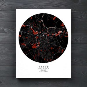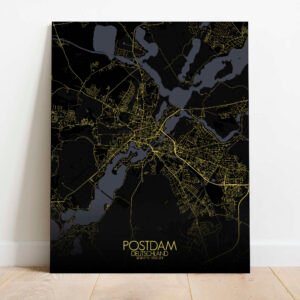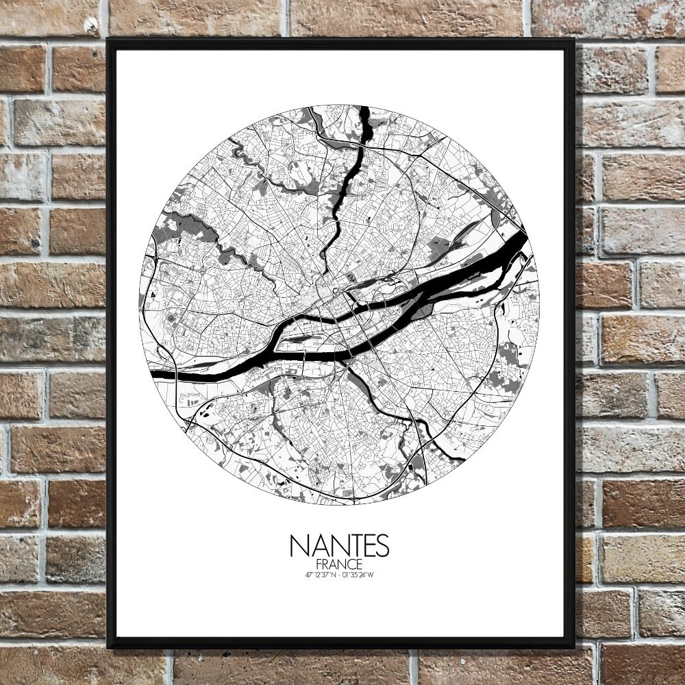
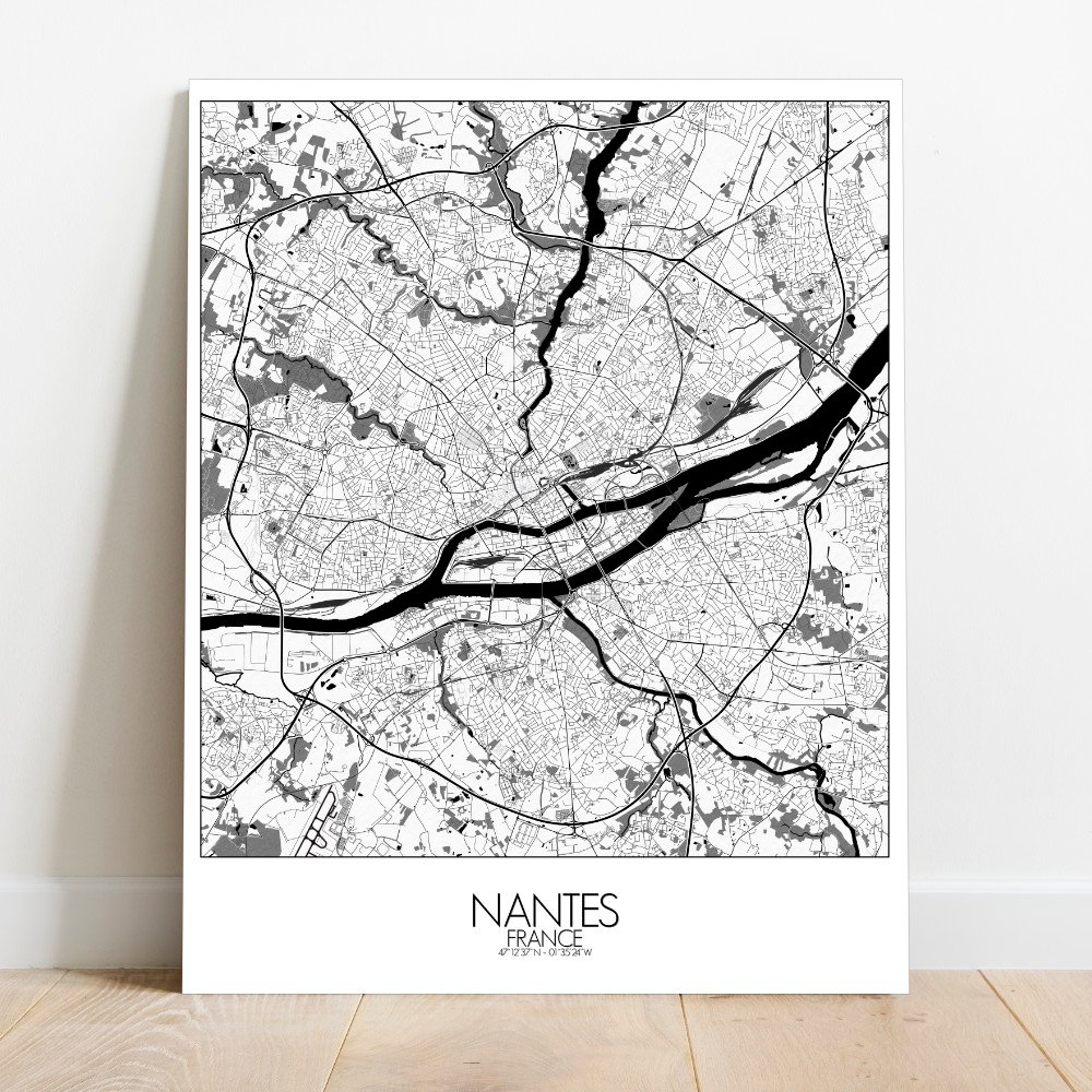
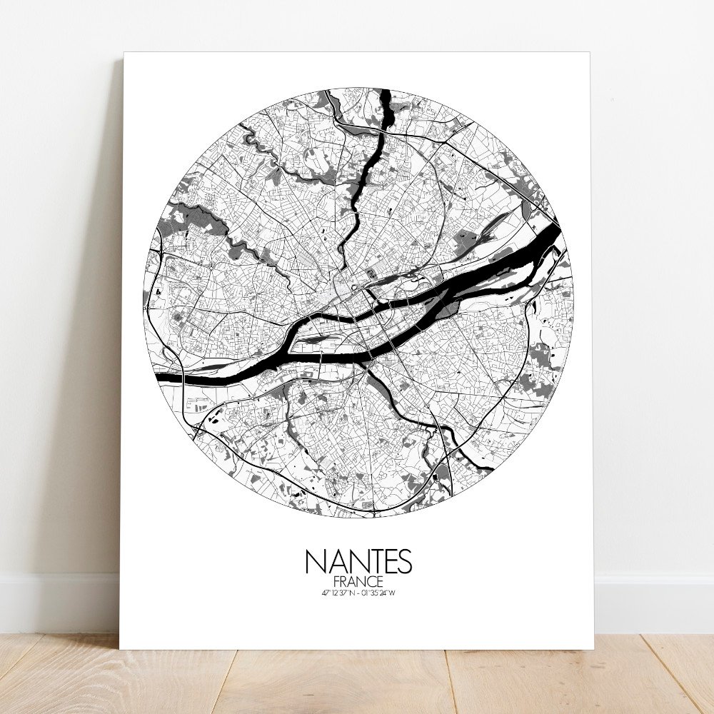
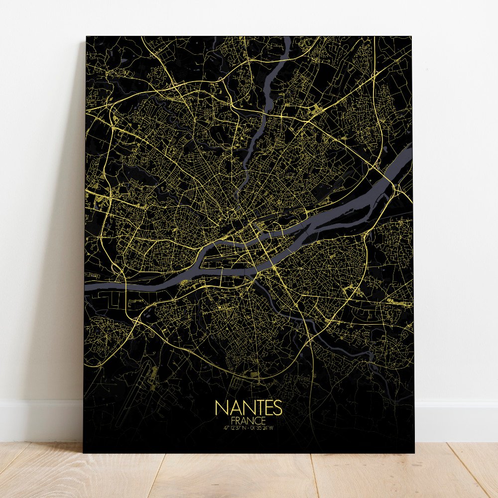


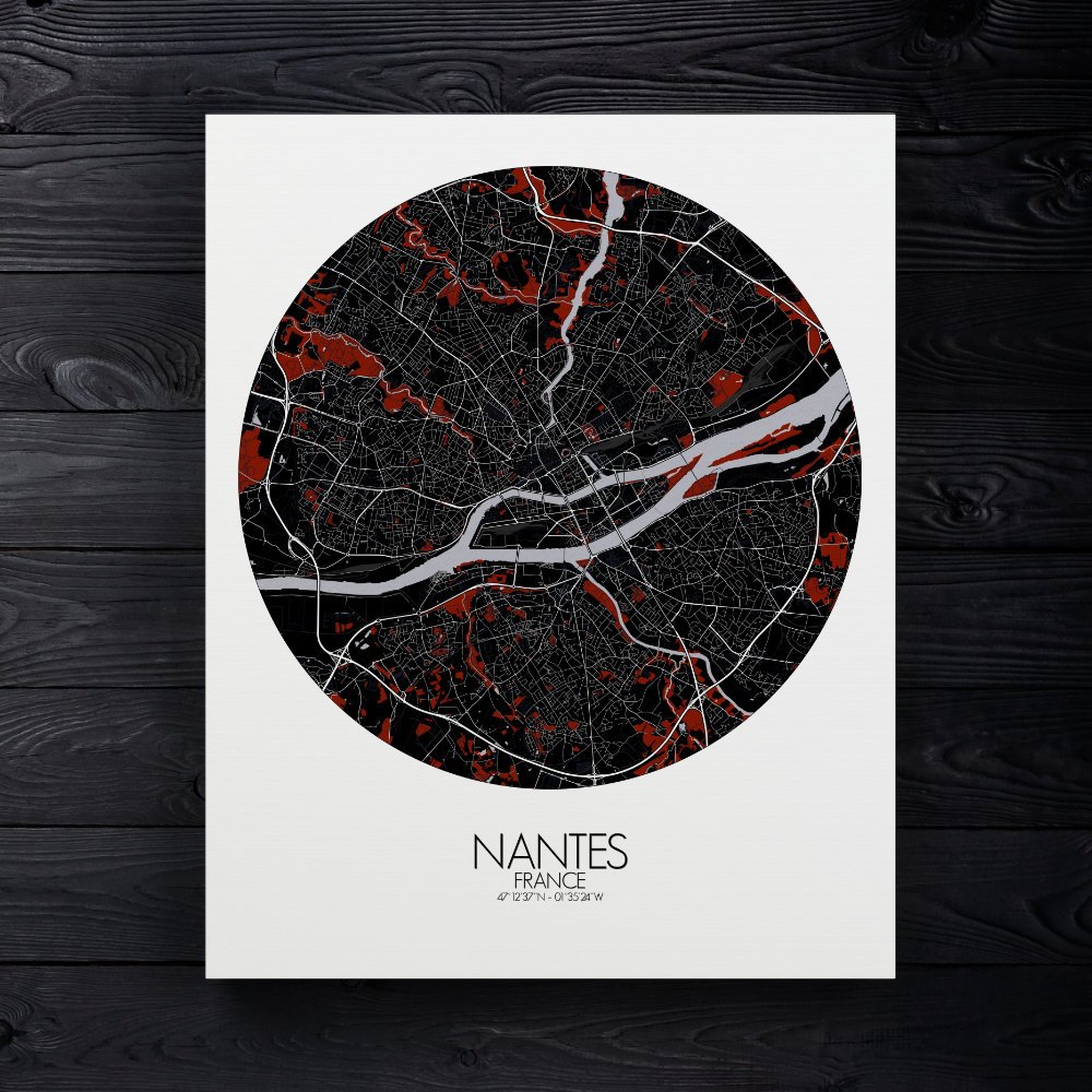
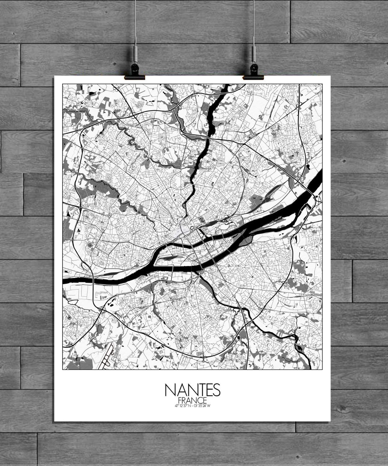
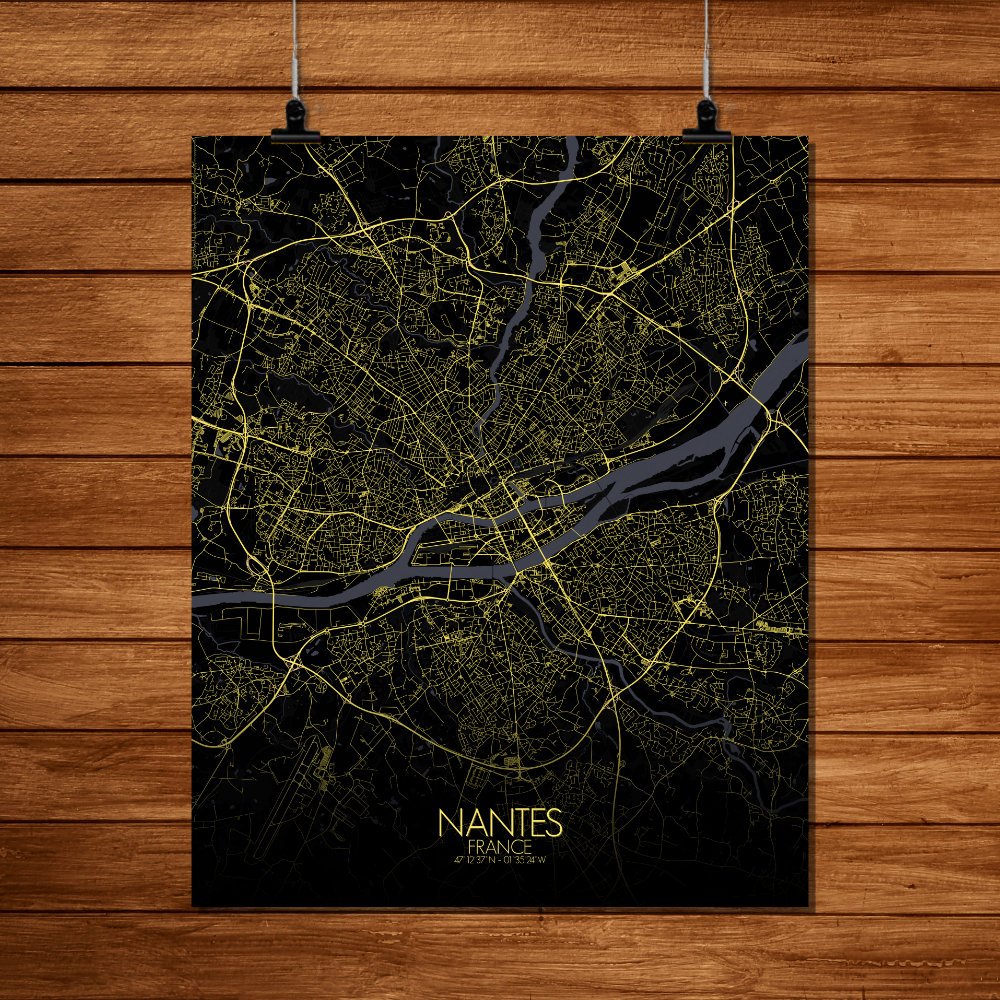

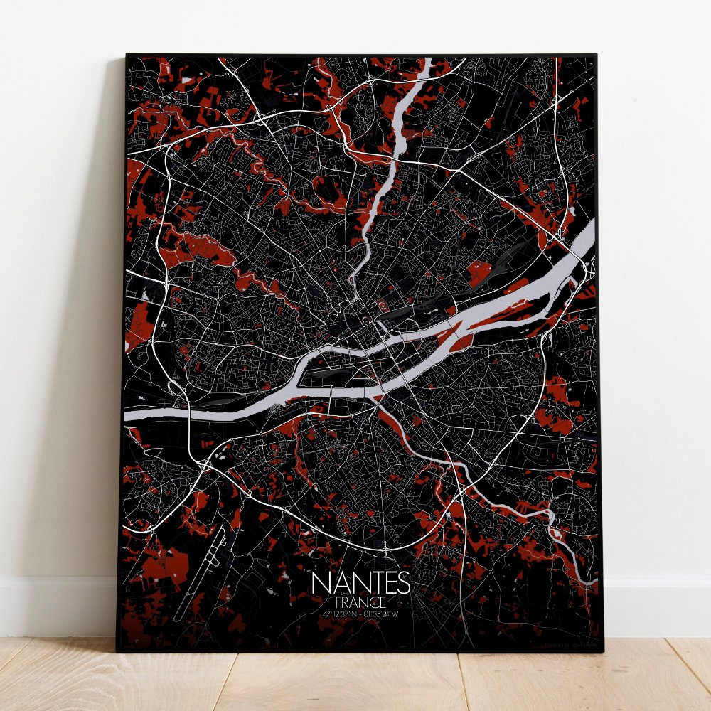
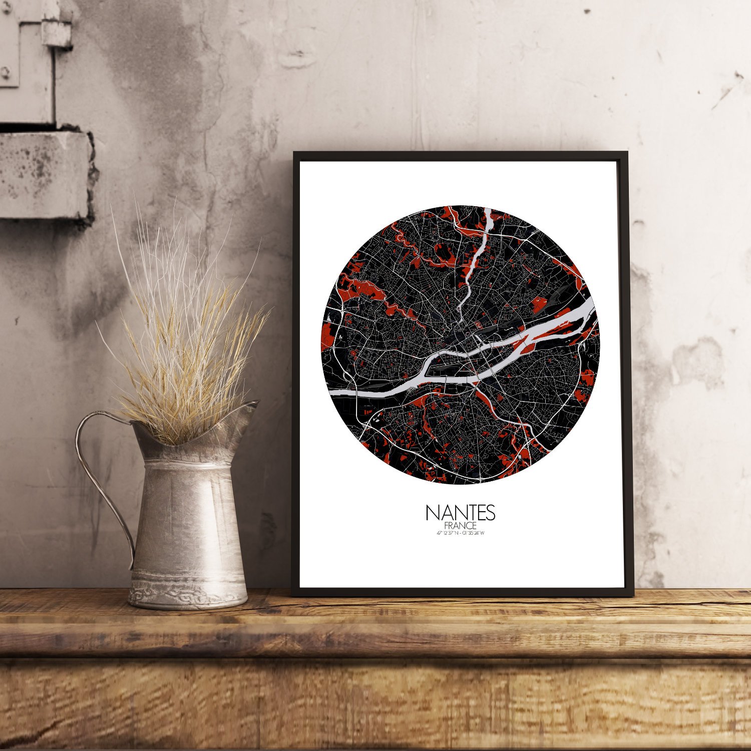
Poster City map of Nantes, France: This map of Nantes reveals a city shaped by water, built on islands, and ruled at various times by dukes, dreamers, and engineers with big ideas.
The Loire, wide and slow, flows through the heart of the map like a quiet storyteller, splitting and winding as if it can’t decide which way to go. Around it, the land rises gently, dotted with traces of old marshes and the outlines of long-lost channels. At the city’s core stands the Château des Ducs de Bretagne, its sturdy walls still keeping watch — though these days, mostly over picnickers. Nearby, the medieval streets of the Bouffay district knot together in a pattern that seems more inspired by instinct than by planning, perfect for getting pleasantly lost. To the west, the map shows where the shipyards once thrived, now home to mechanical beasts and giant elephants that somehow seem entirely natural for a city like Nantes. On the Île de Nantes, you’ll see the mix of old industry and bold design taking shape — cranes, galleries, green spaces, and maybe a touch of Jules Verne’s imagination slipping into the layout. Greenspaces are spread like quiet thoughts across the map: the Jardin des Plantes, lush and orderly, and further out, the Parc de Procé, following the lay of the land as if nature itself had drawn it with a careful hand. The terrain dips and folds in soft layers, never steep but never dull — a gentle landscape for a city with a quiet sense of mischief.