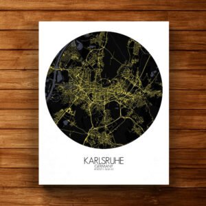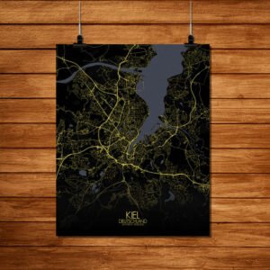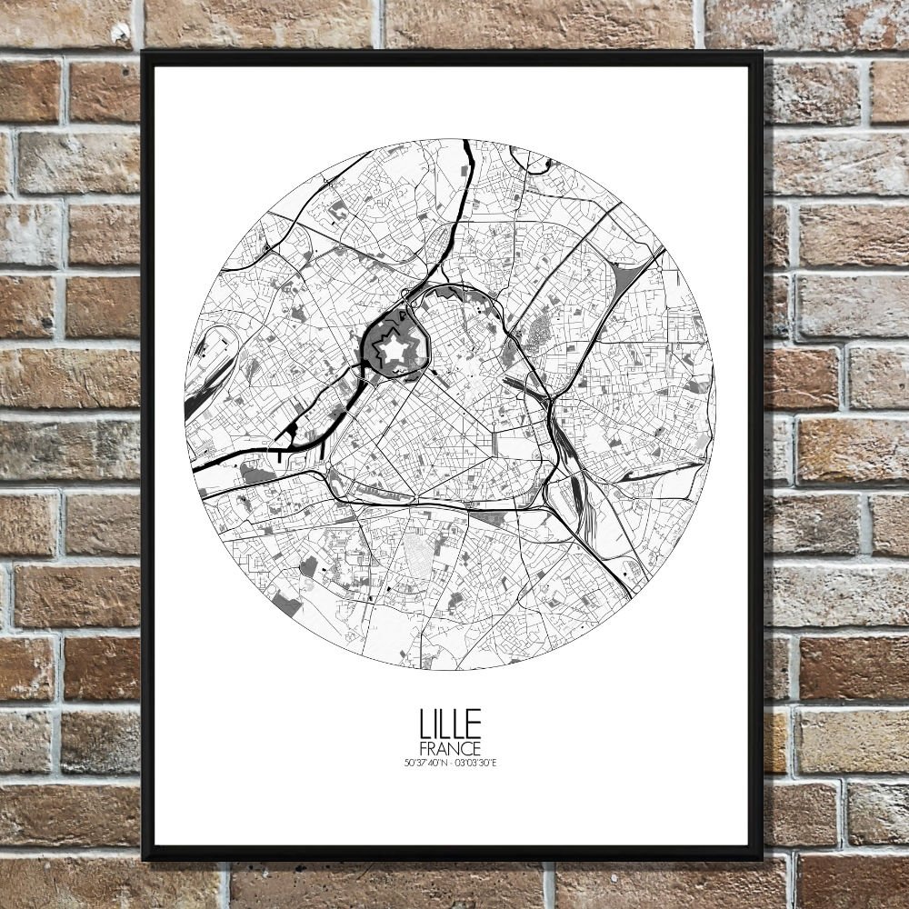
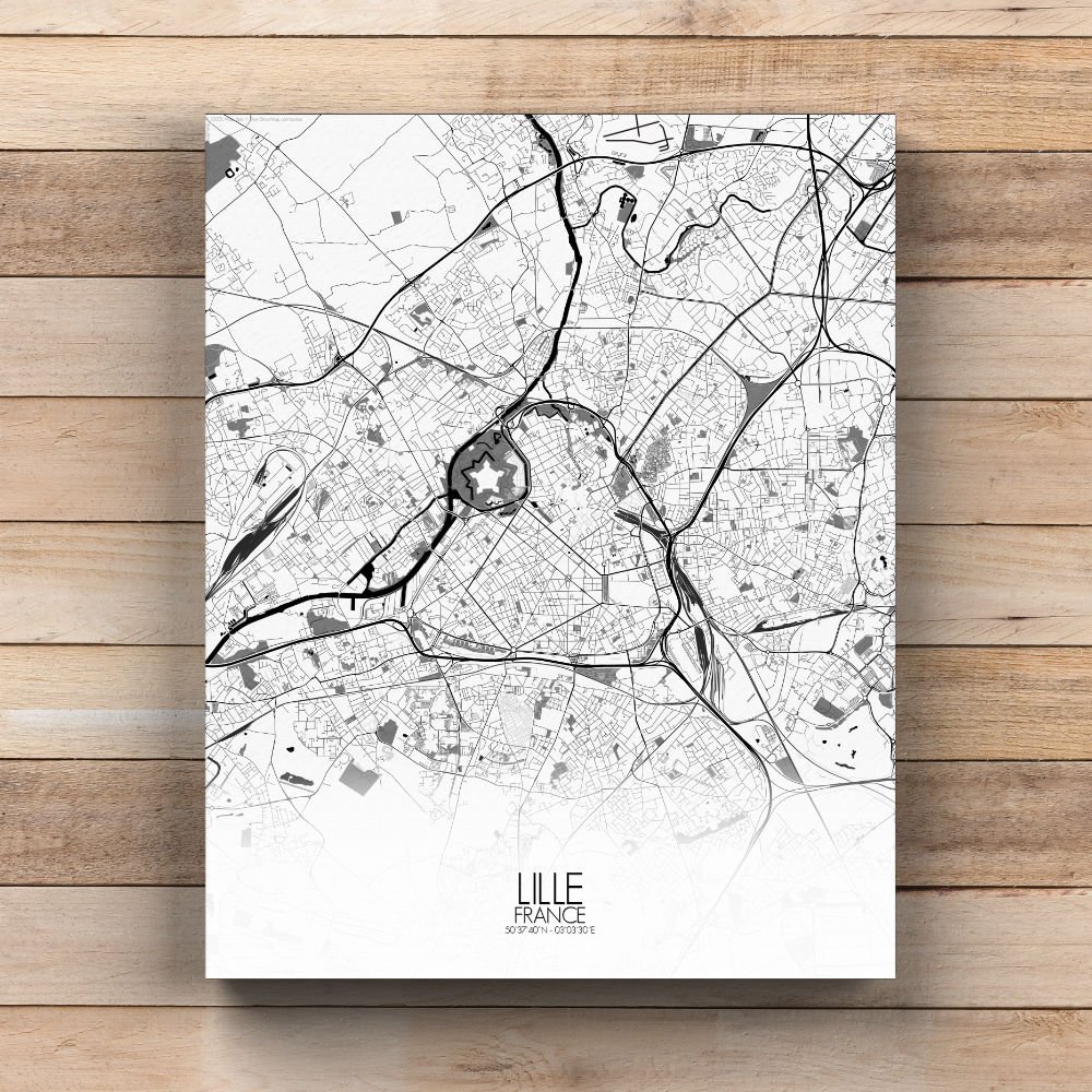
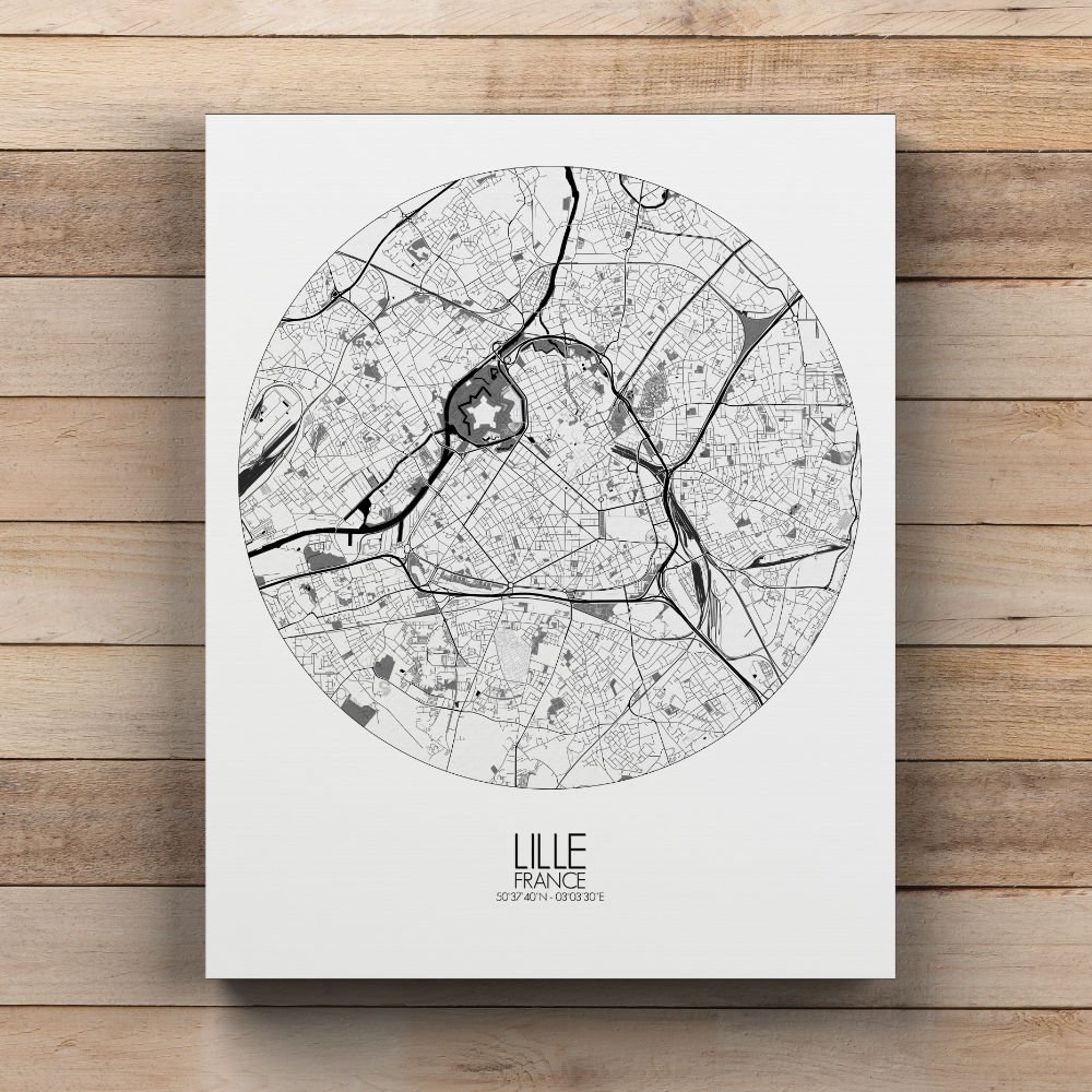
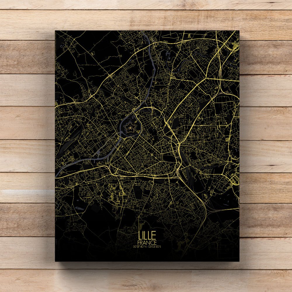
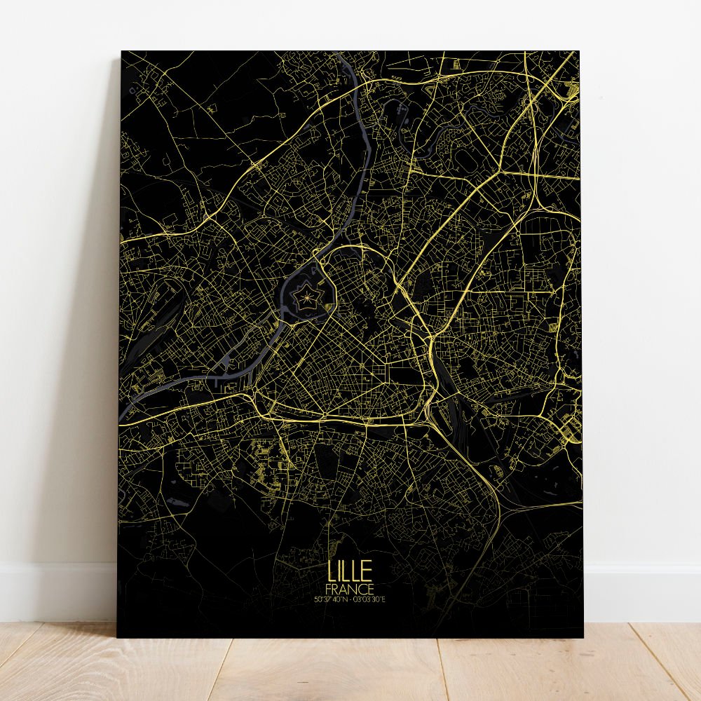
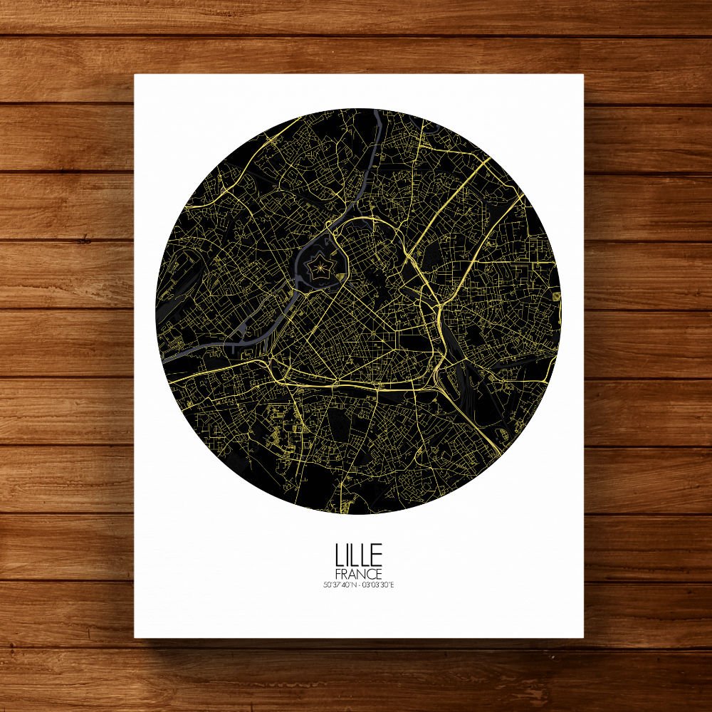
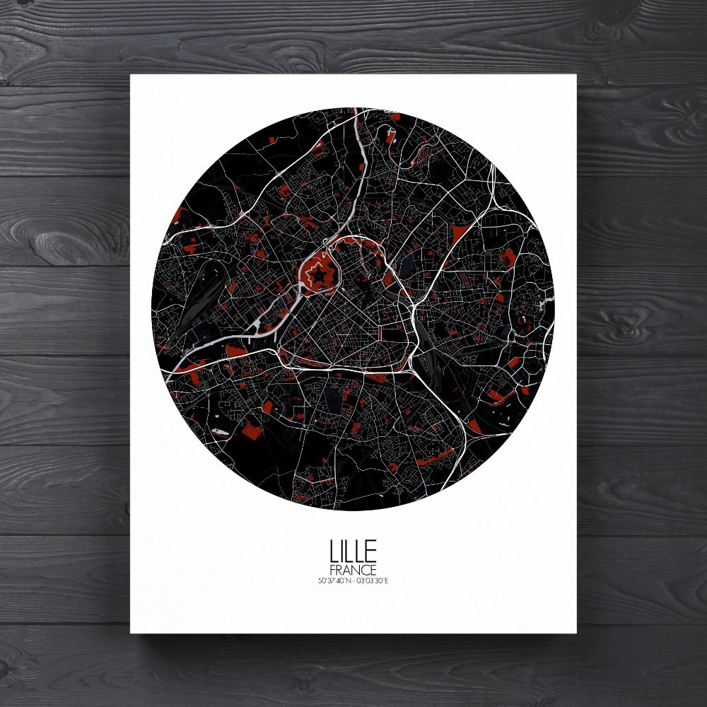
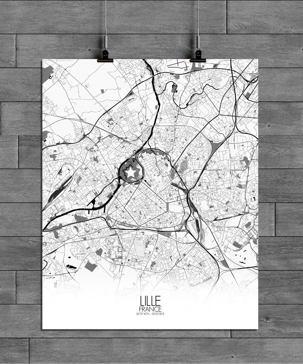
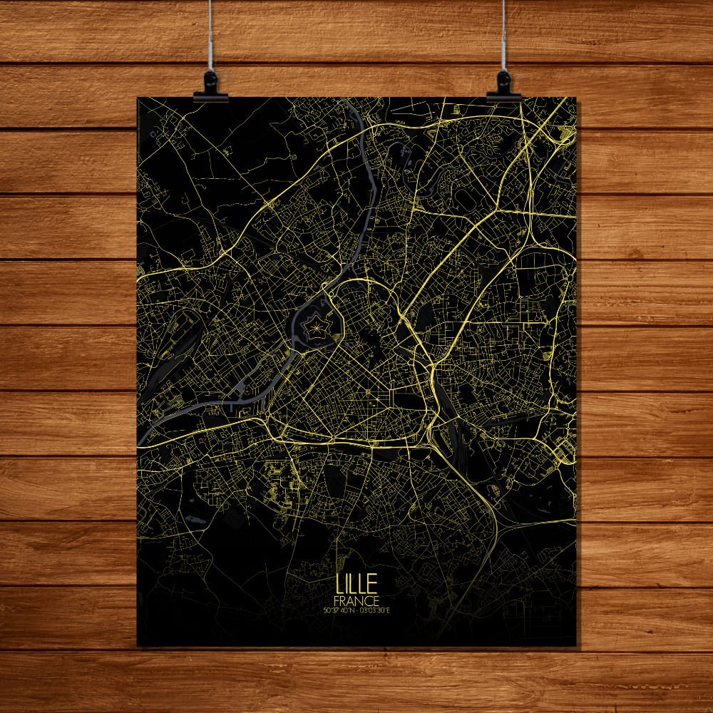

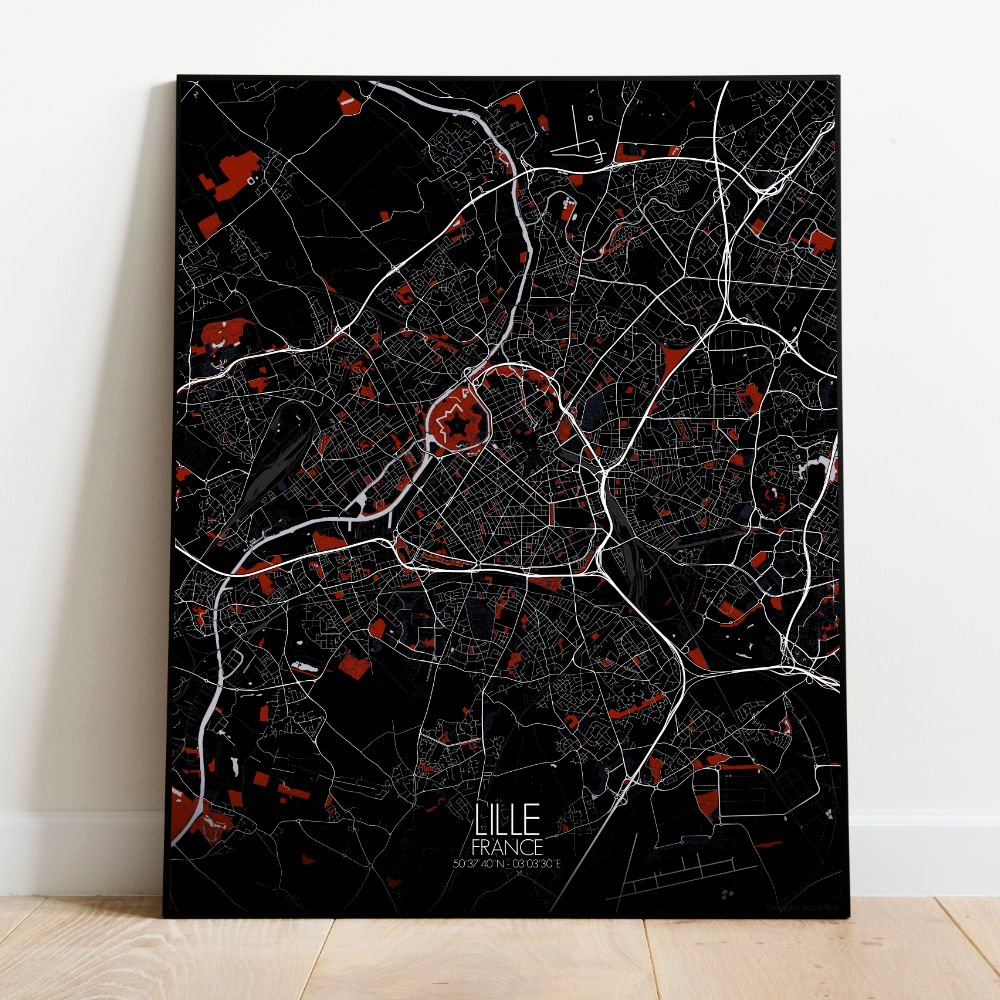
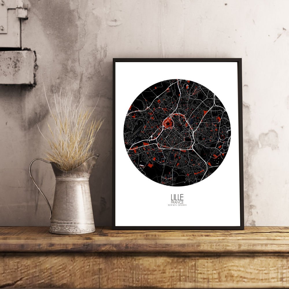
Poster City map of Lille, France: a city where cobblestone tales meet the quiet strength of the northern plains.
Nestled near the border with Belgium, this map of Lille captures its graceful sprawl with just enough flair to make you pause and say, “Ah, so that’s where the Citadel hides!” You’ll see the city as it leans into the curves of the Deûle river, a ribbon of calm that’s watched over centuries of merchants, monarchs, and mischief-makers. The terrain here is gentle—no dramatic peaks, but rather a landscape shaped by time, bricks, and a bit of stubborn charm. The map highlights Lille’s famous green lungs—the Parc de la Citadelle and the Jardin Vauban—places where locals escape the day with a stroll or a sandwich. These verdant spots sit like little secrets inside the city’s design, framed by old fortifications and meandering paths. Look closely and you’ll find the star-shaped Citadel, a 17th-century fortress that’s more likely to host joggers than soldiers these days, though its walls still seem to whisper stories of past sieges and sleepy sentries. From the Grand Place to the winding alleys of Vieux-Lille, the map shows how history holds hands with modern life. Its patterns aren’t random; they echo a city built with purpose and a touch of rebellion. Lille doesn’t shout—it smirks. And on your wall, this map does the same: a calm, topographic tribute to a city that’s quietly full of character, and never quite what you expect.