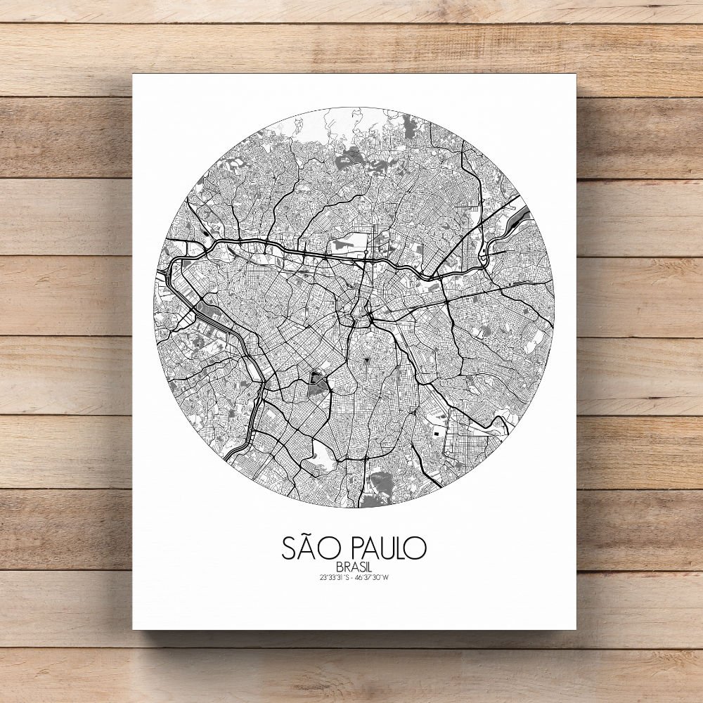
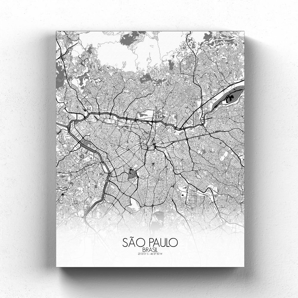
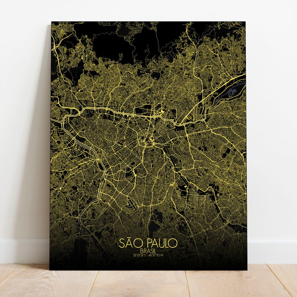
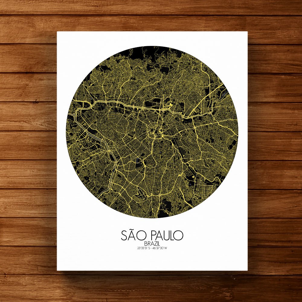
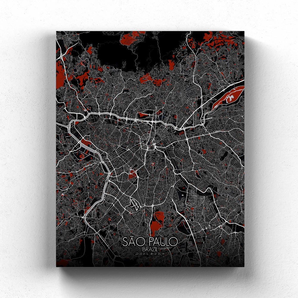
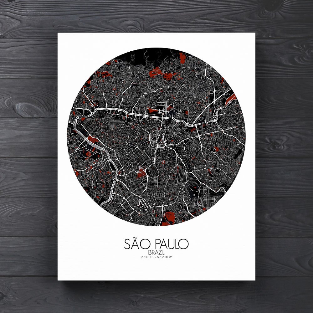
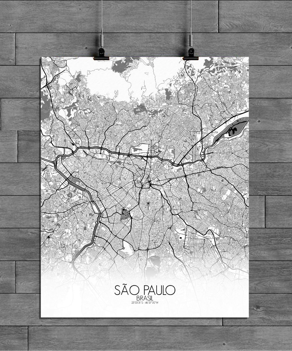
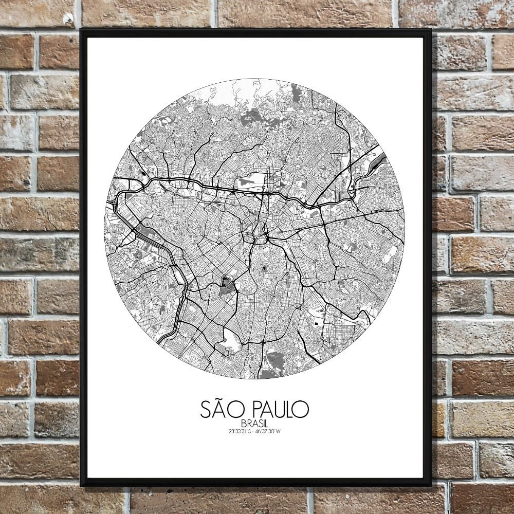
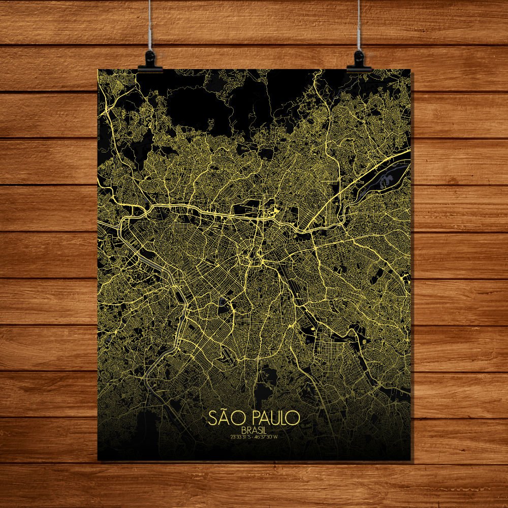
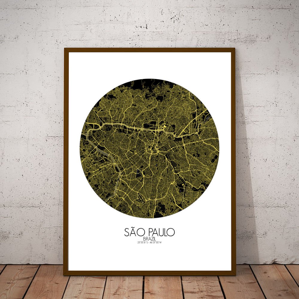
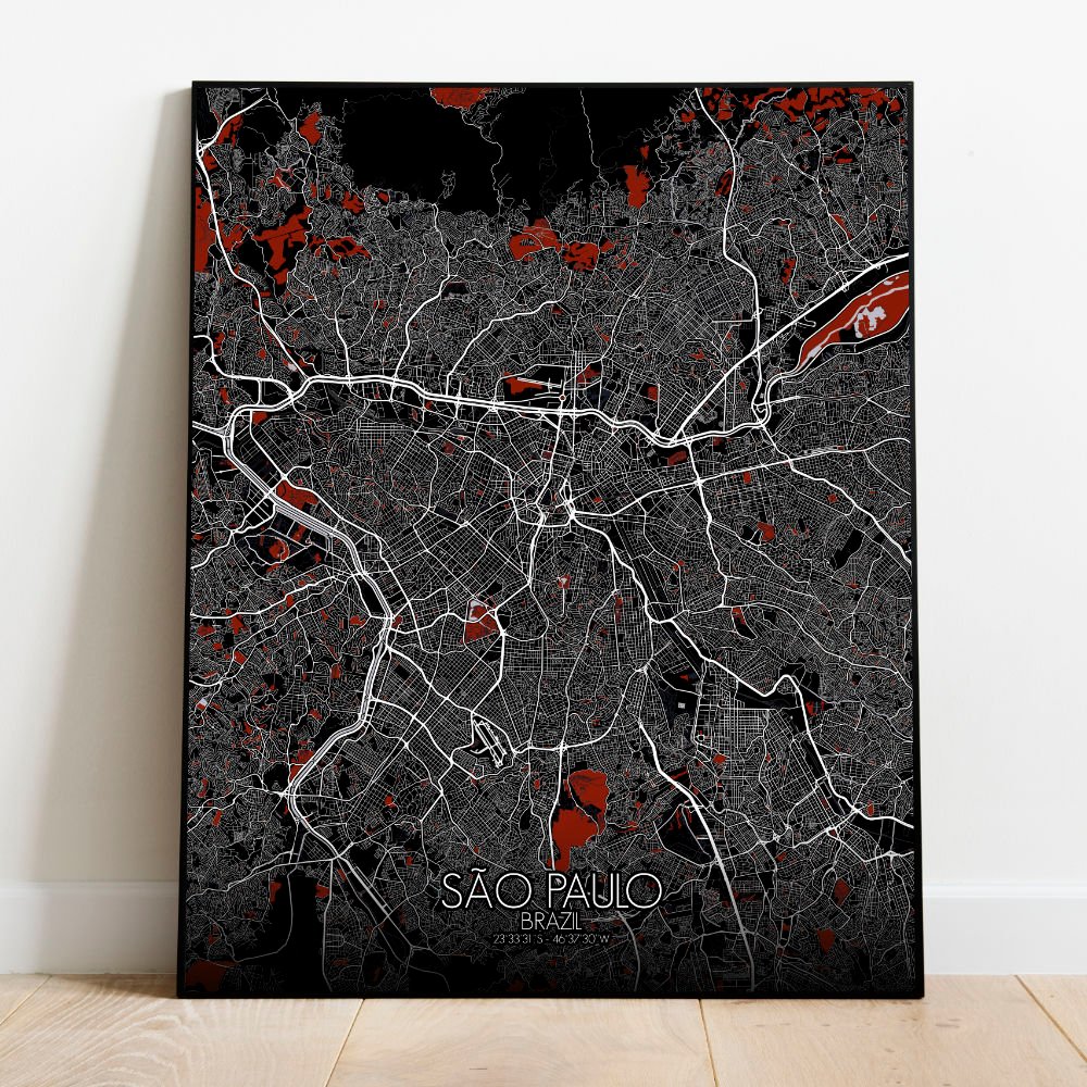
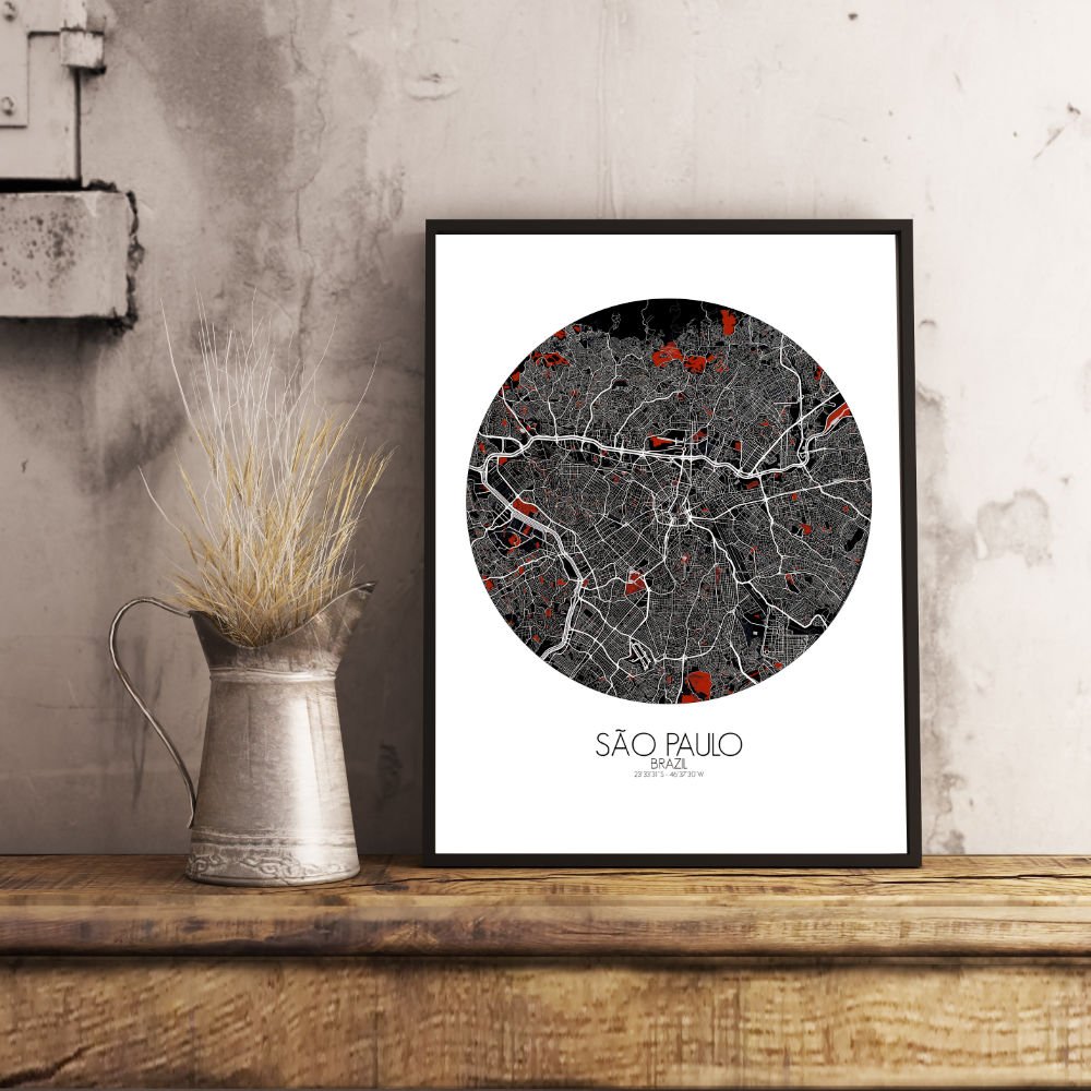
Poster City map of São Paulo, Brazil: it doesn’t so much sit on the land as sprawl across it, like a city in a hurry that forgot to stop growing.
This wall map captures the grand terrain of Brazil’s biggest metropolis, built atop gentle hills and plateaus that roll like quiet waves under the city’s weight. Look closely, and the map reveals how the land still breathes beneath the endless maze of streets—rivers threading through valleys, parks nestled where nature stood her ground, and the highlands giving São Paulo its distinct shape and altitude. From above, the city unfolds with a certain rhythm, interrupted now and then by green refuges like Ibirapuera Park—where joggers, museums, and modernist dreams all find a home—or the Cantareira forest to the north, a chunk of Atlantic rainforest that insists on staying wild despite the traffic. It’s said the Jesuits built the original settlement here for its high ground, perhaps to be closer to heaven or simply to avoid flooding—hard to say with priests and planners. Avenida Paulista slices across the map with the confidence of a financial capital, while the sprawling university campus by the river holds centuries of thought and the occasional student protest.