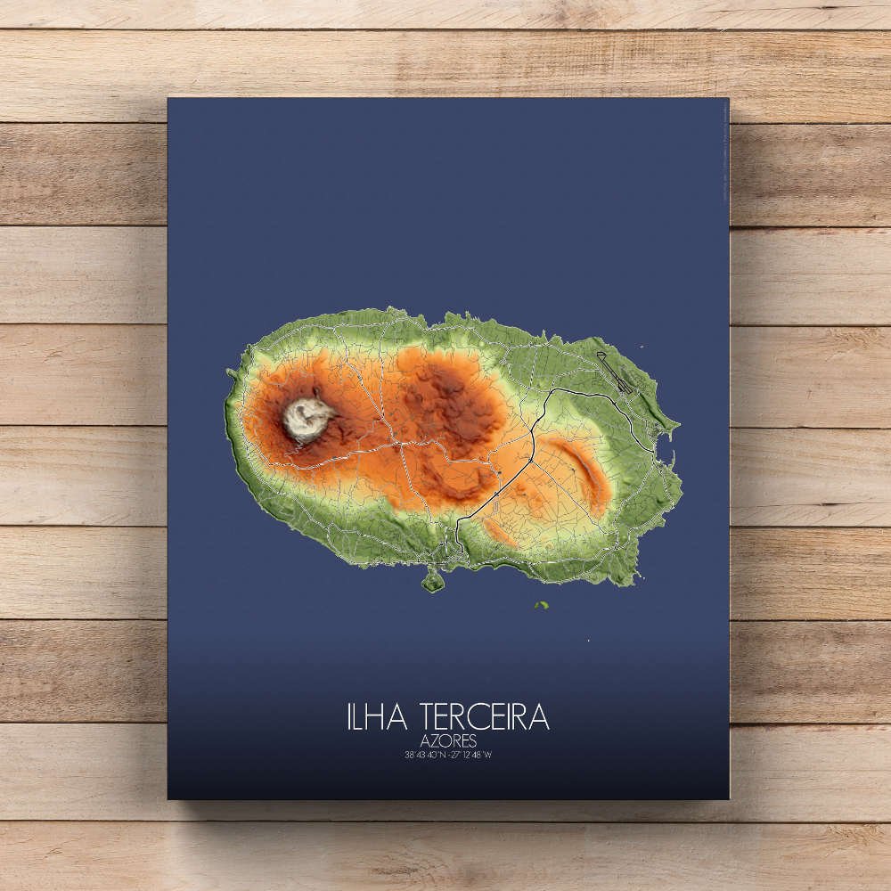
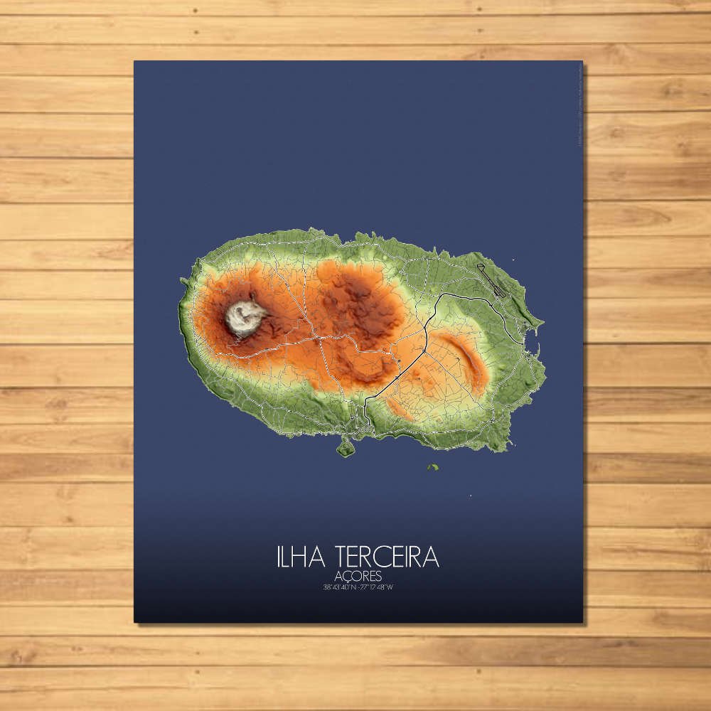
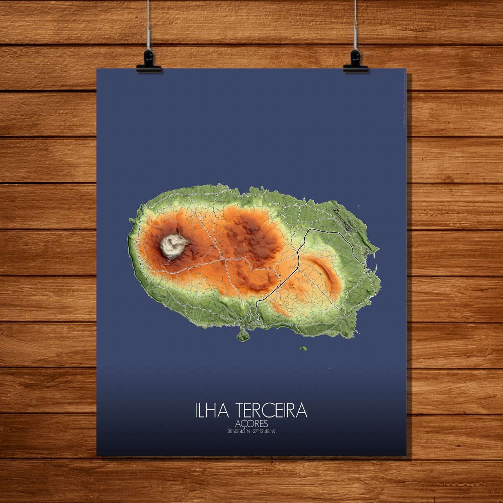

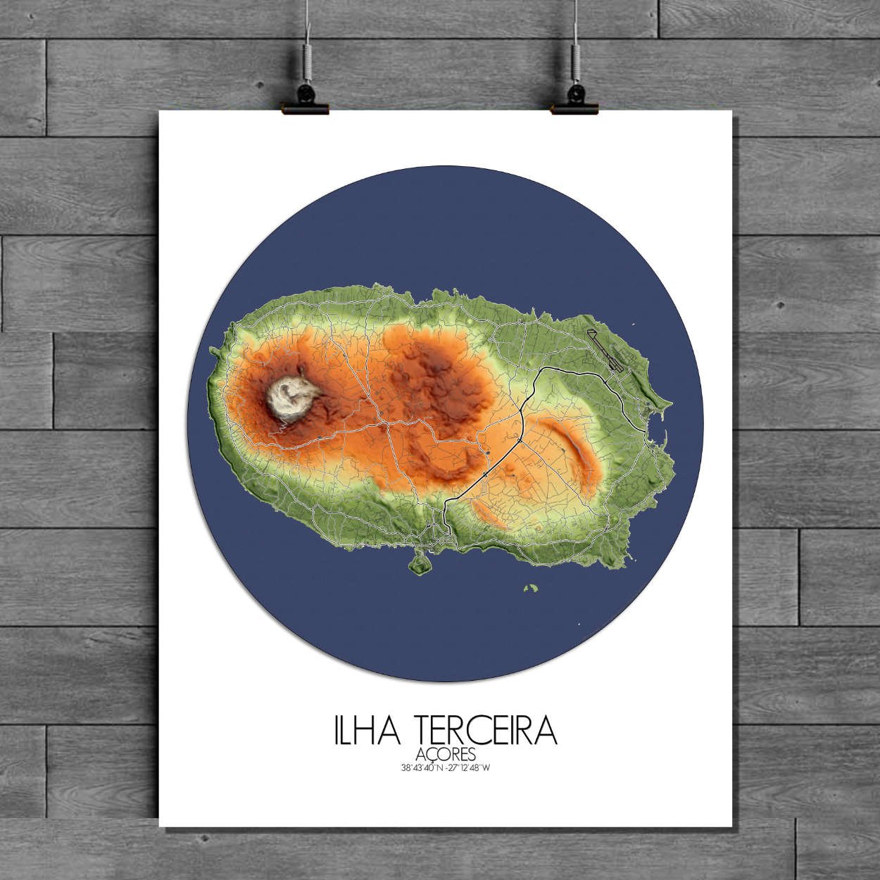
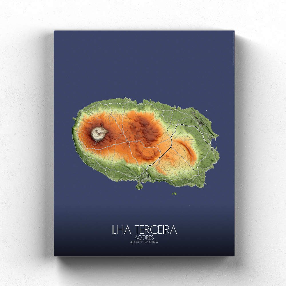
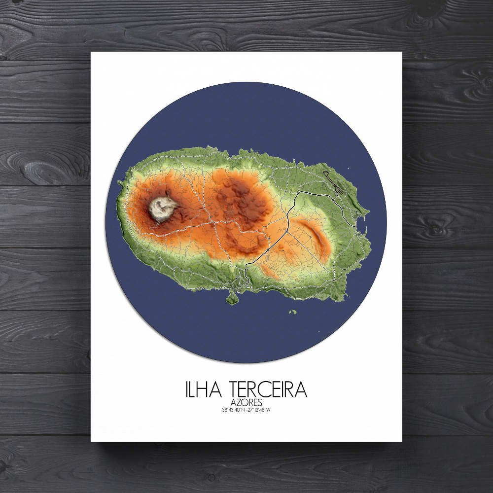
Poster of Elevation map of Ilha Terceira, Azores: a crossroads for explorers, traders, and military powers over the centuries.
Ilha Terceira, one of the most captivating jewels of the Azores, is an island where nature and history dance in perfect harmony, and this city map brings those elements to life in stunning detail. From the rugged volcanic landscape to the charming streets of its historic towns, Terceira’s geography is as varied and colorful as its culture. At the heart of the island rises the volcanic massif of Serra do Cume, where the rolling hills and patchwork of green fields create a peaceful, almost poetic contrast to the island’s more rugged features. The map’s topographic lines showcase the island’s distinctive ridges, craters, and valleys, giving a sense of the land’s volcanic origins. The island’s vibrant green fields, scattered with small farms and groves, are punctuated by steep volcanic craters like the Caldeira de Guilherme Moniz, a striking reminder of the island’s fiery past. The map draws attention to these natural features, each one like a brushstroke on a canvas, creating a sense of depth and wonder that invites the viewer to explore every inch of the island’s topography. Terceira also boasts an abundance of historical landmarks that make this map a visual feast. The town of Angra do Heroísmo, the island’s capital, stands out with its UNESCO World Heritage-listed center, where cobblestone streets wind their way around colorful colonial buildings. The legendary Furnas do Enxofre, a geothermal area in the center of the island, offers a nod to the island’s volcanic roots, with its steamy fumaroles and sulfurous vents that have been a source of fascination for centuries.