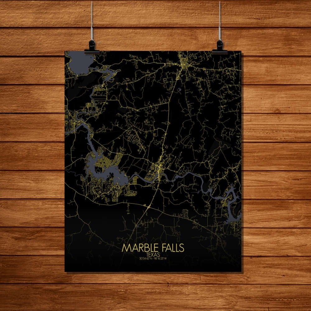
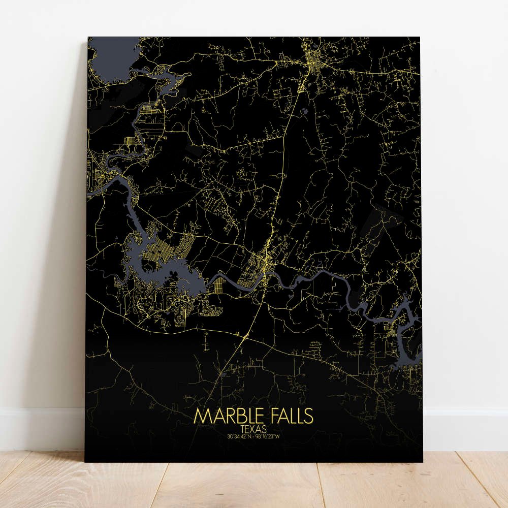
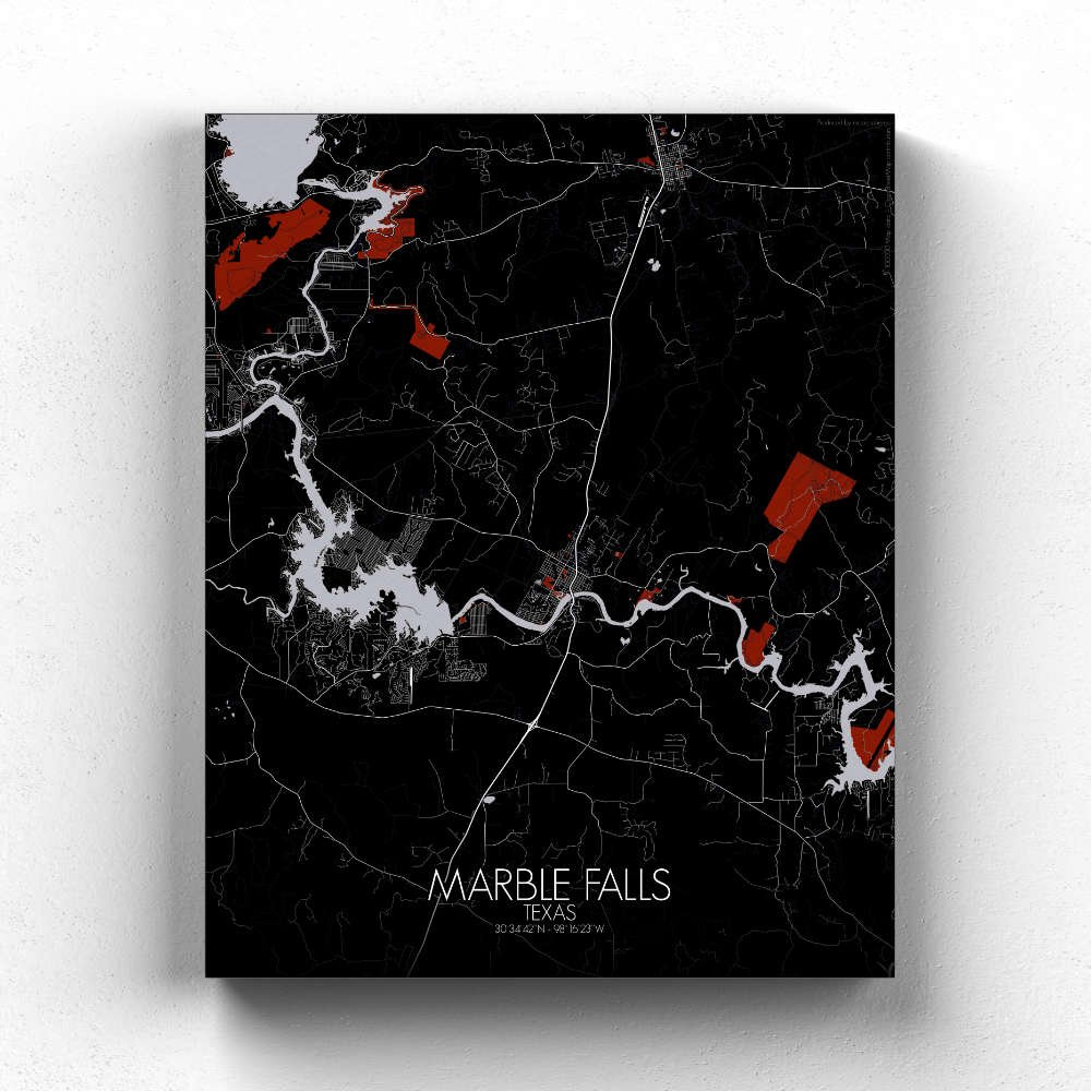
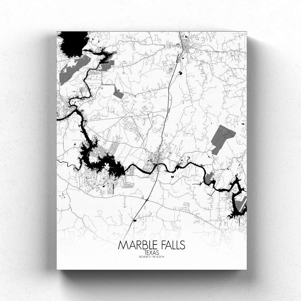
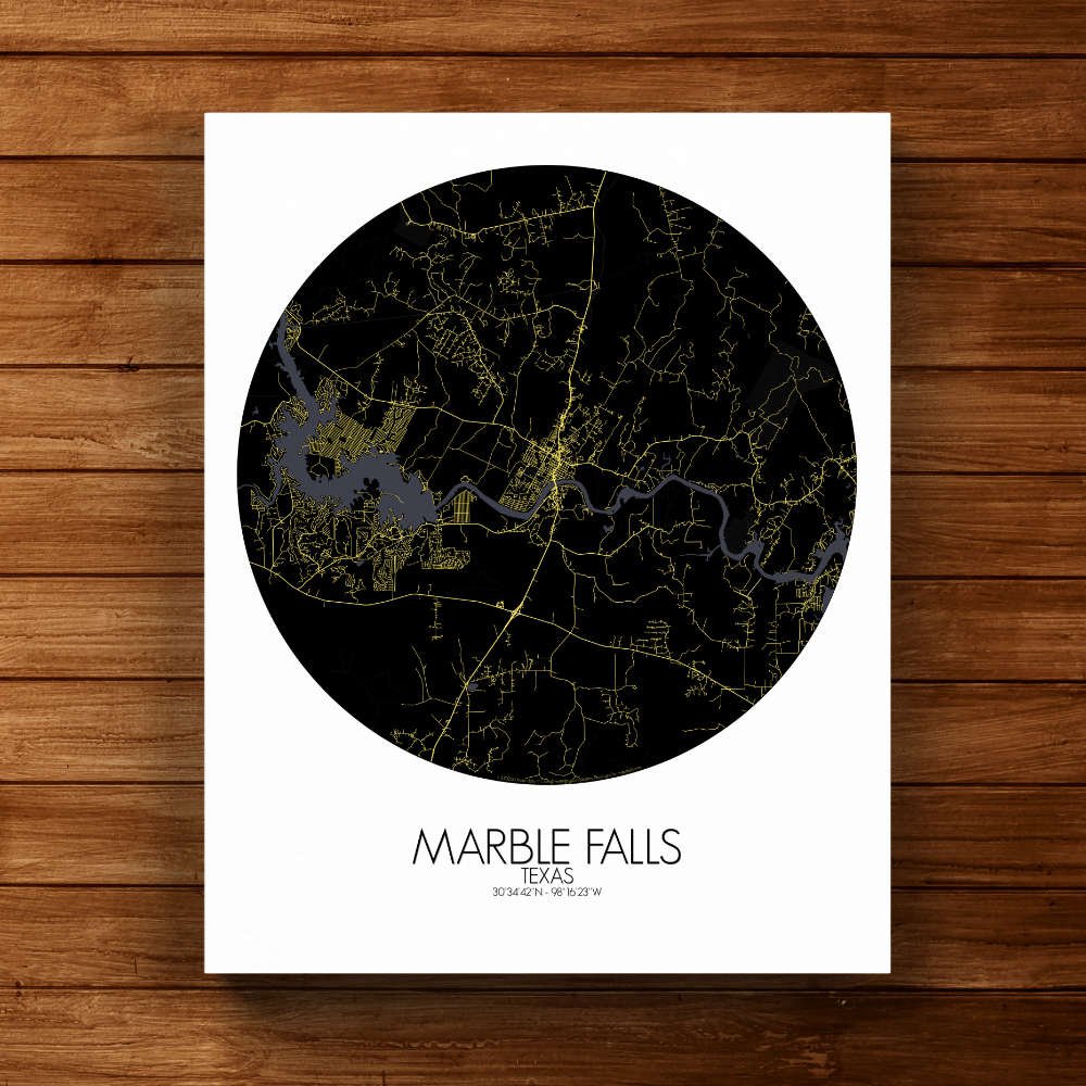
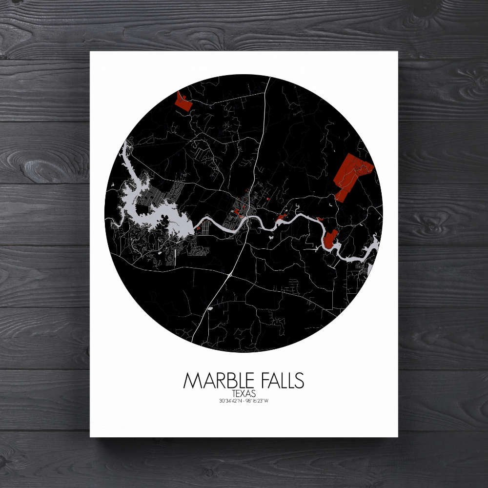
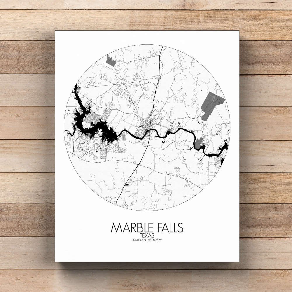
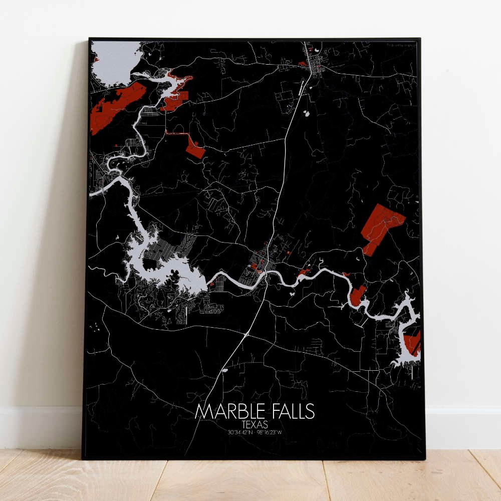
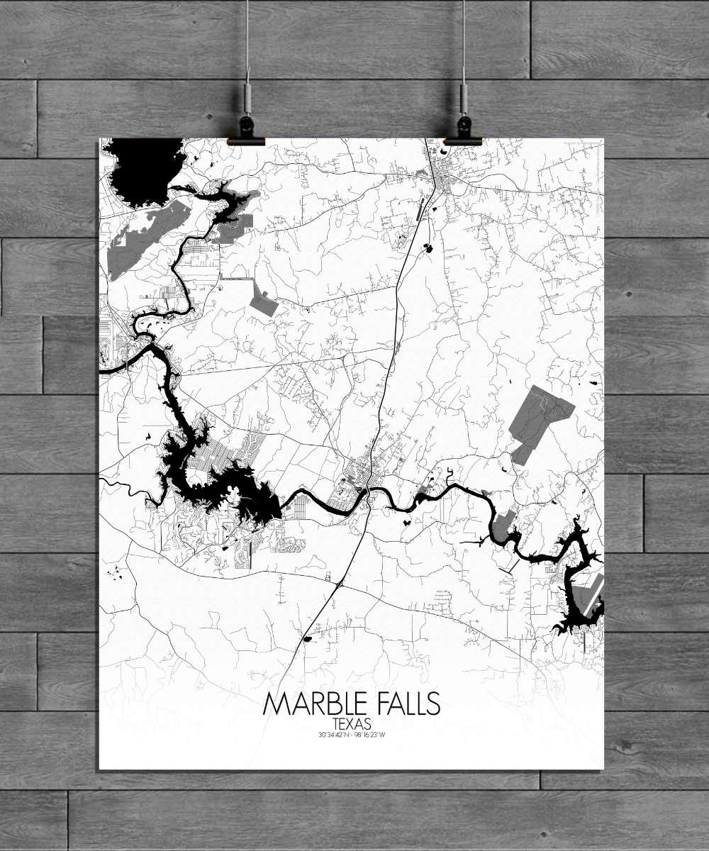
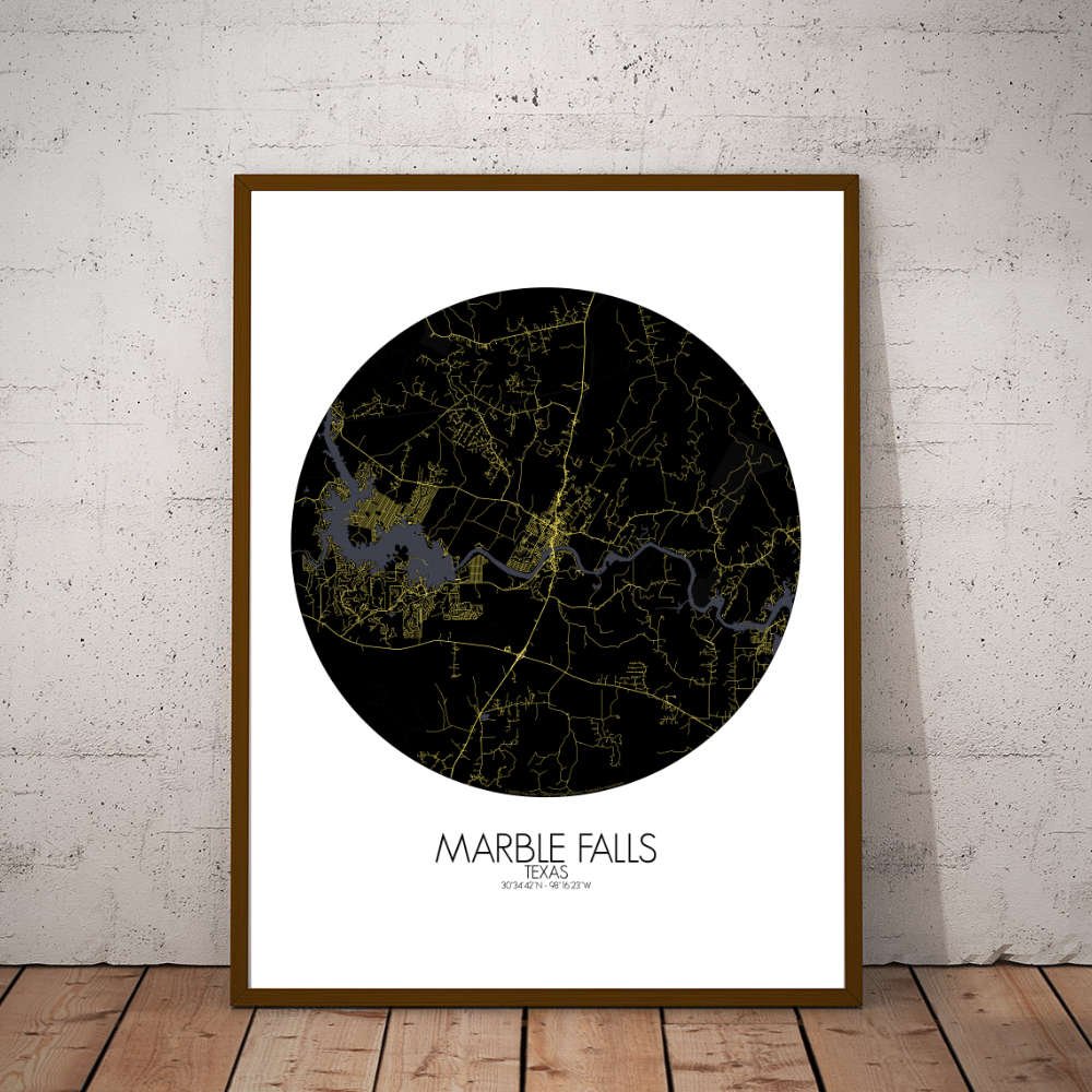
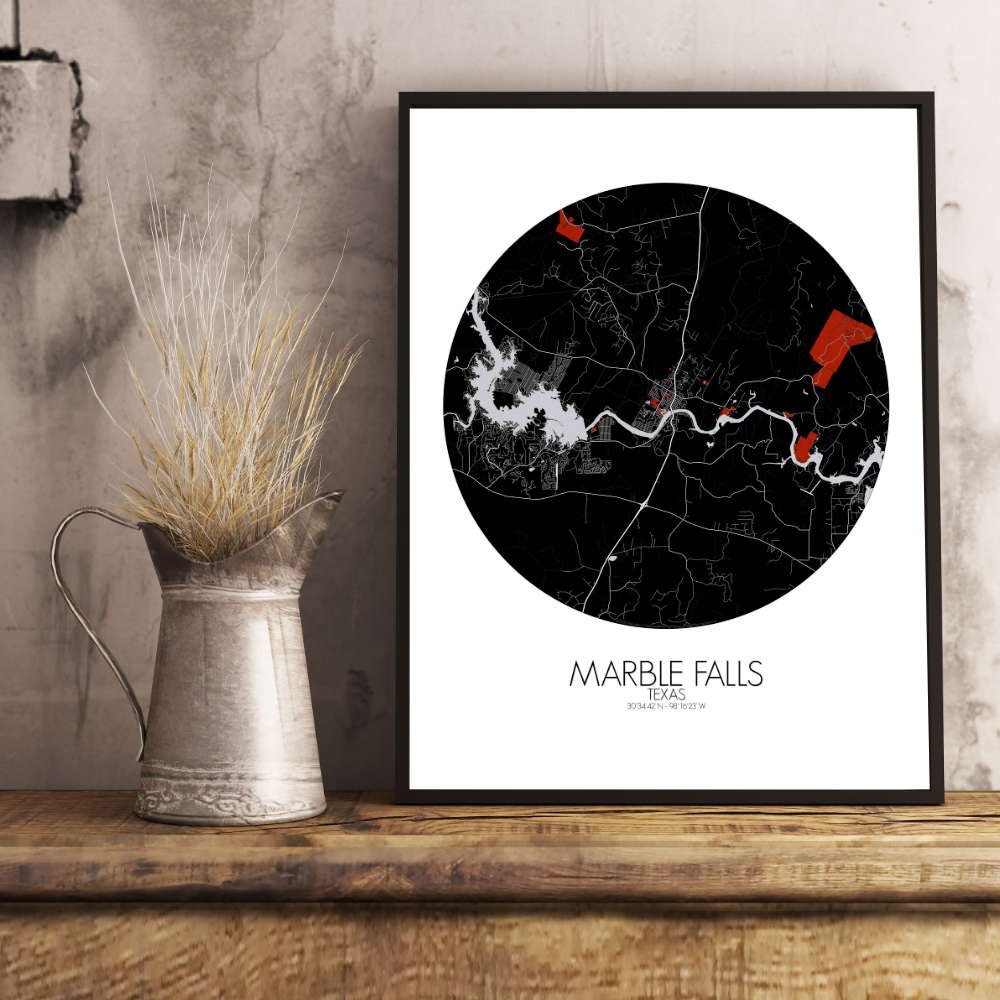
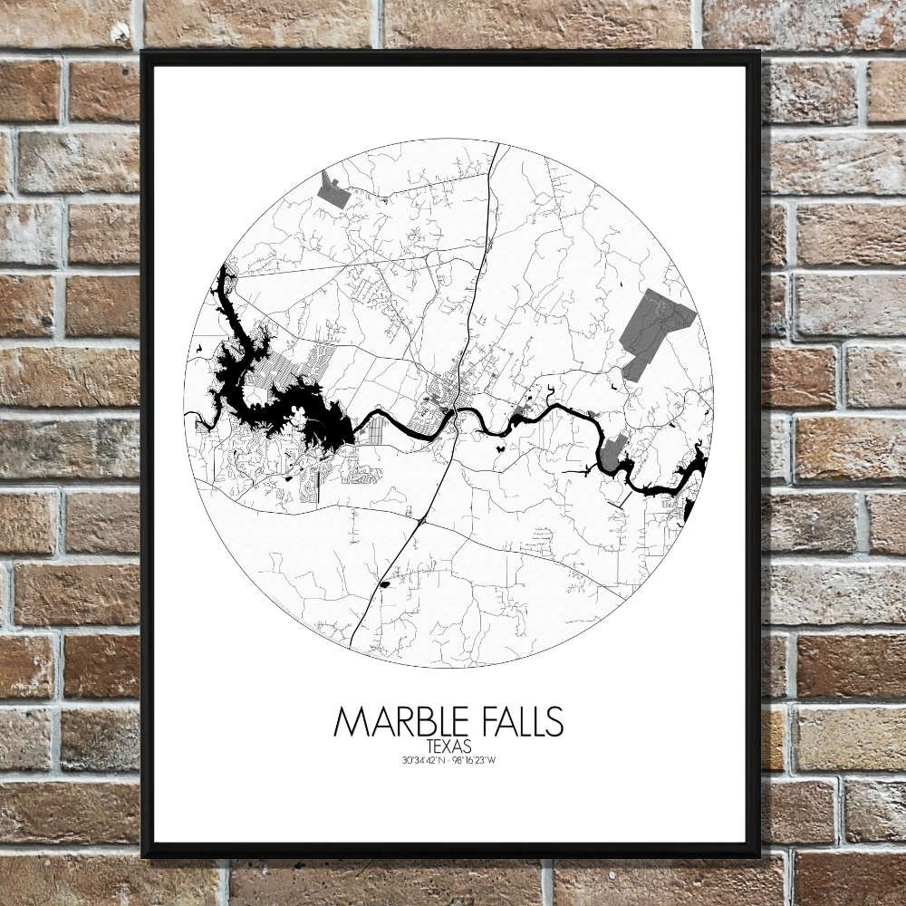
Poster of Marble Falls, Texas (City Map) : It’s more than just a map—it’s a piece of Texas Hill Country that will bring the charm of Marble Falls to any wall.
This captivating map of Marble Falls, Texas, is a tribute to the striking landscape where the rugged beauty of the Texas Hill Country meets the tranquil waters of the Colorado River. The map beautifully highlights the way the land dips and rises, offering a scenic portrait of the area’s natural charm. The Colorado River, curving gracefully through the map, not only adds a serene blue ribbon of water but also forms the lifeblood of the town—once a place where settlers and travelers alike gathered at its banks. The rolling hills that surround the town create a sense of peaceful isolation, broken only by the occasional outcropping of rock or the winding paths that lead to hidden coves and scenic vistas. Marble Falls earned its name from the discovery of marble-like limestone in the riverbed, a feature that was both a resource and a mystery for early pioneers. These natural stone features, still part of the landscape today, add texture and depth to the map, evoking the town’s geological heritage. The Johnson Park is a popular destination for both locals and visitors, offering a peaceful retreat where you can enjoy the beauty of the area and perhaps even spot a few native deer grazing nearby. Meanwhile, the picturesque Lakeside Park offers panoramic views of the river and the surrounding hills, where the natural world and the town’s cozy charm seem to exist in perfect harmony.