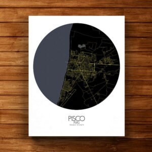


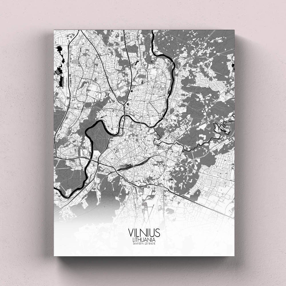
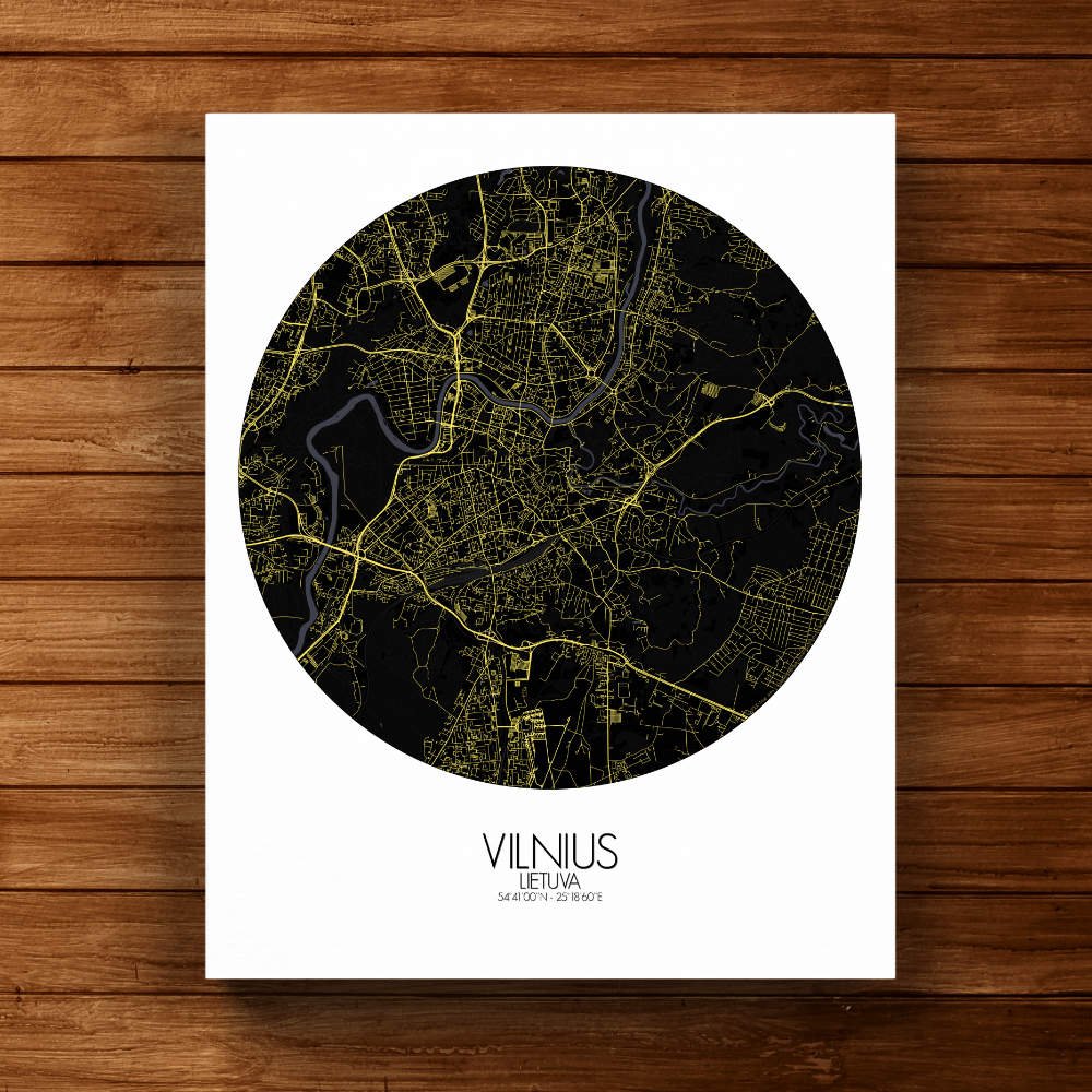

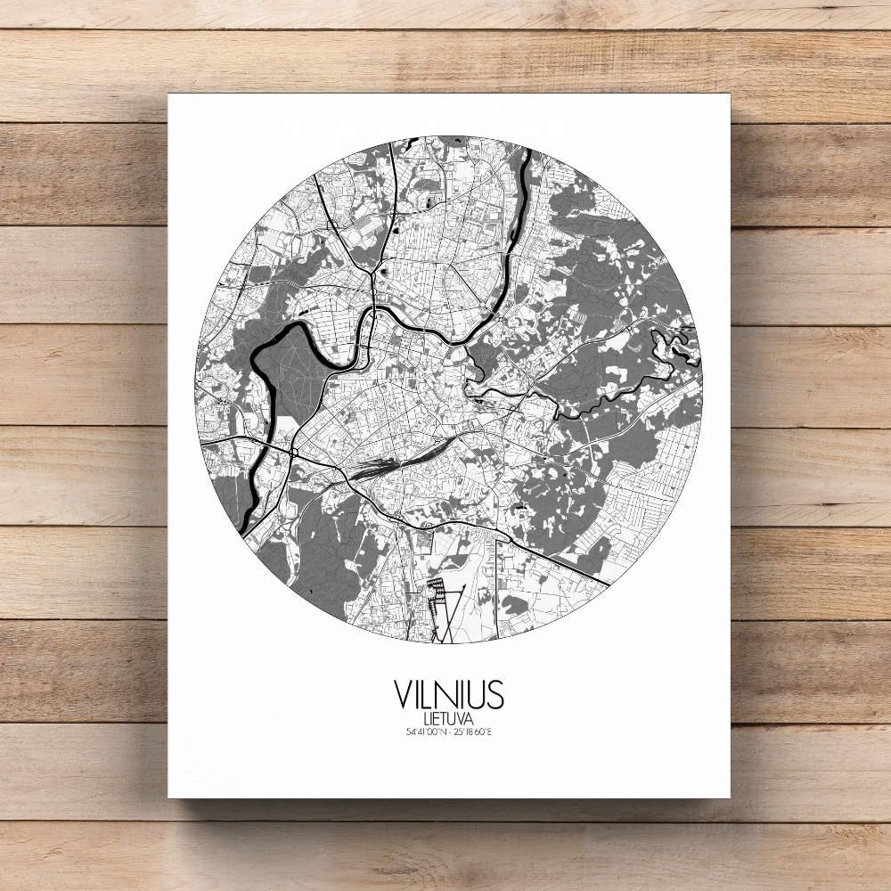

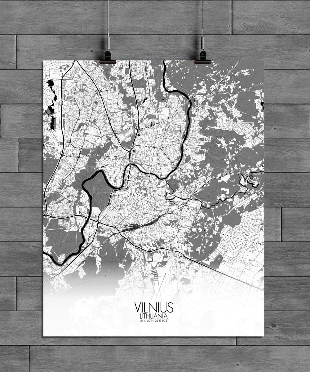
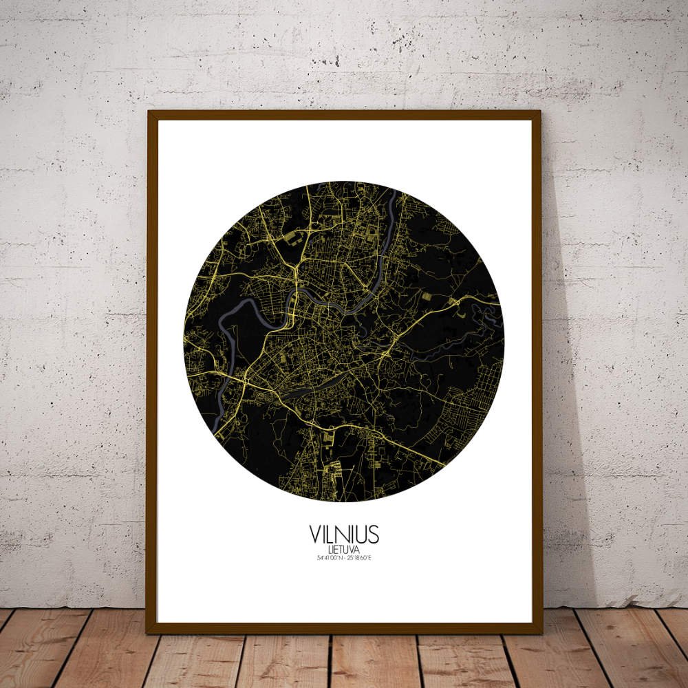

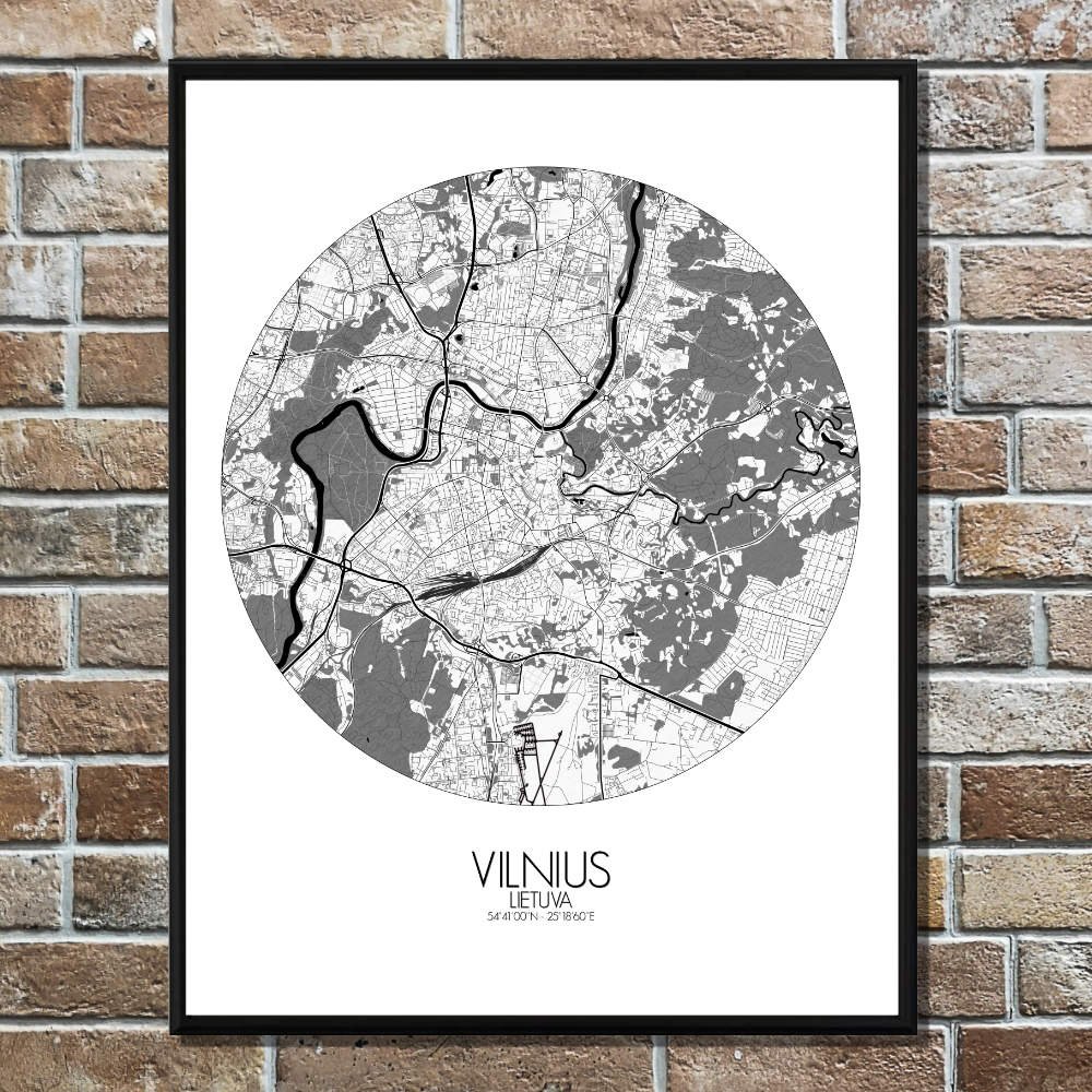
Poster City map of Vilnius, Lithuania: Discover Vilnius, the capital of Lithuania, with a map that brings its unique blend of history, geography, and charm to life.
Vilnius sits on the banks of the Neris River, which weaves through the city, splitting it into distinct parts. The map captures the city’s scenic hills, especially the one where the famous Gediminas’ Tower stands proudly, offering a glimpse of the past and a view that stretches across the entire city. From this vantage point, you can see how the Old Town, a UNESCO World Heritage site, sprawls below, with its maze of narrow streets and colorful buildings that tell tales of centuries gone by. The map also highlights the lush greenery that makes Vilnius so special. The city is dotted with beautiful parks, perfect for anyone looking for a moment of tranquility. To the east, Vingis Park offers wide open spaces, peaceful paths, and the occasional concert or event, while the expansive Bernardine Gardens to the south invite both locals and tourists to enjoy a leisurely walk or a moment of rest. You’ll also find the picturesque Pavilniai Regional Park, where hills and forests create the perfect setting for nature lovers to escape the city buzz. The map features the majestic Vilnius Cathedral, its imposing neoclassical façade standing tall at the city’s heart. Just a short walk away, the Gothic beauty of St. Anne’s Church catches the eye, a building so beautiful, Napoleon himself is said to have wished to take it back to Paris. And let’s not forget the quirky Uzupis district, a bohemian neighborhood that declared itself an independent republic, with its own constitution and a whimsical, artistic vibe.