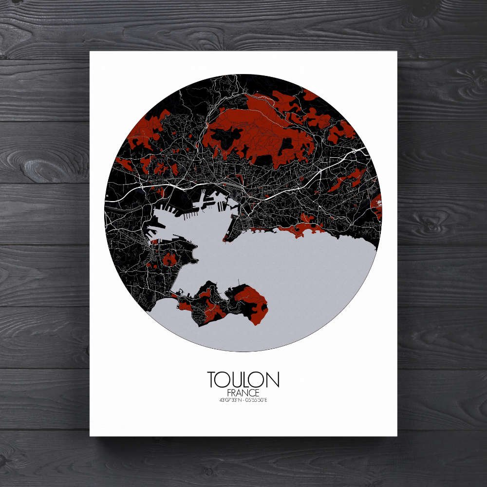
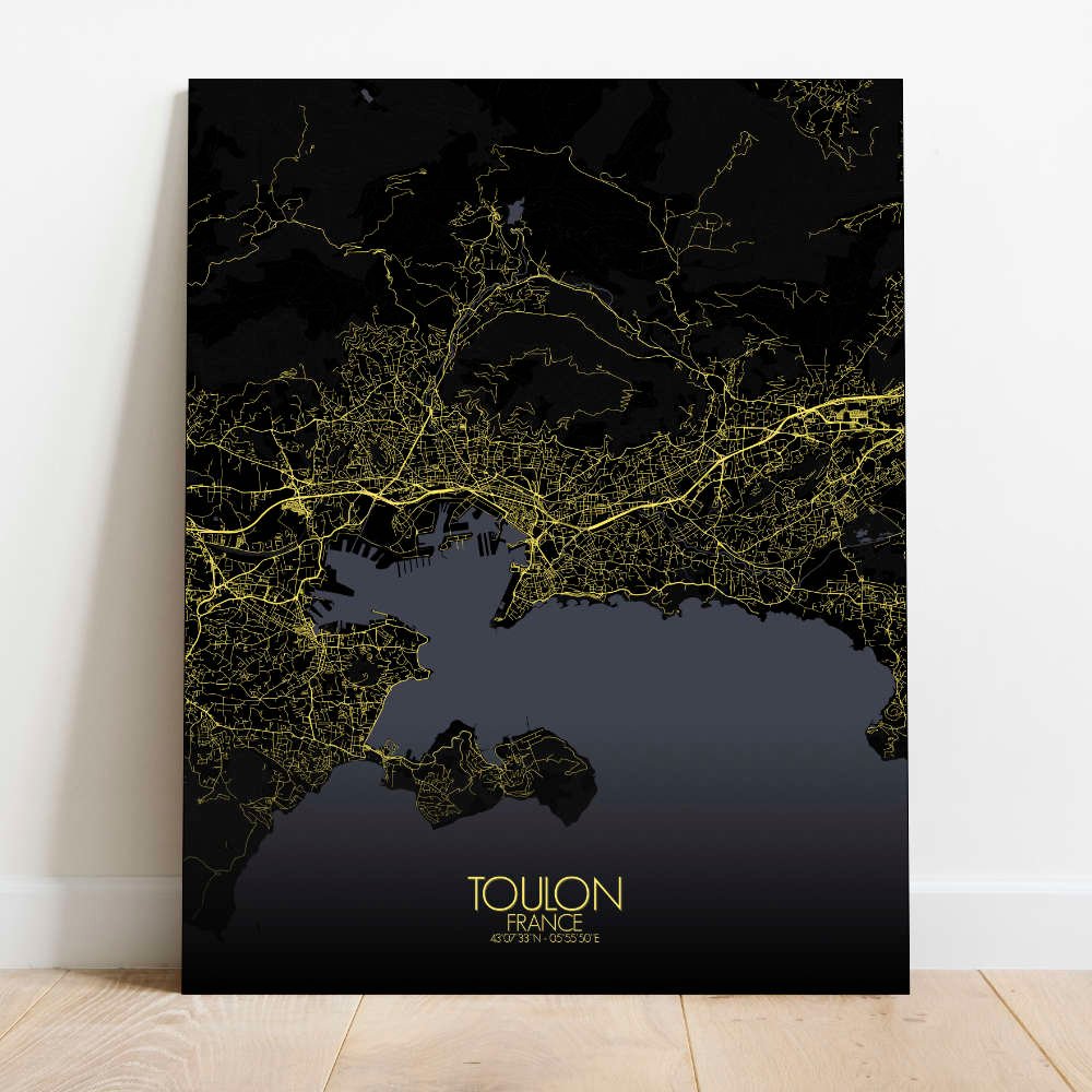
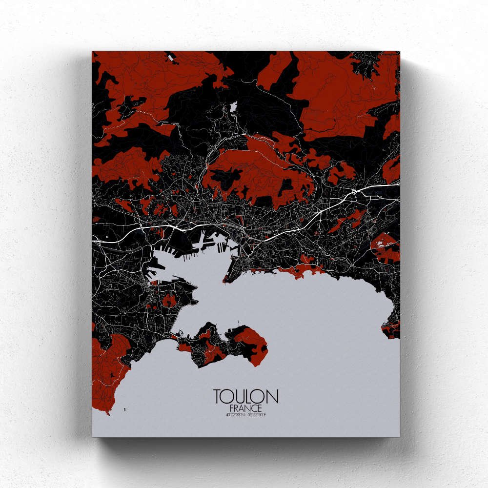
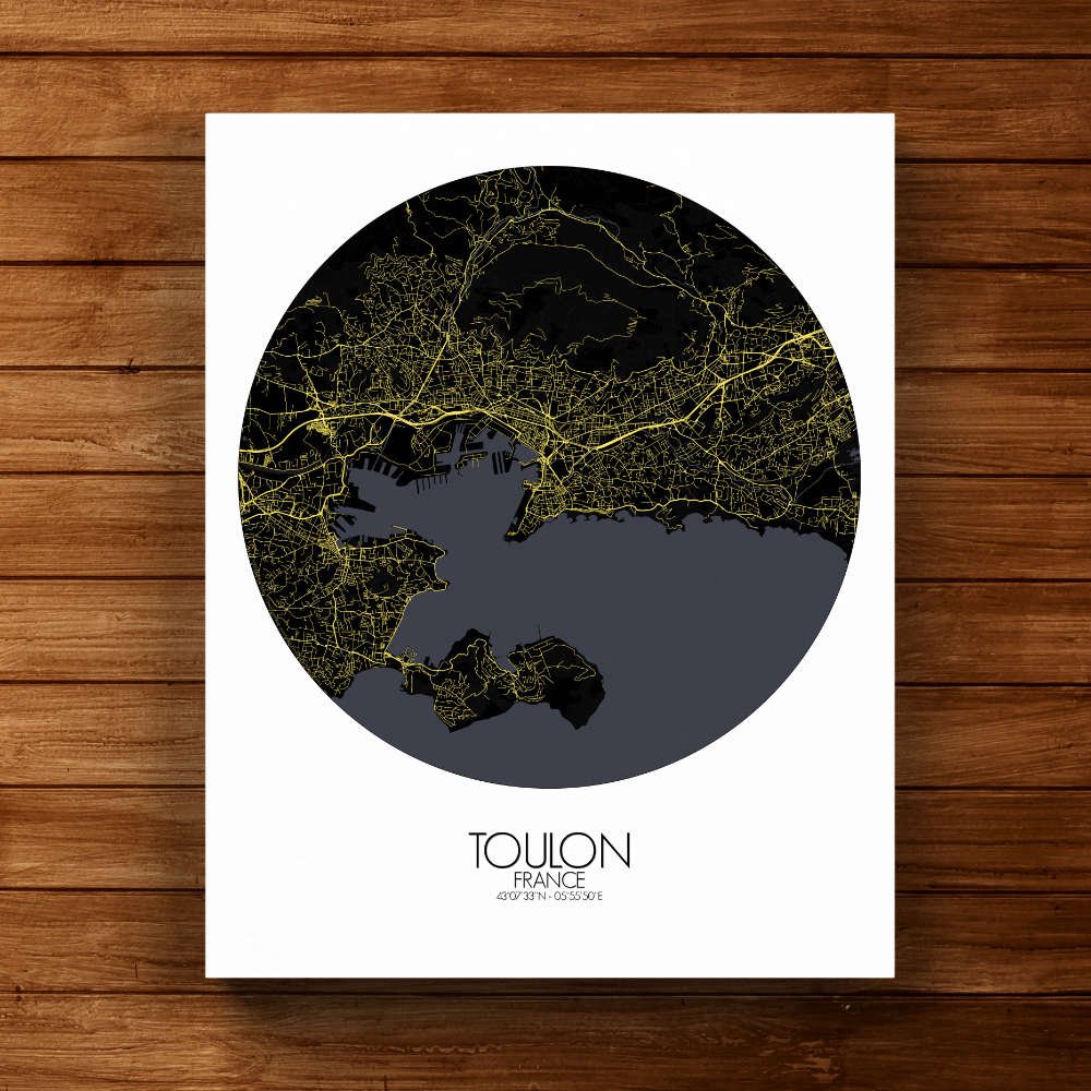
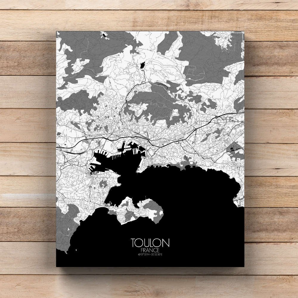
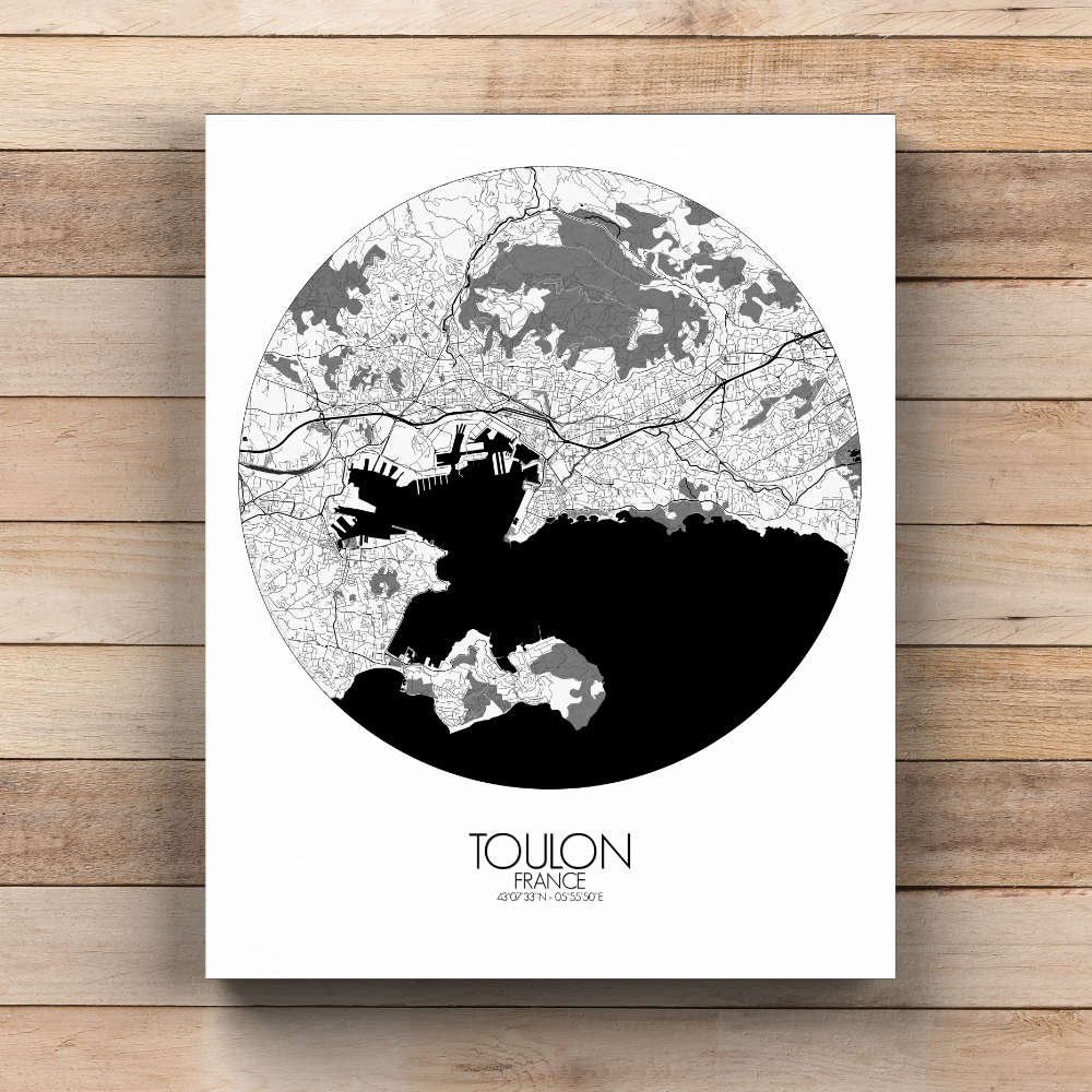
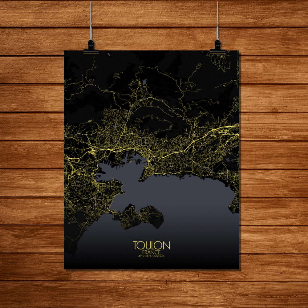
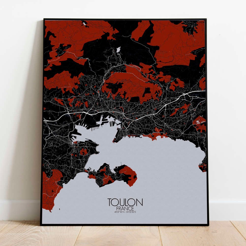
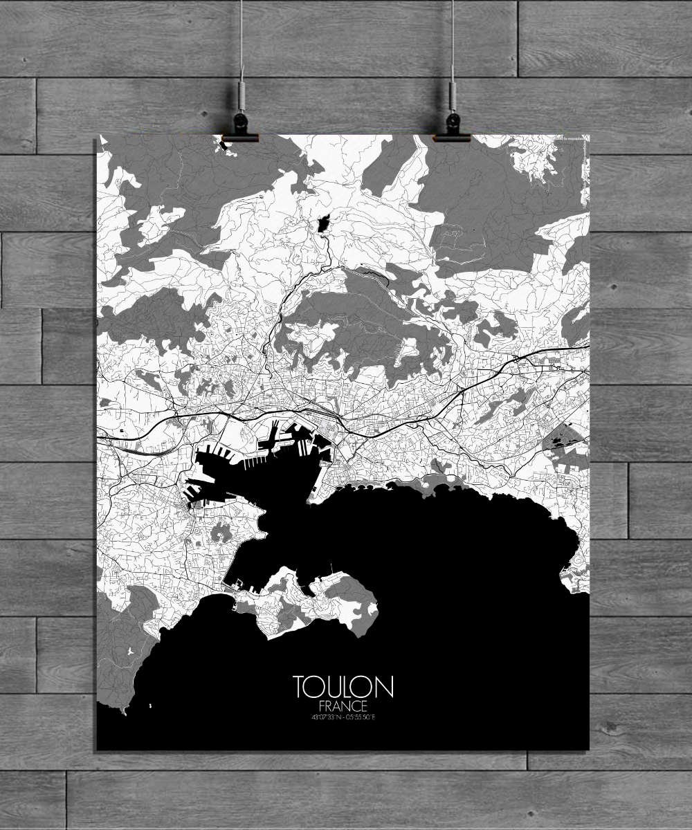
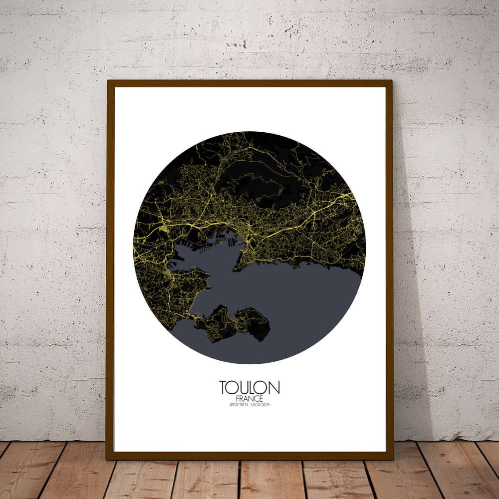
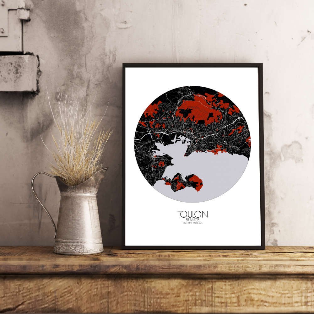
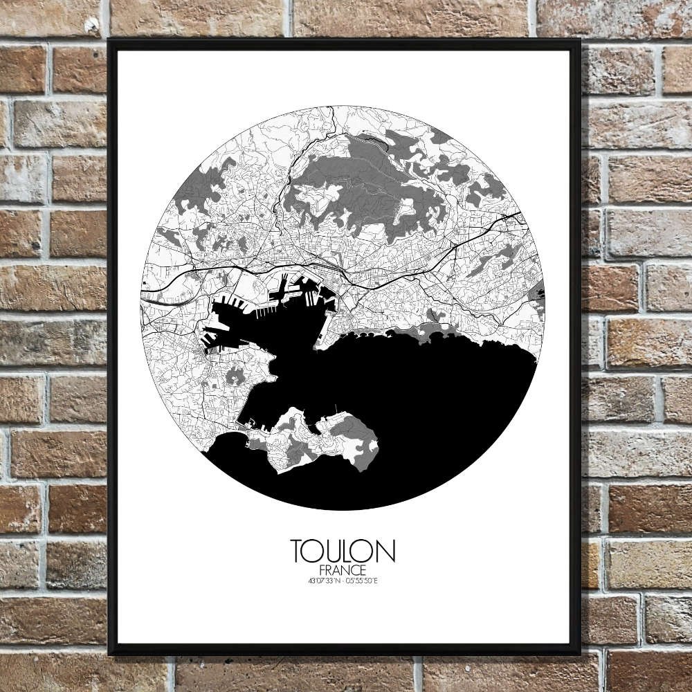
Poster City map of Toulon, France: Whether you’re drawn to the hills, the harbor, or the charming streets, this map of Toulon offers a timeless view of a city where nature’s beauty and the pulse of history meet.
The map of Toulon captures the heart of this coastal city, where history and nature intertwine to create a striking landscape. Situated in a deep, sheltered bay along the Mediterranean, Toulon is framed by steep hills that rise sharply behind the city, including the famous Mont Faron. From this vantage point, the city sprawls out, hugging the shore with its bustling port, which has long been a crucial naval hub for France. Looking closer, the map highlights the green spaces that offer a breath of fresh air. The lush gardens of the Jardin Alexandre 1er, nestled near the city center, provide a peaceful retreat, while the expansive Mont Faron Natural Park, with its rich flora and fauna, stretches into the hills above, offering stunning views of the bay below. If you take the map’s winding streets through the Old Town, you’ll find yourself in quiet, sun-drenched squares, where the past lingers in the air. The city’s naval history is impossible to miss, with landmarks like the historic Toulon Naval Base, which has been a key military site for centuries. Also worth noting are the impressive forts that dot the hillsides, such as Fort Saint-Nicolas and Fort Balaguier, watching over the city like silent guardians. These architectural features, along with the sparkling waters of the Mediterranean, make Toulon a city where land, sea, and history converge.