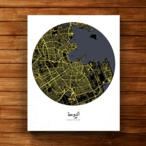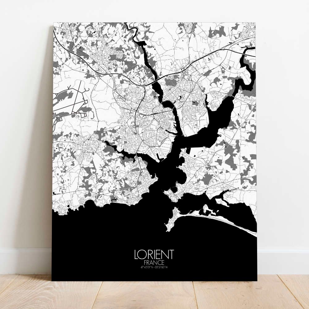
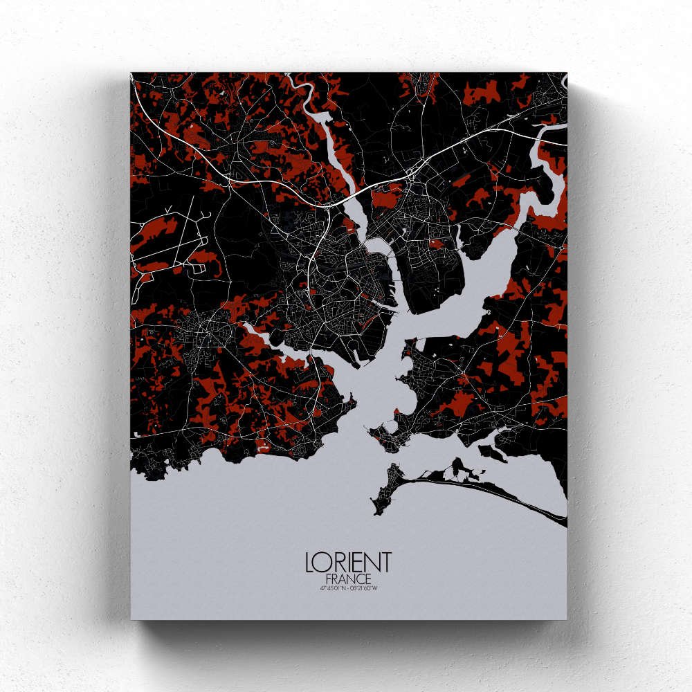
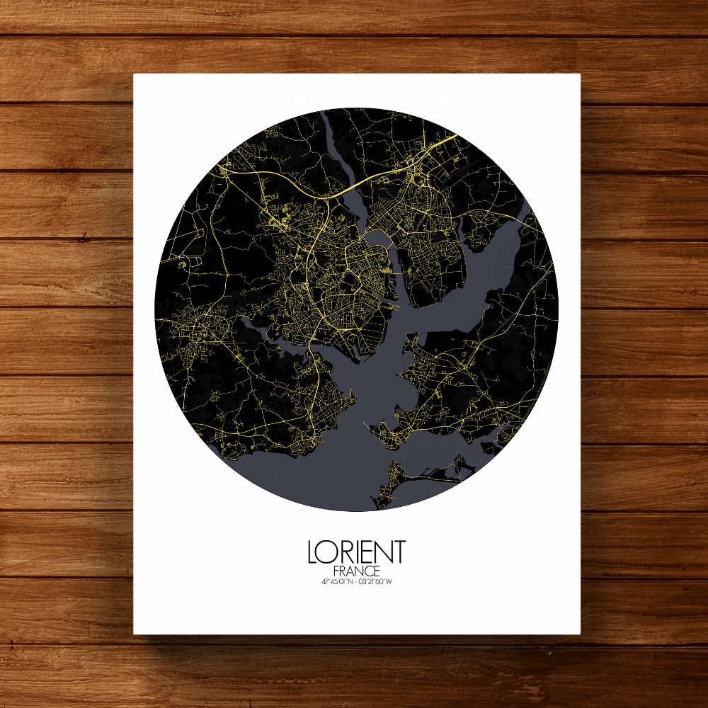
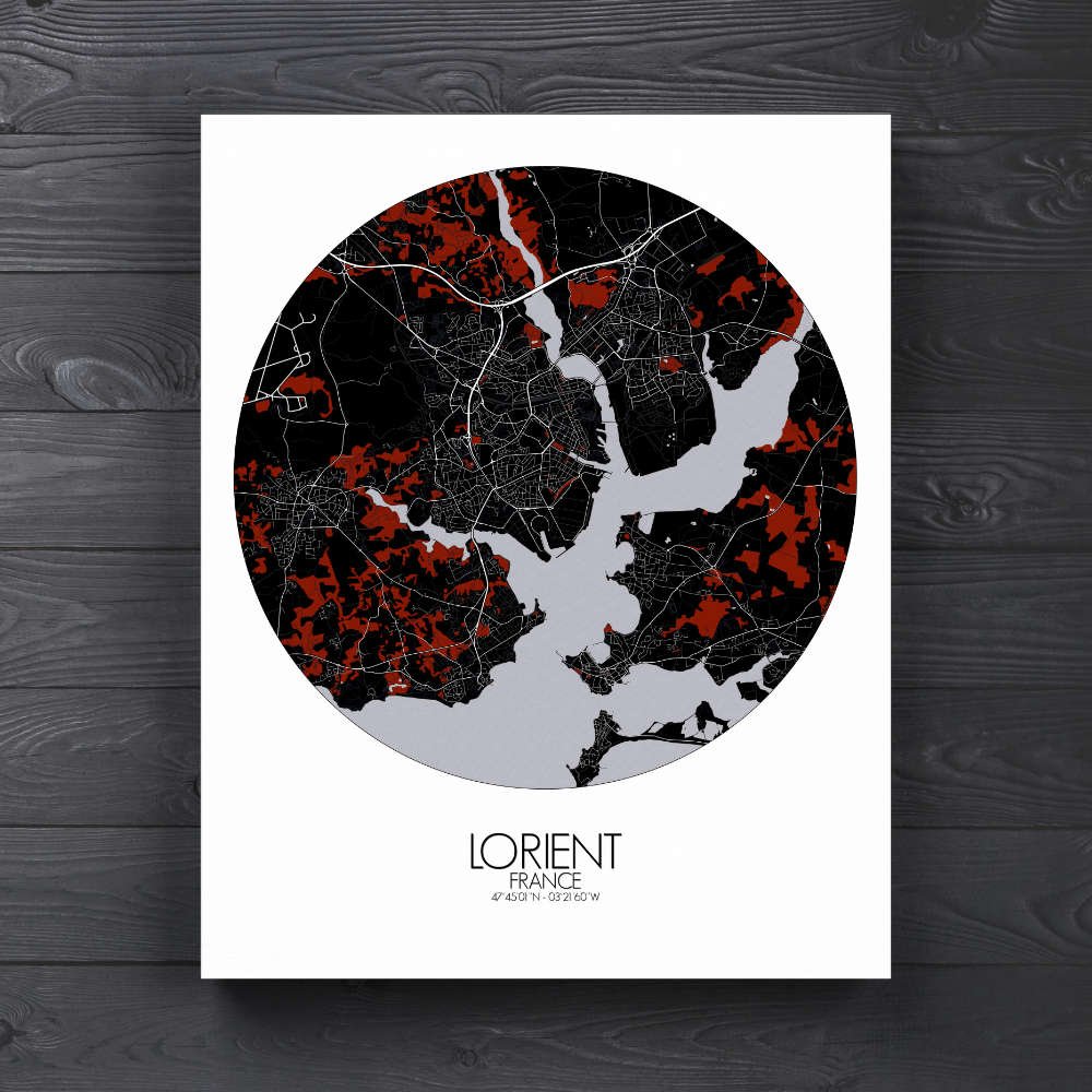
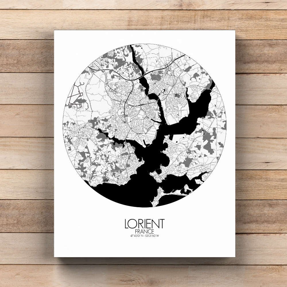
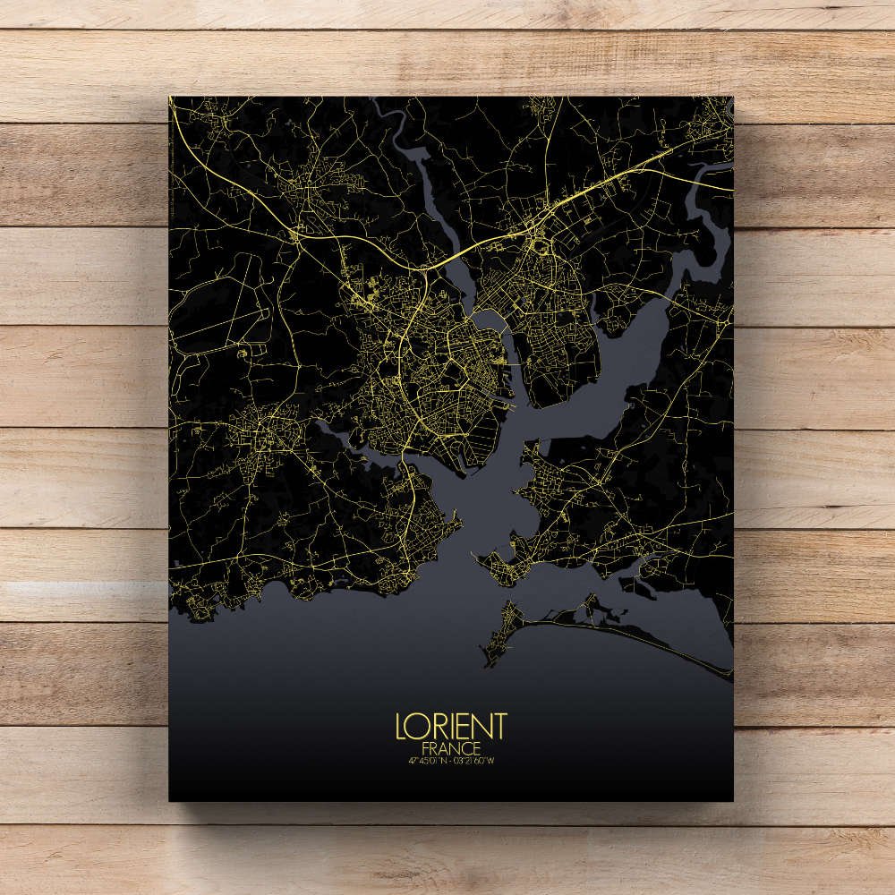
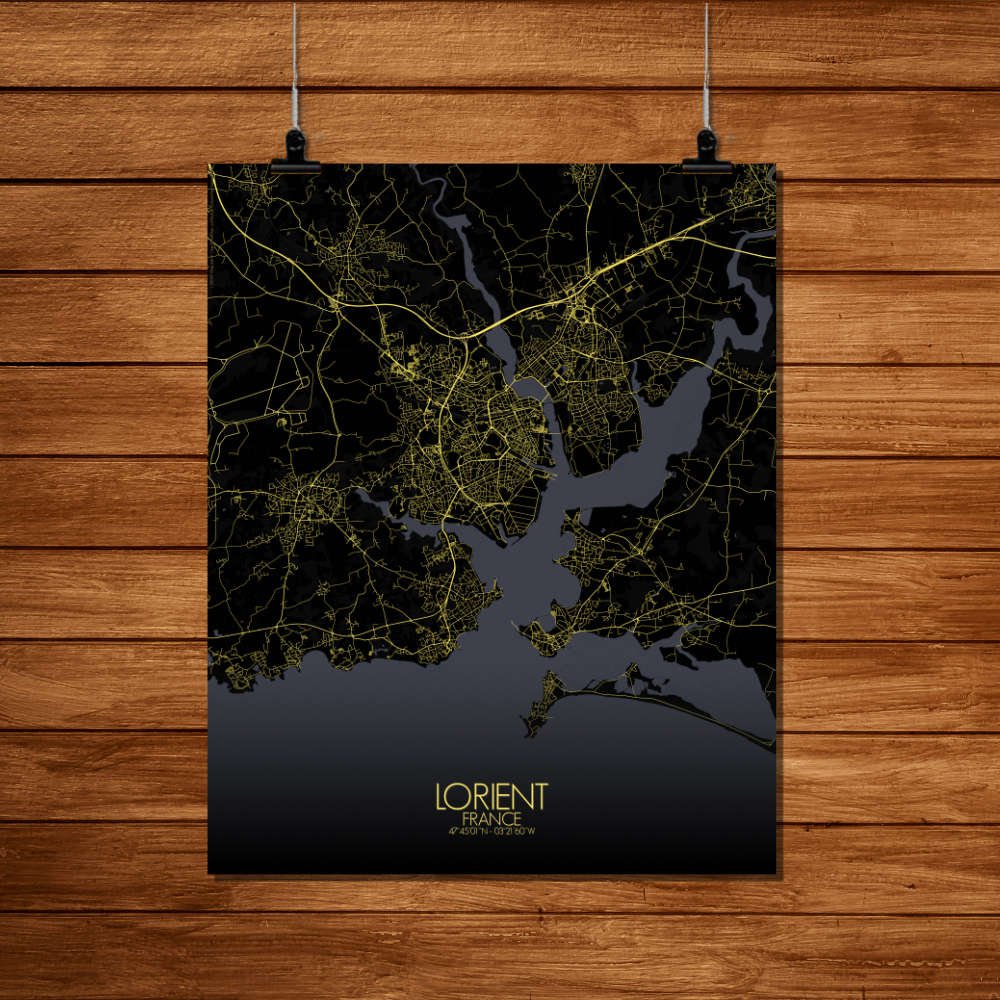
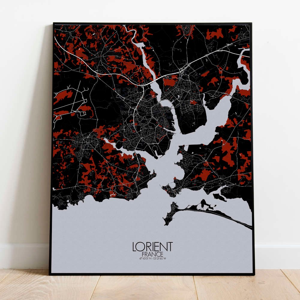
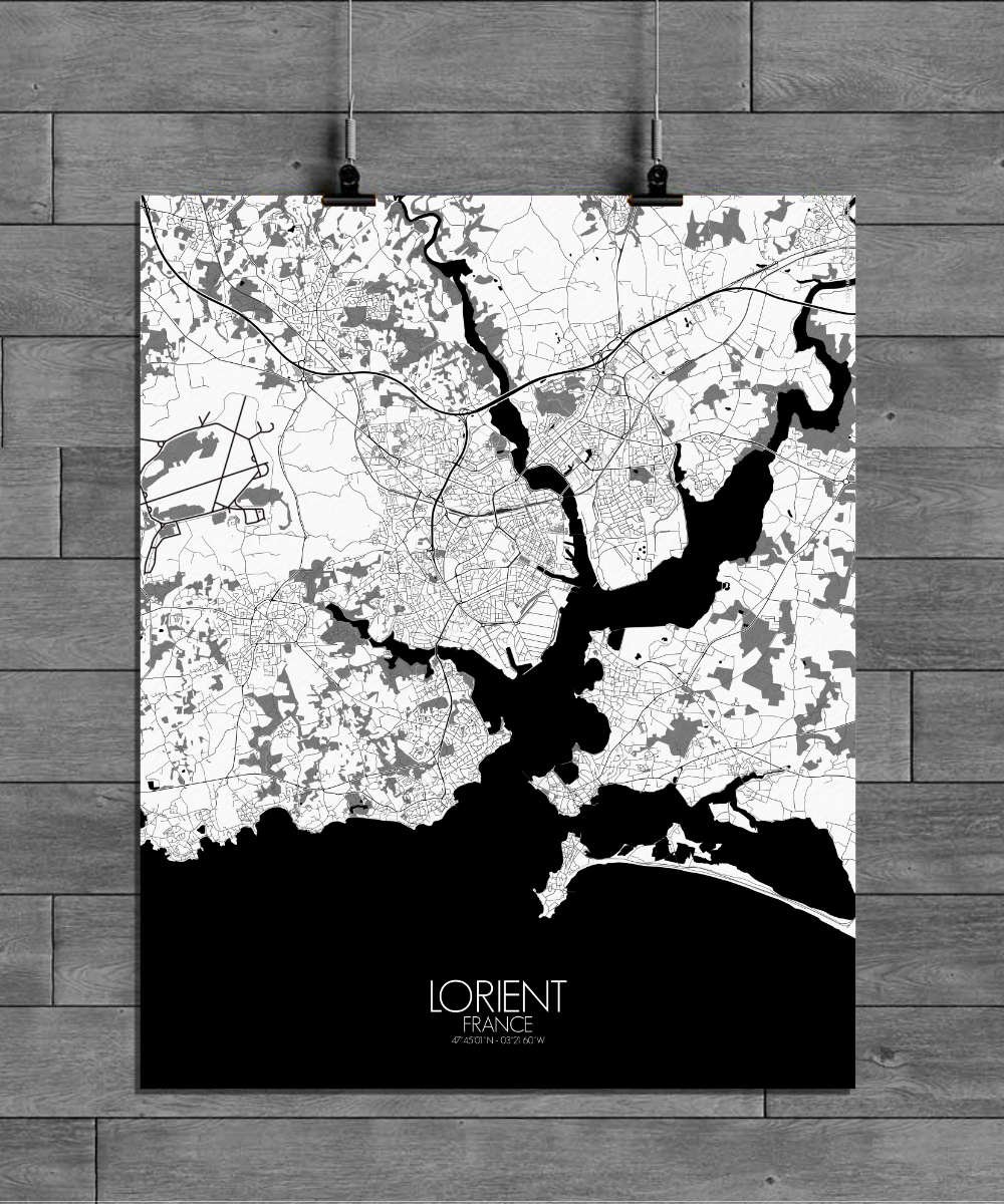
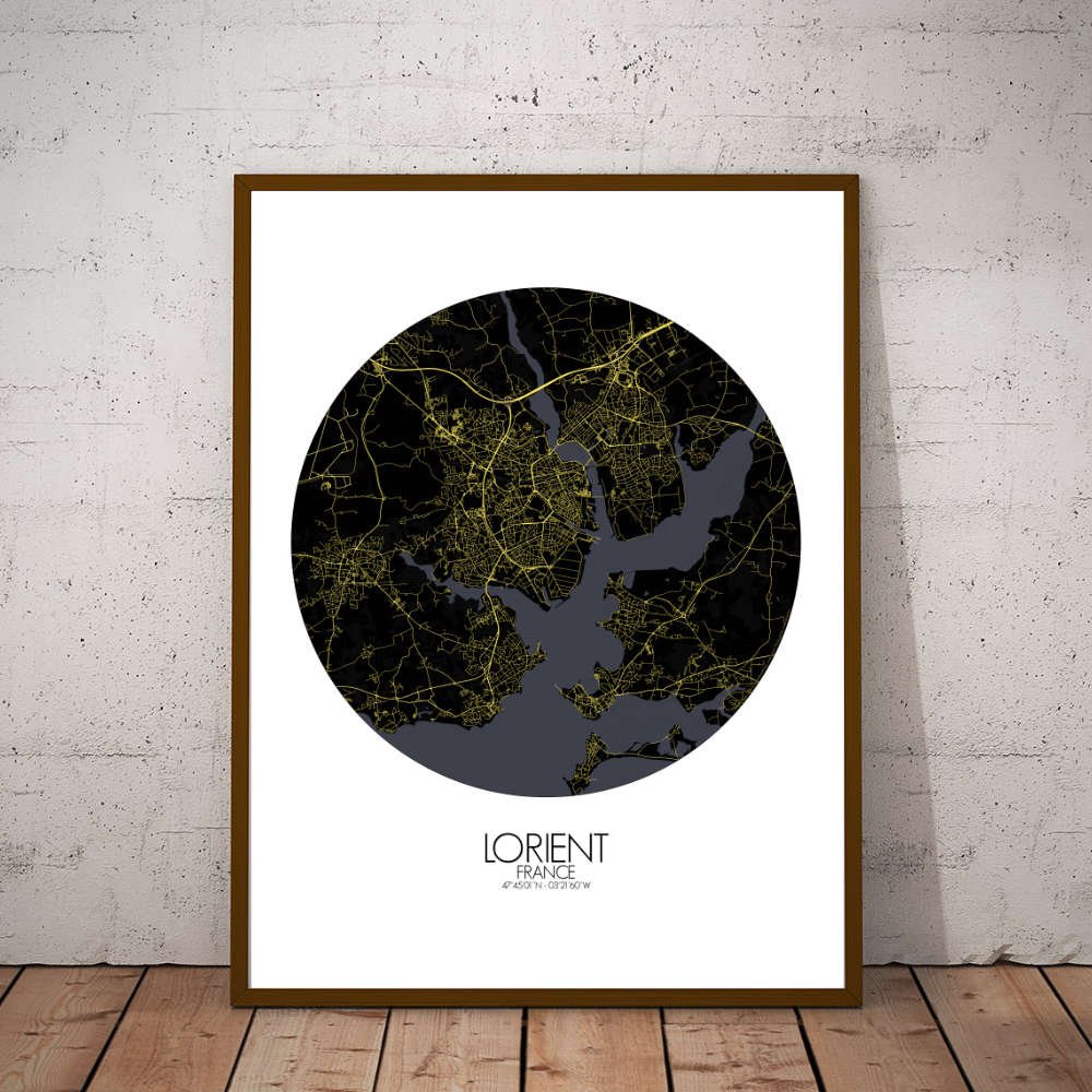
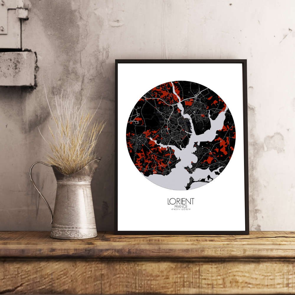
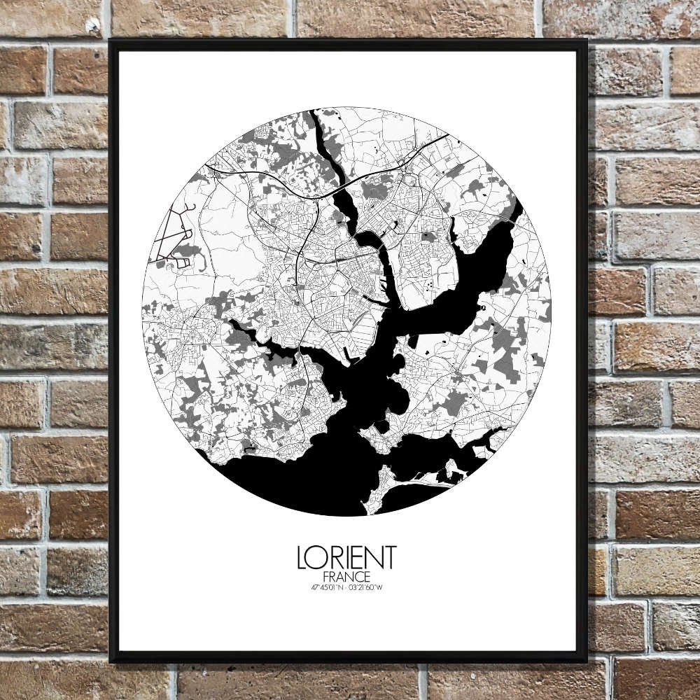
Poster City Map of Lorient, Brittany : nothing is better-looking and more elegant than a seaport as a wall map !
Lorient is a very scenic map ! Located at the south coast of Brittany, where the rivers Scorff and Blavet join and discharge into the Atlantic Ocean, both city and geography combine in a terrific map, one of our favourite here at mapospheres ! Historically, Lorient is deeply tied to its maritime past. Once the hub of the French East India Company, the city’s port is still one of its most defining landmarks. The map clearly marks the port area, a lively spot where you can almost hear the echoes of old ships setting sail for distant lands. Not far from the port, the Cité de la Voile Eric Tabarly stands as a modern tribute to Lorient’s sailing heritage, celebrating the legendary French sailor. The map’s layout reflects Lorient’s maritime roots, drawing attention to the water that has always been both a blessing and a challenge. Along with its nautical legacy, the map also reveals traces of Lorient’s wartime history. The imposing submarine pens that line the harbor serve as a reminder of the city’s role during World War II, their bold structure standing in contrast to the natural beauty around them. Yet, as you trace the city’s streets, you’ll find that Lorient is a place where history and modern life coexist, from bustling marketplaces to the quiet corners of its old town.