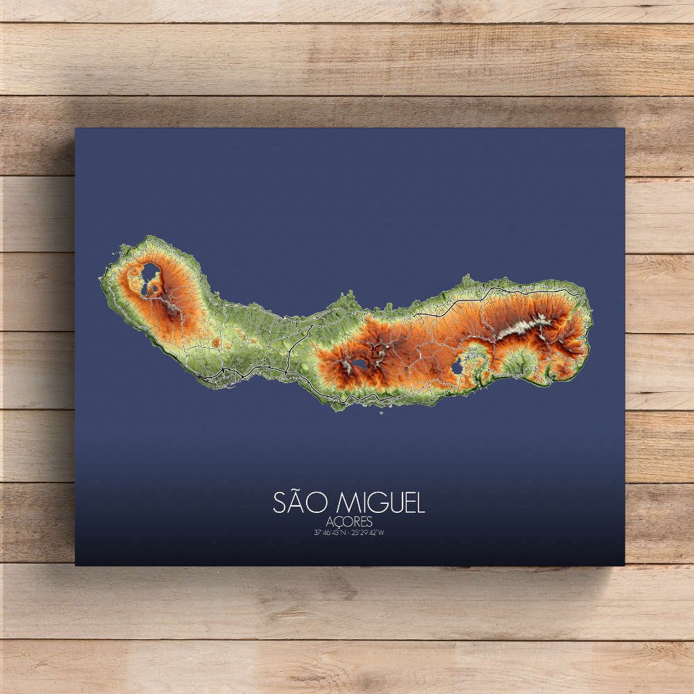

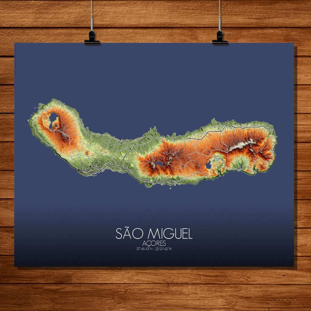
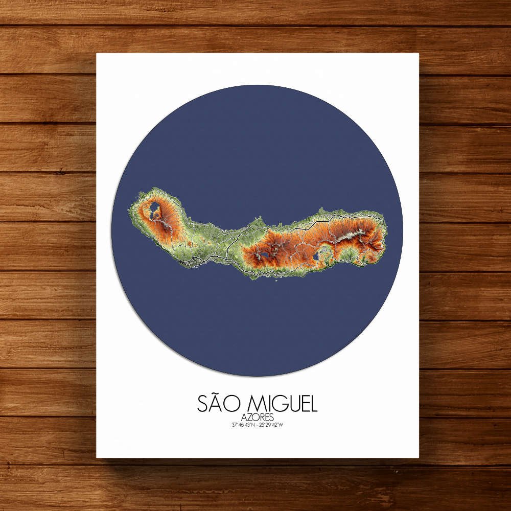

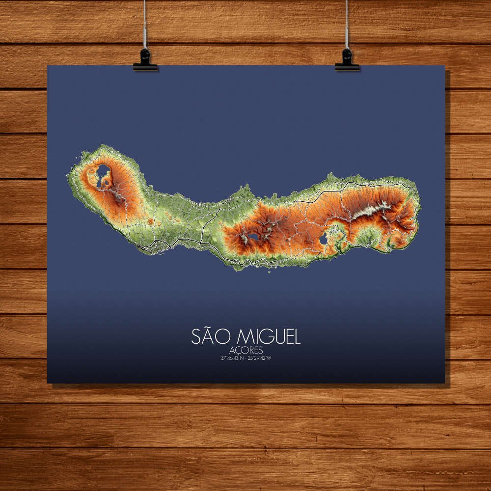
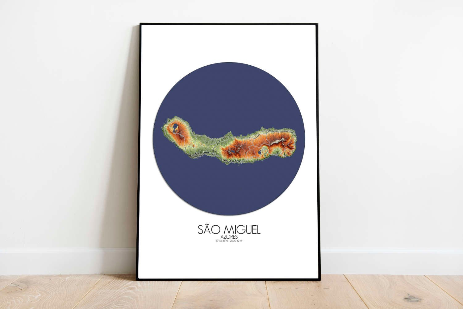
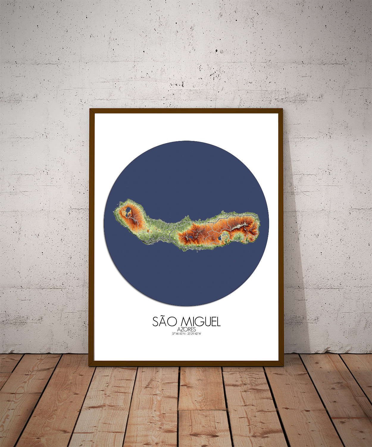
Poster City map of São Miguel, Azores: A piece of art that encapsulates the heart of the Azores—where ancient volcanic forces meet stunning green spaces, and the natural world is as alive with stories as it is with color.
Known as “The Green Island,” São Miguel is a land shaped by volcanic activity, with its rugged hills, deep craters, and lush landscapes telling a story of fire and water. The map captures the island’s dramatic terrain, where high peaks rise out of the emerald expanse of forests and pastures, and volcanic calderas—some now serene, others still steaming—dot the landscape like nature’s forgotten battlefields. At the heart of the island, you’ll find the famous Sete Cidades, a massive volcanic crater that holds two shimmering lakes, one green and one blue, as though the island herself had dipped her toes in the sea. The steep, terraced slopes surrounding the lakes tell of centuries of cultivation, while the sharp edges of the crater walls remind visitors of São Miguel’s fiery past. From the central volcanic mountains to the coastal cliffs that drop straight into the Atlantic, this map highlights an island defined by contrast: wild, untamed nature on one side, peaceful rural life on the other. Hot springs, like those found in Furnas, bubble up from beneath the earth’s surface, creating a mix of geothermal energy and lush vegetation that give this island its unique charm. It’s a place where the ground literally steams with life, and the terrain constantly shifts beneath your feet. The map’s contours tell not only the tale of the island’s geography, but also of the people who’ve called it home for centuries—navigating its volcanic challenges and finding beauty in its ever-changing landscape.