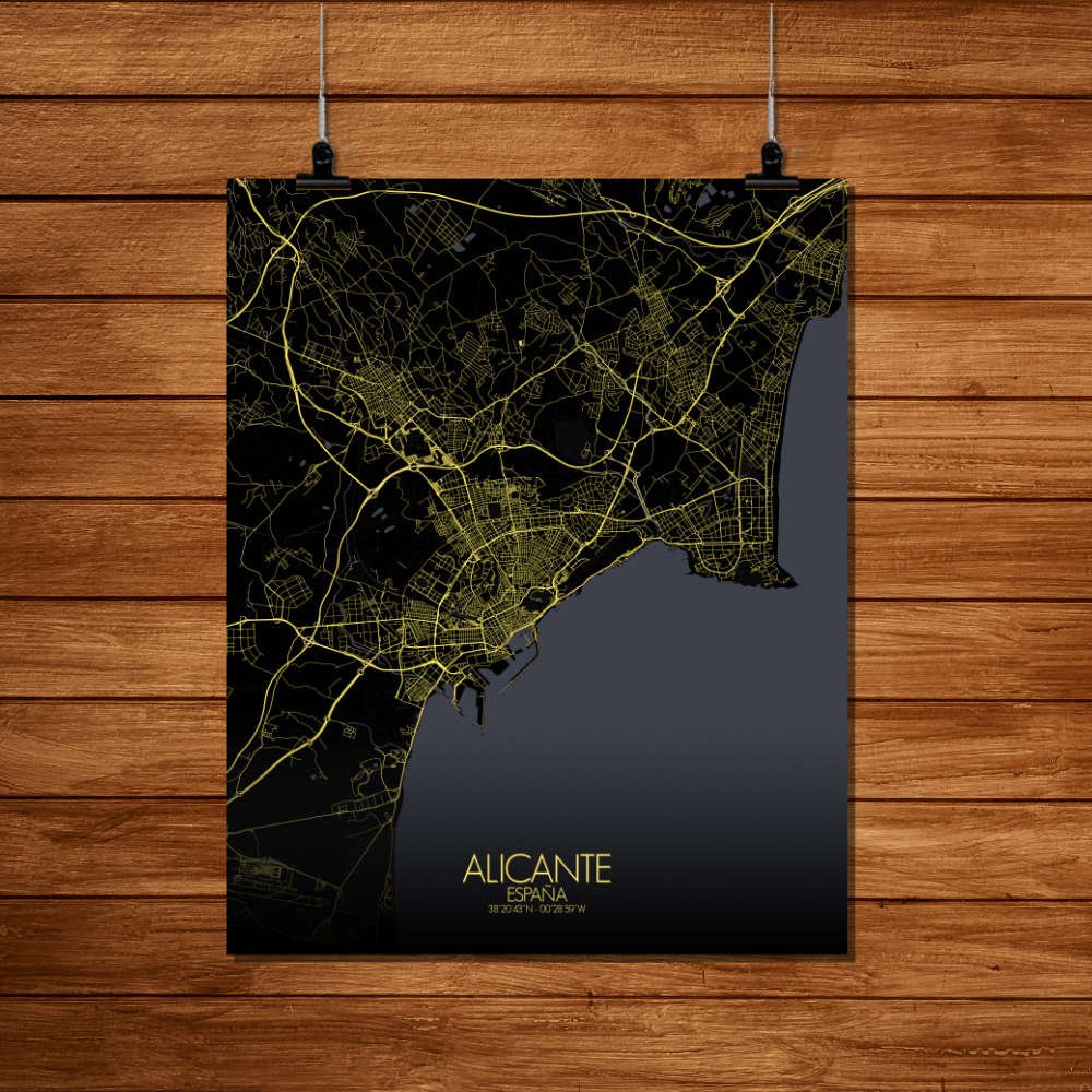
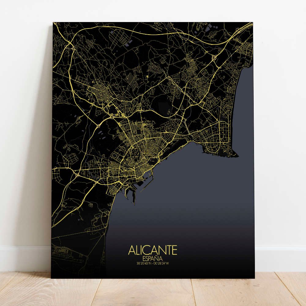
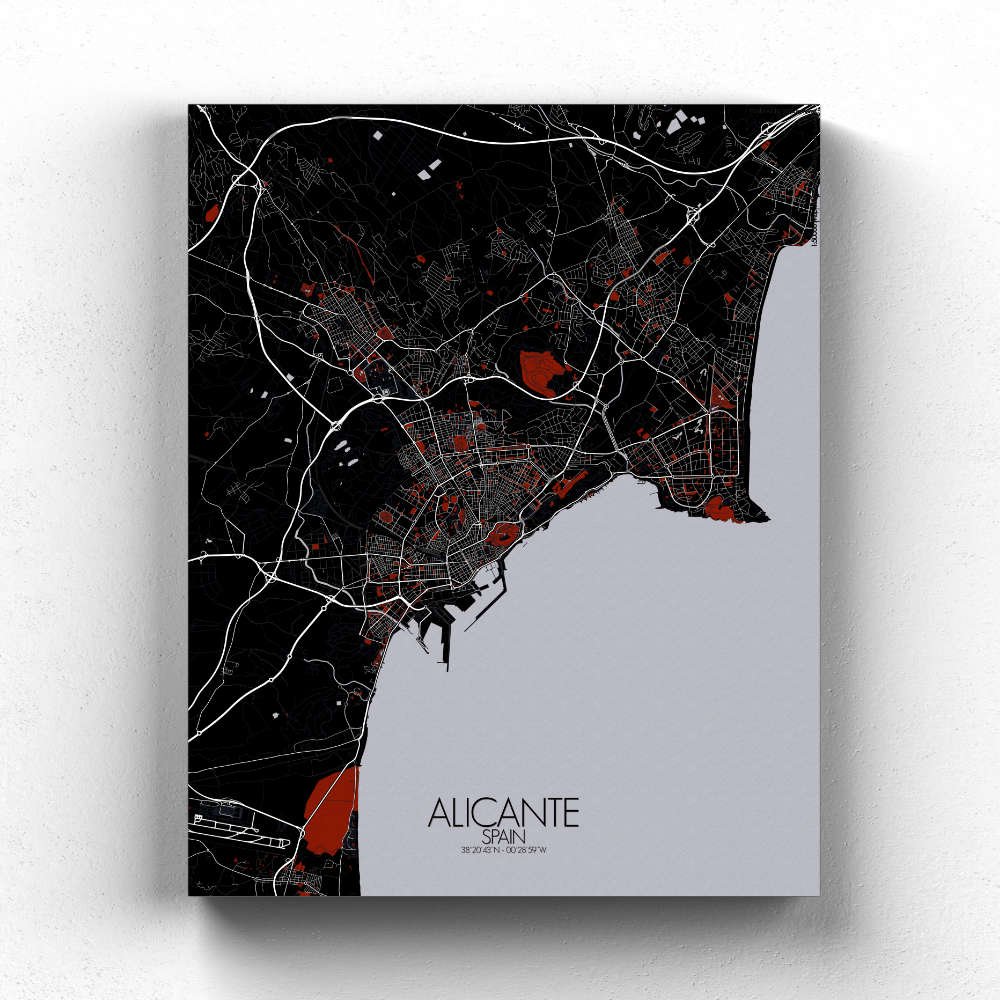
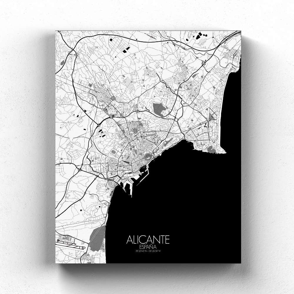
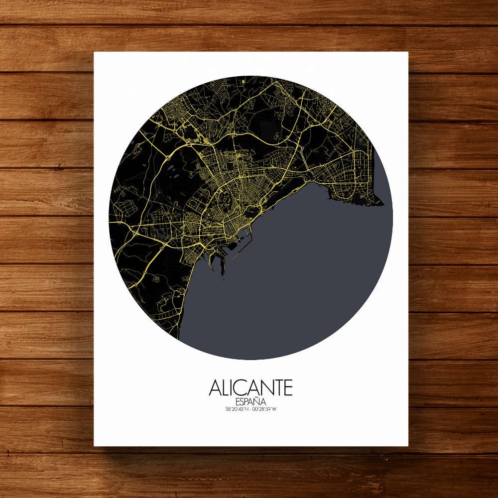
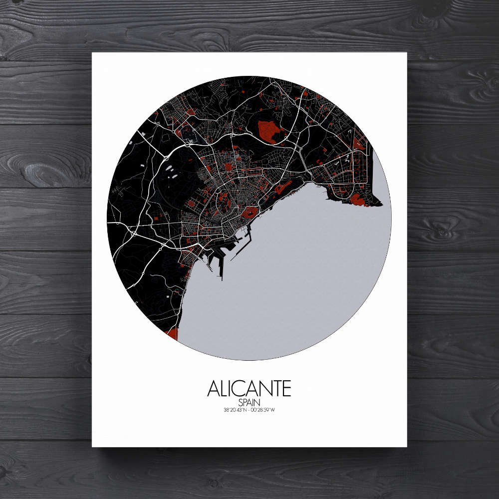
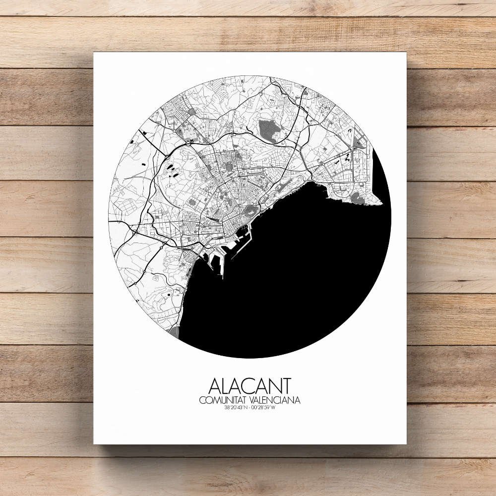
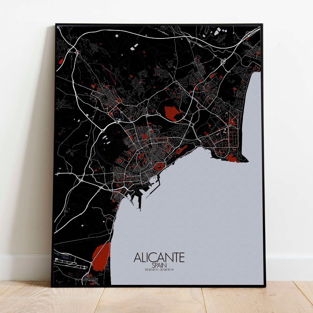
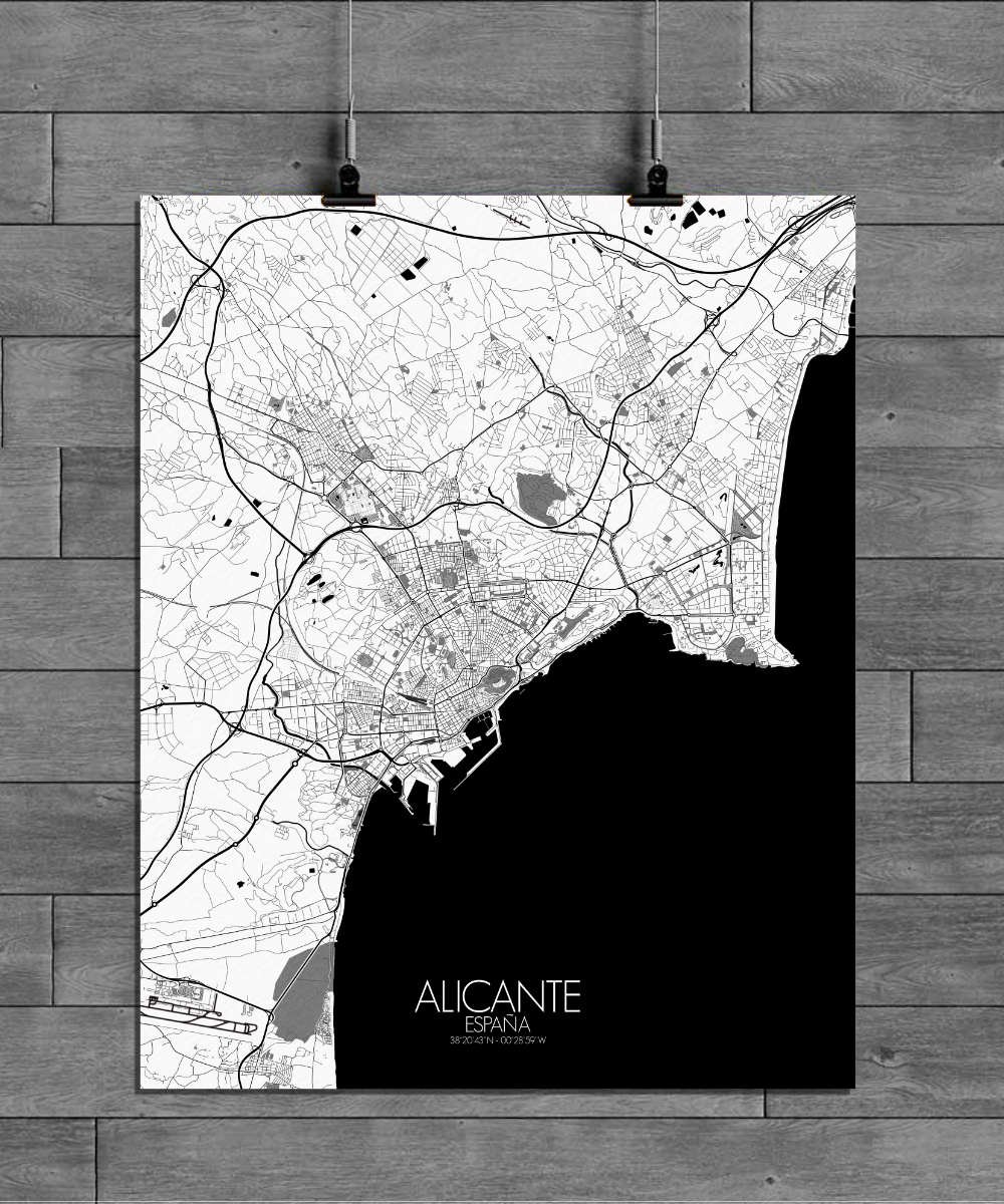
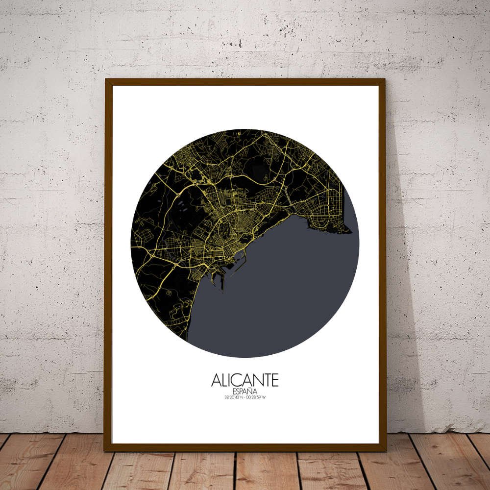
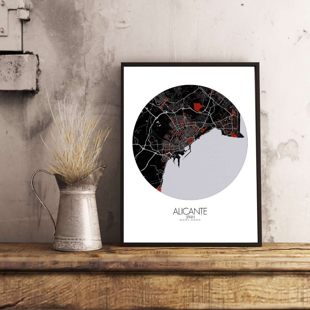
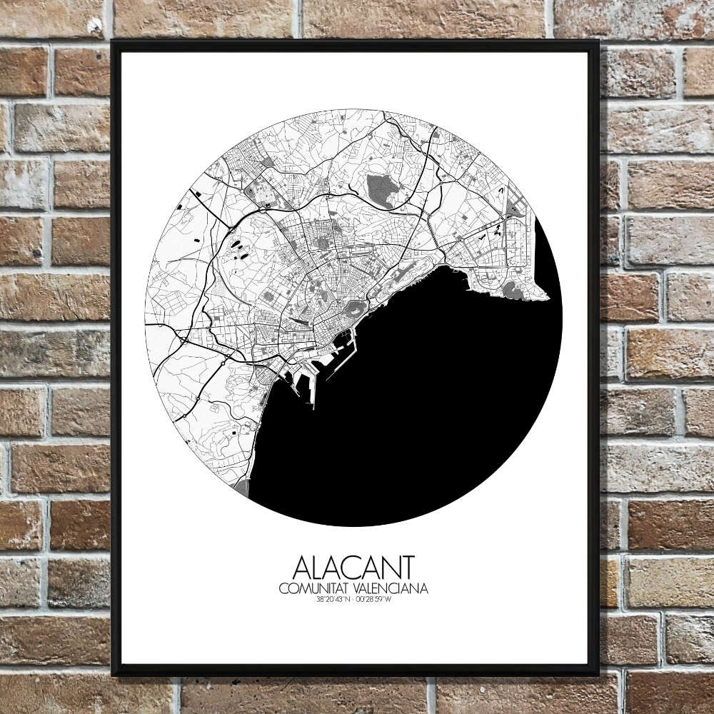
Poster City map of Alicante, Spain: Perfect for any wall, it’s a reminder of a city that has always thrived at the crossroads of culture, sea, and sun.
Situated between the Mediterranean Sea and the jagged peaks of the Sierra de San Julián, Alicante’s terrain is a fascinating blend of sandy beaches, rocky hills, and gently sloping valleys. The map captures the sweeping curves of the coastline, where the iconic Postiguet Beach meets the turquoise waters, and the land rises dramatically toward the imposing Castle of Santa Bárbara, perched high above the city like a silent guardian of the past. Greenspaces are scattered throughout the city, providing peaceful escapes from the vibrant streets. The lush Parque de Canalejas, with its wide avenues and shade-filled groves, is a perfect example of how nature and urban life co-exist in Alicante. The map also highlights the area around the Explanada de España, a beautiful palm-lined promenade that leads you from the bustling port to the heart of the city. This map is more than just a geographical layout; it’s a snapshot of Alicante’s long history, from its early Roman roots to its more recent role as a modern Mediterranean hub. Whether you’re drawn to the charming old town, with its narrow alleys and colorful buildings, or the lively waterfront, this map invites you to explore the city from a fresh perspective.