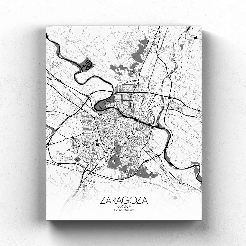
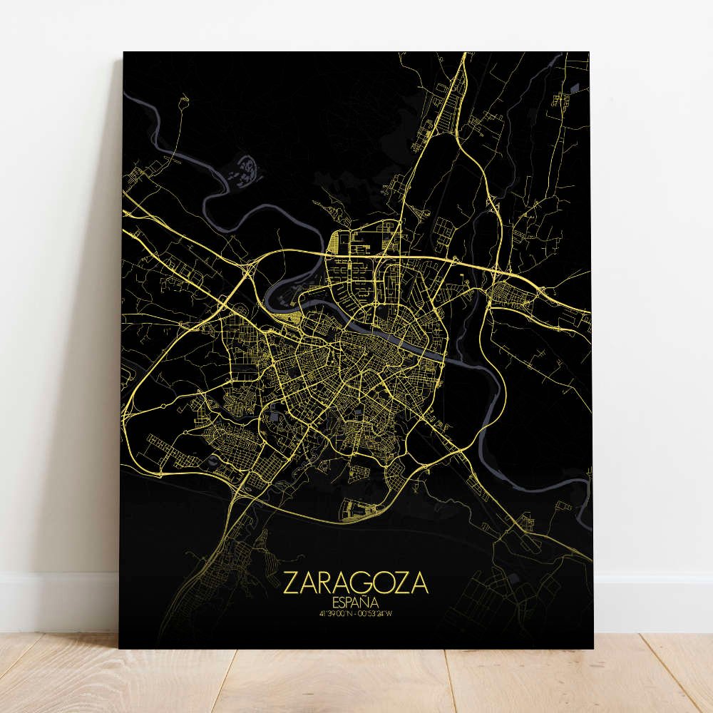
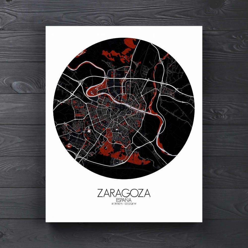
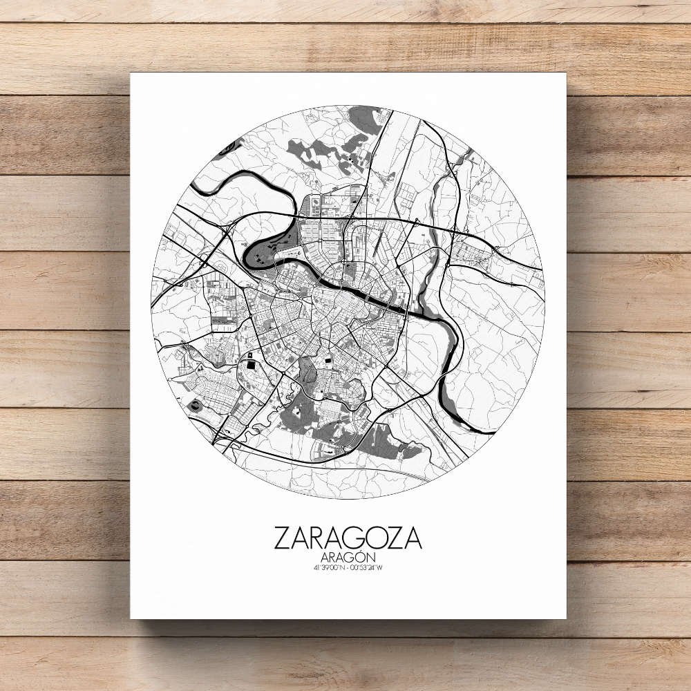
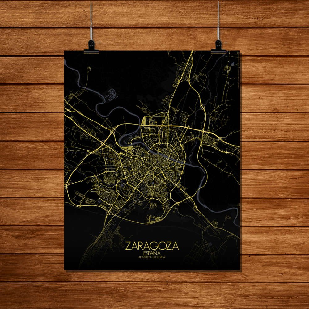
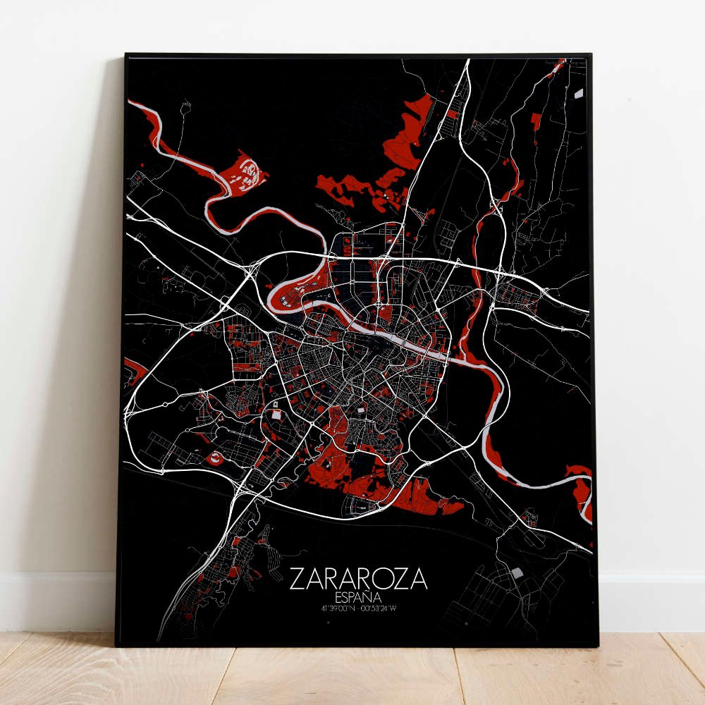
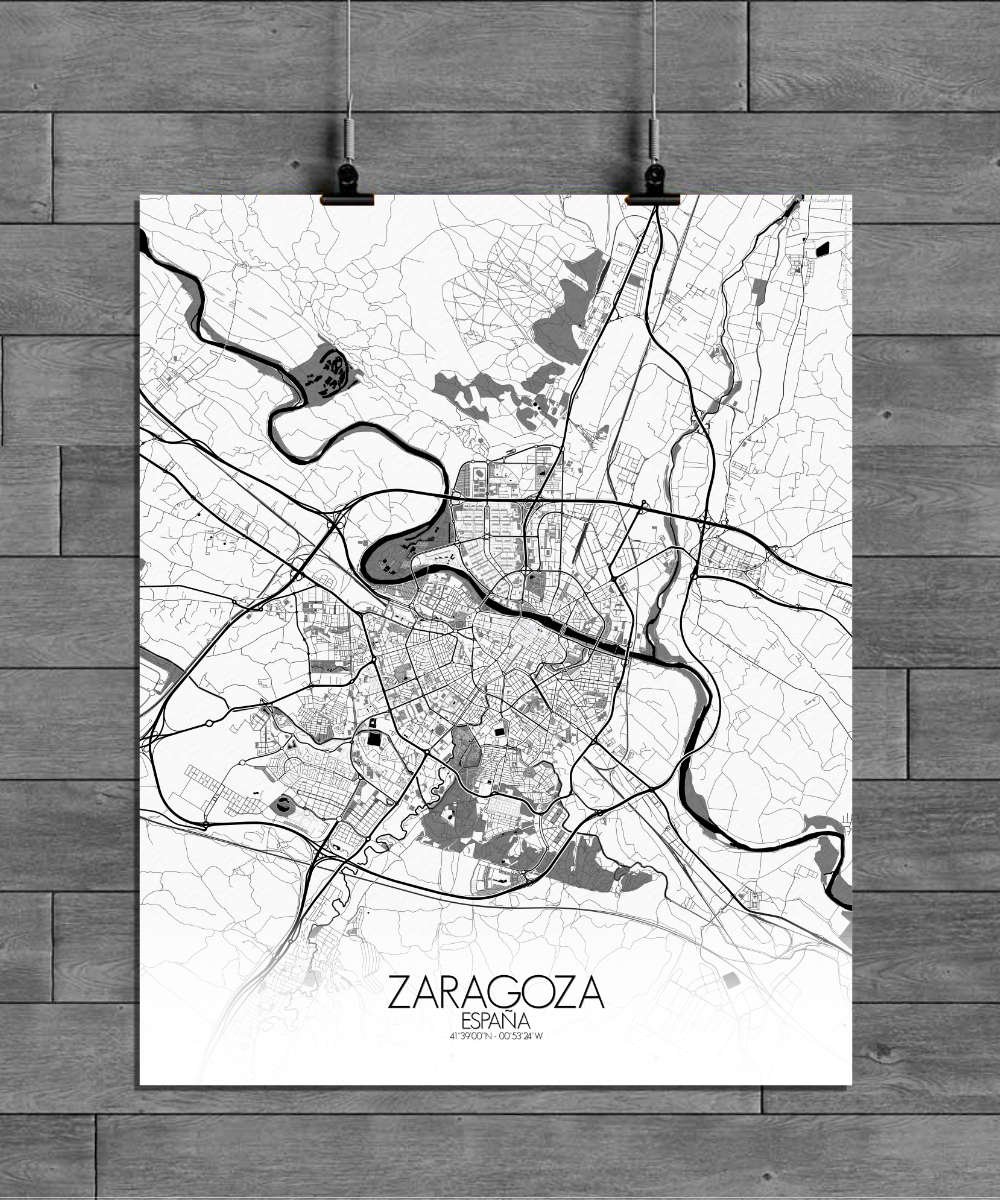
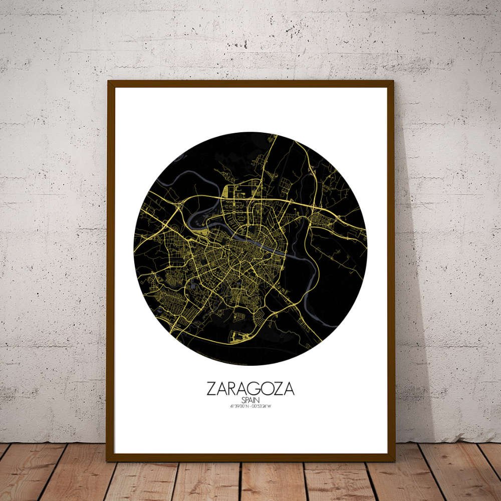
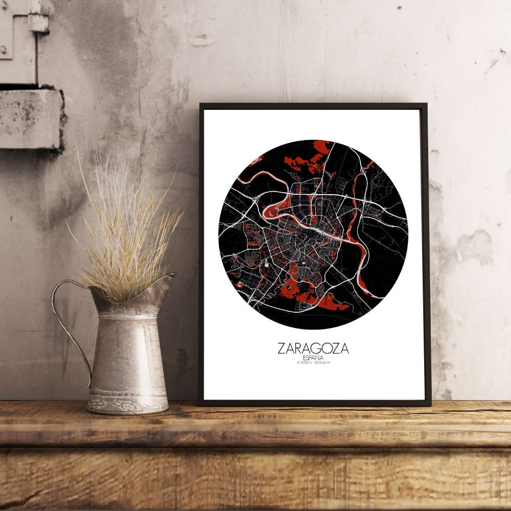
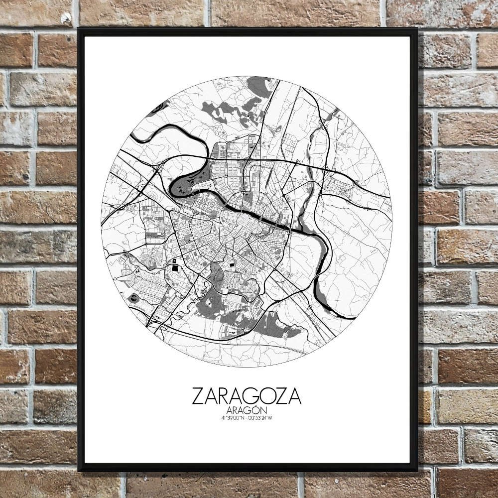
Poster City map of Zaragoza, Spain: More than just a geographic representation — it’s a journey through time, capturing the harmonious blend of nature and history that makes the city so unique.
Along the banks of the mighty Ebro River, the map showcases Zaragoza’s unique positioning, where the gentle flow of the river weaves through the city, connecting its past with its vibrant present. The Ebro’s winding path creates a natural division in the city, with the older, historic districts on one side and the modern, bustling areas on the other, making it a city of contrasts — much like the map itself. As you trace the city’s outline, you’ll notice the smooth contours of the surrounding terrain, from the river’s floodplains to the slightly rolling hills that rise to the south, creating a subtle but noticeable relief. To the east, the fertile plains of the Ebro Valley stretch out, while the distant mountains add a dramatic backdrop to the city’s skyline. The green spaces, like the expansive Parque Grande José Antonio Labordeta, stand out as peaceful oases amidst the urban fabric, offering lush greenery where the locals go to relax, stroll, or even picnic under the shade of century-old trees. The grand Basilica del Pilar, with its towering spires, dominates the cityscape, overlooking the Ebro and providing a spiritual and architectural beacon for both pilgrims and tourists. Just a short distance away, the ancient Roman ruins of Caesaraugusta, including the impressive Roman Theater, remind us of the city’s long history — a tale that stretches back over two millennia. In the heart of the city, the Aljafería Palace, a stunning example of Moorish architecture, adds an exotic touch to the map with its intricate design and rich cultural heritage.