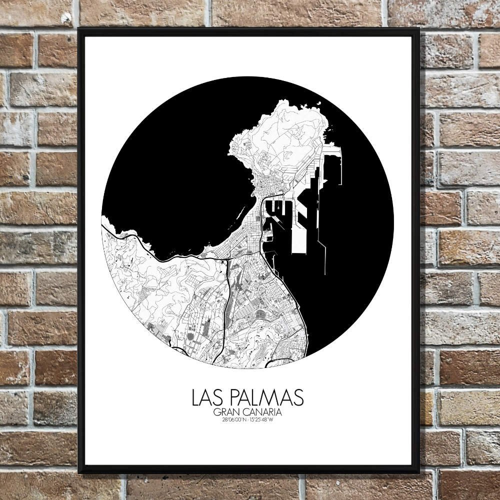
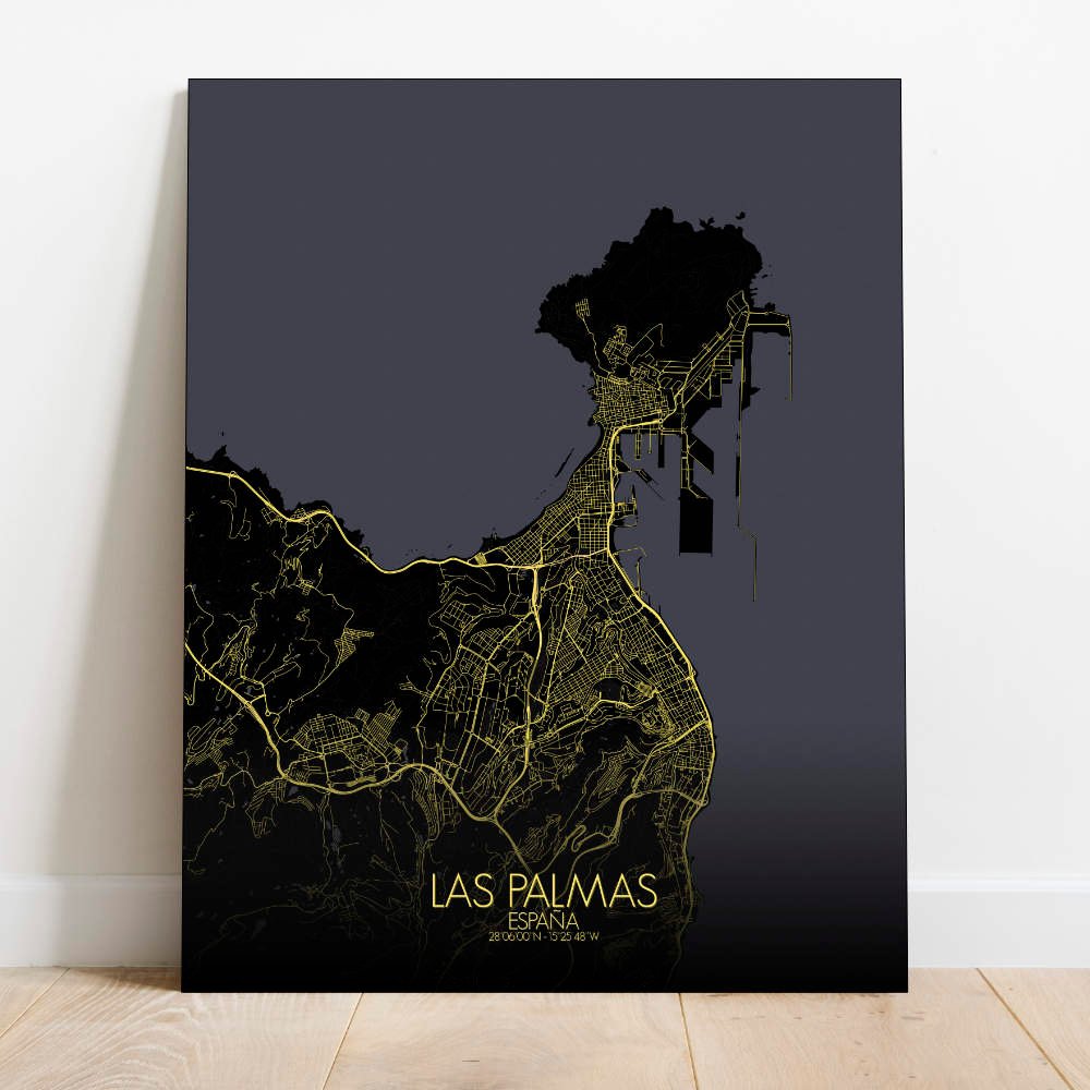

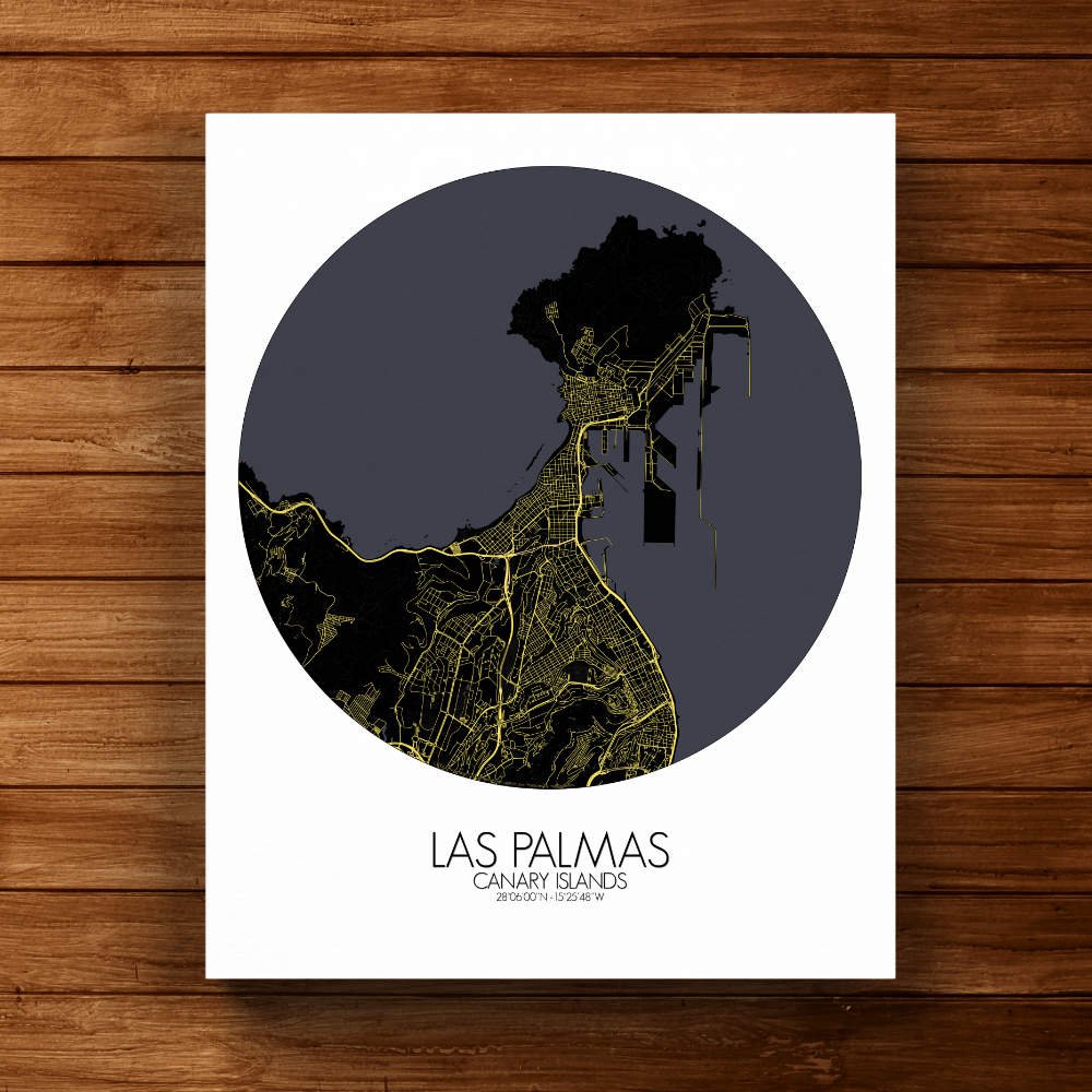


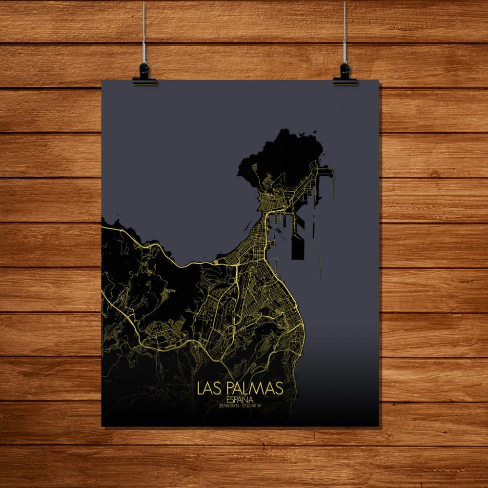
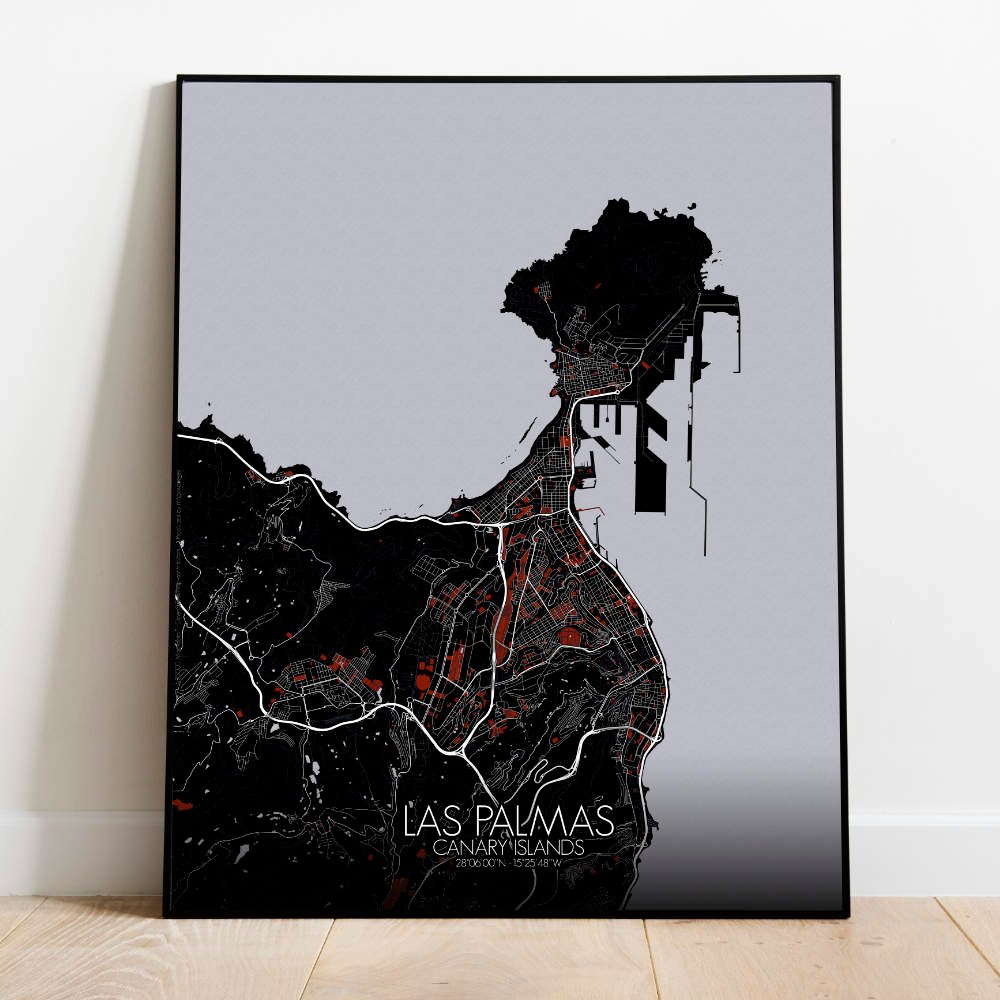
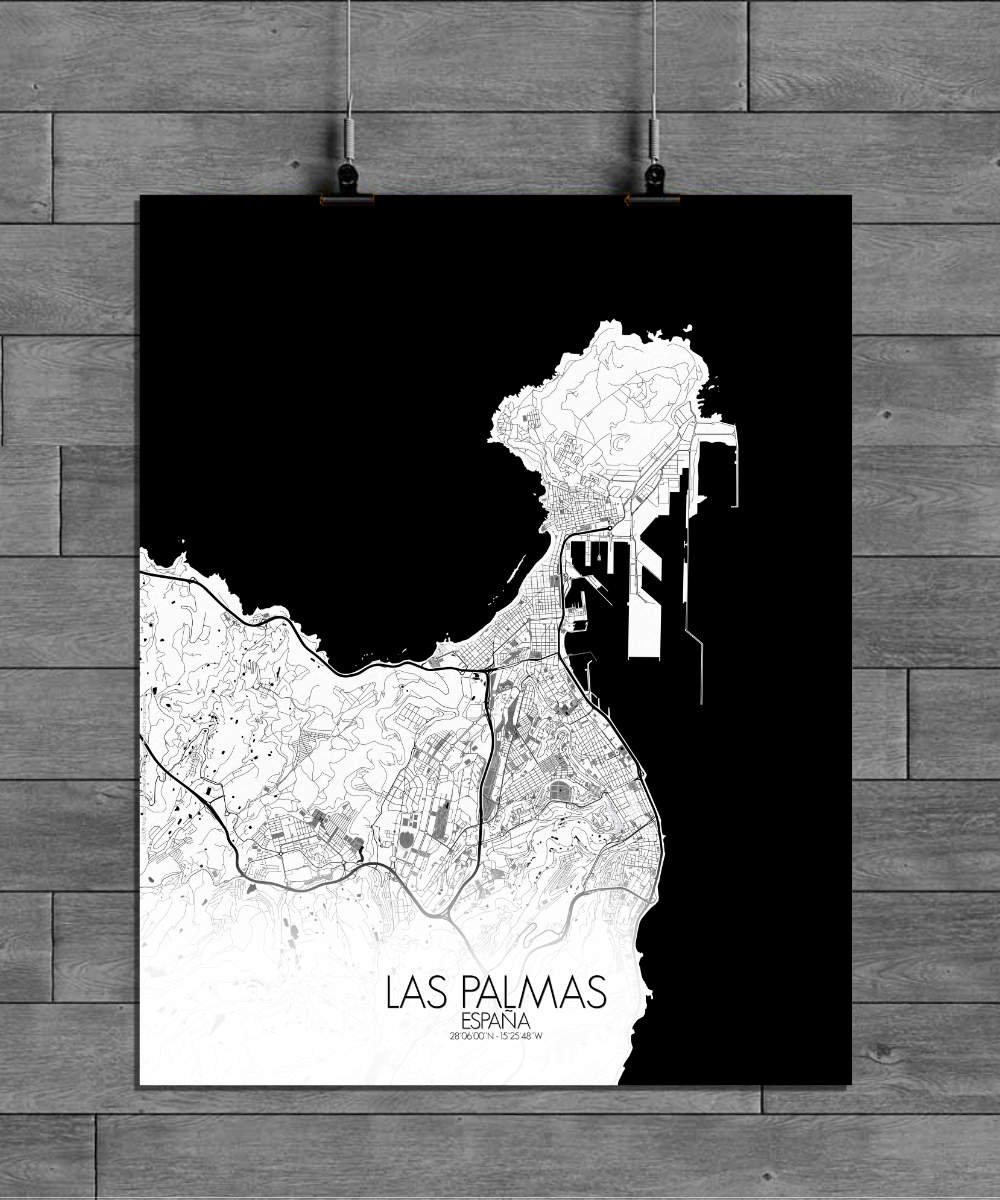
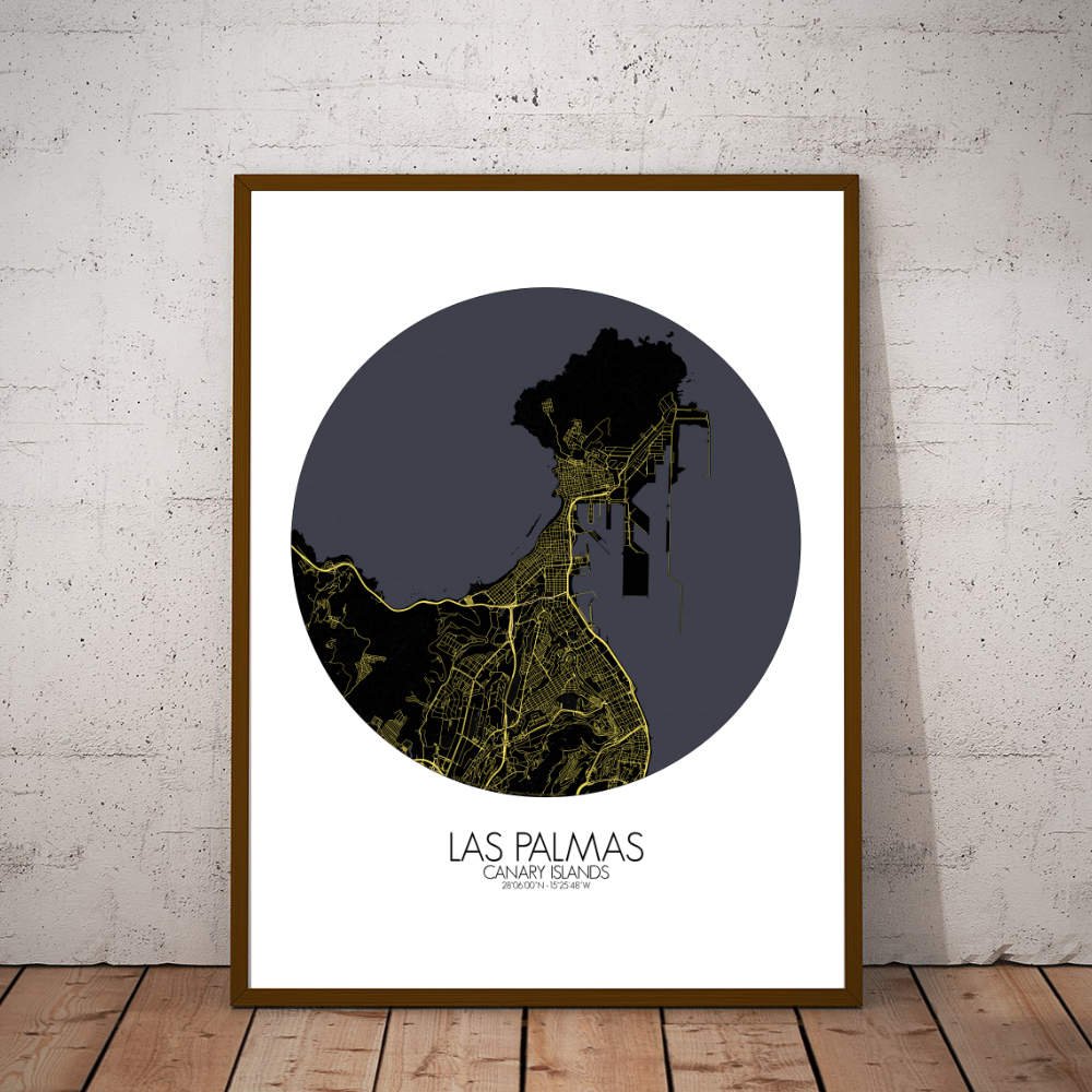

Poster City map of Las Palmas, Canary Island, Spain: a city of contrasts, a vibrant city life set against a backdrop of dramatic hills and blue seas.
The city is nestled between the rugged hills of the island’s interior and the sparkling blue waters of the Atlantic Ocean. At the heart of the map, you’ll find the iconic Las Palmas de Gran Canaria — a city that has grown from a small settlement founded by the Spanish in the 15th century into one of the most dynamic cities in the Canary Islands. The prominent volcanic peaks, such as the massive Bandama Caldera, rise from the land like ancient sentinels, while lush greenspaces like the Parque Doramas offer a refreshing escape within the urban sprawl. The green spaces, nestled in the city’s veins, help soften the map’s more dramatic features, providing a harmonious balance between city and nature. Not far from the city center, you can trace the outline of the famous Las Canteras beach — a golden stretch of sand lined with palm trees and a favorite of locals and tourists alike. The map also draws attention to the historic Old Town of Vegueta, where cobbled streets and colonial architecture tell the tales of explorers, merchants, and settlers. Key landmarks such as the impressive Cathedral of Santa Ana and the ancient Casa de Colón — where Christopher Columbus once stayed — add to the map’s sense of timelessness.