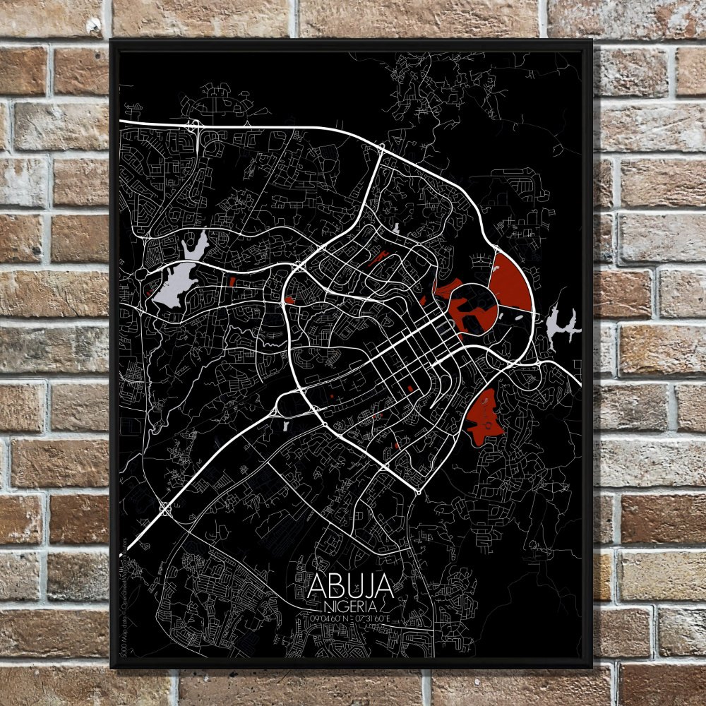
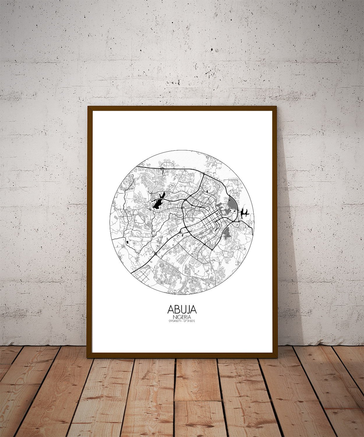
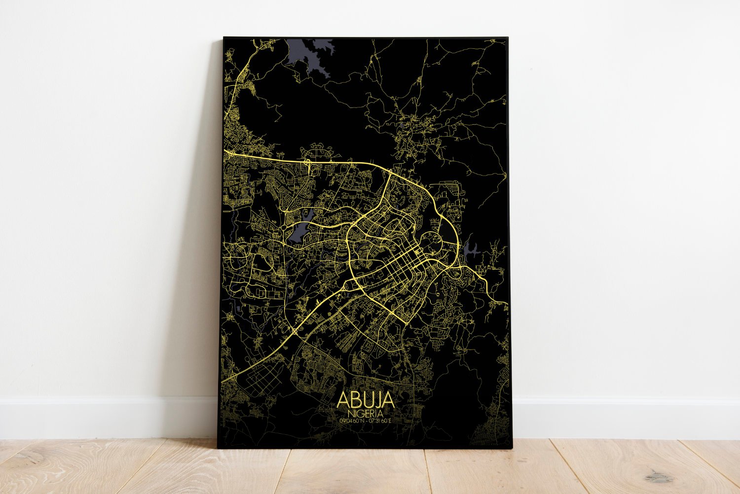
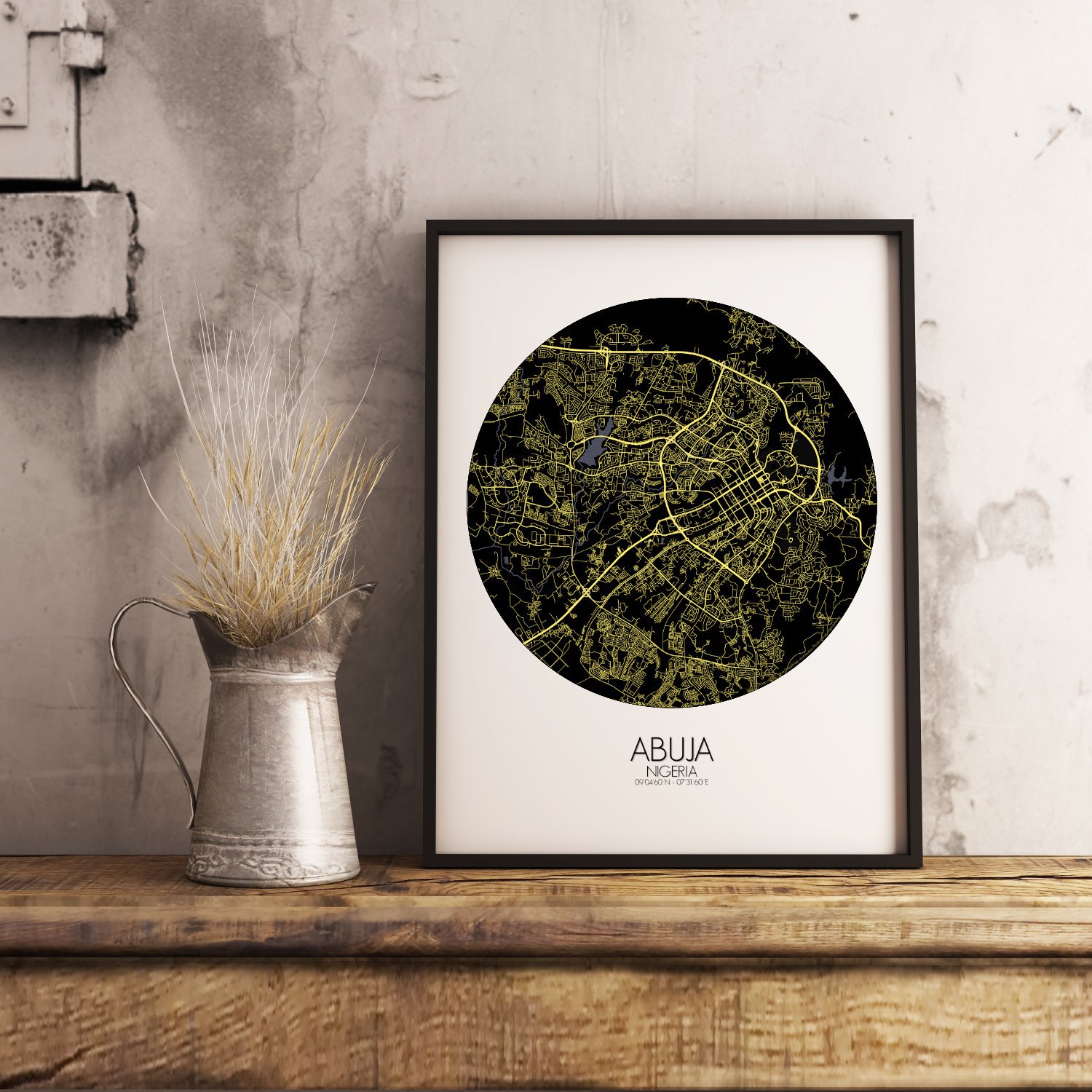
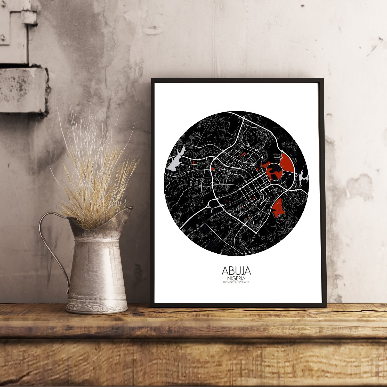
Poster City map of Abuja, Nigeria: This map invites not just navigation but reflection. With its topographic lines, it shows the rise and fall of land; with its layout, it hints at the rise of a nation still writing its own epic.
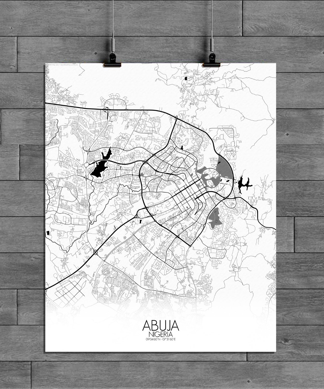
The map of Abuja is a graceful meeting of land and design, capturing a city carved thoughtfully into the middle of Nigeria, where hills rise like watchful elders and streets follow plans more deliberate than most. Born not from centuries of chaos but from the drawing board, Abuja is one of the rare cities in the world that began as an idea—and grew into a capital. This wall map reveals the terrain’s quiet strength: the solid mass of Aso Rock standing tall just east of the city’s heart, not merely a geological formation, but a silent witness to power and change. Surrounding it, the land undulates gently, dotted with greenspaces that are more than decoration—they are part of the city’s rhythm. From Millennium Park to the wide green stretches of the Three Arms Zone, nature and governance share more than a boundary line. Roads sweep with purpose here, tracing the curves of hills and the logic of planners, yet there is still room for mystery. The National Mosque and the National Christian Centre stand like bookends in stone and faith, their spires reaching skyward as if in quiet debate. Between them flows the lifeblood of a young city with an old soul—its paths, lakes, and neighborhoods all finding their place in a landscape that balances ambition and calm.