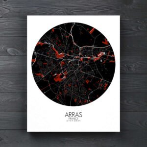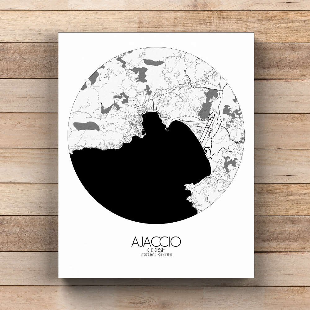
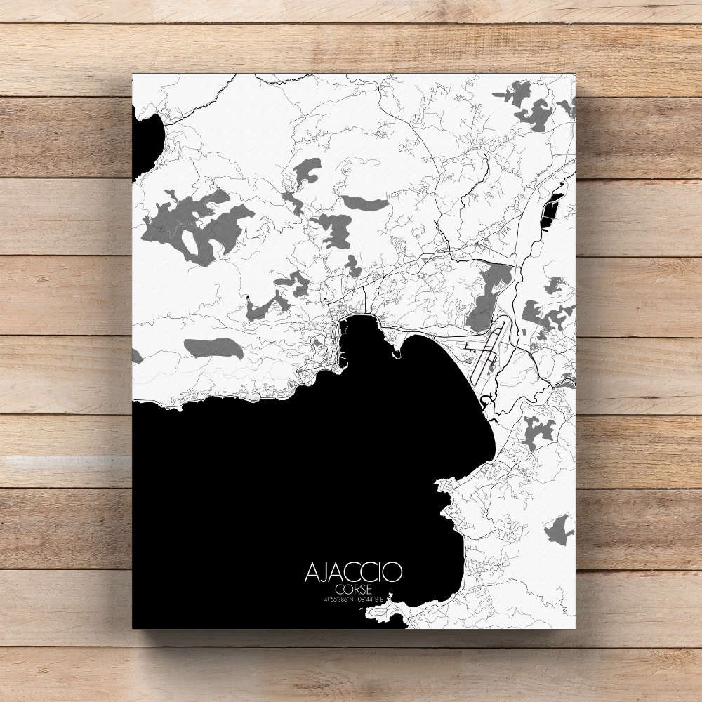
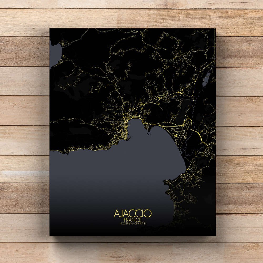
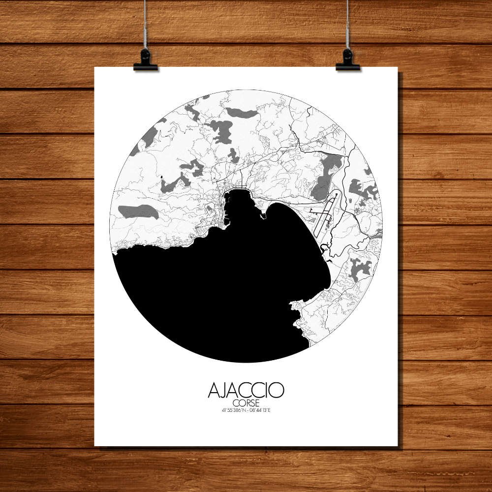
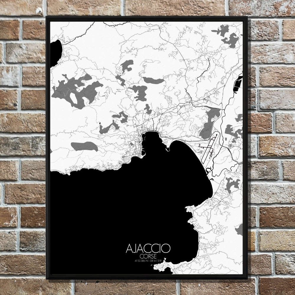
Poster City map of Ajaccio, France: Winding along the coastline, you can trace the paths of ancient roads that still hold stories of Corsica’s tumultuous past—where past battles and sea trade once shaped the land.
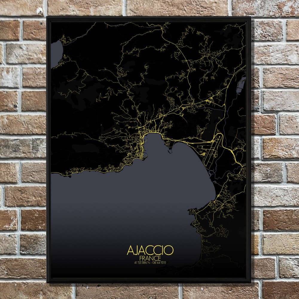
The City Map of Ajaccio, France, offers a charming perspective of this coastal gem, nestled on the rugged shores of Corsica. Its map highlights the city’s natural topography, from the gentle slopes that rise from the Mediterranean coast to the more imposing hills that cradle Ajaccio, including the distant peaks of the Monte Gozzi. The terrain is a beautiful mix of steep cliffs, lush valleys, and rolling hills, which are reflected in the contours of the map. The city itself lies at the foot of the Iles Sanguinaires, a group of rocky islands that stand guard over the horizon, offering a stark contrast to the urban layout. As you explore the map, you’ll notice the green spaces that make this city a serene escape. Parks like the Parc Berthélémy weave through the heart of Ajaccio, offering calm respite from the bustle. The city’s gardens, shaded by towering palm trees and flowering bougainvillea, offer a hint of Mediterranean tranquility. You’ll spot the Citadelle, that old fortress which still watches over the port, built in the 16th century when pirates were as common as tourists. Nearby, the Maison Bonaparte stands proudly, the birthplace of Napoleon Bonaparte, adding a touch of imperial history to the map. This connection to the great Corsican general adds layers of intrigue to the city, as Ajaccio was once a small town that became the cradle of an empire.