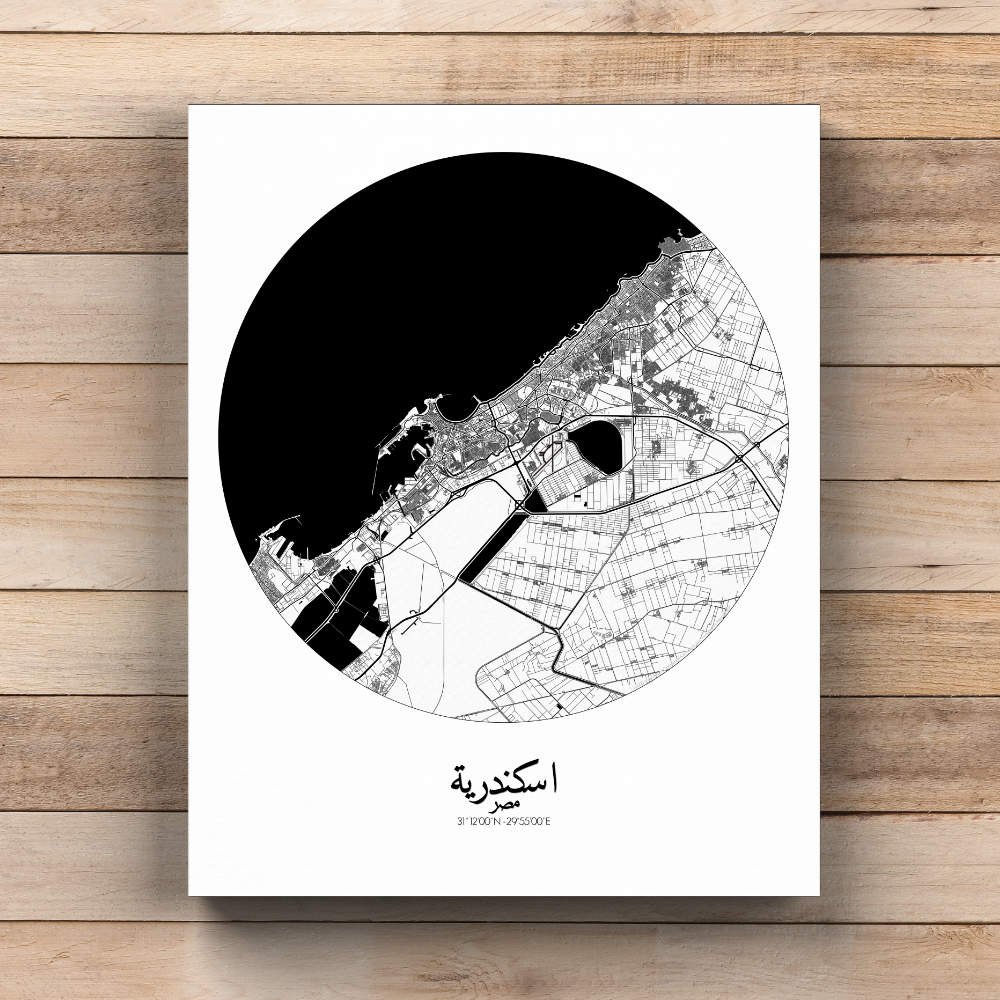

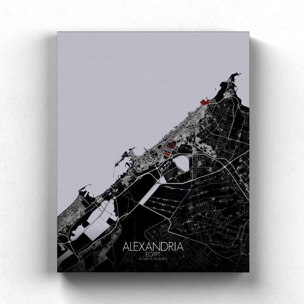
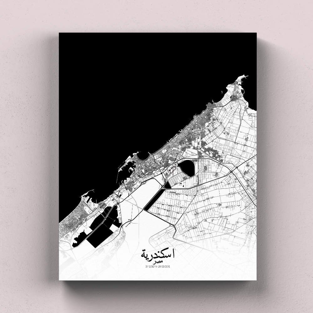
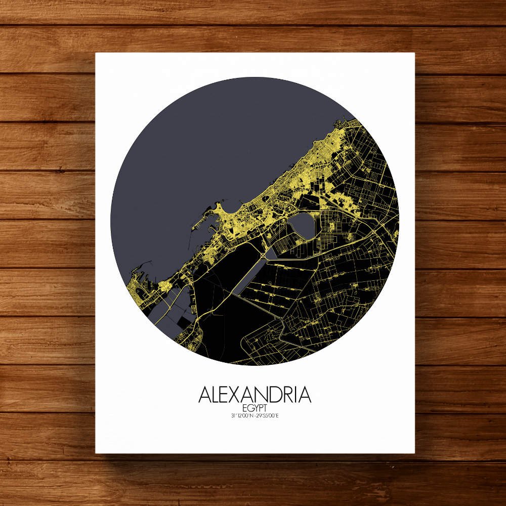
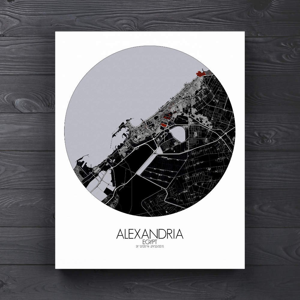
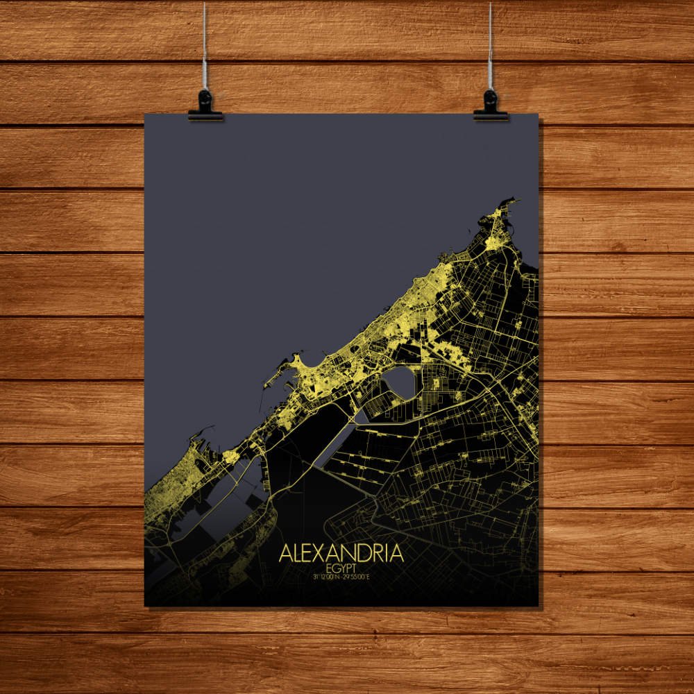
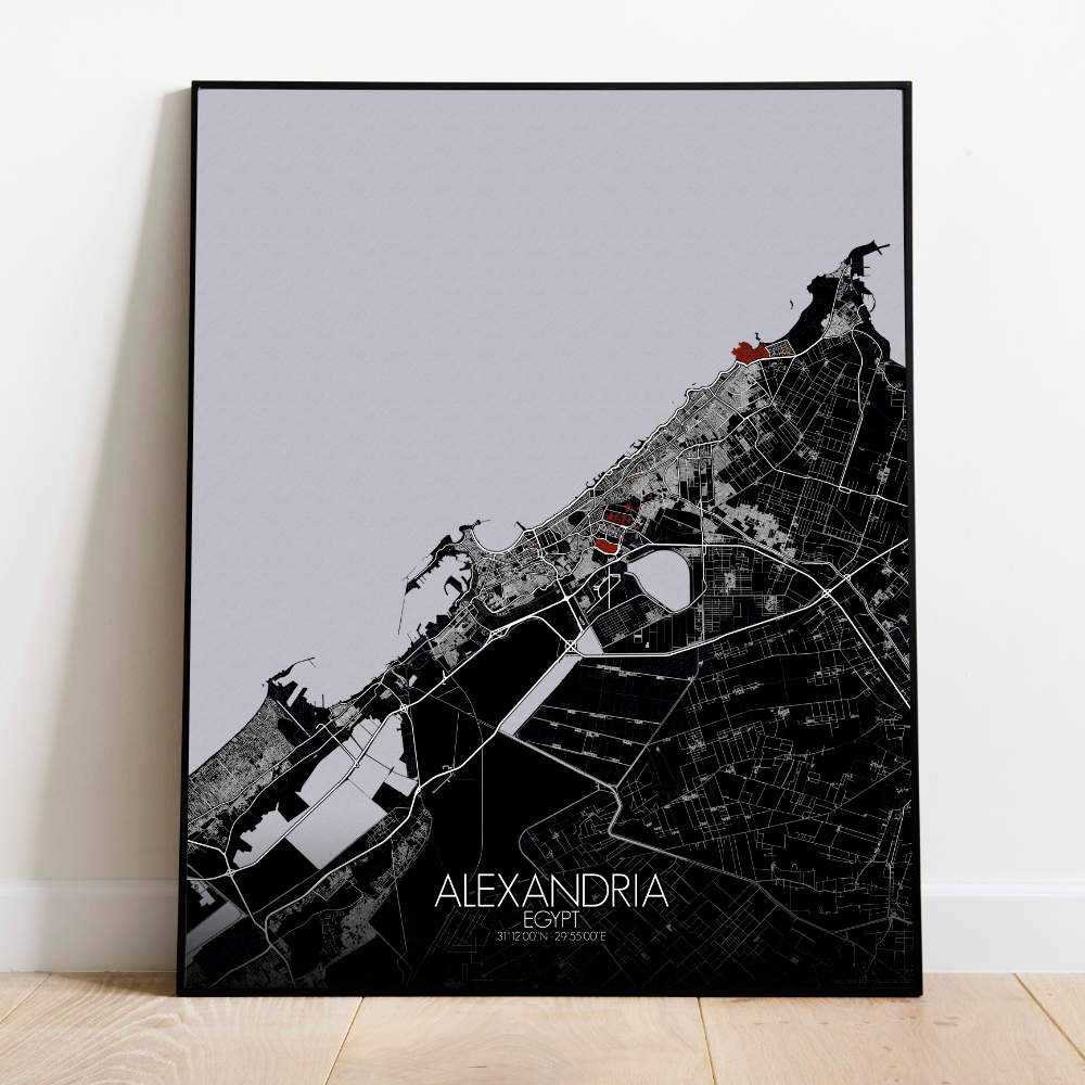
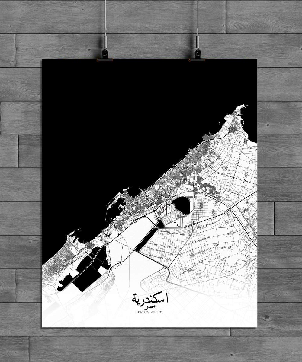
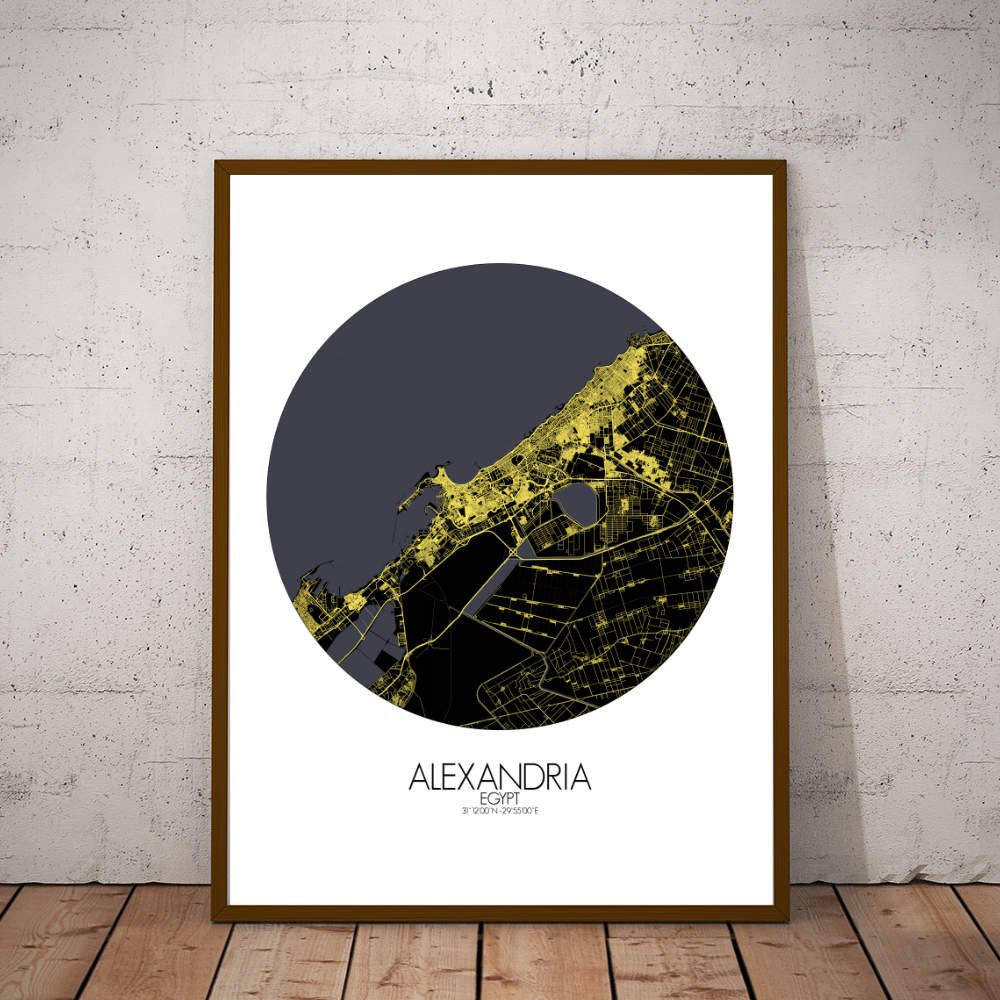

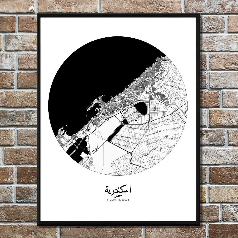
Poster City map of Alexandria, Egypt: Its ruins may have fallen into the sea, but its legacy is etched into the city’s contours.
Nestled on the Mediterranean coast, Alexandria, Egypt, is a city where ancient history meets vibrant modern life, and its map captures the essence of this timeless blend. The map features the city’s natural layout, gracefully hugging the shoreline with the waters of the Mediterranean, while its sprawling streets reveal a city shaped by both nature and human hands. The terrain, with its subtle changes in elevation, invites the eye to wander across the gently rising hills, leading toward the famous Montaza Palace and its expansive gardens, a green gem on the city’s edge. A thick network of streets, once planned by the Ptolemies, carries the marks of Alexandria’s ancient glory, from the once mighty Library of Alexandria (long gone but still whispered about in the breeze) to the remnants of the Pharos Lighthouse, one of the Seven Wonders of the Ancient World. Greenspaces like the serene Alexandria Corniche, stretching along the waterfront, offer delightful contrasts against the urban sprawl. Parks, gardens, and tree-lined avenues dot the map, making Alexandria not just a bustling metropolis but also a city that knows how to take it easy, whether under the shade of a palm or near the quiet of the Mediterranean.