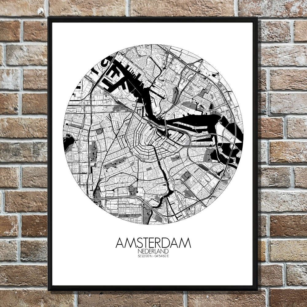

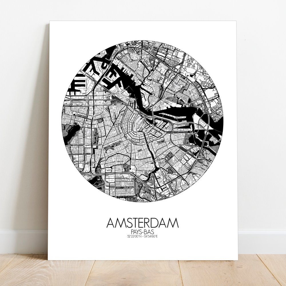

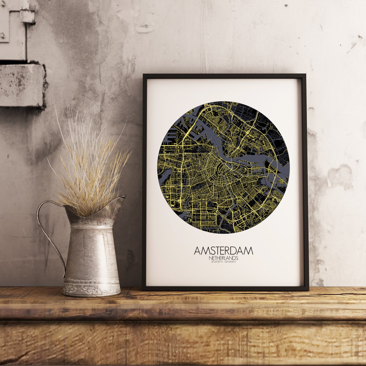
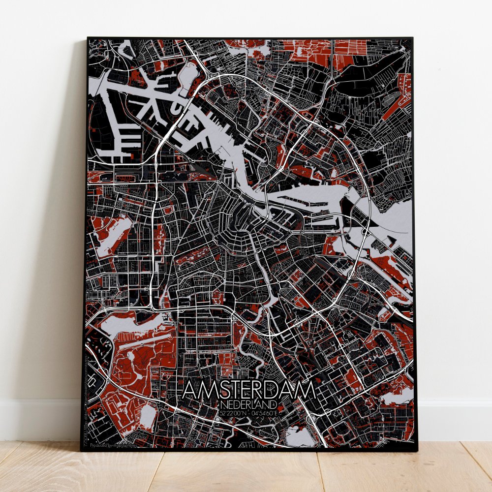
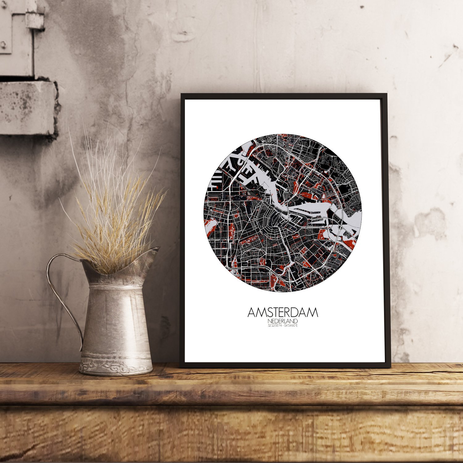
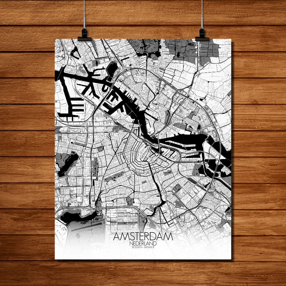
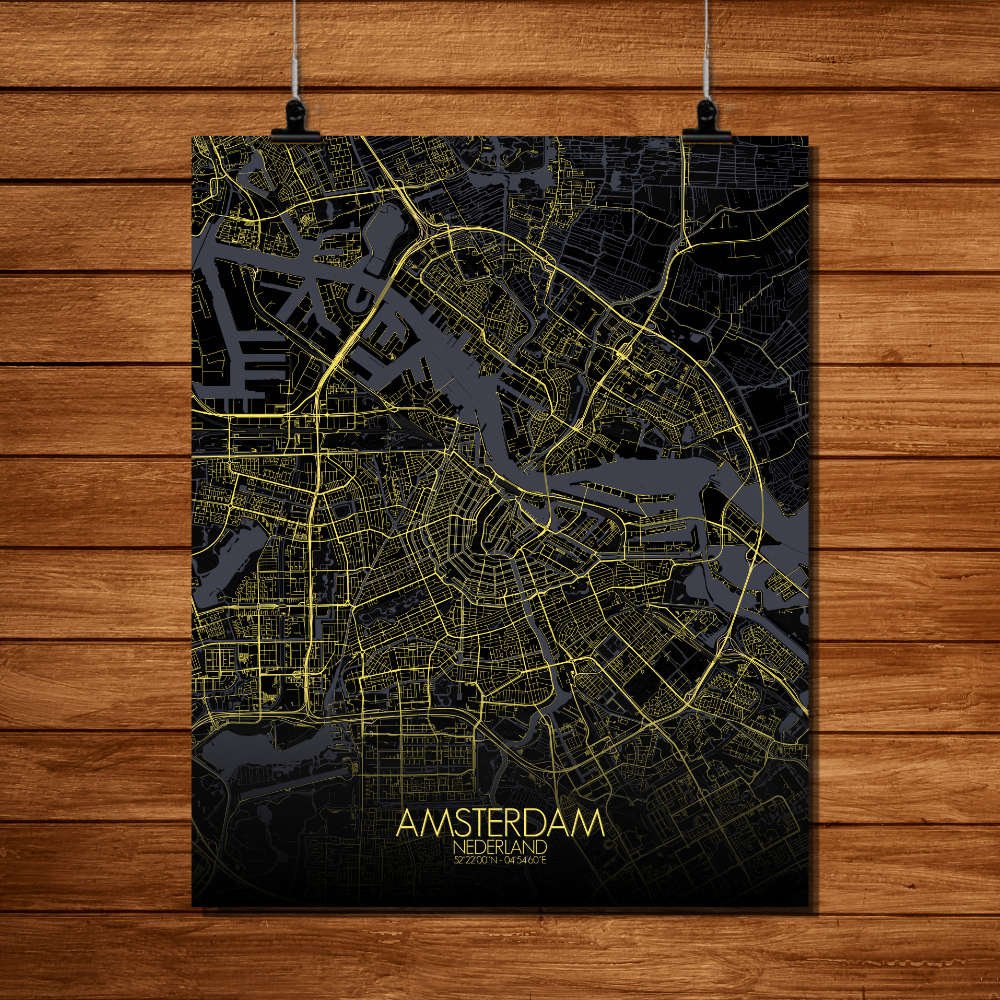
Poster City map of Amsterdam, Netherlands: a city built on water and stubbornness, unfolds here in a pattern that would confuse most rivers and delight any mapmaker.
This City Map reveals the graceful geometry of the canals—those looping half-moons that make the city look like it was drawn by someone with a compass and a fondness for getting lost slowly. The terrain is famously flat, of course, as if the land simply gave up arguing with the sea and decided to stay low. From above, you can trace the Grachtengordel, the historic canal belt, wrapping around the old center like a lace collar. The map captures every elegant bend and bridge, from the stately Herengracht to the livelier Jordaan, where warehouses once hummed with trade and now hum with bicycles and baristas. To the south, Vondelpark stretches like Amsterdam’s back garden—a place where locals sunbathe next to ducks, and the only hills are polite bumps. And there’s the IJ, the wide water to the north, once the path of ships bound for distant empires, now more likely to host ferries and the odd wayward swan. The city’s landmarks rise modestly from the map—like the Rijksmuseum guarding its treasure hoard or the Royal Palace, which has seen its share of pageantry and pigeons. This wall map offers more than streets and shapes; it’s a quiet celebration of a city that floats, tilts, and sometimes wobbles—but never sinks. A perfect way to bring a little Dutch charm and well-planned chaos into your home.