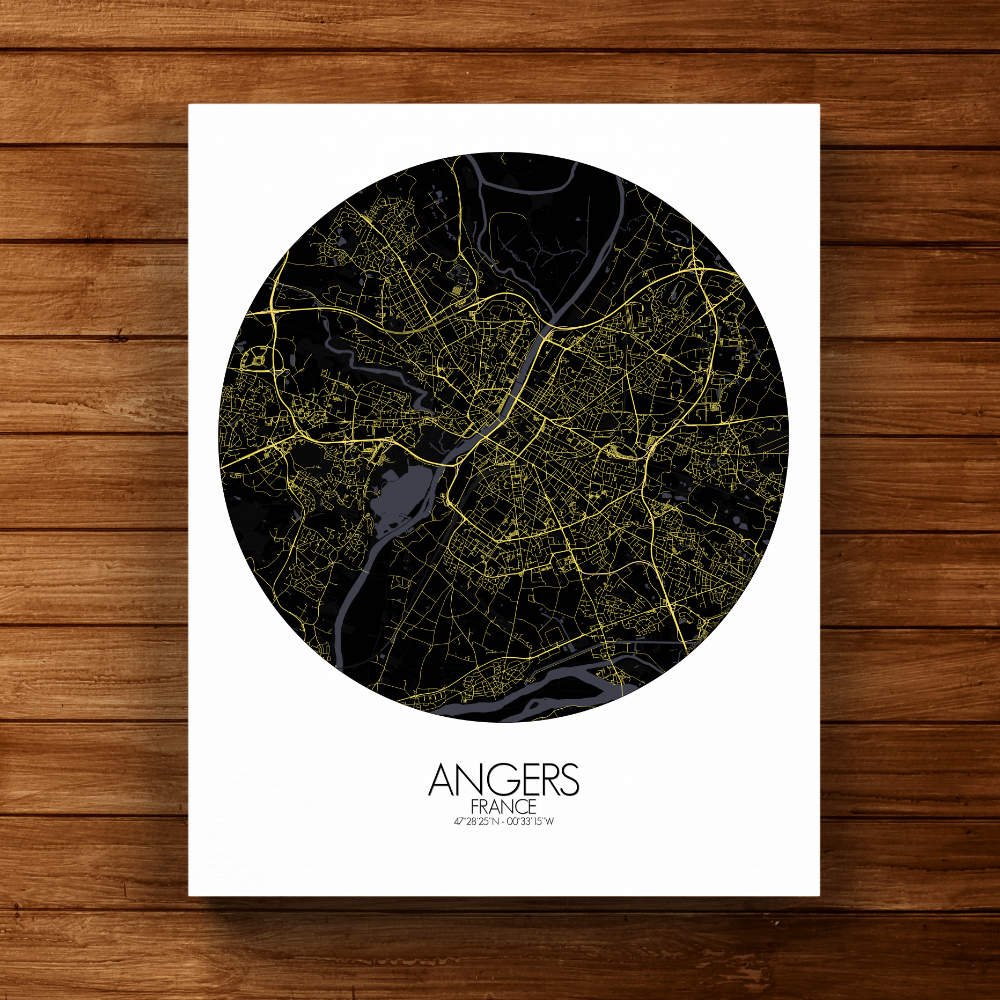
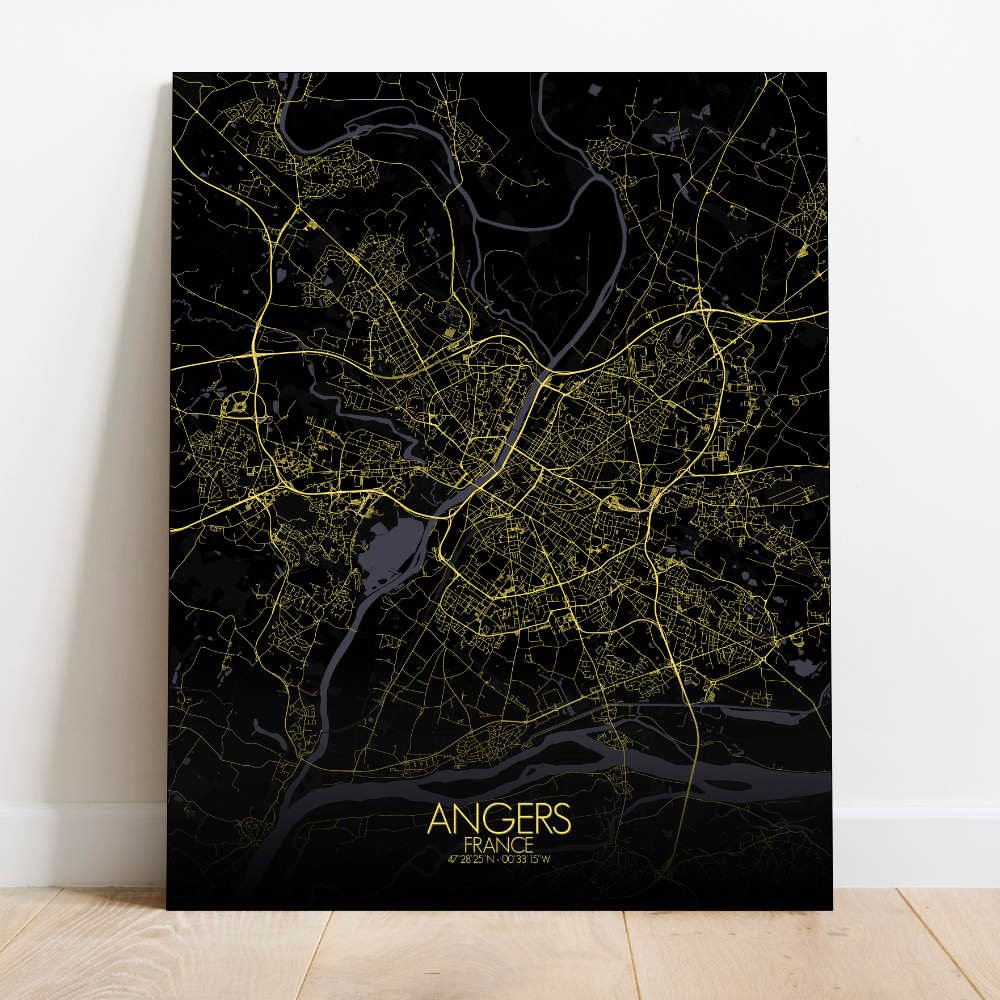
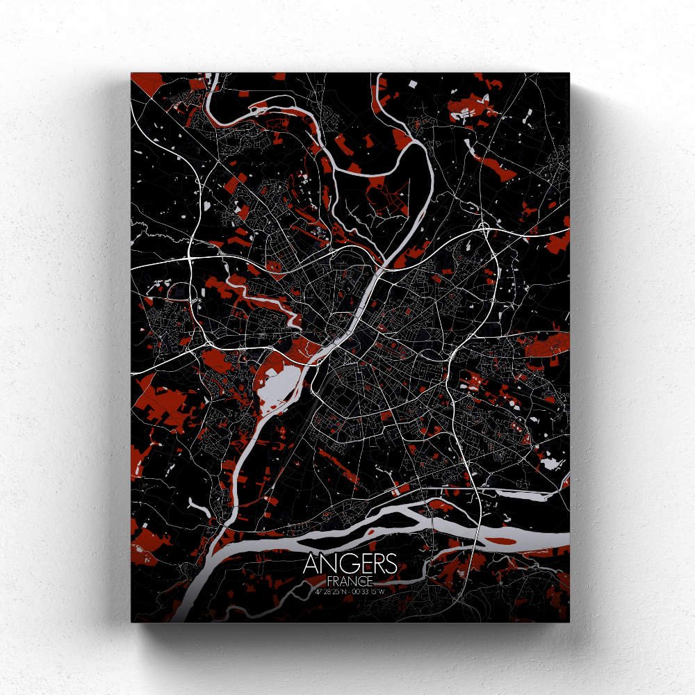
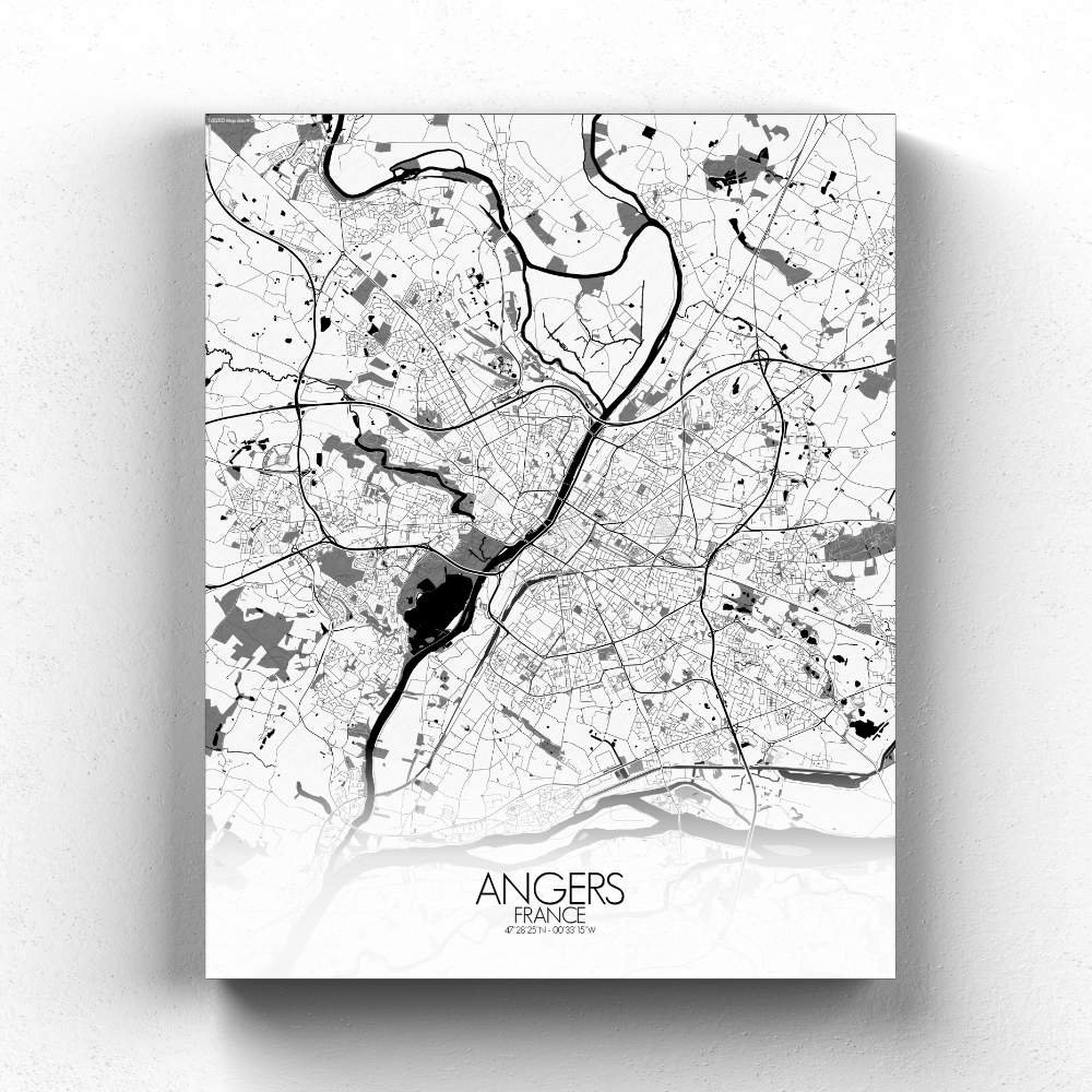
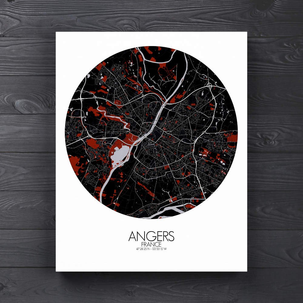
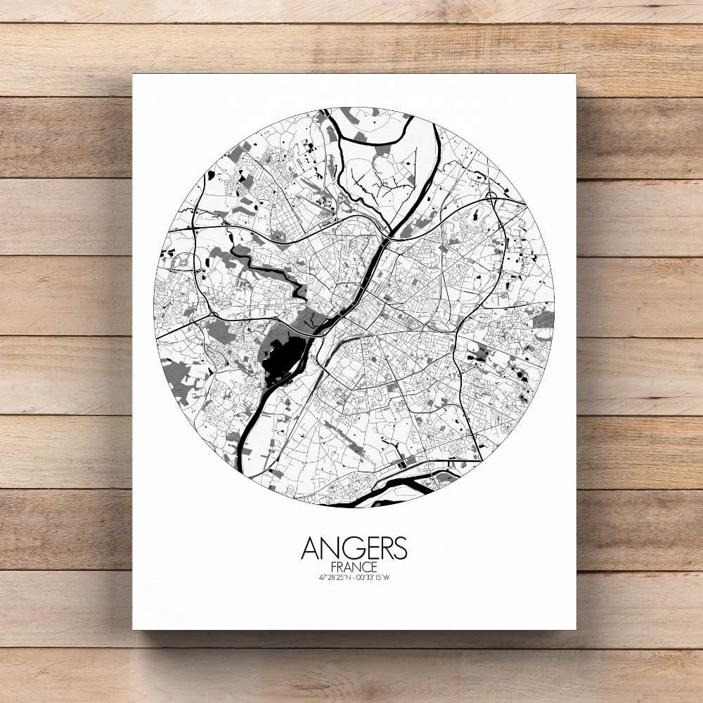
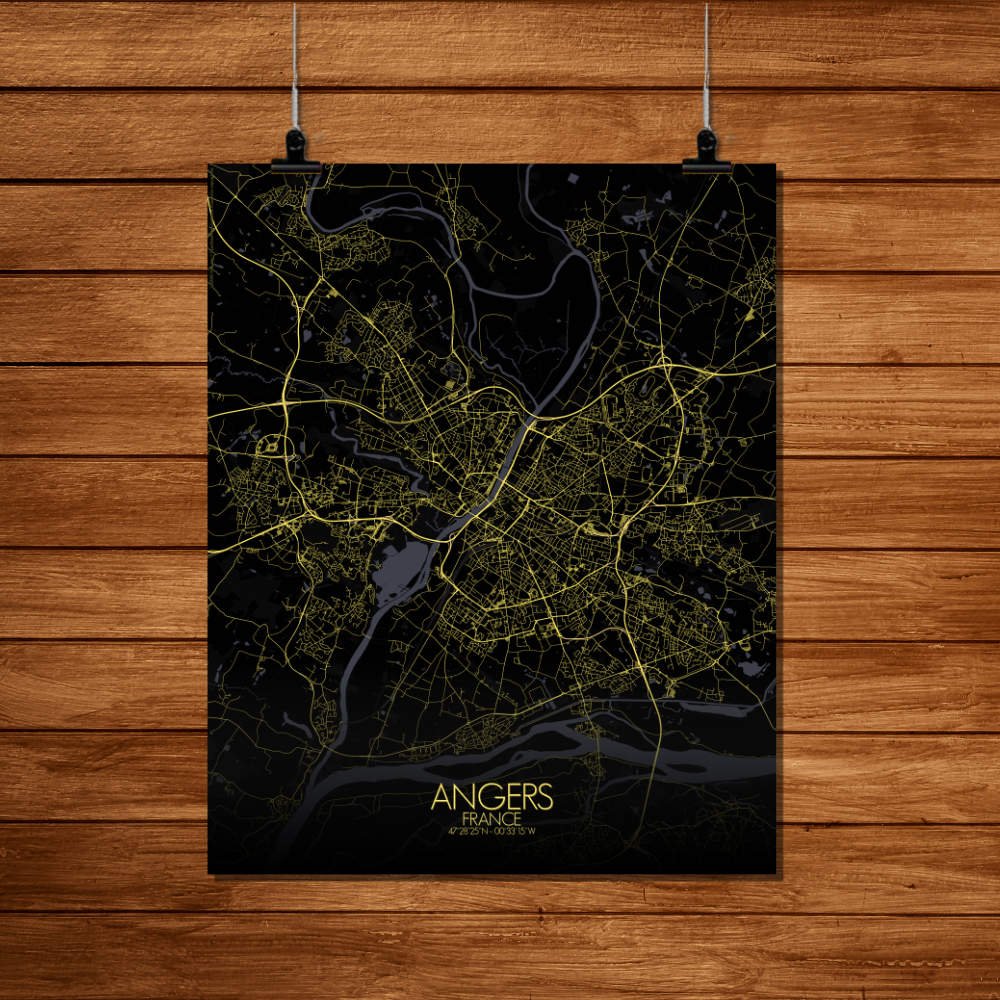
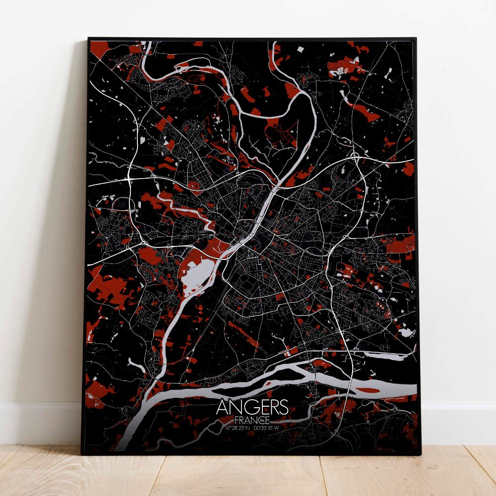
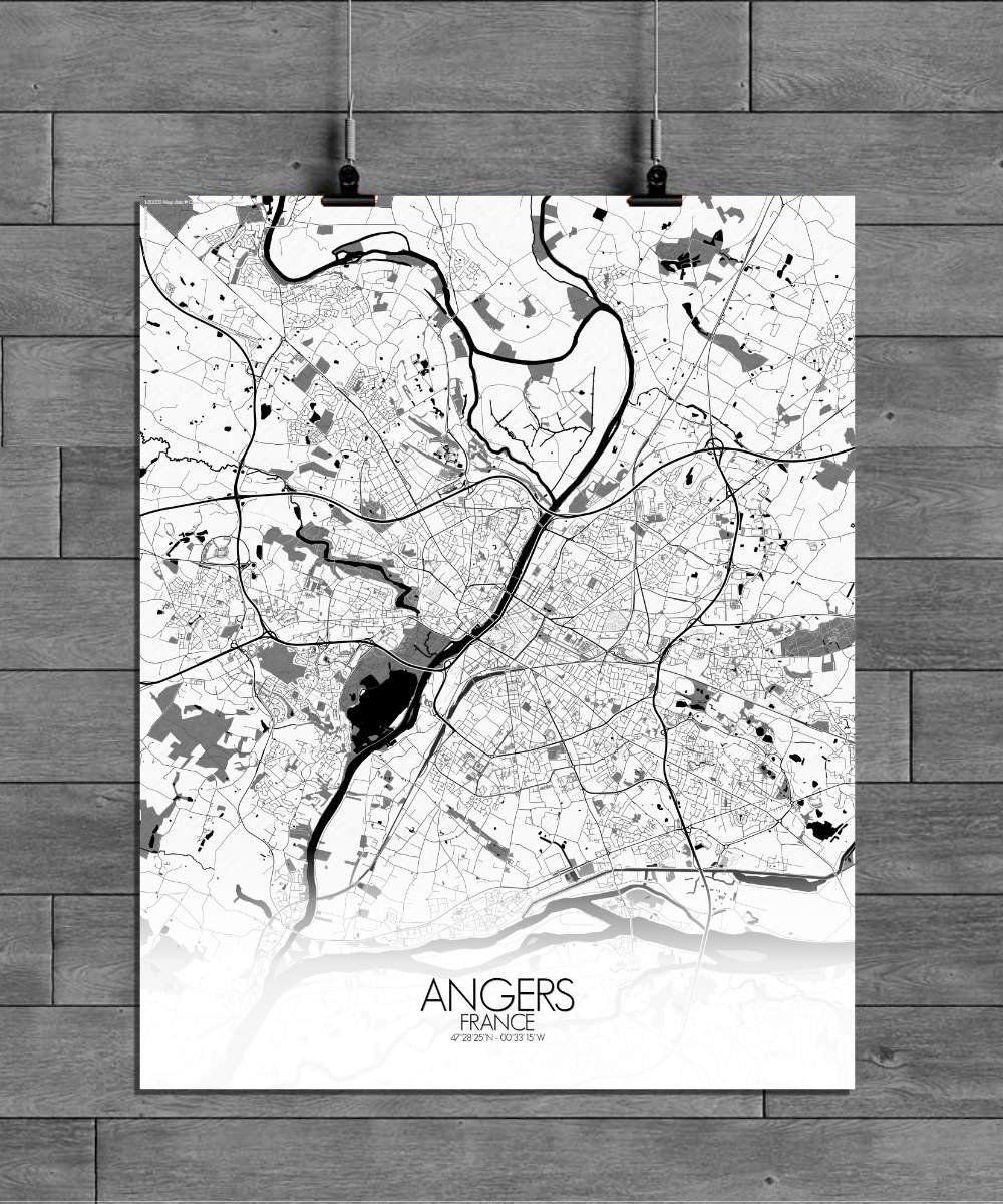
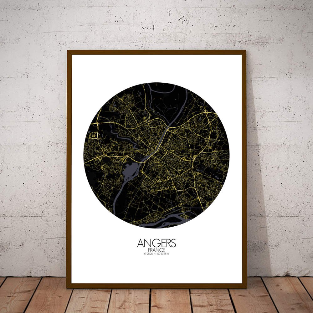
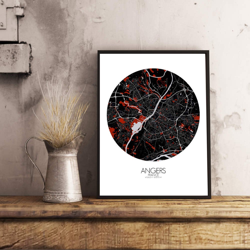
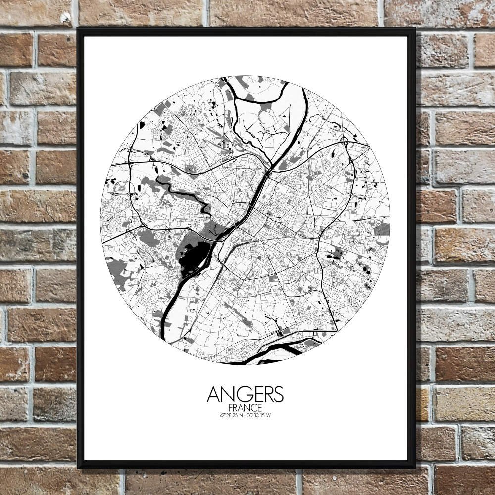
Poster City map of Angers, France: with its mix of green spaces, historic sites, and the soothing flow of the Loire, the map of Angers offers a striking visual that is both timeless and full of life—a perfect piece for any wall.
Situated along the Loire River, the map showcases a landscape shaped by gentle hills and fertile plains, offering a pleasant contrast to the river’s winding path. As you follow the curves of the map, you’ll notice how the city nestles into its surroundings, with the river providing a natural boundary to the north and soft hills rising to the south. Angers is a city of green, with sprawling parks and gardens scattered throughout. The large Parc de la Garenne, for example, offers a perfect escape from the bustle of city life, while the historic Jardin des Plantes adds a touch of botanical elegance to the urban fabric. These lush spaces are balanced by the city’s architectural landmarks, notably the imposing Château d’Angers, with its massive medieval walls still standing guard over the city. The map highlights the fortress’s vast silhouette, which dominates the landscape and carries stories of the Plantagenets and the Hundred Years’ War. As you explore further, the map reveals the charming streets of Angers’ city center, where narrow lanes and old stone buildings tell tales of the city’s medieval roots. But don’t be fooled by its ancient appearance—Angers is a vibrant, modern city with lively squares and an active cultural scene. Its universities, museums, and theaters add a contemporary layer to the city’s rich historical tapestry.