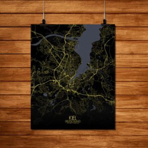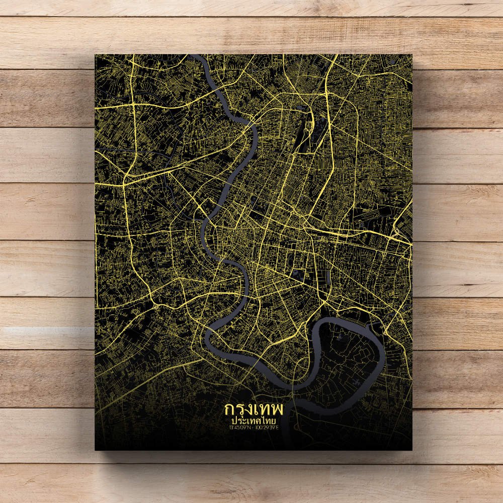
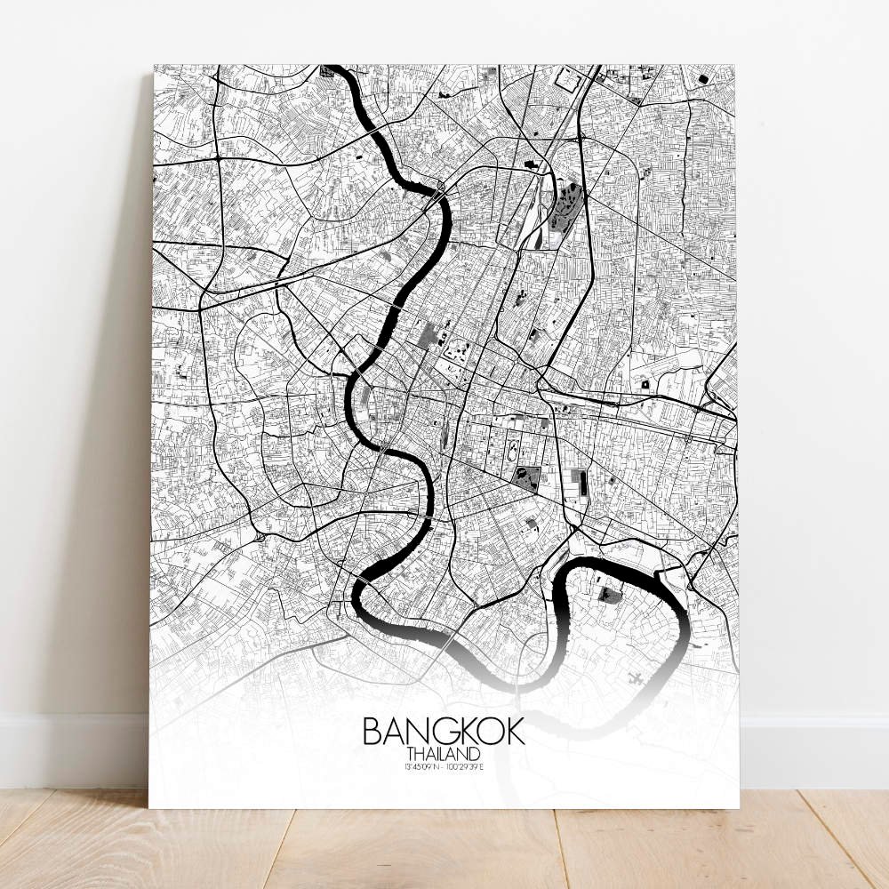
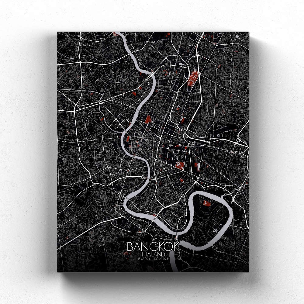
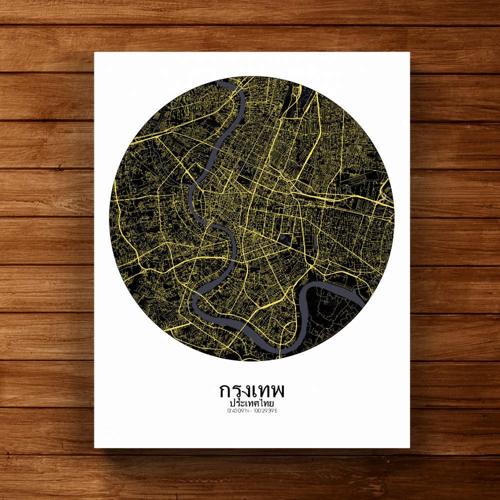
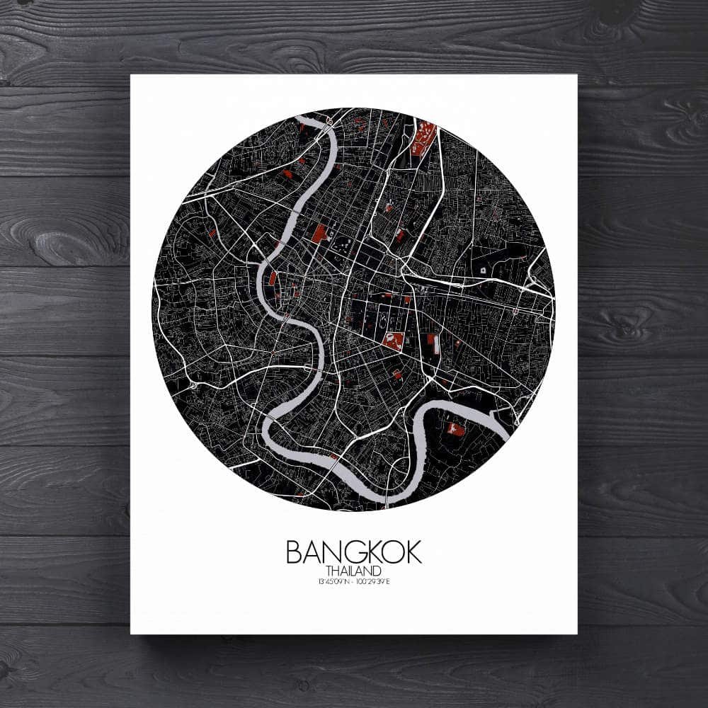

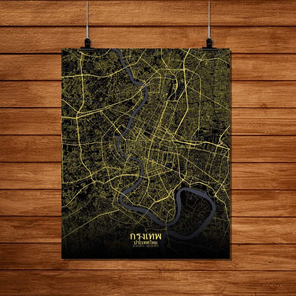
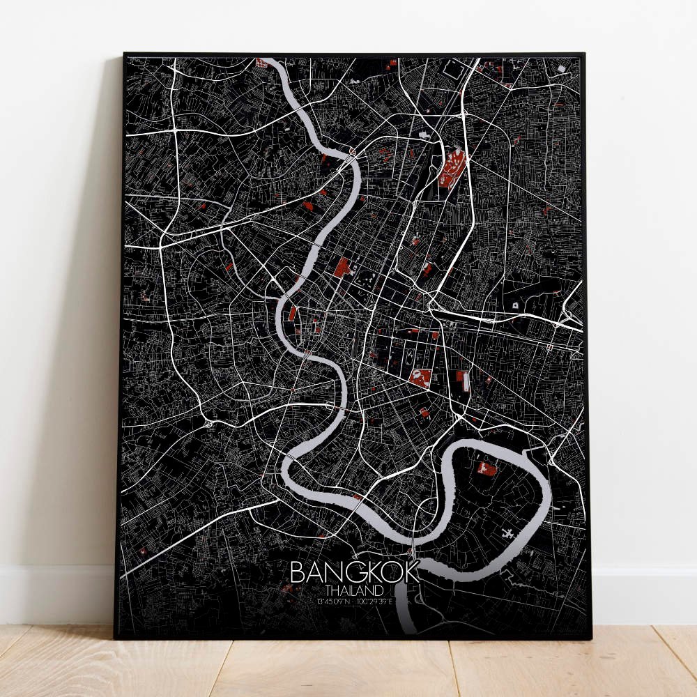
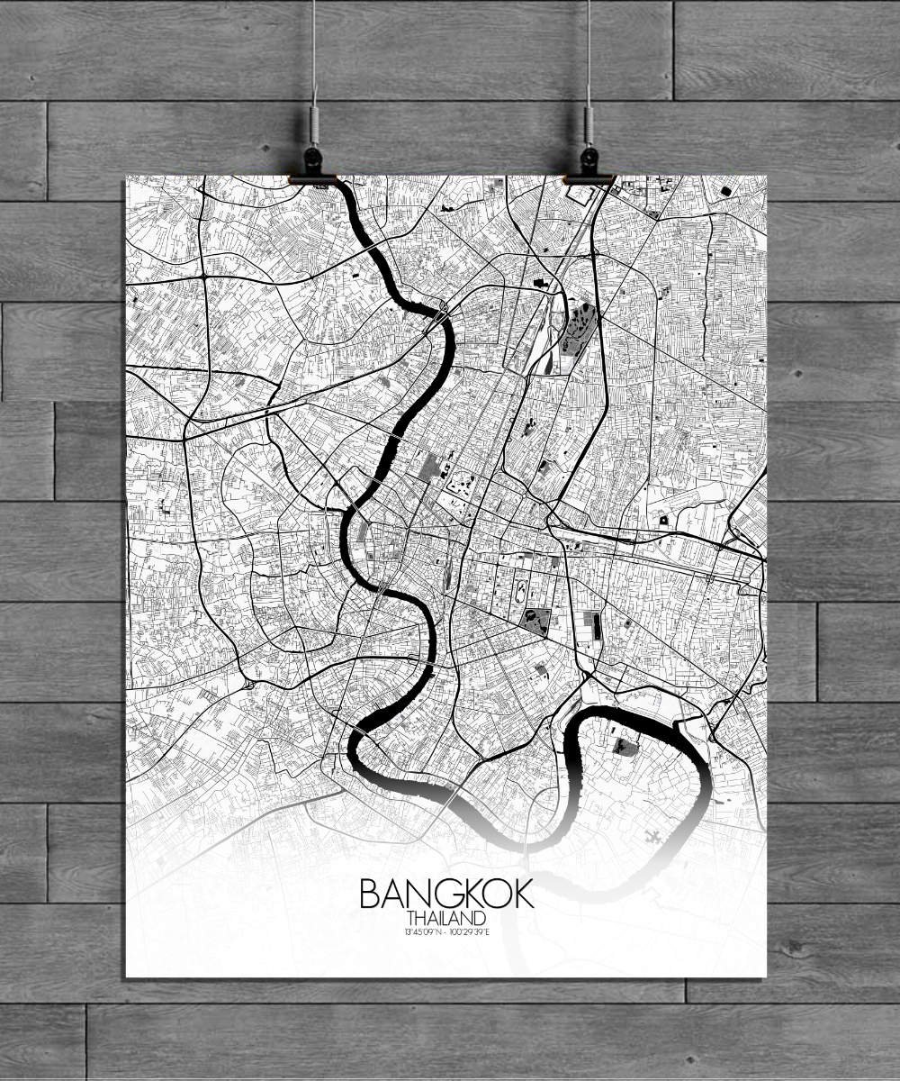
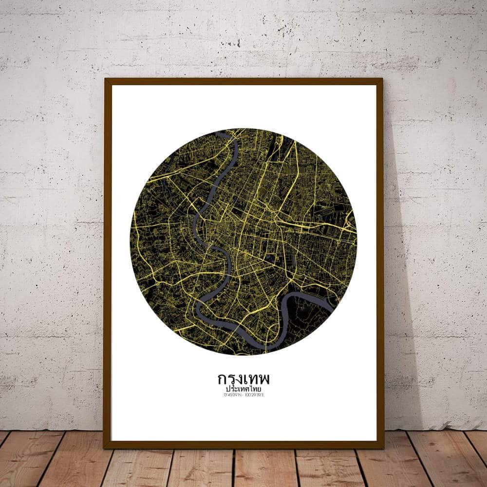
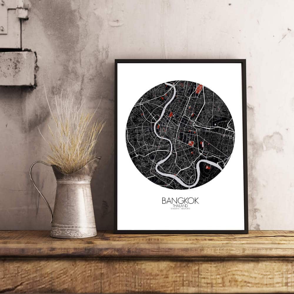
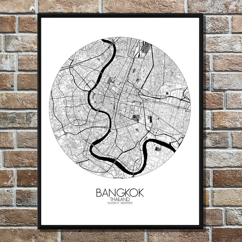
Poster City map of Bangkok, Thailand: The map captures the intricate network of canals, known locally as “khlongs,” which were once the city’s main arteries.
Situated on the banks of the Chao Phraya River, the map draws attention to the winding flow of the river, which has shaped the city’s development for centuries. As you trace its curves, you’ll find how the river has been both a lifeline for trade and a stage for colorful boat races that still take place today. The terrain is mostly flat, with the city sprawling across a low-lying delta. Khlongs waterways weave through neighborhoods, offering a glimpse into the past when Bangkok was often called “Venice of the East.” Though many of the canals have been replaced by roads, a few remain, adding a touch of old-world charm to the map’s more modern features. Green spaces like Lumpini Park stand out as serene spots amidst the city’s energetic pace. Nestled in the heart of Bangkok, this park is where locals go to escape the noise, jogging along its paths or relaxing by the lakes. It’s a perfect contrast to the urban sprawl around it, where you can spot towering skyscrapers that seem to rise almost overnight. Iconic landmarks such as the Grand Palace and Wat Arun, with their distinct spires reaching toward the sky, offer a nod to the city’s rich history. These sites sit on the map like ancient markers, reminding us that Bangkok is not just a modern city but one with deep cultural roots that date back to its founding in the late 18th century. Meanwhile, the bustling streets around Khao San Road and Siam Square capture the city’s vibrant energy, where tradition and trend collide.