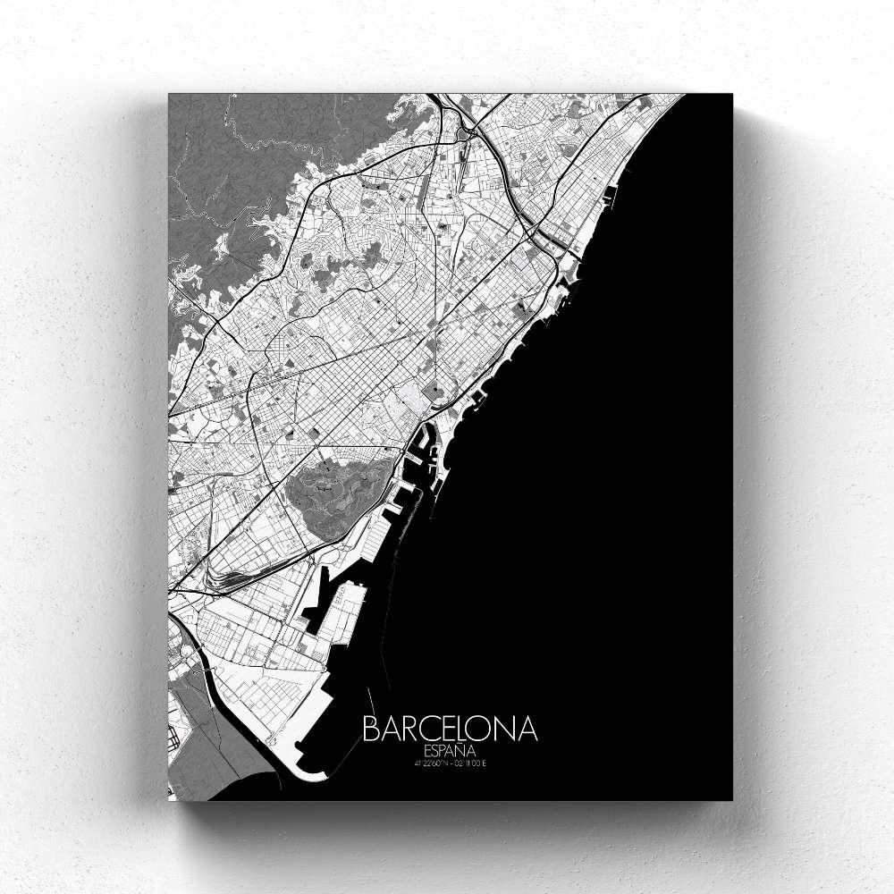
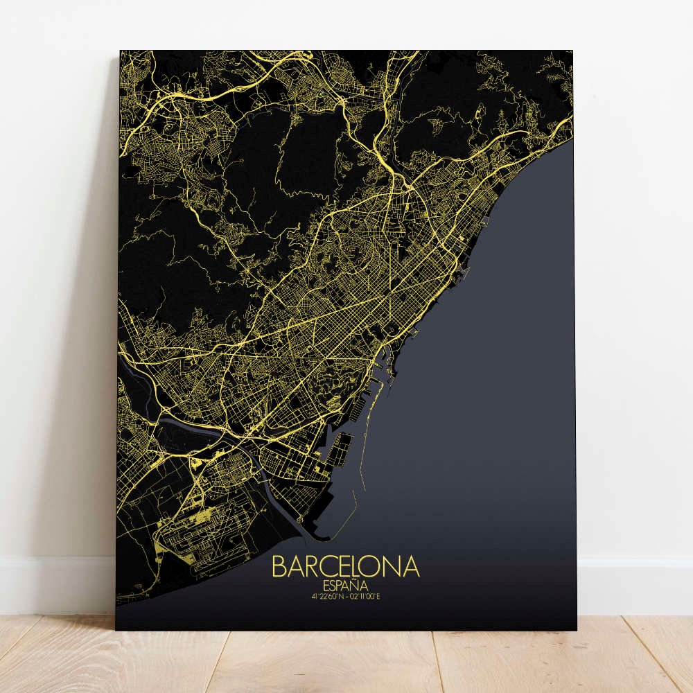
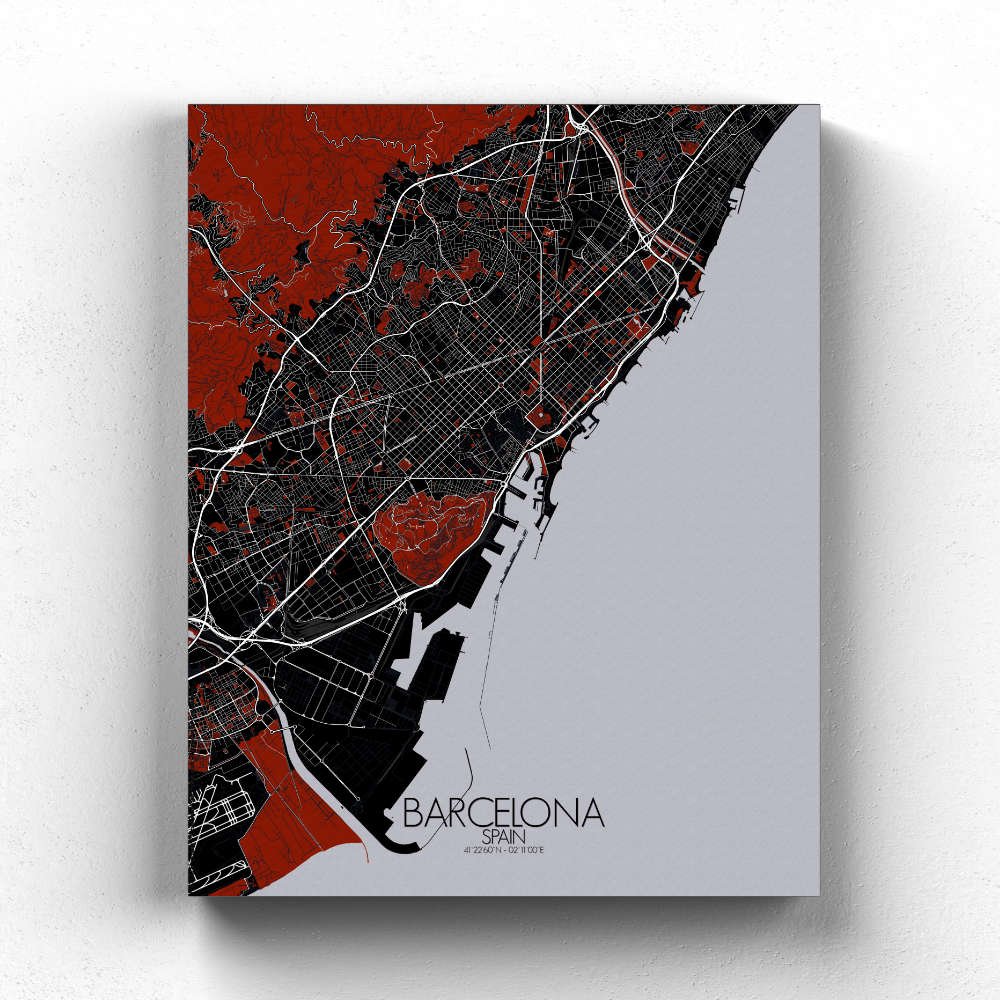
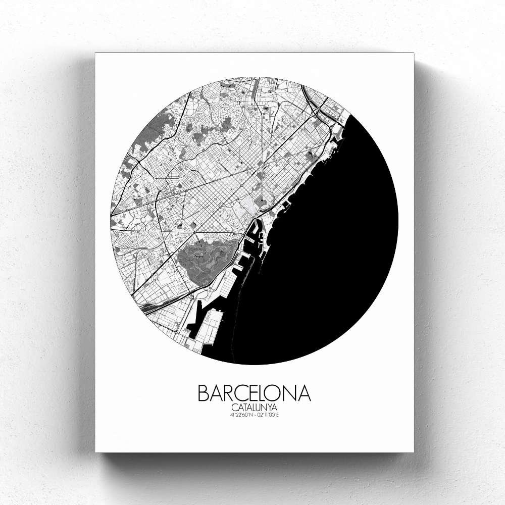


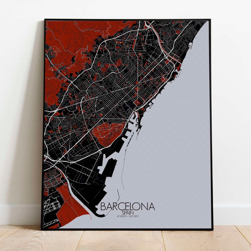

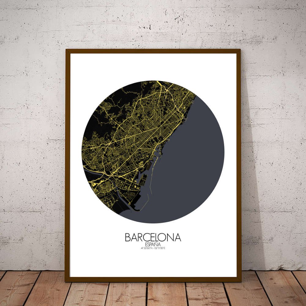
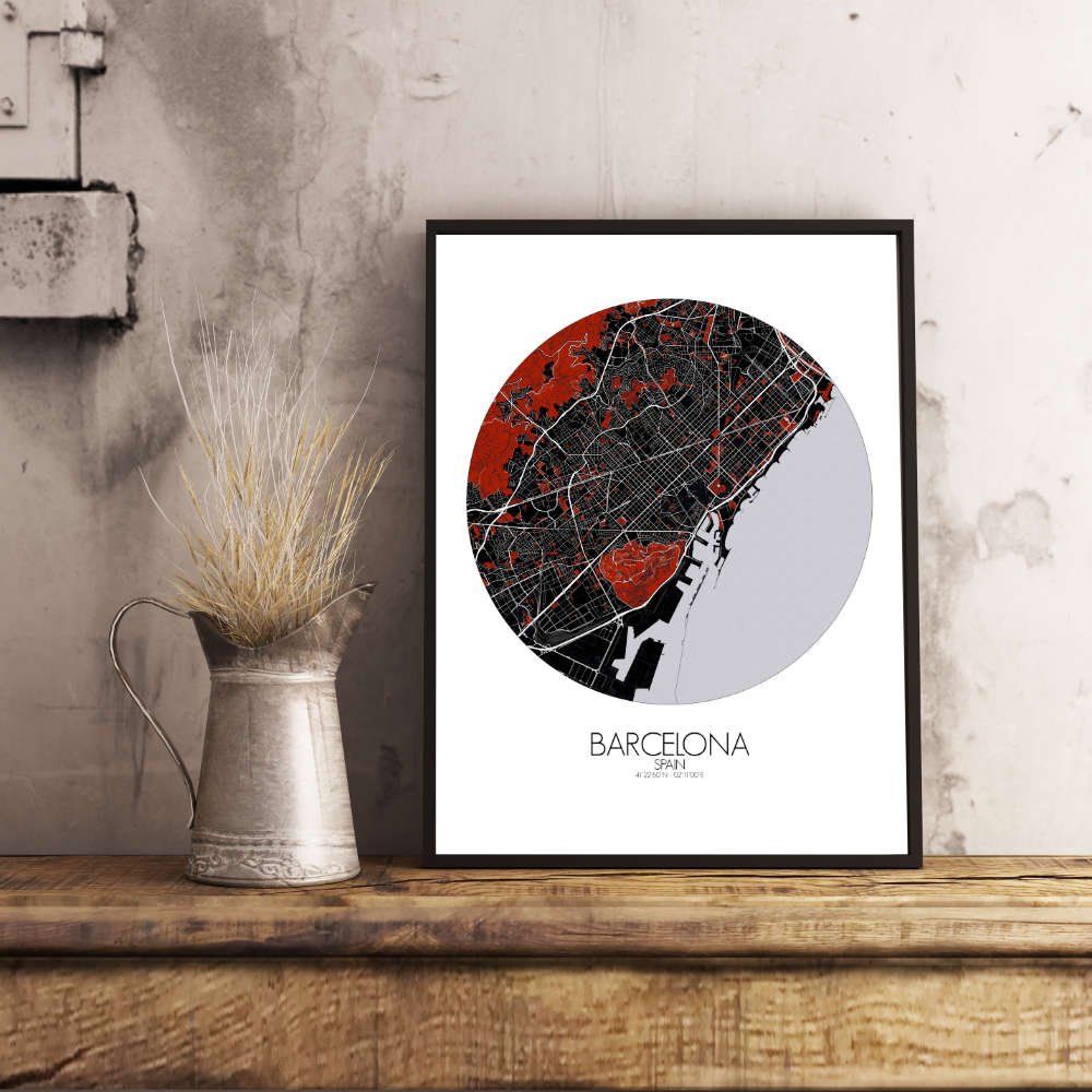
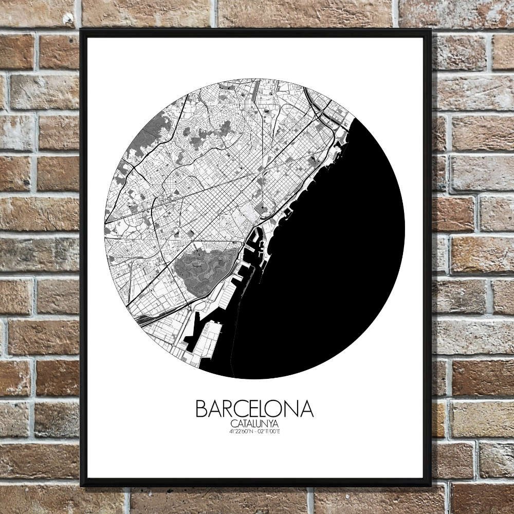
Poster City map of Barcelona, Spain: Set between the sea and the hills, Barcelona stretches out like a canvas painted by both nature and very ambitious architects.
This City map captures that balance with calm precision—the blue sweep of the Mediterranean hugging the city’s edge, and the green shoulders of Montjuïc and Tibidabo rising gently behind, as if the land itself leaned in for a better view. From above, the city’s famous grid in the Eixample district looks like someone got a ruler, a compass, and a touch of obsession. Each block is carved with chamfered corners—cut neatly, not just for traffic, but for sunlight and elegance. And right in the middle of this geometrical puzzle, the Sagrada Família climbs into the sky like a cathedral that forgot to stop growing. Even on a flat map, it seems to hum with unfinished stories. Greenspaces break up the city like pauses in a long conversation. Park Güell curls up on a hillside, full of mosaics, lizards, and the feeling that maybe Gaudí was just trying to make nature jealous. There’s also the long stretch of Ciutadella Park, with its fountains, museums, and the occasional musician pretending not to care who’s listening. Even the tree-lined avenues seem to breathe. The coastline draws a soft, steady line, with beaches that begin where the city ends. From Barceloneta’s buzzing boardwalks to the quieter sands further north, the edge of the map invites the eye toward the open sea, as it always has for sailors, traders, and daydreamers. This map of Barcelona doesn’t just mark streets and slopes—it sketches out a city that was built to be both seen and felt. Hang it on your wall, and you might start planning a siesta, a stroll, or a revolution—just as the locals have done for centuries.