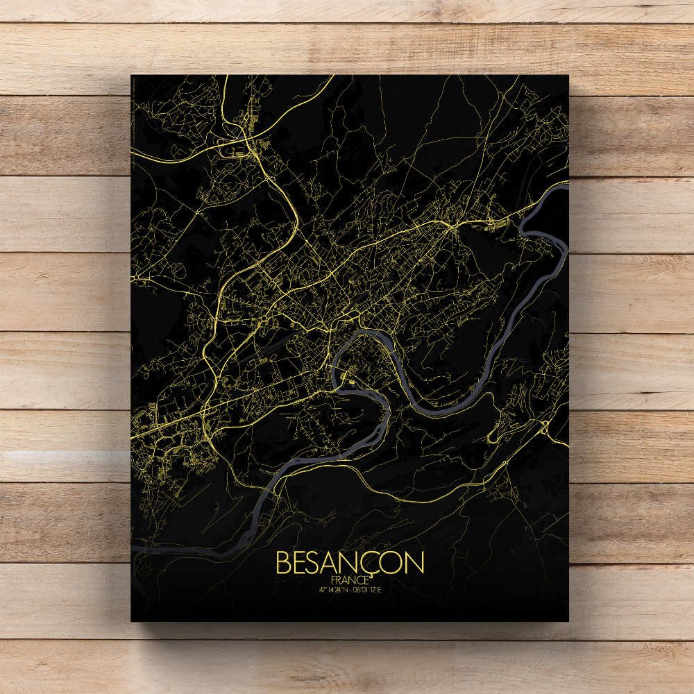
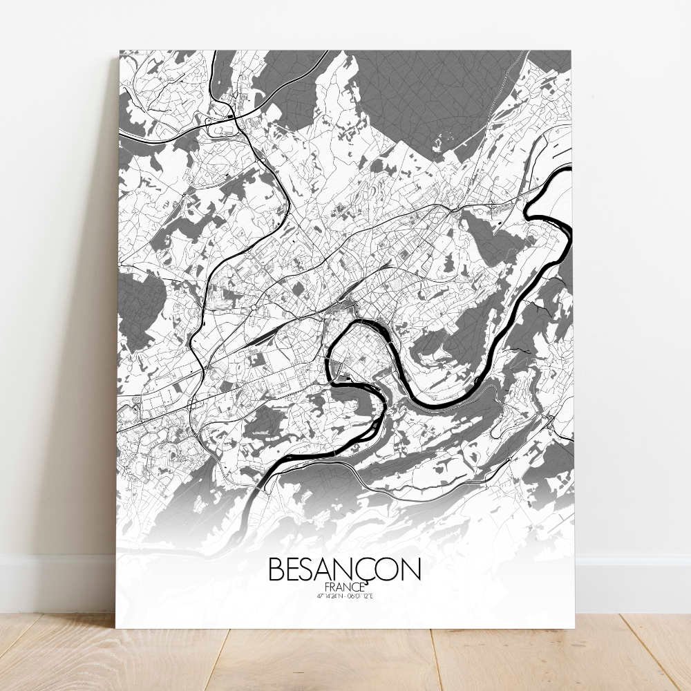
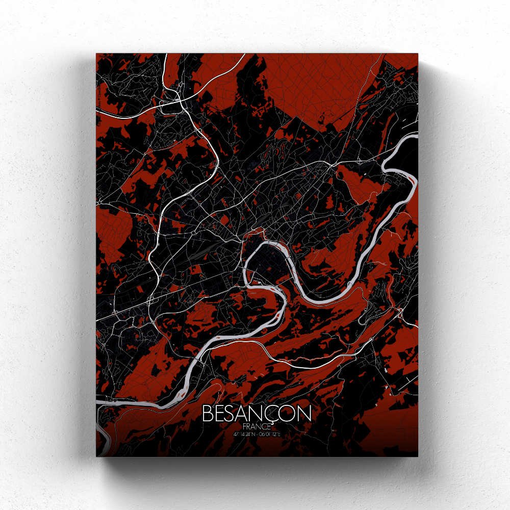
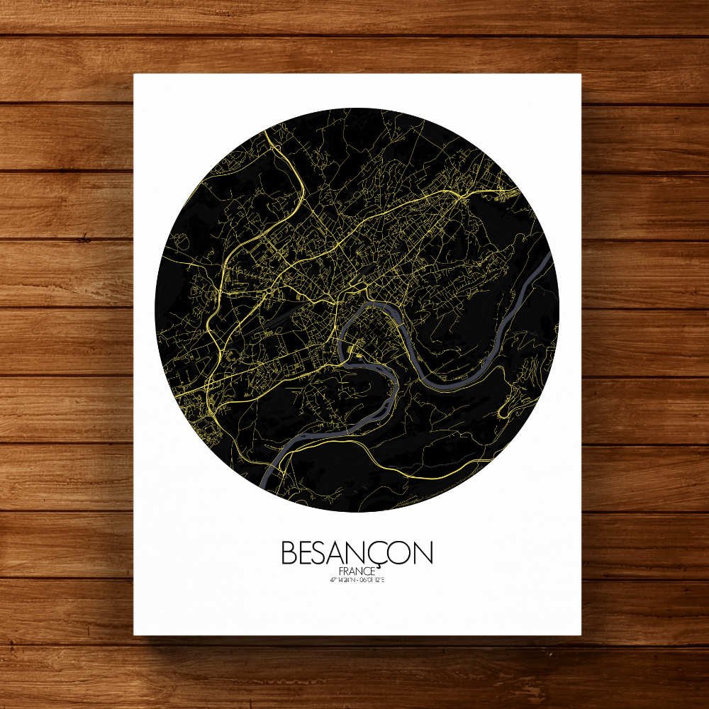
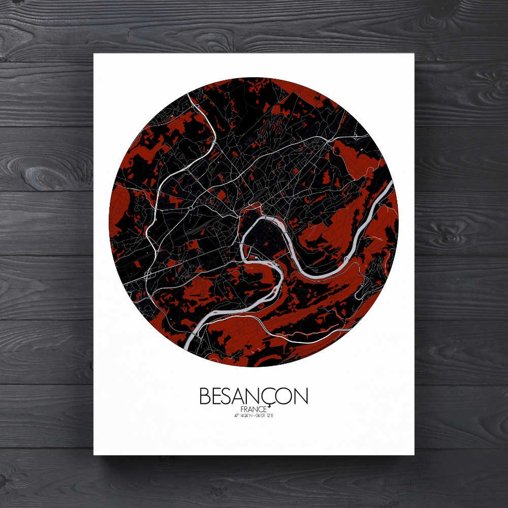
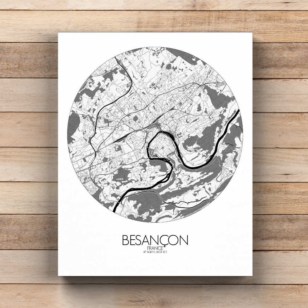
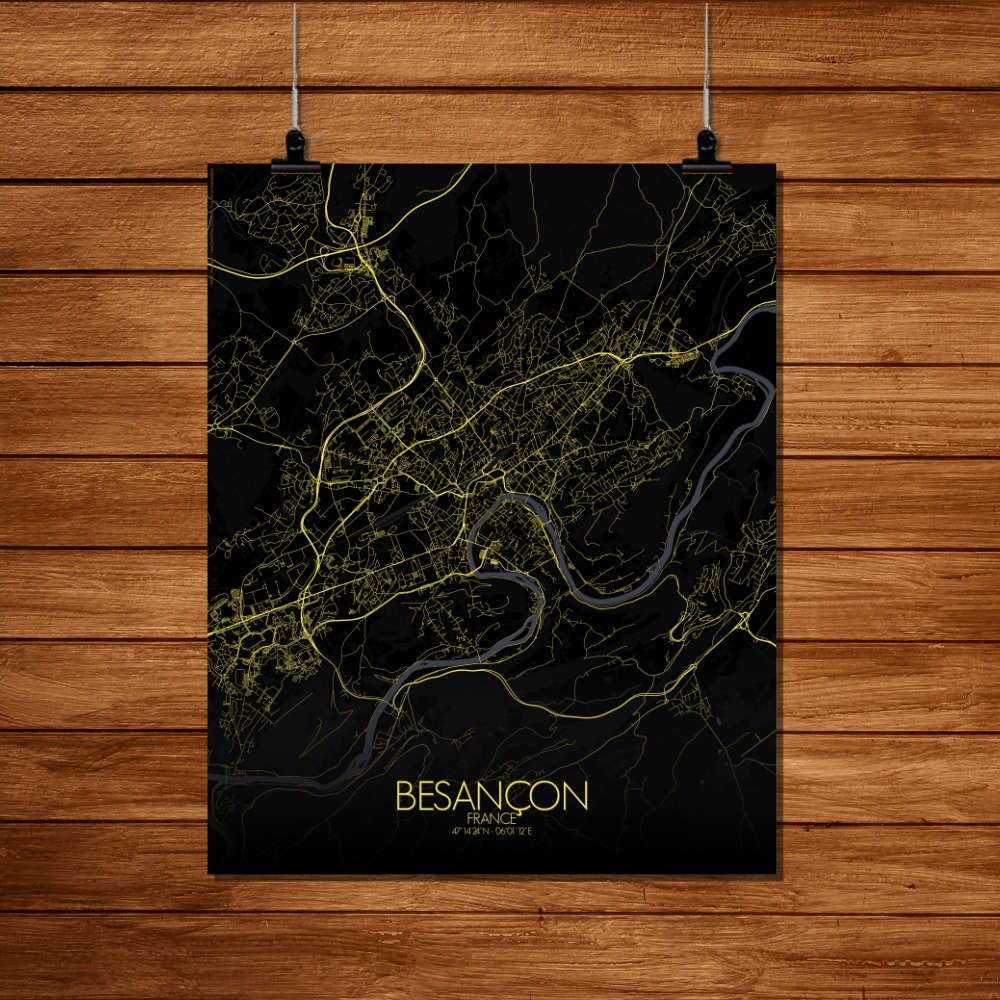
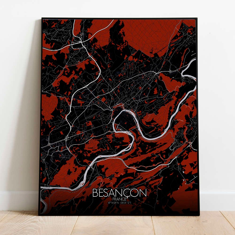
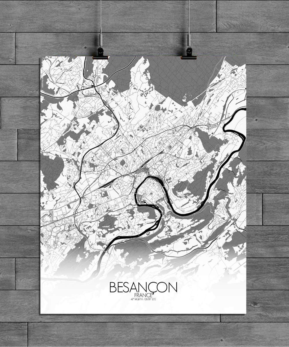
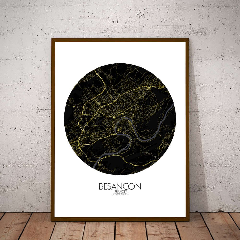

Poster City map of Besançon, France: This map captures the essence of a city where the past and present coexist harmoniously, from the medieval Basilique Saint-Jean to the elegant Place du 8 Septembre.
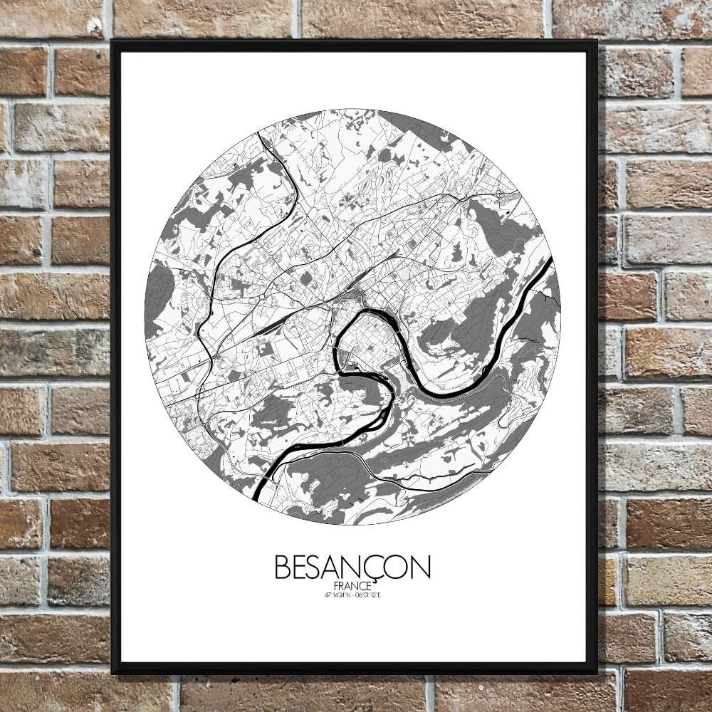
Besançon, tucked away in the Franche-Comté region of eastern France, is a city where the land and history are beautifully intertwined. The map of Besançon reveals a city surrounded by the lush, rolling hills of the Jura Mountains, with the iconic loop of the Doubs River wrapping around its center like a natural moat. This winding river, which has shaped the city’s development for centuries, offers a scenic contrast to the more urbanized areas, bringing a sense of calm and connection to nature. The map’s topographic details show how Besançon rises and falls, with steep hills and valleys that give the city a character of its own. The Citadelle de Besançon, a fortress that overlooks the city, stands as a proud testament to the city’s military history and strategic importance. From its commanding position, you can see the full sweep of the city below, the river, and the surrounding countryside, offering both a historical and modern perspective of Besançon. The Citadel, designed by the famous Vauban, is as much a part of the landscape as the hills themselves, making it one of the city’s most recognizable landmarks. The Parc Micaud and Parc de l’Hotel de Ville offer peaceful escapes in the heart of the city, perfect for a leisurely stroll or a moment of quiet reflection. Besançon is a city with layers of history, from its Roman origins to its role in the French Revolution and beyond.