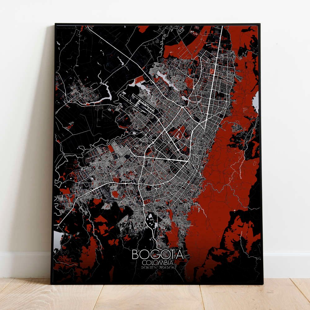

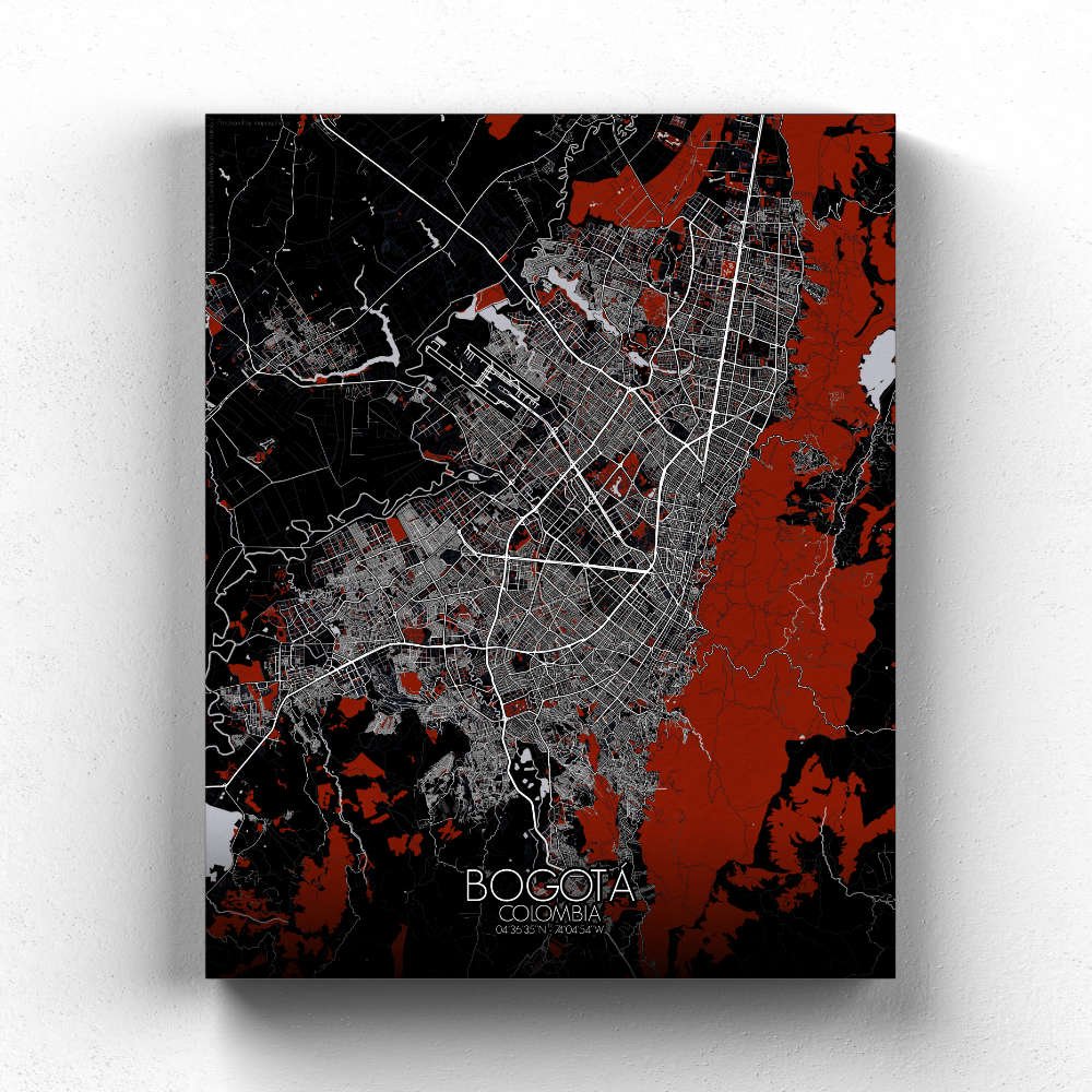
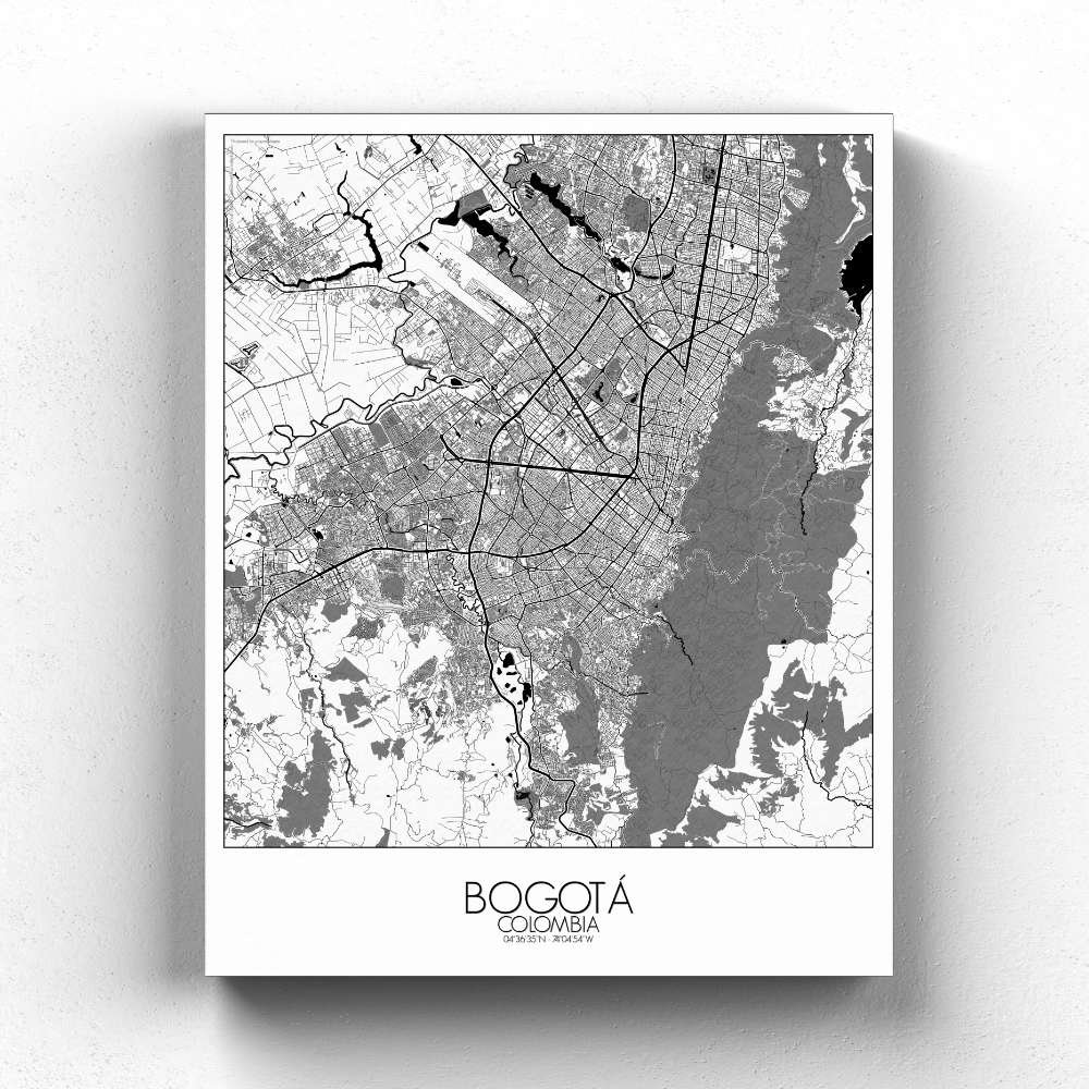
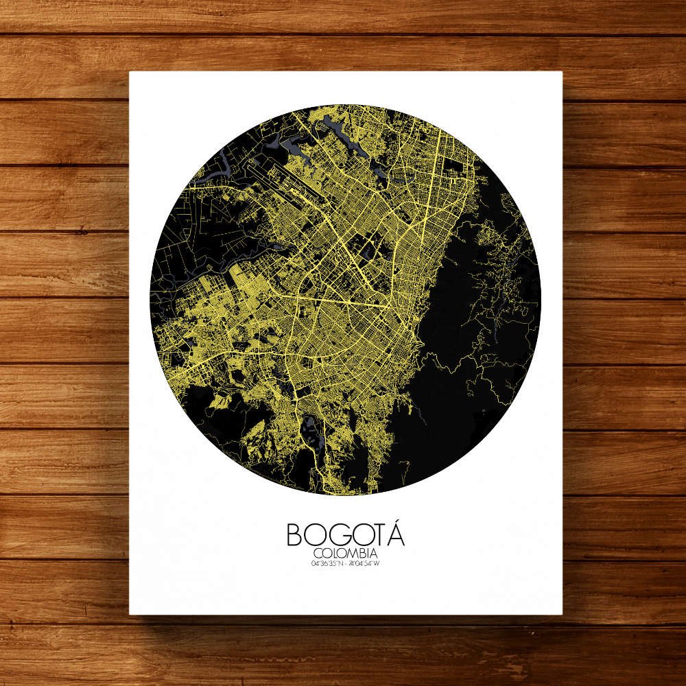
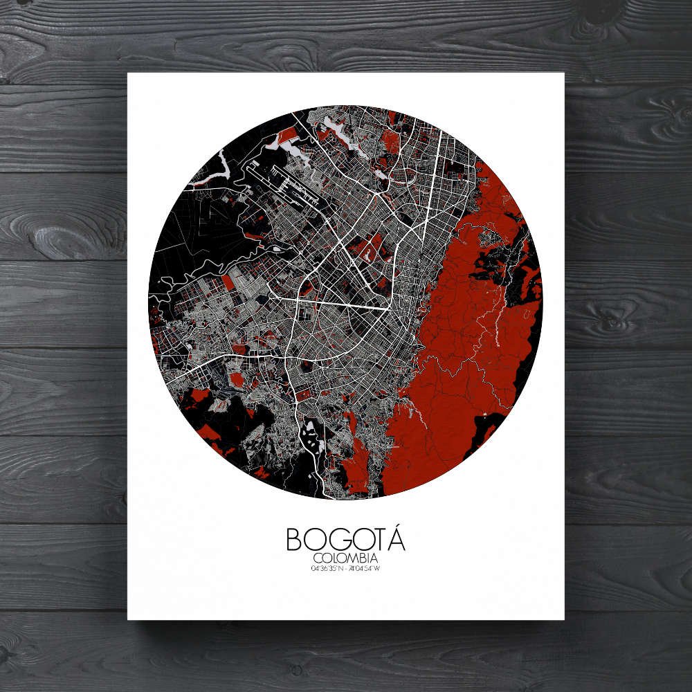
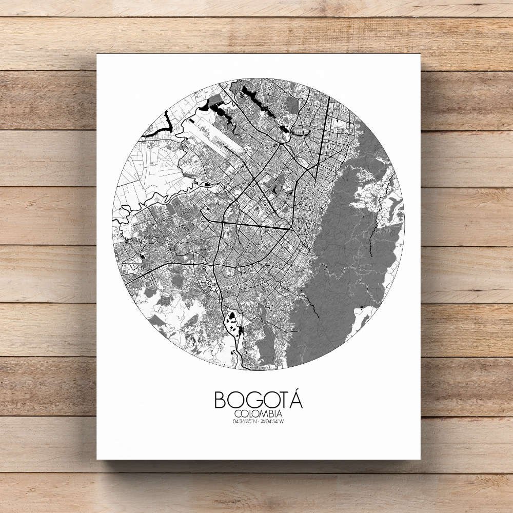
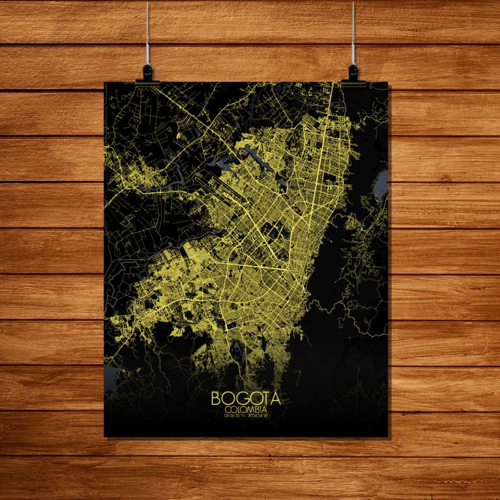
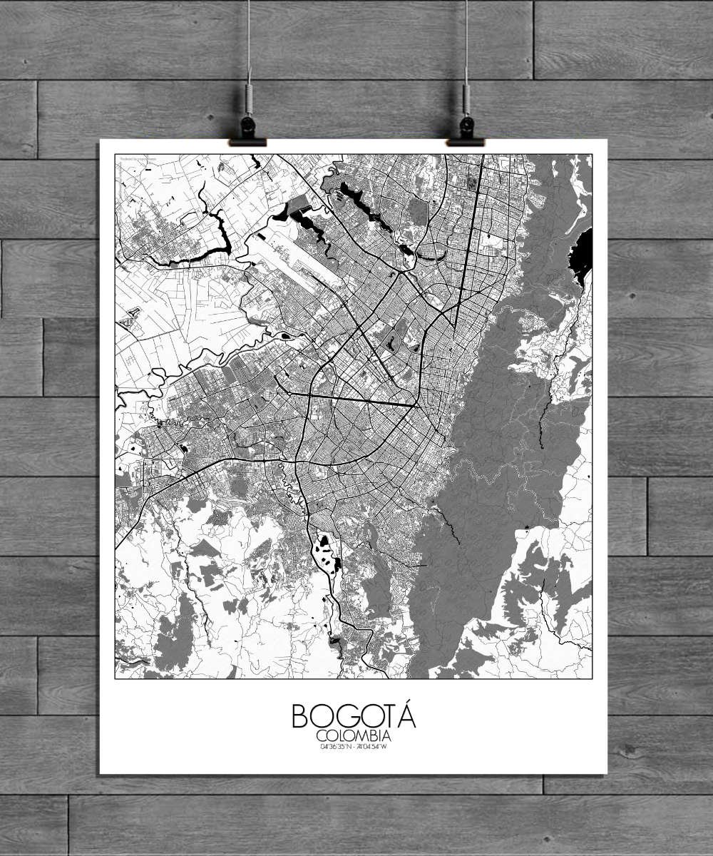
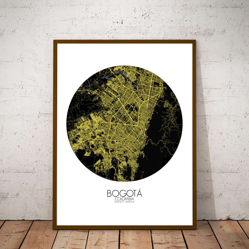
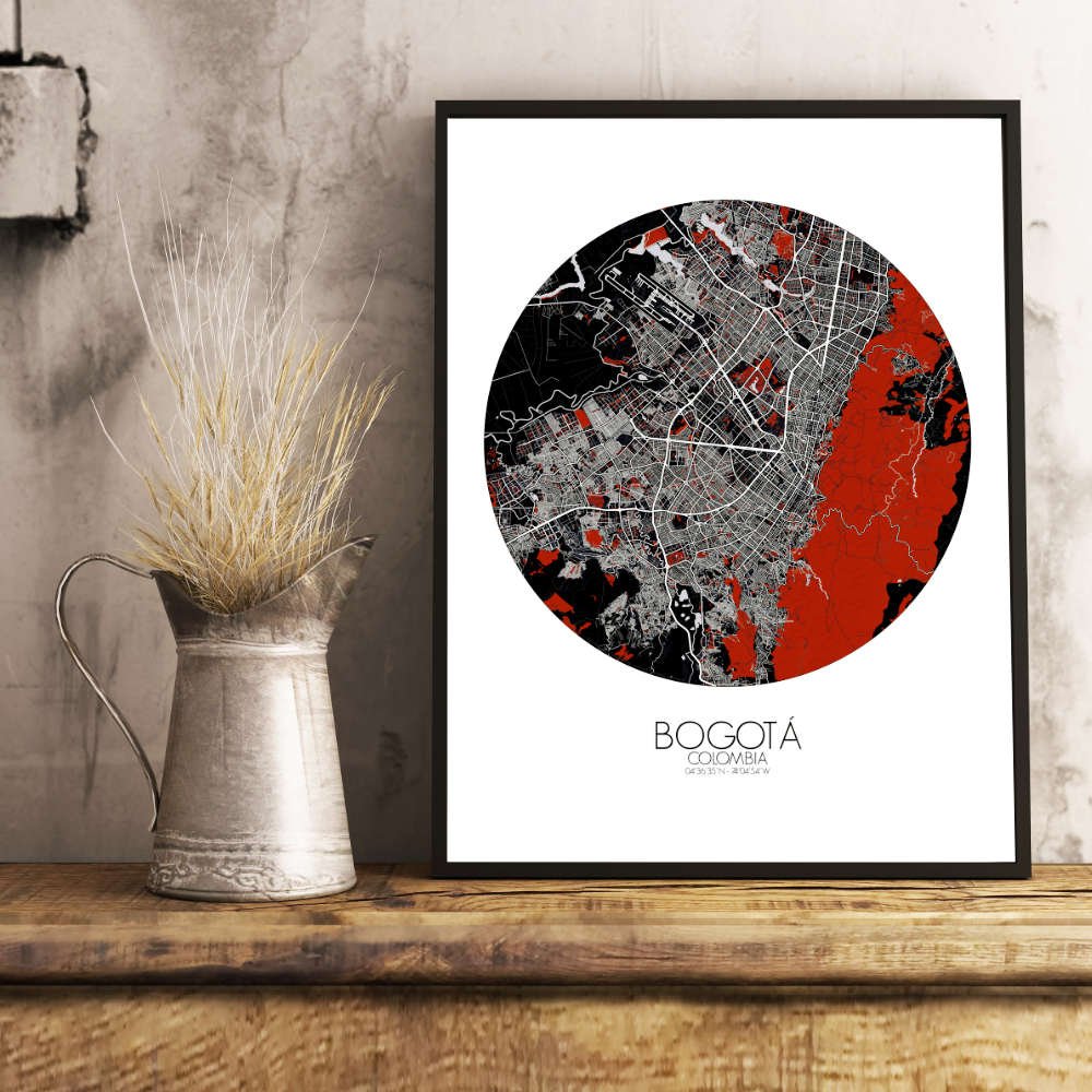

Poster City map of Bogota, Colombia: Whether you’re admiring the iconic gold museum, Museo del Oro, or the vibrant street art that decorates many of the city’s walls, every corner of this map tells a story of a city that’s as much about its people as it is about its land.
At the foot of the Andes Mountains, Bogotá’s unique location at 2,640 meters (8,660 feet) above sea level gives the city its dramatic backdrop of rugged peaks and sweeping valleys. This map beautifully captures the undulating terrain, where the land rises and falls like the notes of a well-played symphony, making the city’s layout a true marvel for the eyes. At the heart of the city, you’ll find the historic district of La Candelaria, a charming labyrinth of cobblestone streets, colonial buildings, and colorful murals. This area is steeped in the stories of Bogotá’s past, from the days of indigenous civilizations to the colonial era and beyond. Surrounding this historic core, lush greenspaces like the famous Simón Bolívar Park offer a refreshing contrast to the bustling city streets. It’s here you can wander through wide, tranquil gardens or simply enjoy the sight of the majestic Andes rising in the distance. The iconic Monserrate, perched high above the city, is a standout feature on the map, offering both a spiritual retreat and panoramic views of the entire city below. The legend has it that this hill has been a site of pilgrimage for centuries, with locals and visitors alike ascending the heights to experience both the breathtaking vistas and the serene sanctuary at its peak.