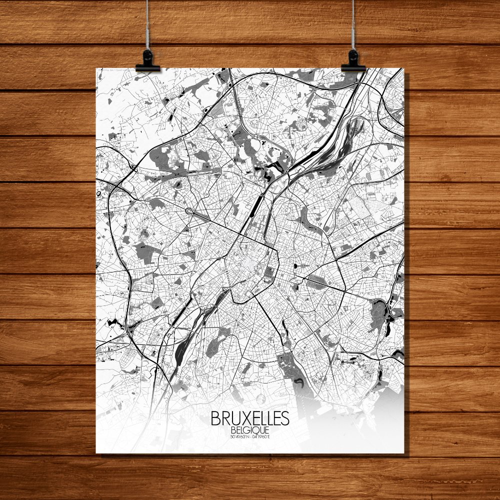
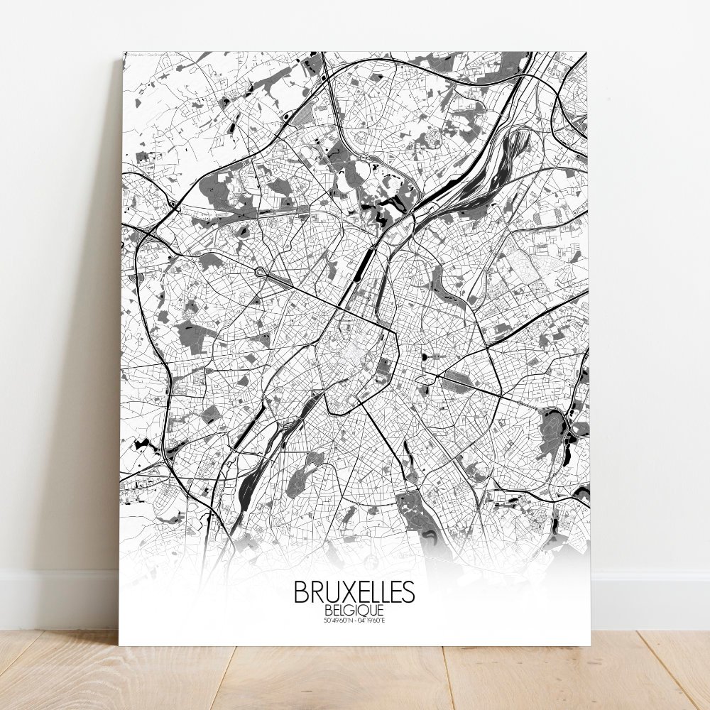
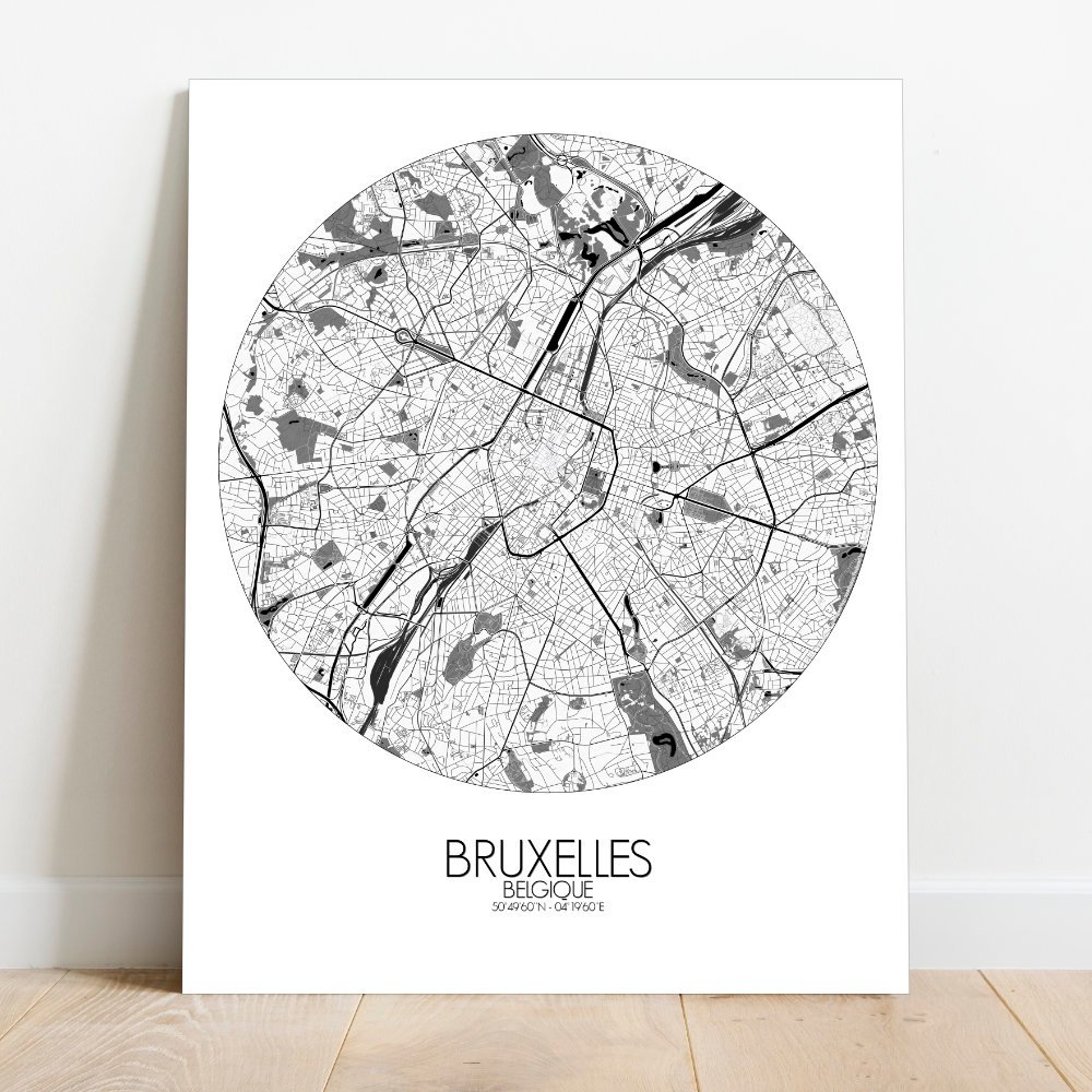
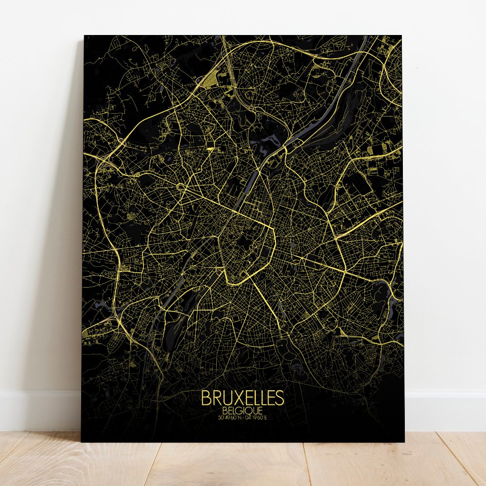
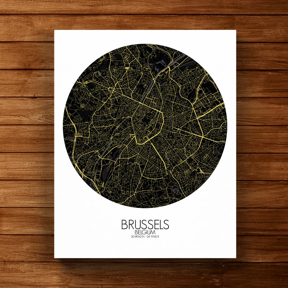
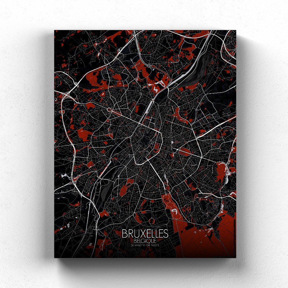
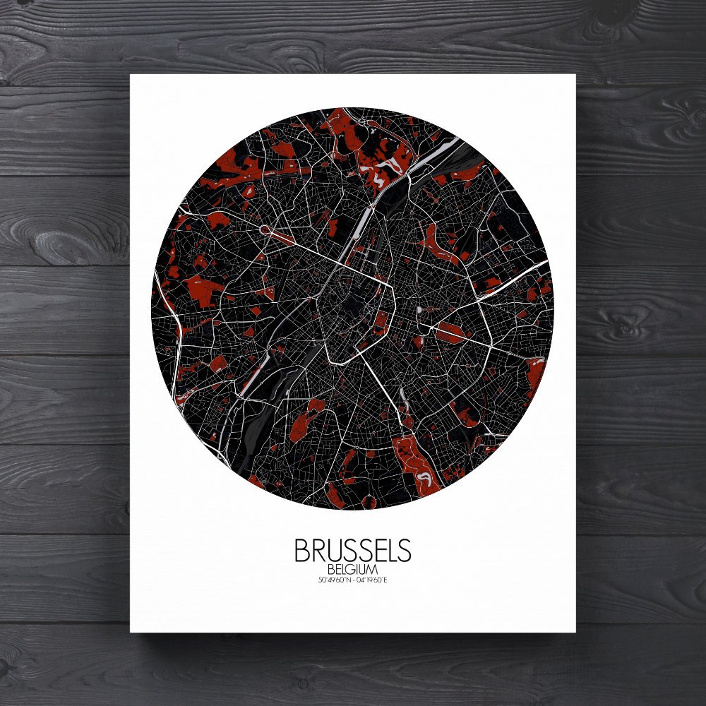
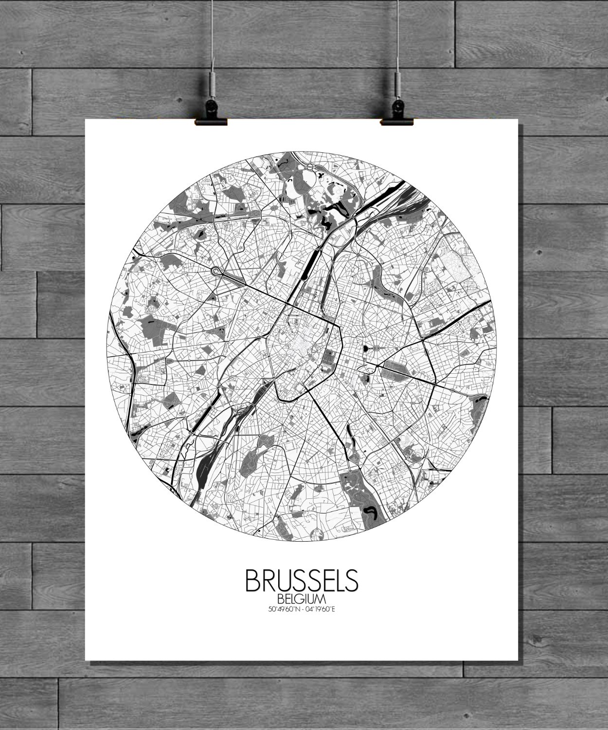
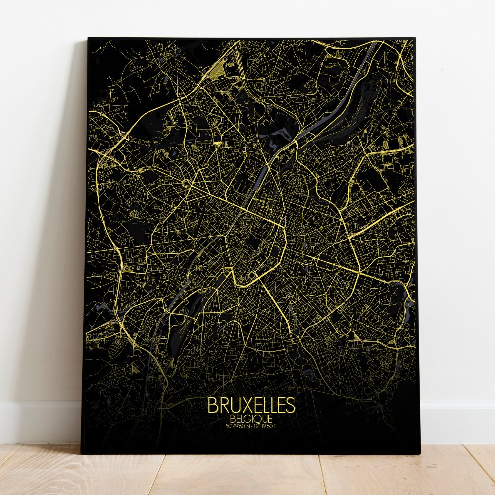
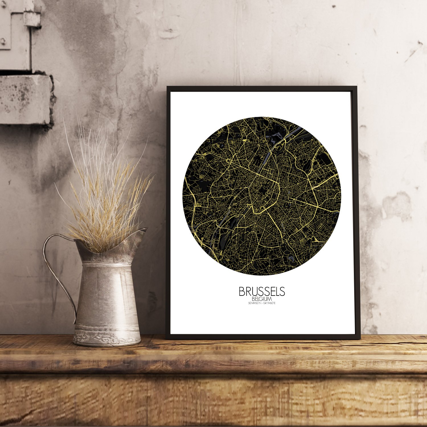
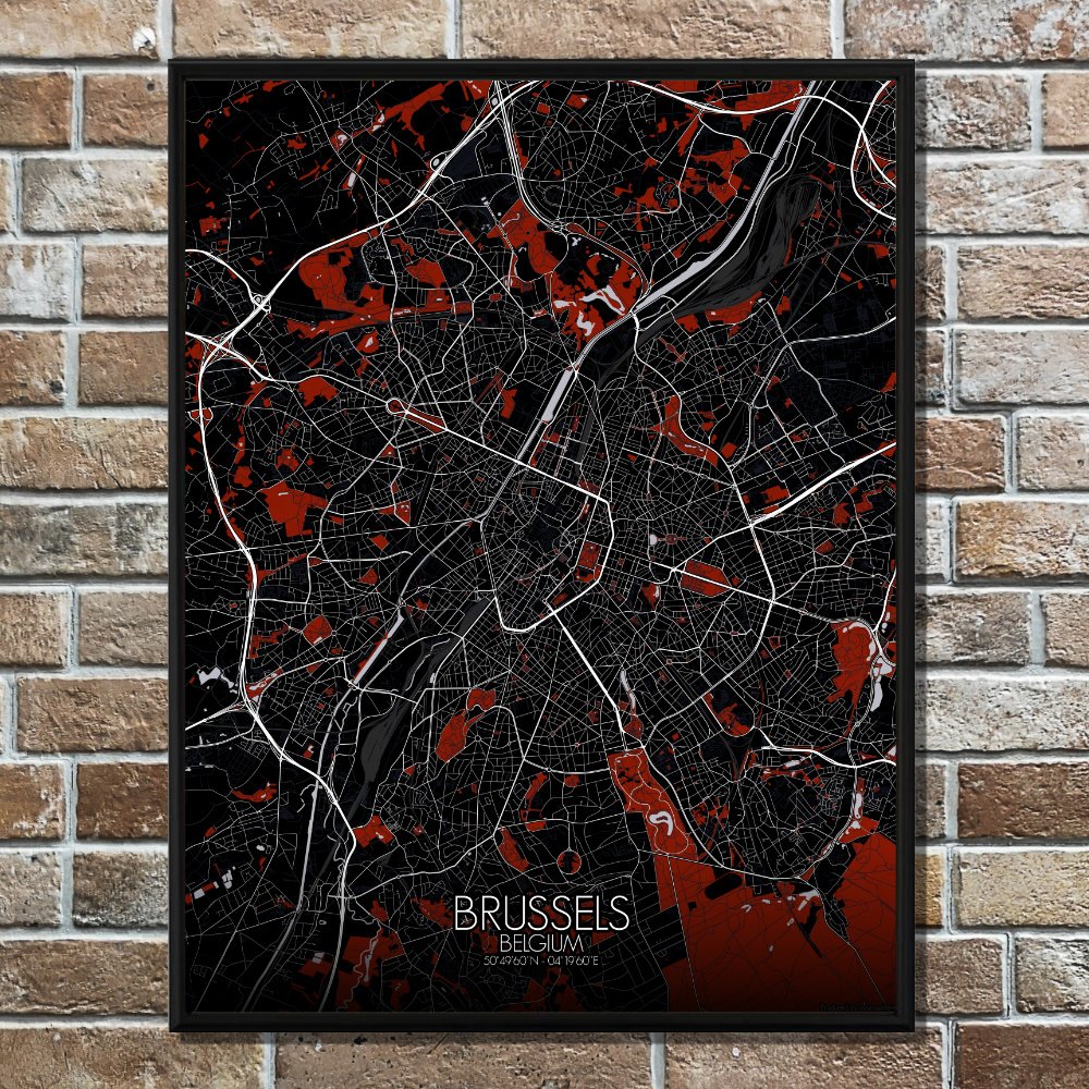
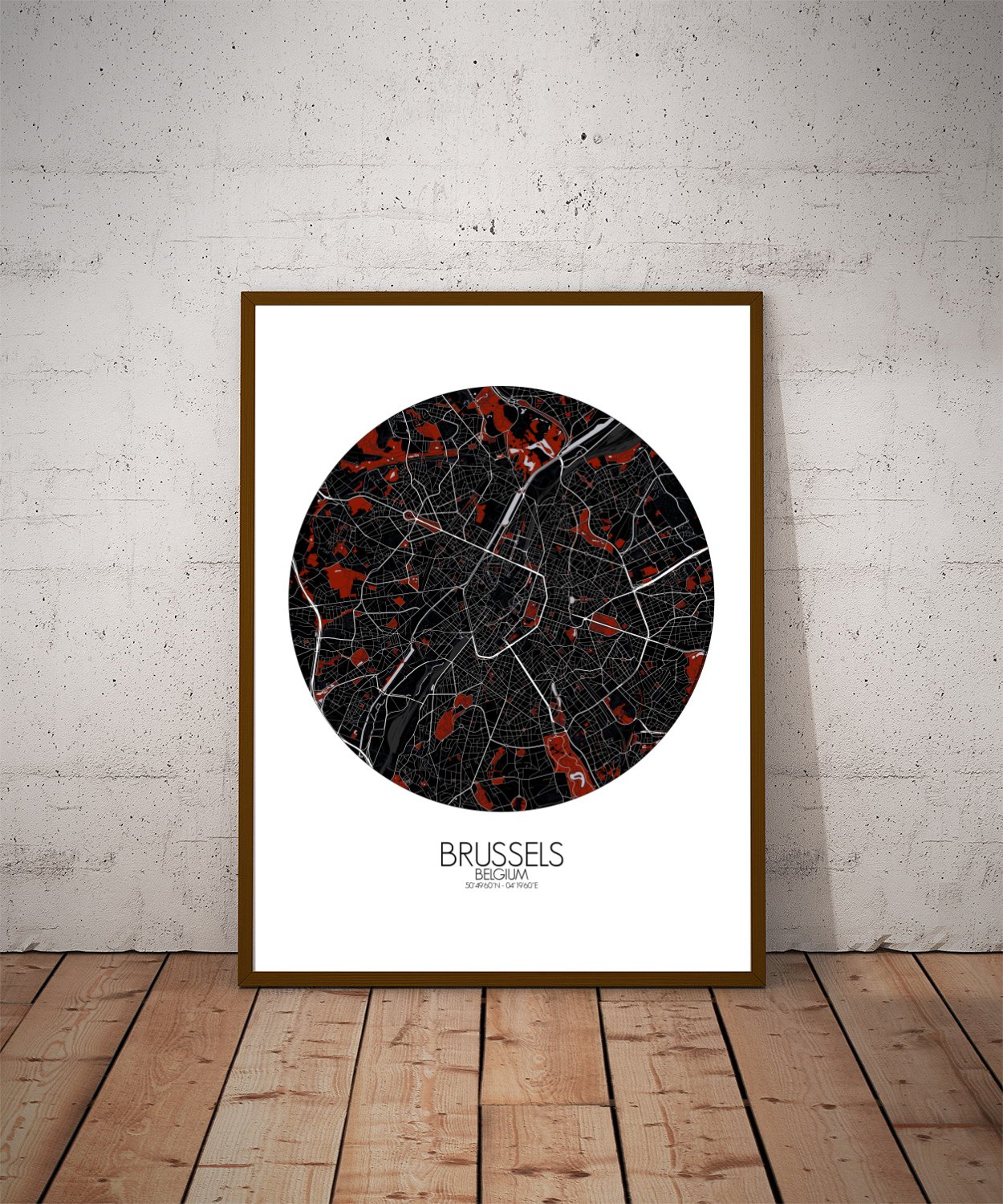
Poster City map of Brussels, Belgium: Set gently among the hills of the Senne valley, Brussels is a city that seems to rise and fall like an old tune—one you almost remember.
This map captures the quiet undulations of the landscape, showing how the Belgian capital leans into its ridges and rolls, giving shape to its grand boulevards, leafy parks, and crooked alleys that whisper stories in three languages. The city’s heart beats around the Grand Place, where gold-tipped gables gleam like a crown. From there, the map stretches out to reveal a patchwork of neighborhoods, stitched together by cobbled roads and tram lines. The Bois de la Cambre fans out in the south like a green sigh at the edge of the city, while Parc du Cinquantenaire, with its triumphal arch, stands proudly as if still waiting for a parade. Geography here isn’t just backdrop—it’s part of the drama. The city slopes from the Upper Town, where kings and counts once paced marble halls, down to the Lower Town, where merchants haggled and mischief brewed. Even the Atomium, that curious giant silver molecule, gleams on the horizon like a leftover prop from a 1950s science tale. This map doesn’t just show you Brussels—it lets you wander through it. Trace the river’s old path, follow the green ribbons of the parks, or find where medieval walls once stood. Hang it on your wall and you might find yourself dreaming of waffles, wandering philosophers, and that odd little boy with the fountain.