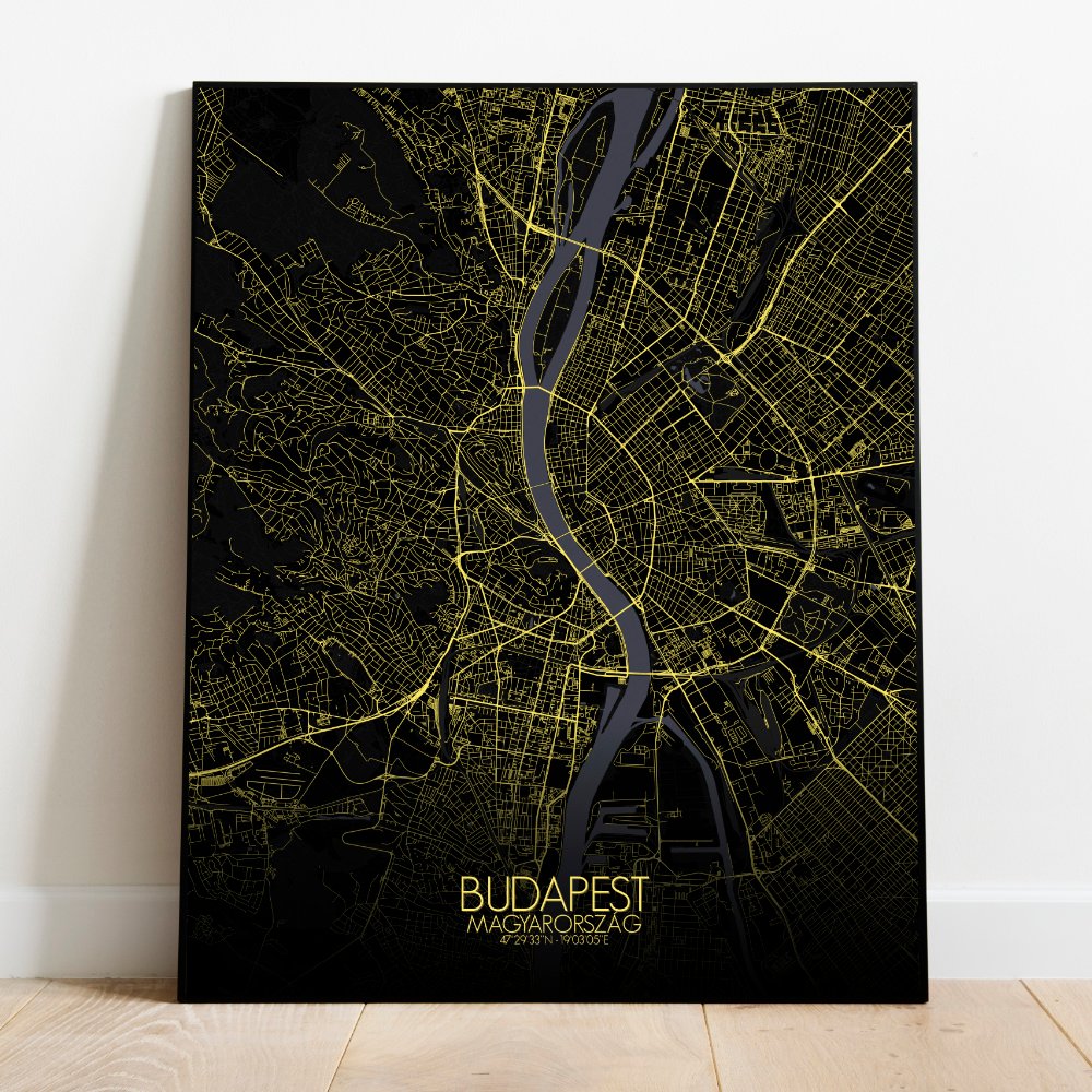
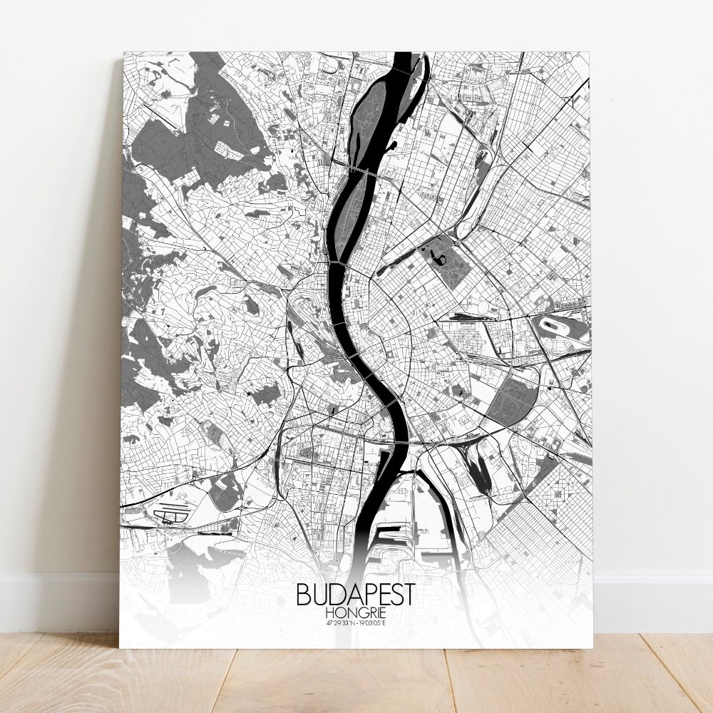
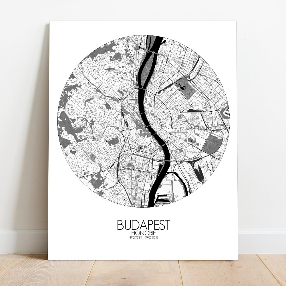
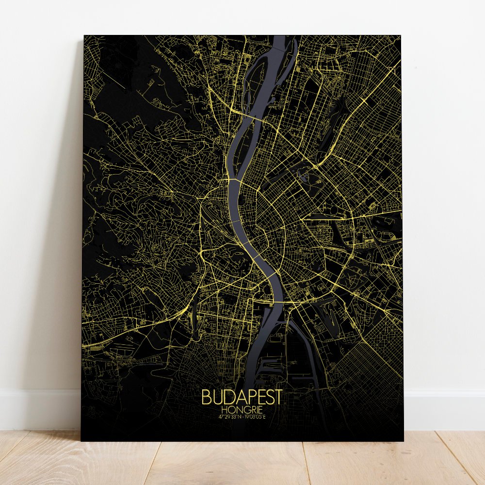
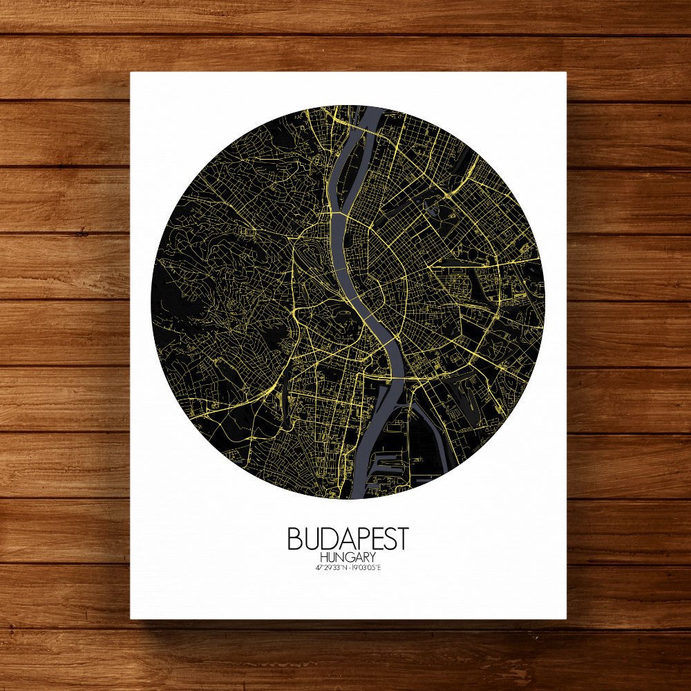
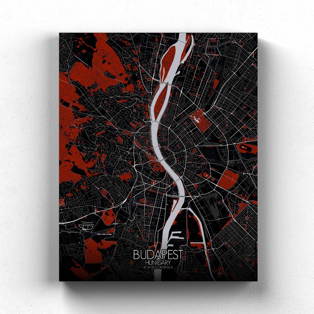


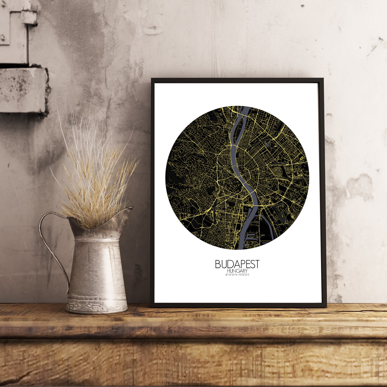
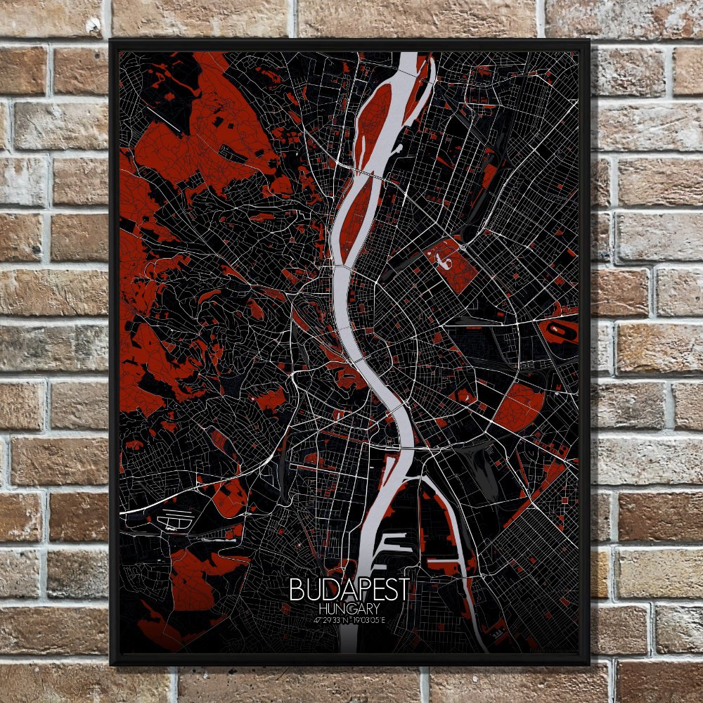
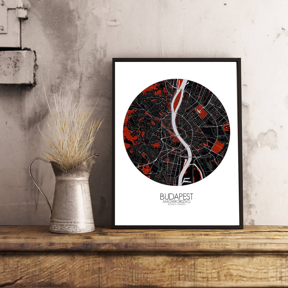
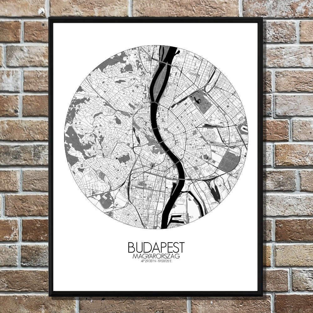
Poster City map of Budapest, Hungary: Every contour of this map tells a tale — of Roman legions, Ottoman baths, coffeehouses full of thinkers, and legends whispered into the cobblestones.
Behold Budapest, a city where hills rise like old kings watching over their kingdom, and the Danube winds through it like a silver ribbon tying east to west. This map captures the city’s terrain in all its proud, uneven glory — from the steep, wooded heights of Buda to the flatter, bustling stretches of Pest. You’ll spot Gellért Hill, stubbornly green and dramatic, as if it were built just to make sunsets more interesting, and the Buda Hills rolling behind like nature’s own fortress. The Danube slices through the middle, just as it always has, dividing not only land but personalities: quiet and leafy on the western bank, bright and busy on the eastern one. Along the river, the landmarks play their part — Buda Castle perched like a storybook palace, the Parliament building standing tall in its Gothic lace, and the Chain Bridge linking both sides like a handshake that never ends. Parks and green patches soften the map, reminding you that even emperors needed a good picnic. Margaret Island floats in the river, peaceful and tree-filled, a place where poets once strolled and maybe still do. On the Pest side, City Park sprawls with its lazy charm and old zoo, while the avenues stretch out in a pattern that only makes sense if you squint.