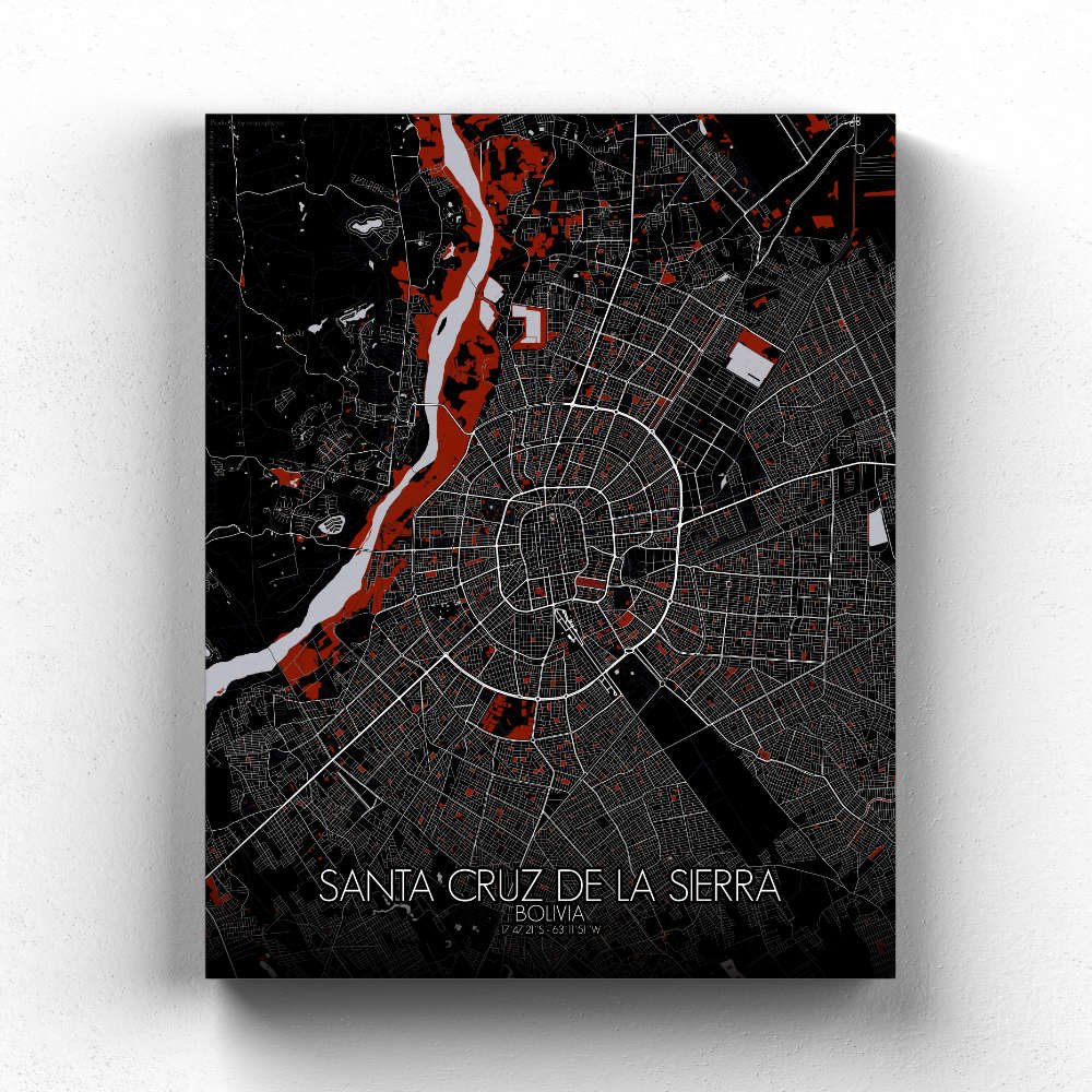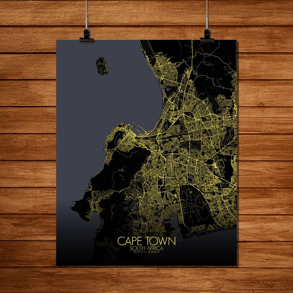
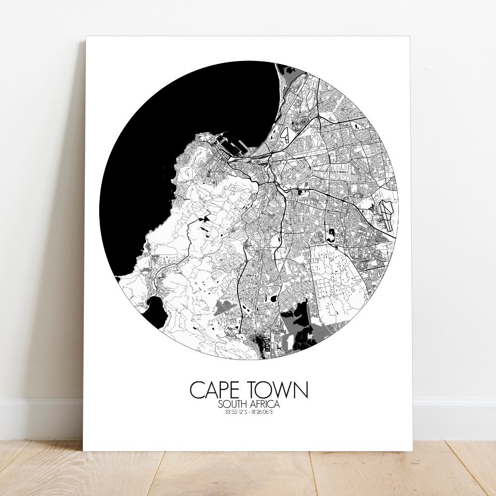
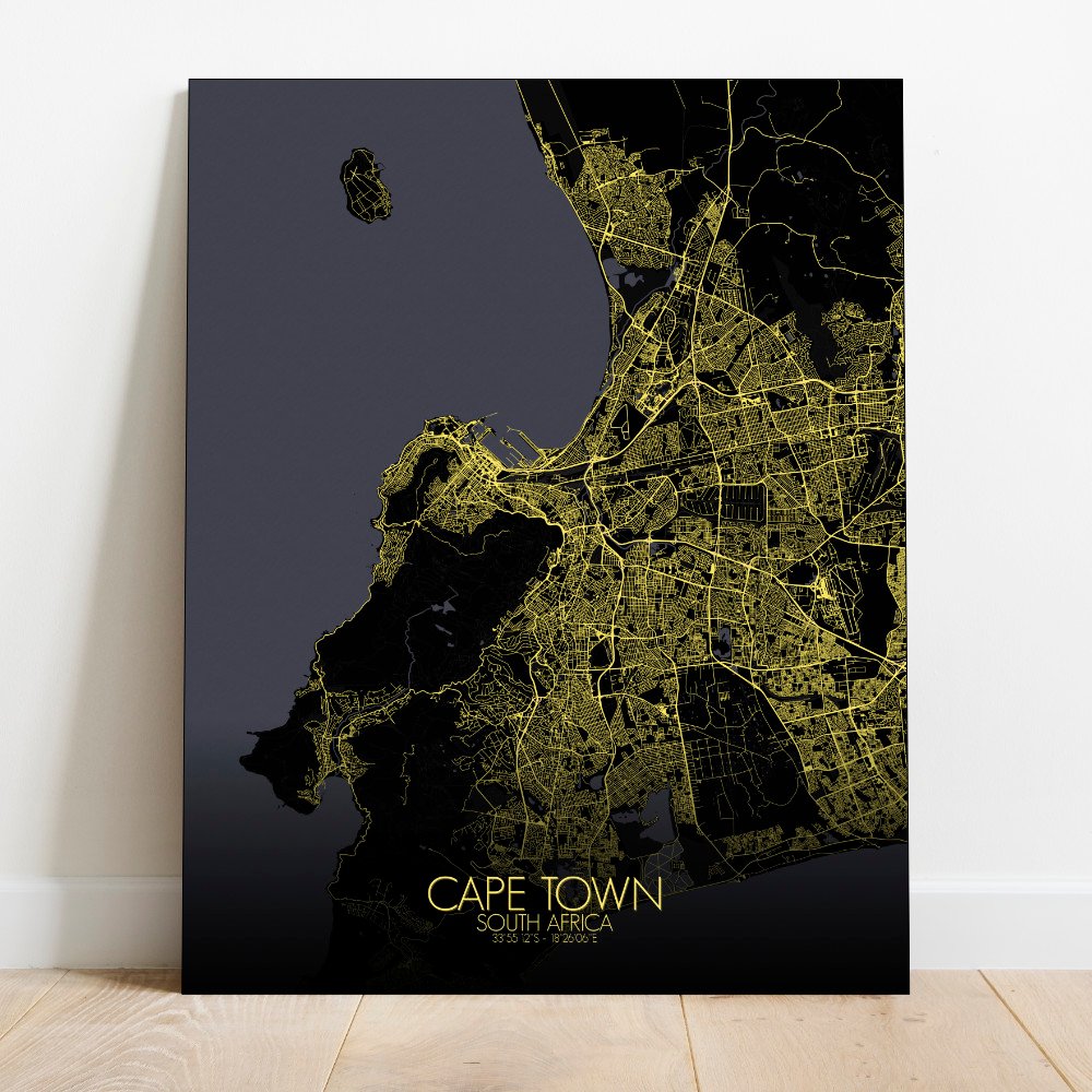
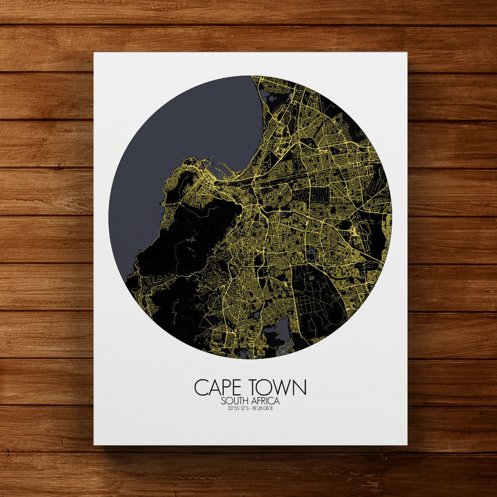
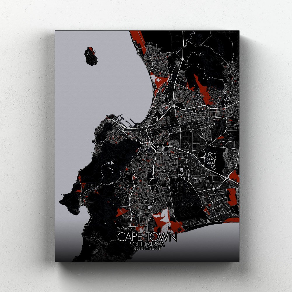
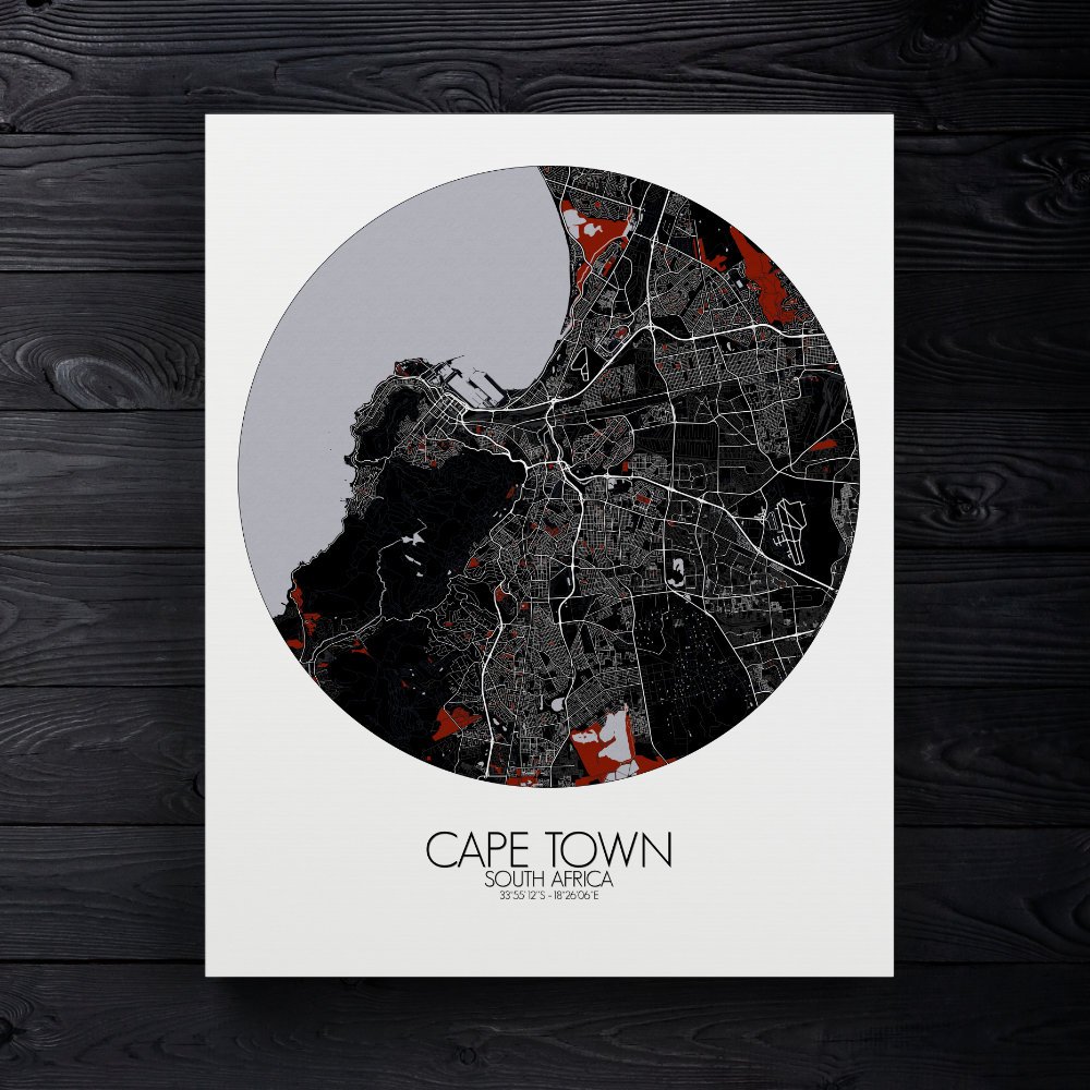
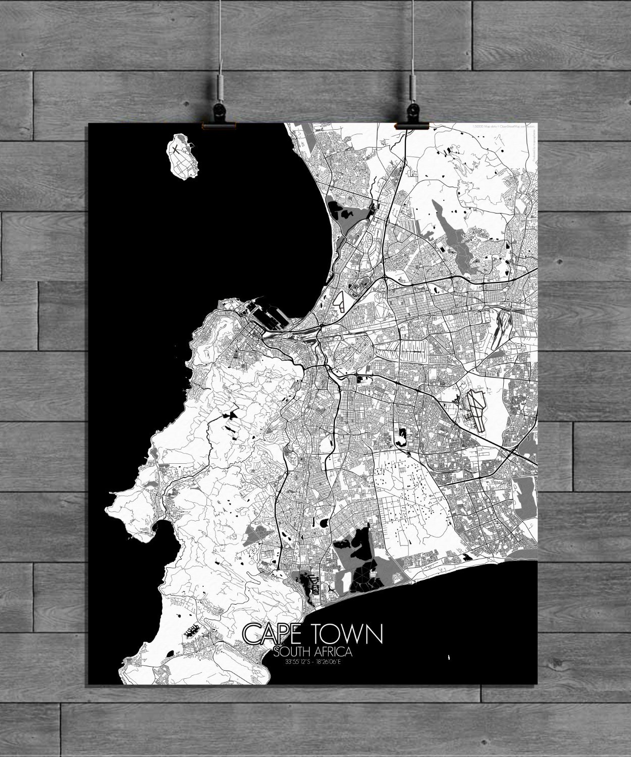
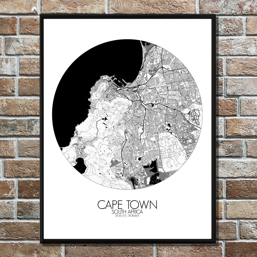
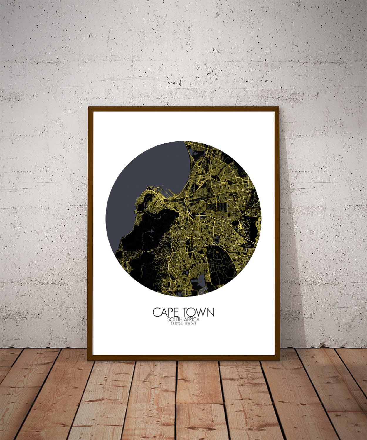
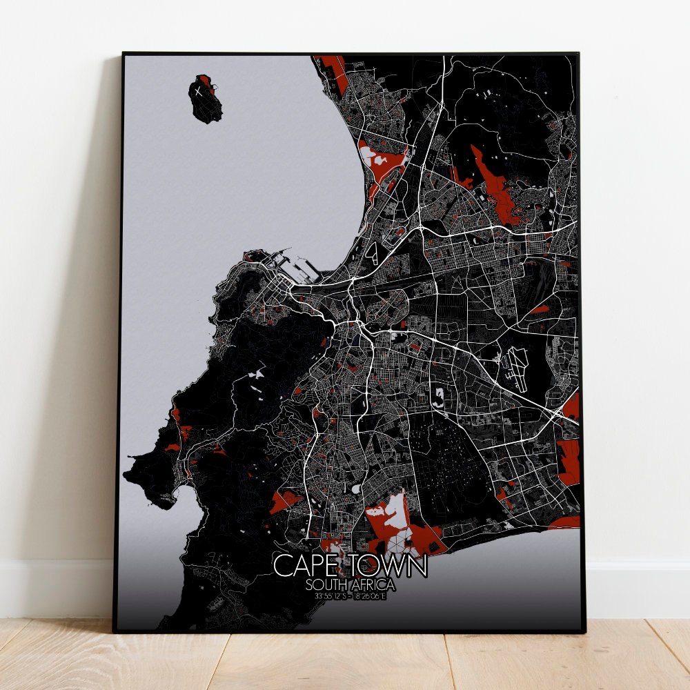
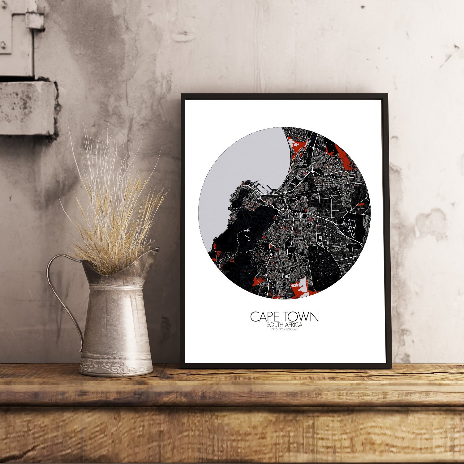
Poster City map of Cape Town, South Africa: Set beneath the watchful cliffs of Table Mountain, Cape Town unfolds like a quiet story whispered by sea and stone.
This map of the city brings to life its dramatic terrain, where the Atlantic Ocean hugs a rugged shoreline, and the land rises suddenly into folds and peaks, as if nature herself had a flair for theatrics. You’ll trace the green ribbon of Table Mountain National Park stretching across the spine of the peninsula, flanked by Devil’s Peak and Lion’s Head—two mischievous siblings, if local tales are to be believed, always caught in some ancient argument over who stands taller. The map doesn’t just follow roads; it breathes with the city’s natural rhythms. From the wide, leafy avenues of the Company’s Garden—first planted by Dutch settlers in the 1600s—to the neat bowl of the City Centre below, the layout reveals how Cape Town was built not only by people but also by wind, weather, and waves. Signal Hill curls out toward the ocean like a storyteller pointing toward Robben Island, a tiny dot on the sea that once held big secrets behind bars. Greenspaces ripple through the map like resting places between bustle and beach. Kirstenbosch Botanical Garden appears at the foot of the mountain, where fynbos and ancient cycads grow like something out of a forgotten legend.