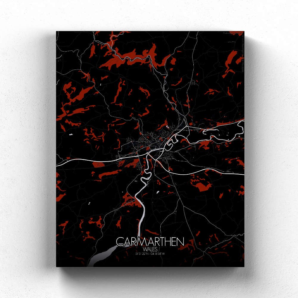
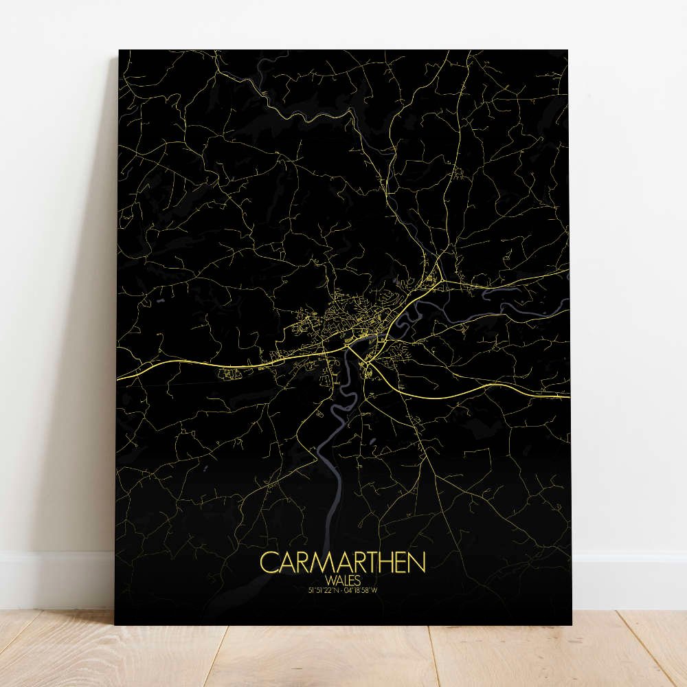
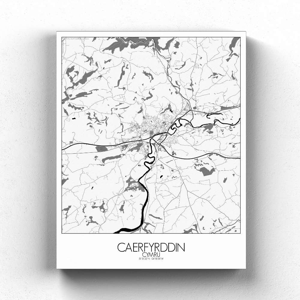

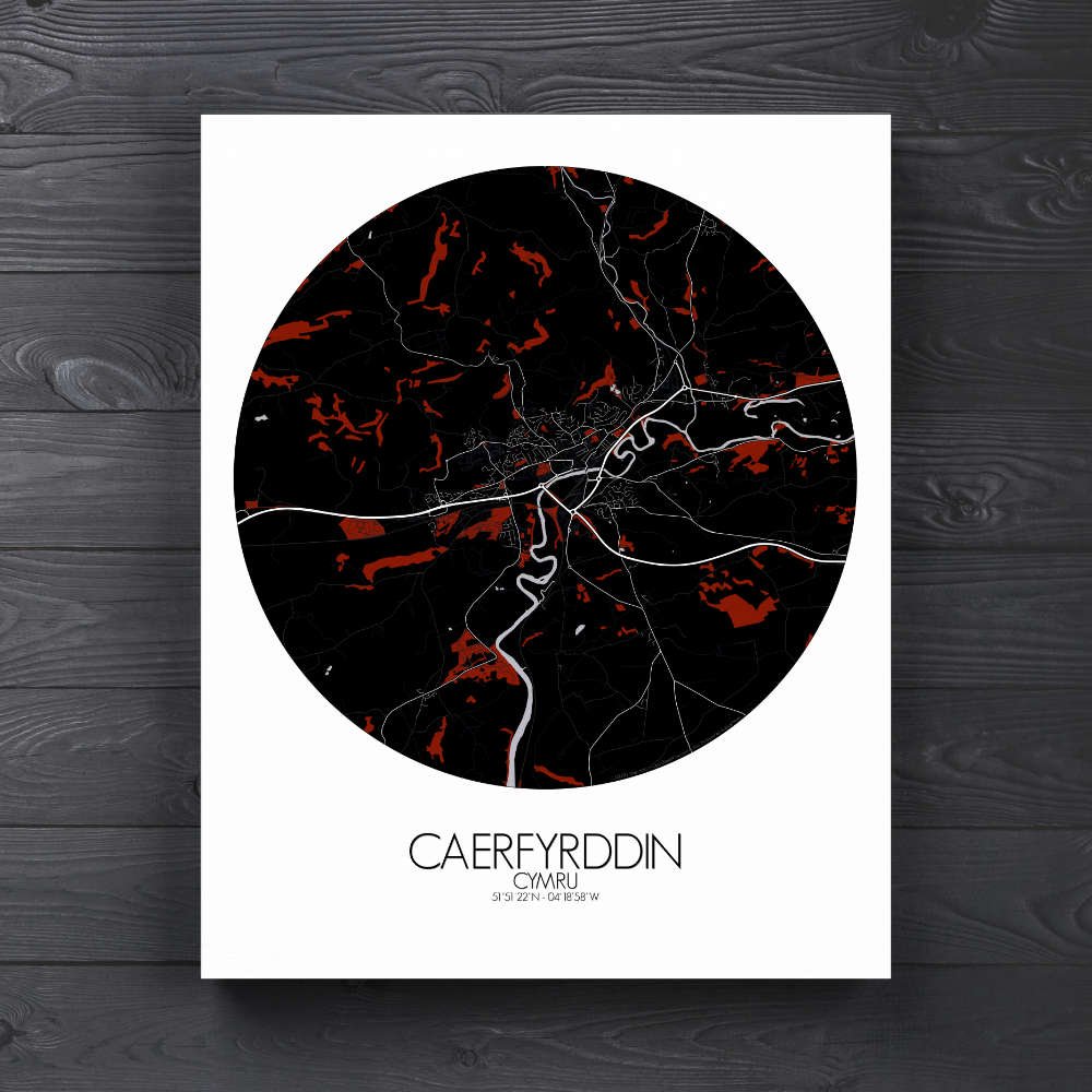
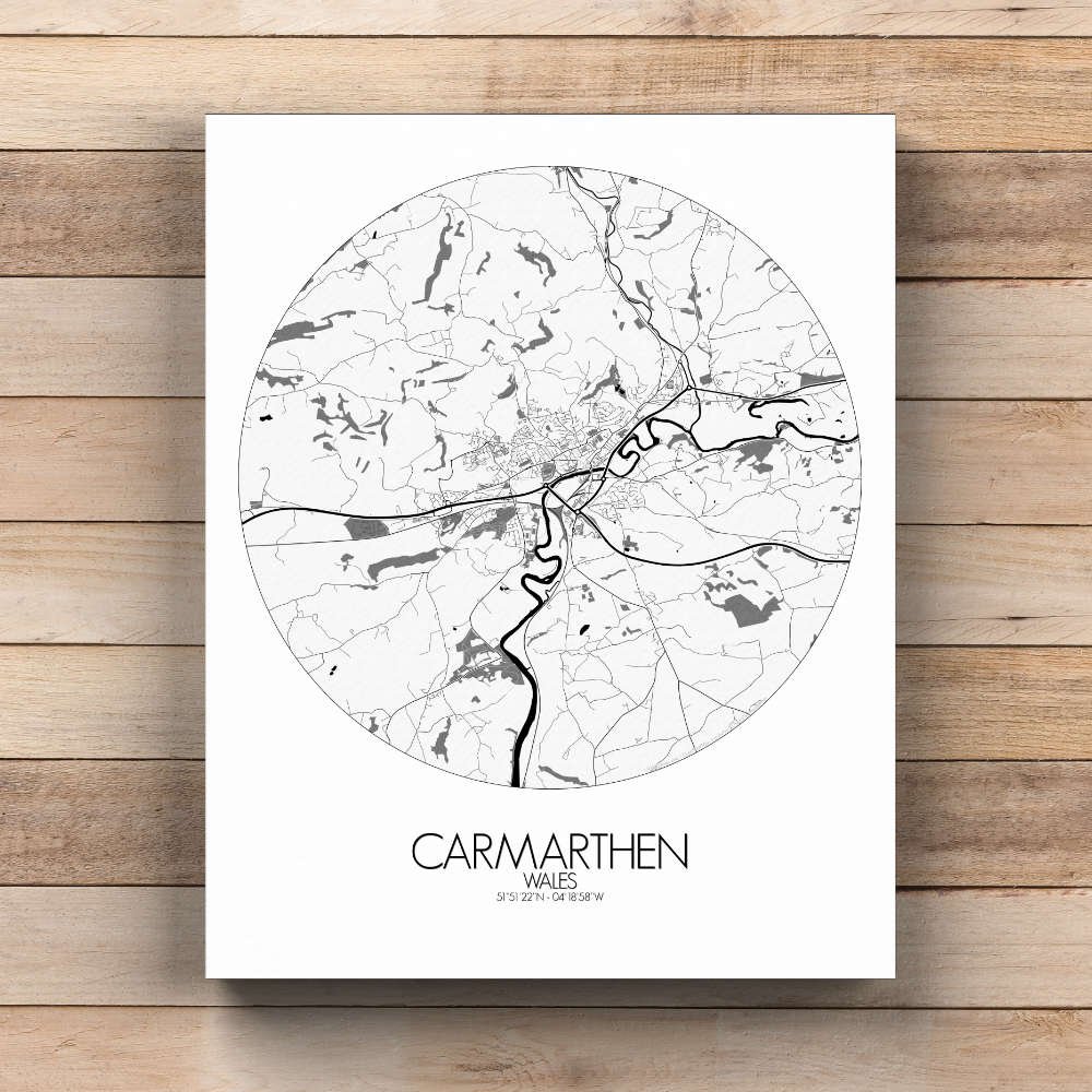
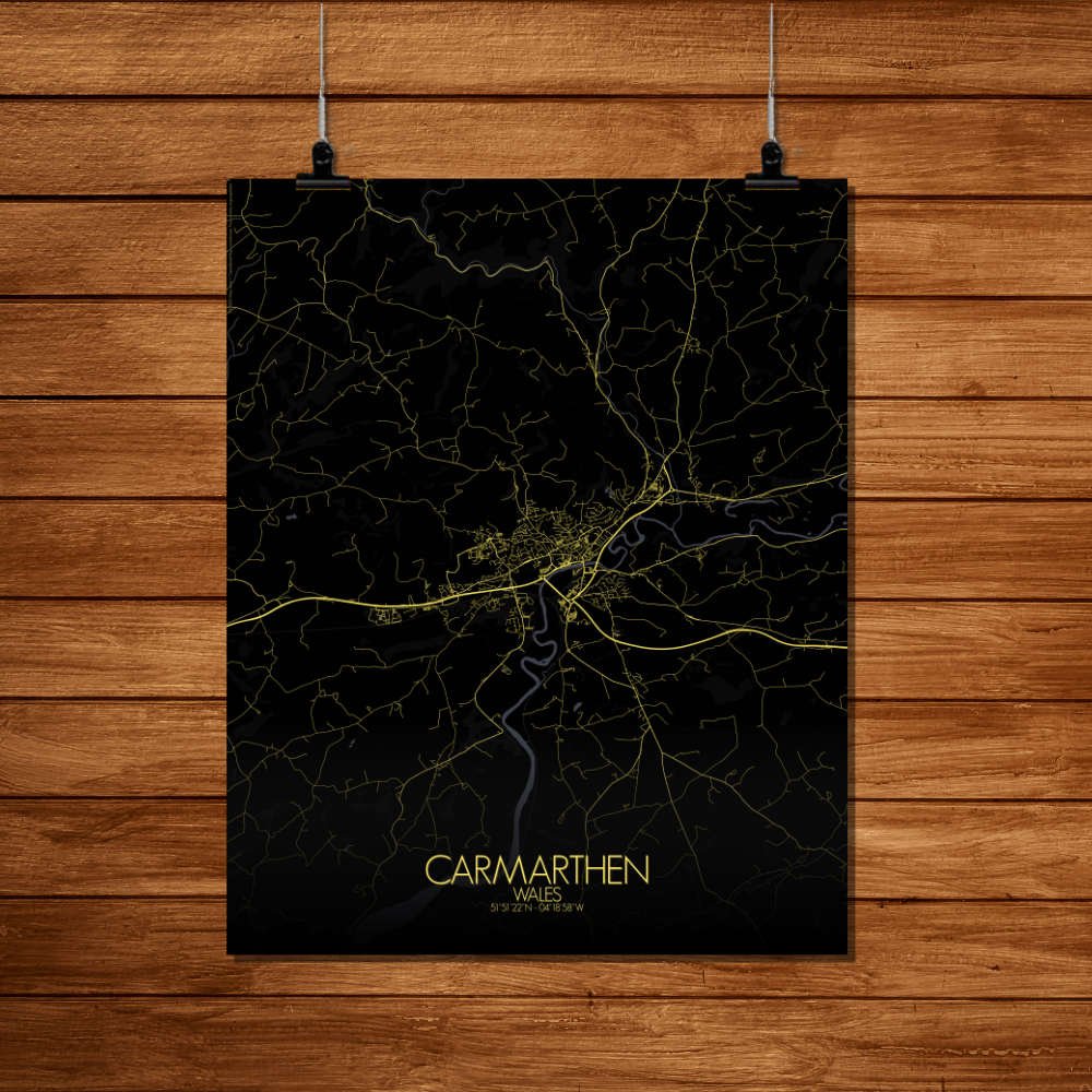
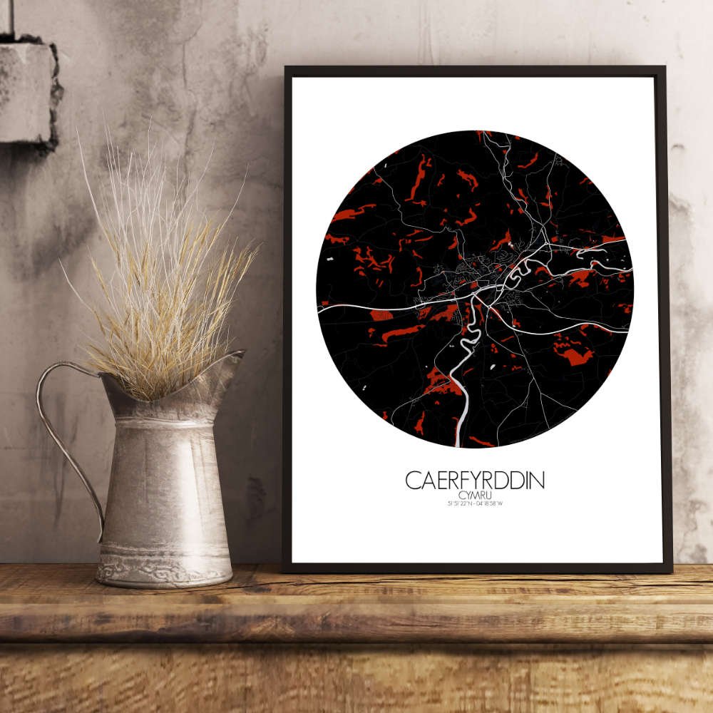
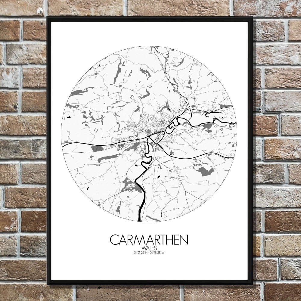
Poster of Carmarthen, Wales (City Map) : a mix of modern shops and historic buildings that tell stories from its Roman and Norman past.
This beautifully detailed map of Carmarthen offers a charming glimpse into one of Wales’ oldest and most storied towns, where the rolling hills of the Welsh countryside meet the meandering banks of the River Towy. The map showcases the gentle undulations of the landscape, with the green hills and valleys of Carmarthenshire giving the town a sense of calm and timelessness. The river, winding gracefully through the heart of the town, is a key feature, its flow symbolizing the town’s deep connection to both history and nature. It’s hard not to imagine the ancient Celts, who are said to have settled here, gazing out across this same river over two thousand years ago. The topography of Carmarthen comes alive in this design, with the hills to the north creating a natural backdrop to the town, while the flatlands to the south stretch out toward the sea. The large green swath of the King’s Park, just south of the town center, provides a breath of fresh air amidst the bustle of daily life, while the smaller, more intimate spaces like the tranquil grounds of St. Peter’s Church add layers of serenity to the town’s character. At the heart of Carmarthen, the imposing silhouette of the medieval Carmarthen Castle—now a ruin—stands proudly against the skyline, an enduring reminder of the town’s role as a strategic stronghold in centuries past. The castle, though much diminished, still holds an air of mystery, and according to legend, was once the site of the famous wizard Merlin’s birth. Who knows—perhaps there’s still a bit of magic lingering in the streets!