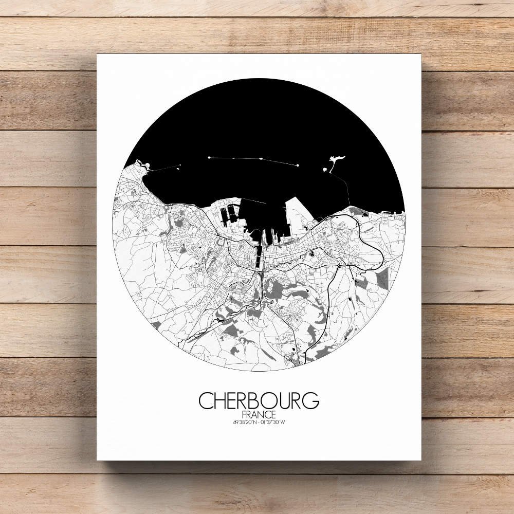
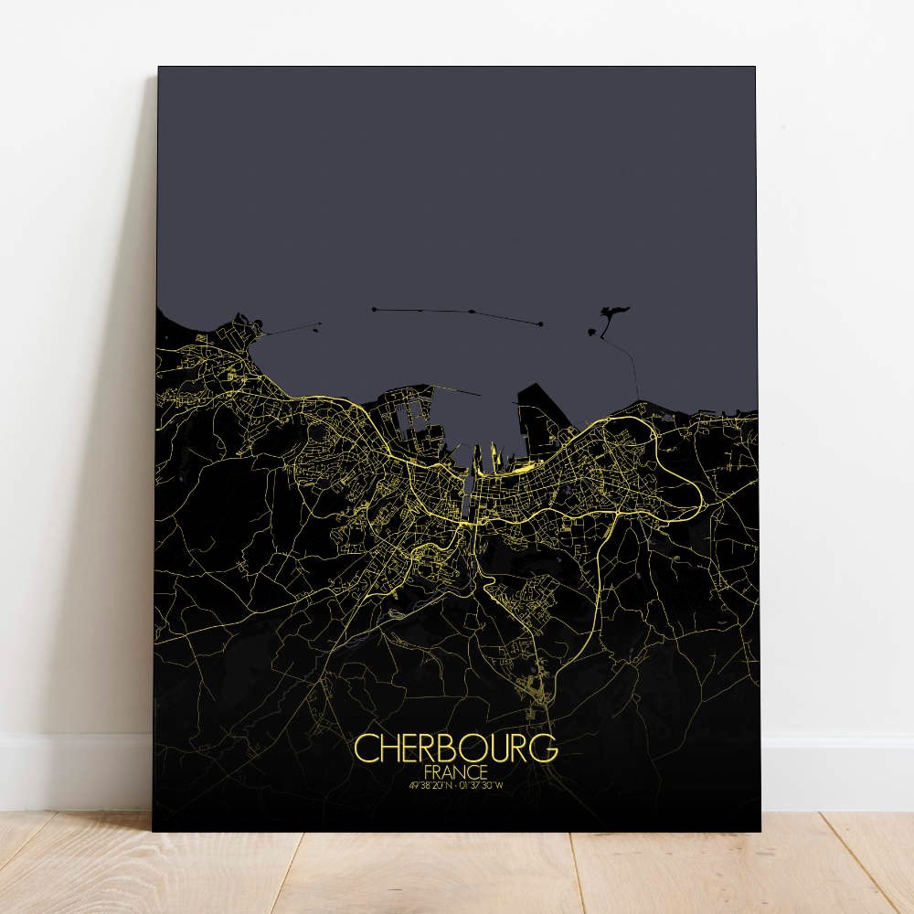

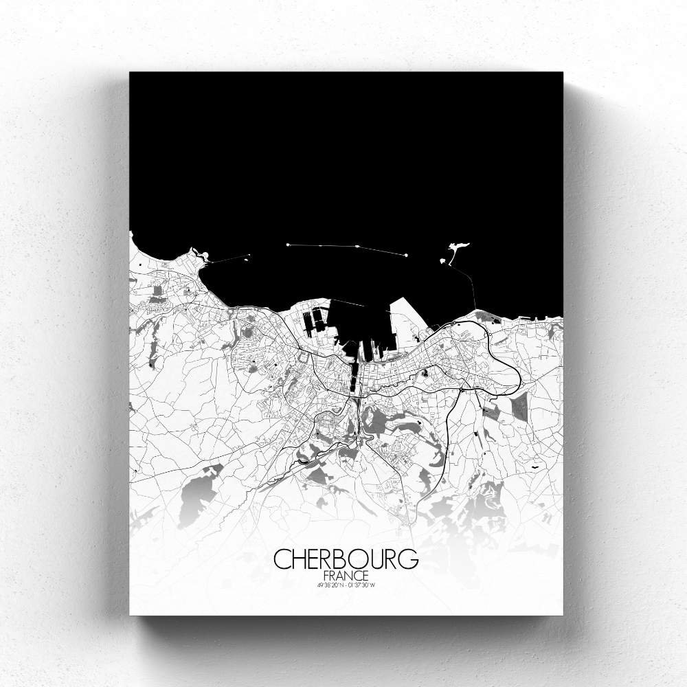
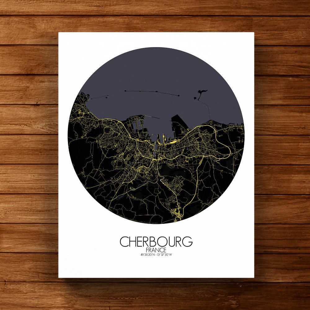
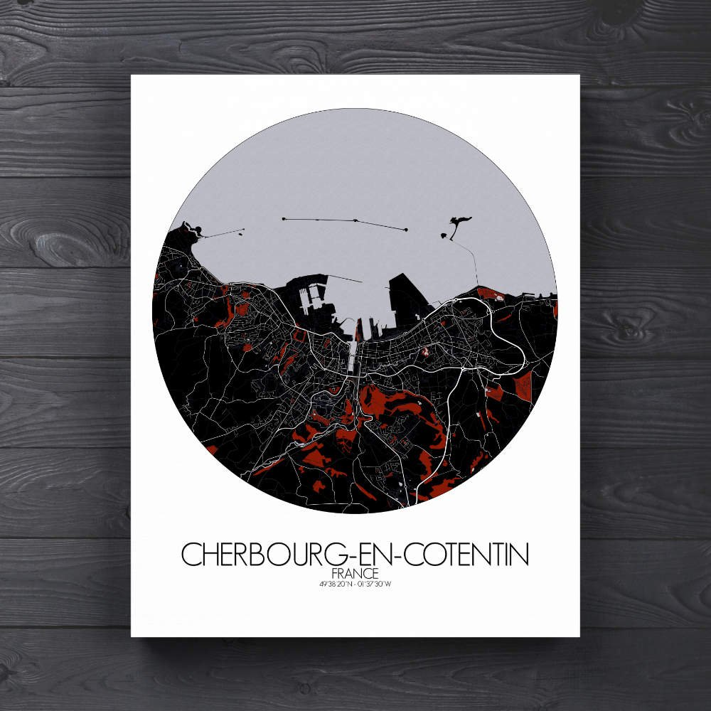
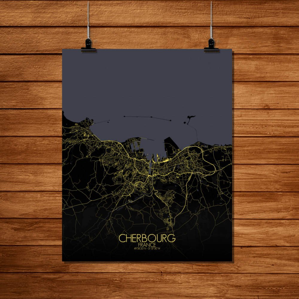
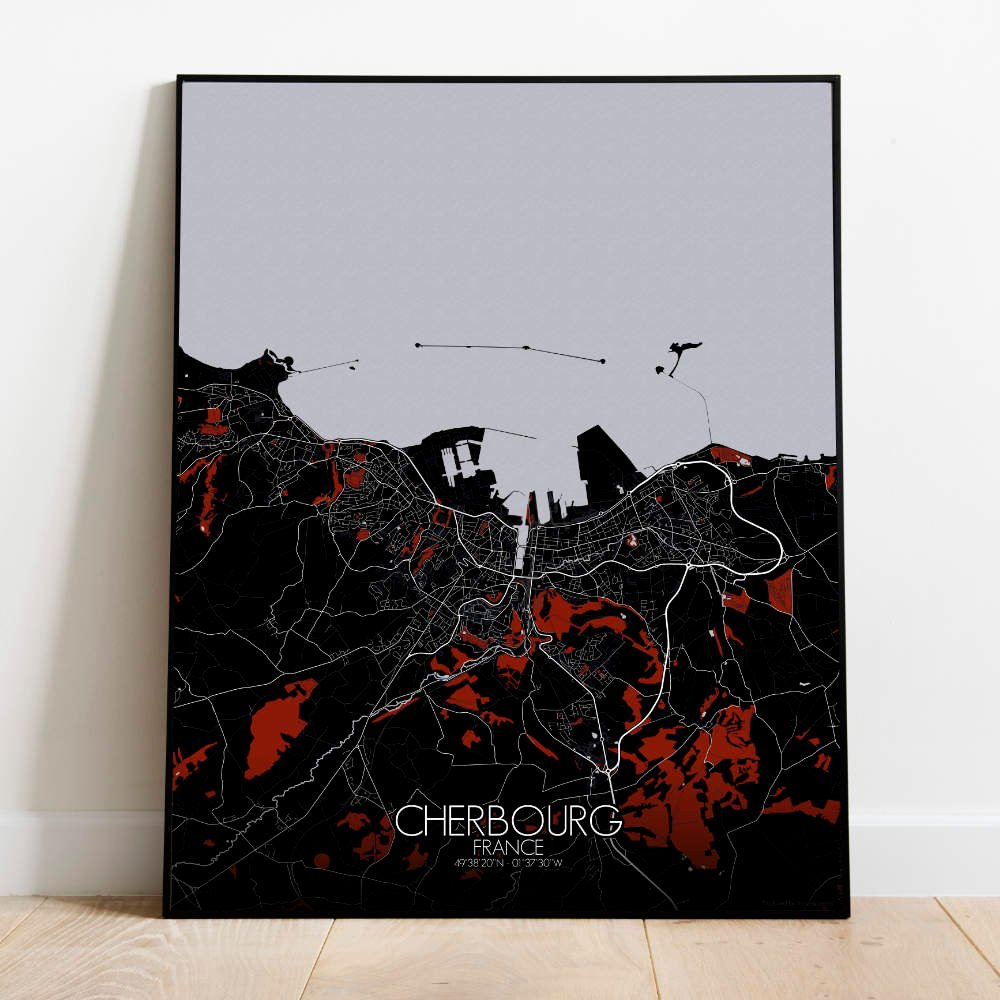
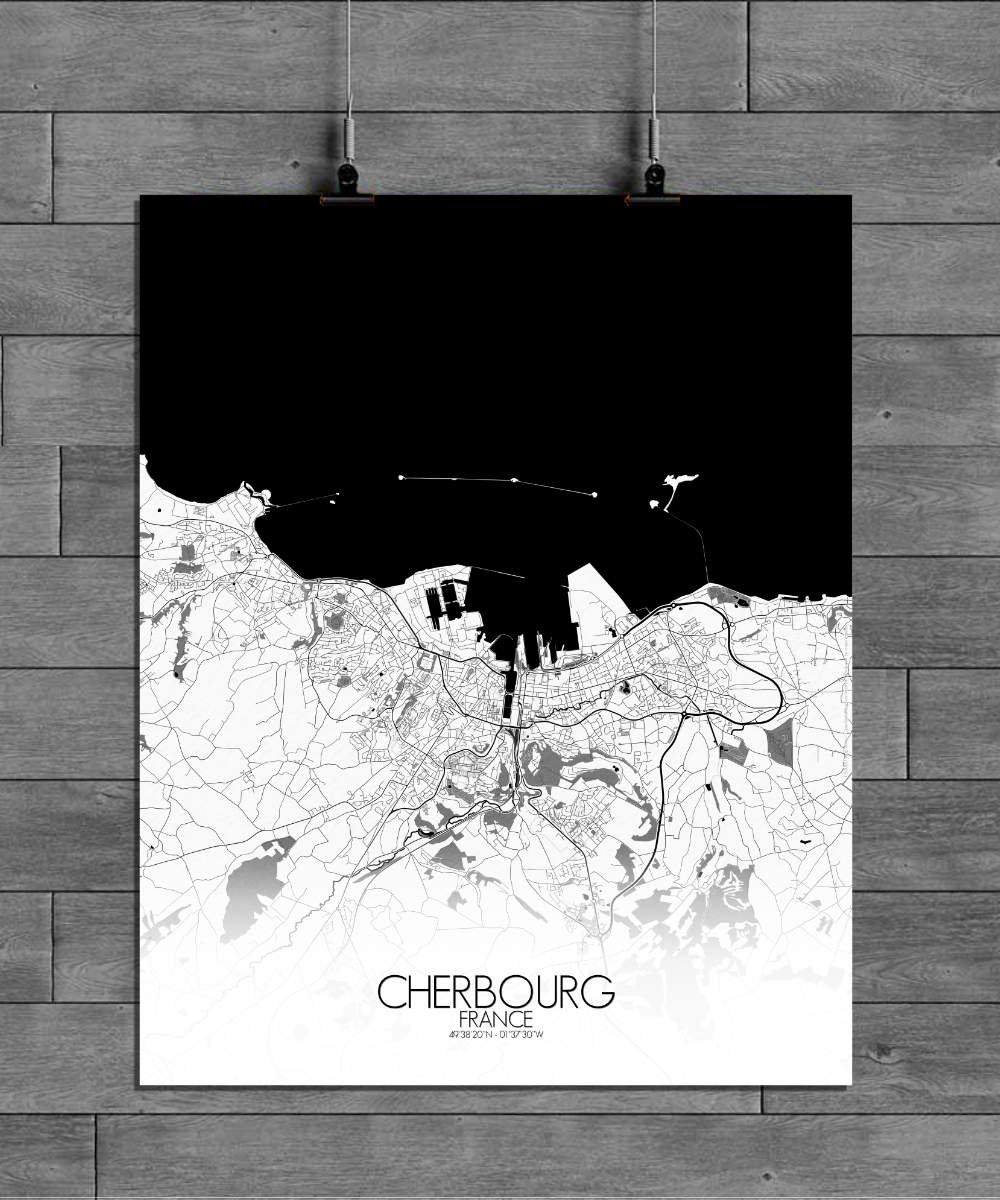
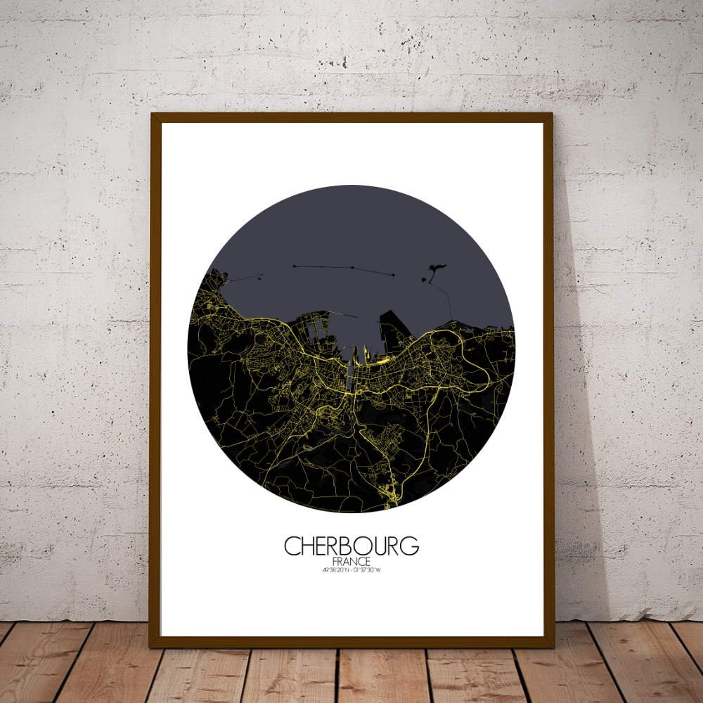
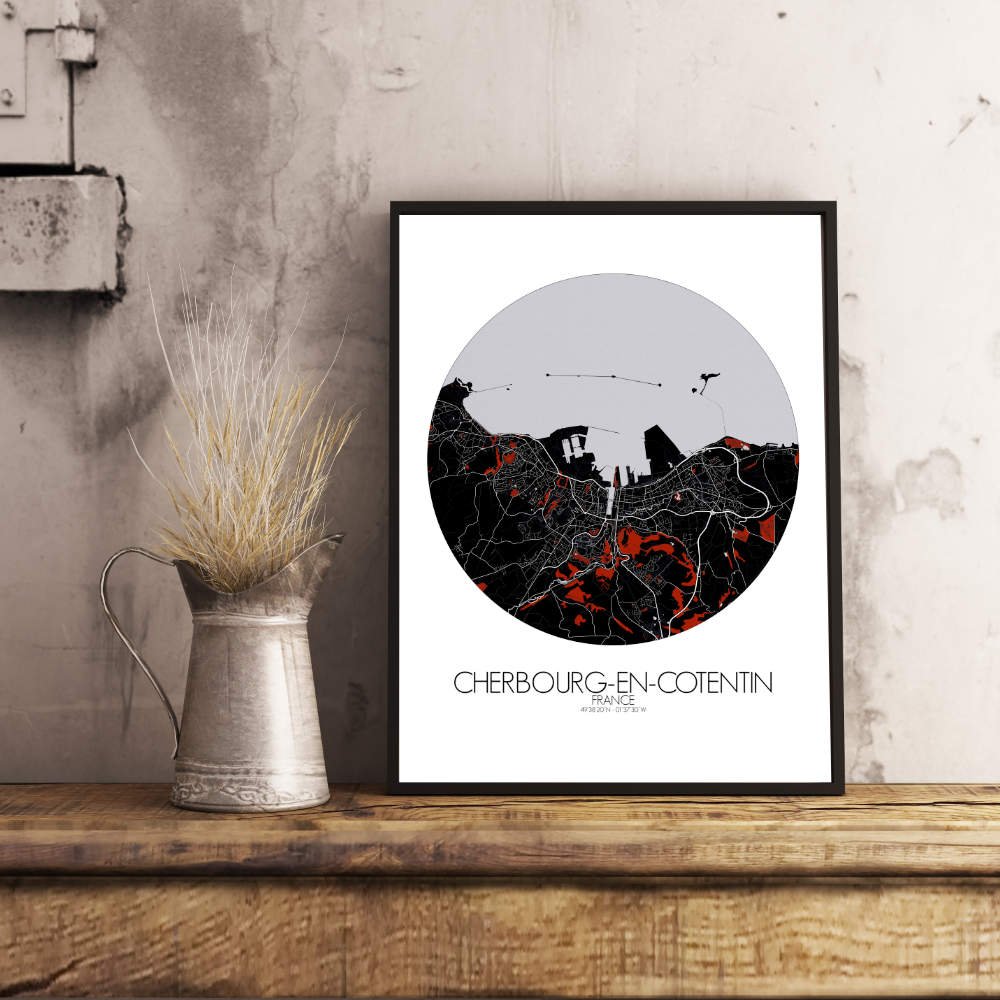
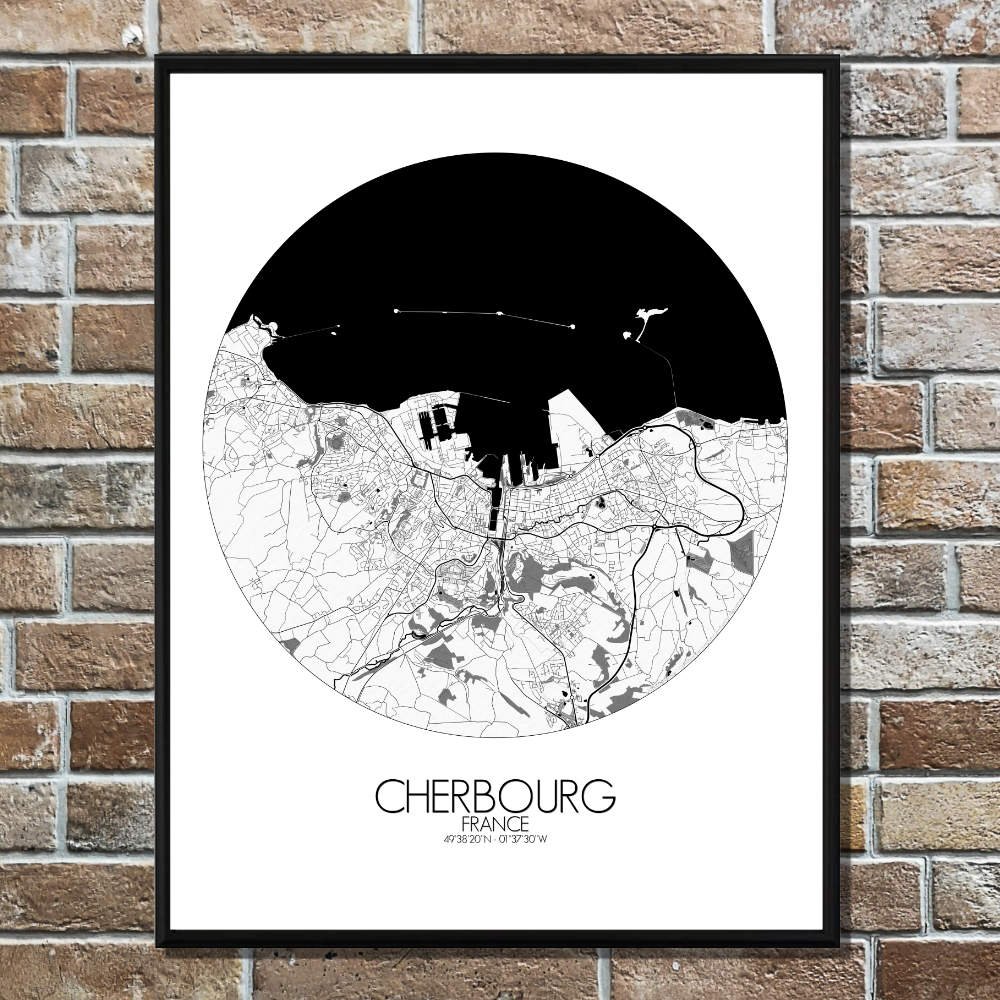
Poster City map of Cherbourg, France: it offers a unique blend of coastal charm and rich history, making it an intriguing piece for any wall.
The City map of Cherbourg, nestled in the northern tip of France’s Cotentin Peninsula, is surrounded by the rugged cliffs of the Cotentin, and Cherbourg’s landscape is defined by its natural harbor, one of the largest in Europe. The map reveals the intricate curves of the coastline, where the land meets the sea in dramatic fashion, with the large bay gently cradling the heart of the city. The Parc de la Cité is offering an oasis of greenery amidst the urban bustle, and nearby, the Parc Emmanuel Liais showcases a blend of botanical beauty and scenic views. These greenspaces contrast with the industrious spirit of Cherbourg, once a major naval base, and you’ll find historic landmarks like the imposing Fort du Roule, perched atop a hill as if overseeing centuries of maritime history. The town’s layout also reflects its connection to the sea—large quays line the harbor, and the impressive Cite de la Mer museum stands as a tribute to Cherbourg’s maritime legacy, specifically its role in the Titanic’s ill-fated journey. The map shows the old town with its narrow streets, where you can almost hear the whispers of sailors from days gone by.