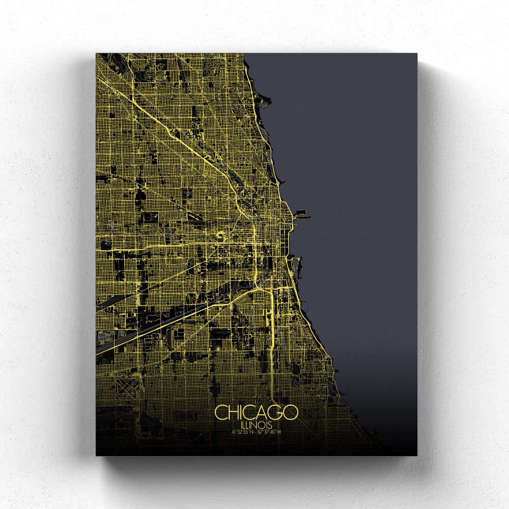
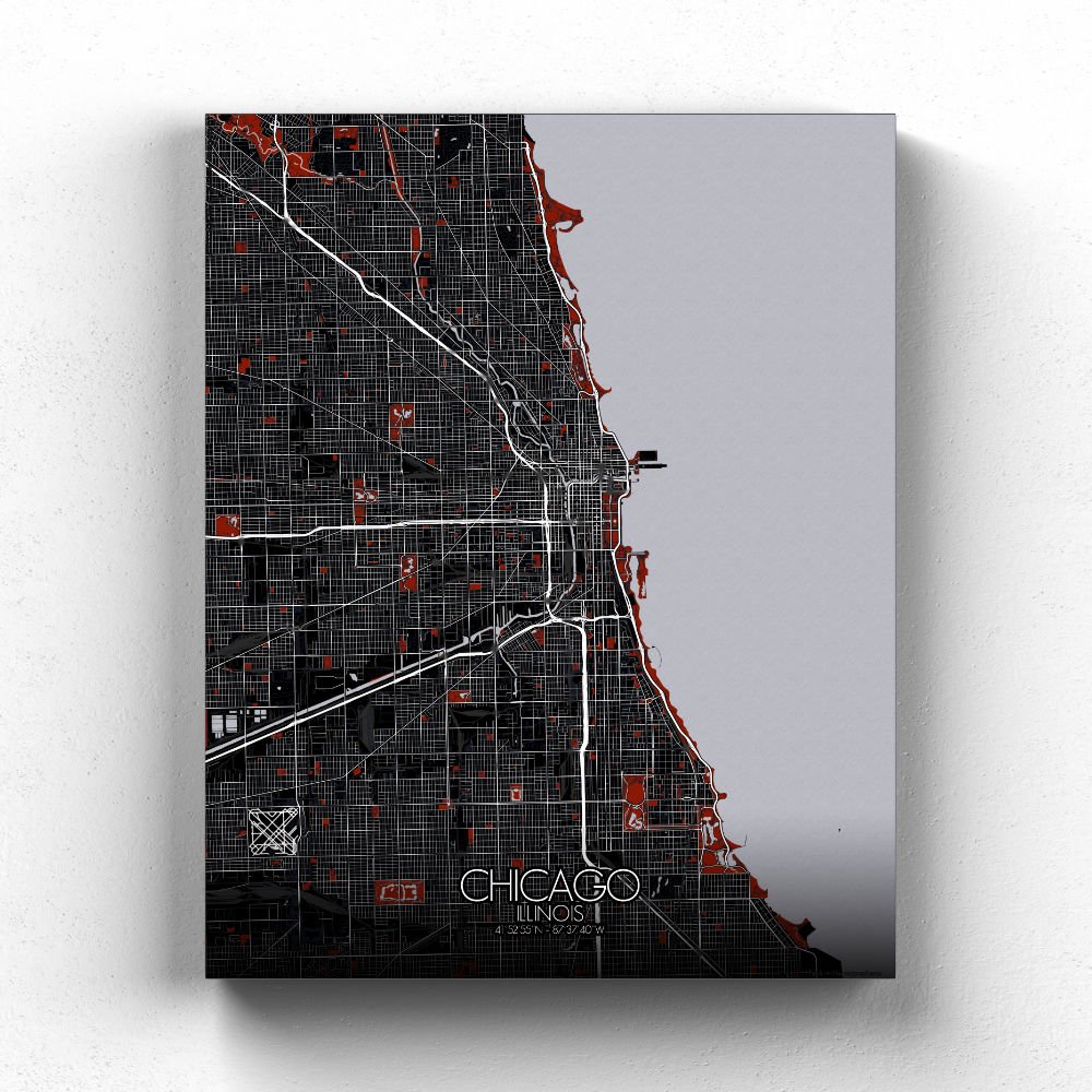

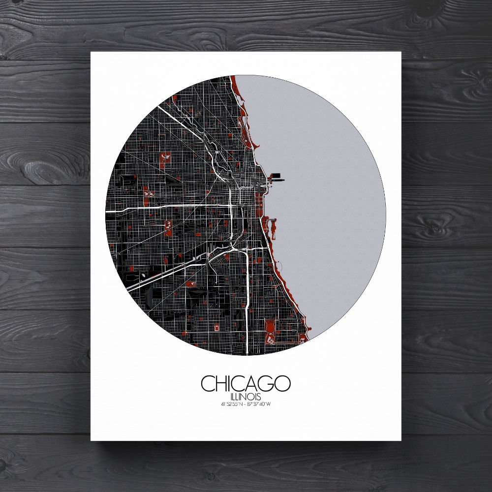


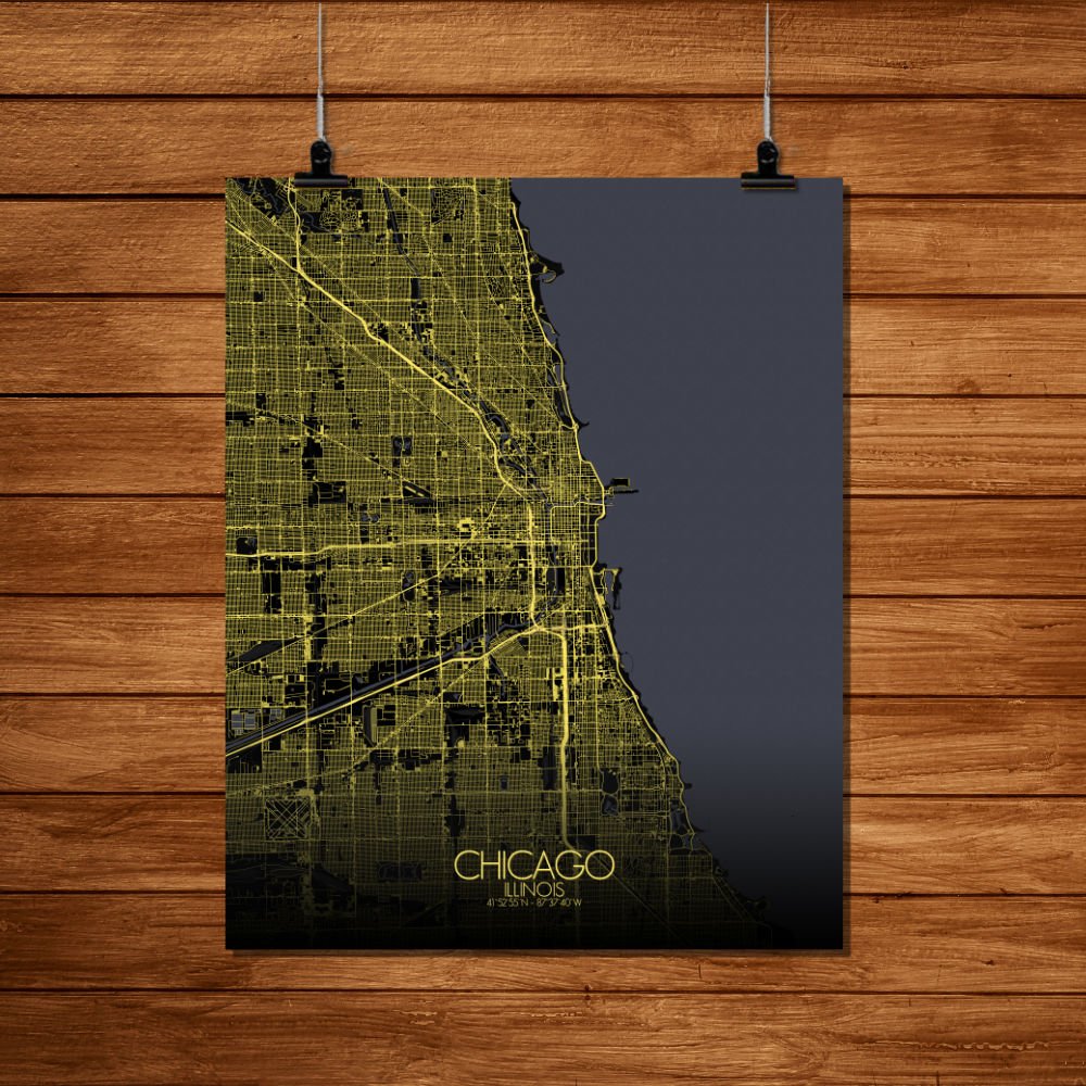
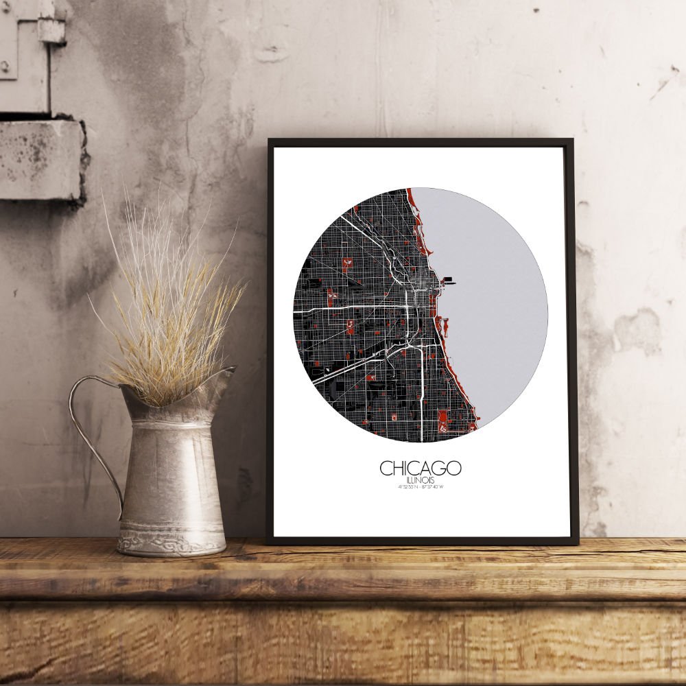
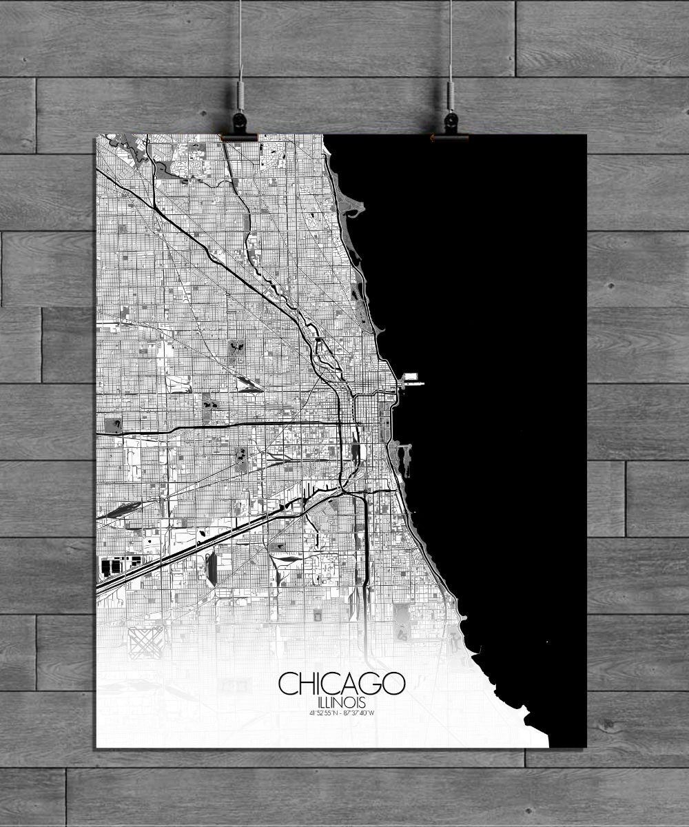
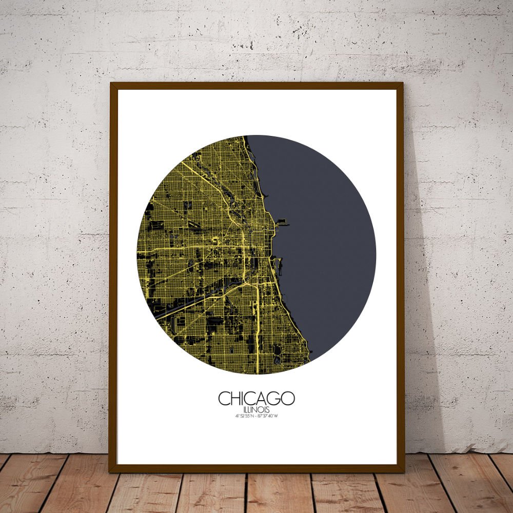
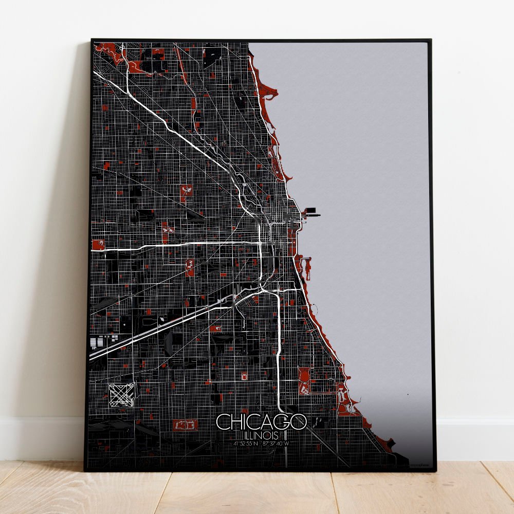
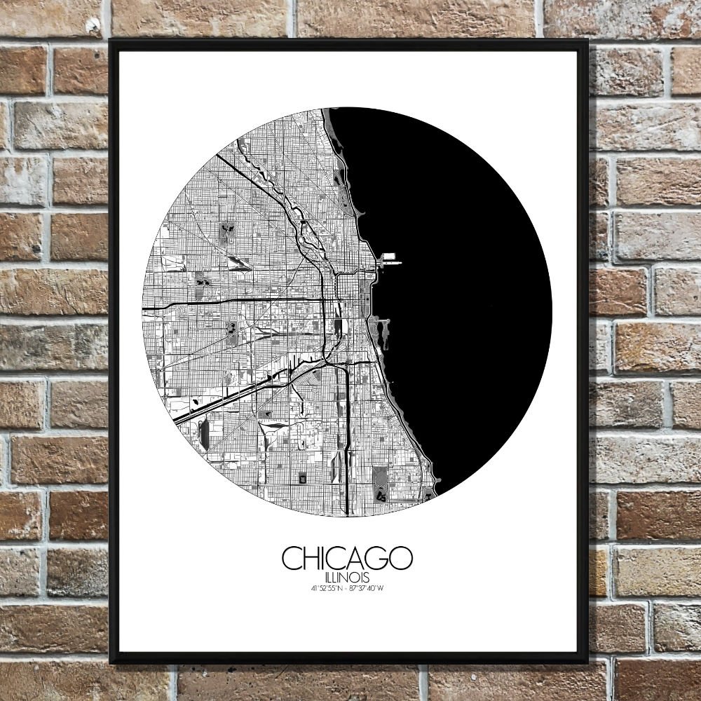
Poster City map of Chicago, Illinois: The map shows how the city is built from the ground up, with neighborhoods like the Loop offering a blend of old and new, while the gold coast and north side’s lush residential areas offer a quieter side to the city’s vibrant pulse.
Nestled along the shores of Lake Michigan, this map of Chicago captures not just the streets and buildings but the very soul of the city, where the flat prairies of Illinois give way to the shimmering waters of the lake. The city is a patchwork of urban life and lush green spaces, and it’s hard not to notice the winding paths of the Chicago River cutting through the heart of it all. Once a marshland, the city’s location on this river was a stroke of fortune, and it’s no surprise that it became a bustling hub of trade and innovation. When you look at the map, you’ll see the impressive network of parks that Chicago holds dear—Grant Park, often referred to as “Chicago’s front yard,” and Lincoln Park, which stretches along the lakefront like a green ribbon. These spaces are the lungs of the city, where locals escape the concrete jungle for a breath of fresh air. And don’t forget about the famous Jackson Park, home to the 1893 World’s Columbian Exposition, an event that left its mark on the city, not only in its grand architecture but also in the creation of the Museum of Science and Industry.