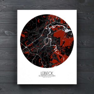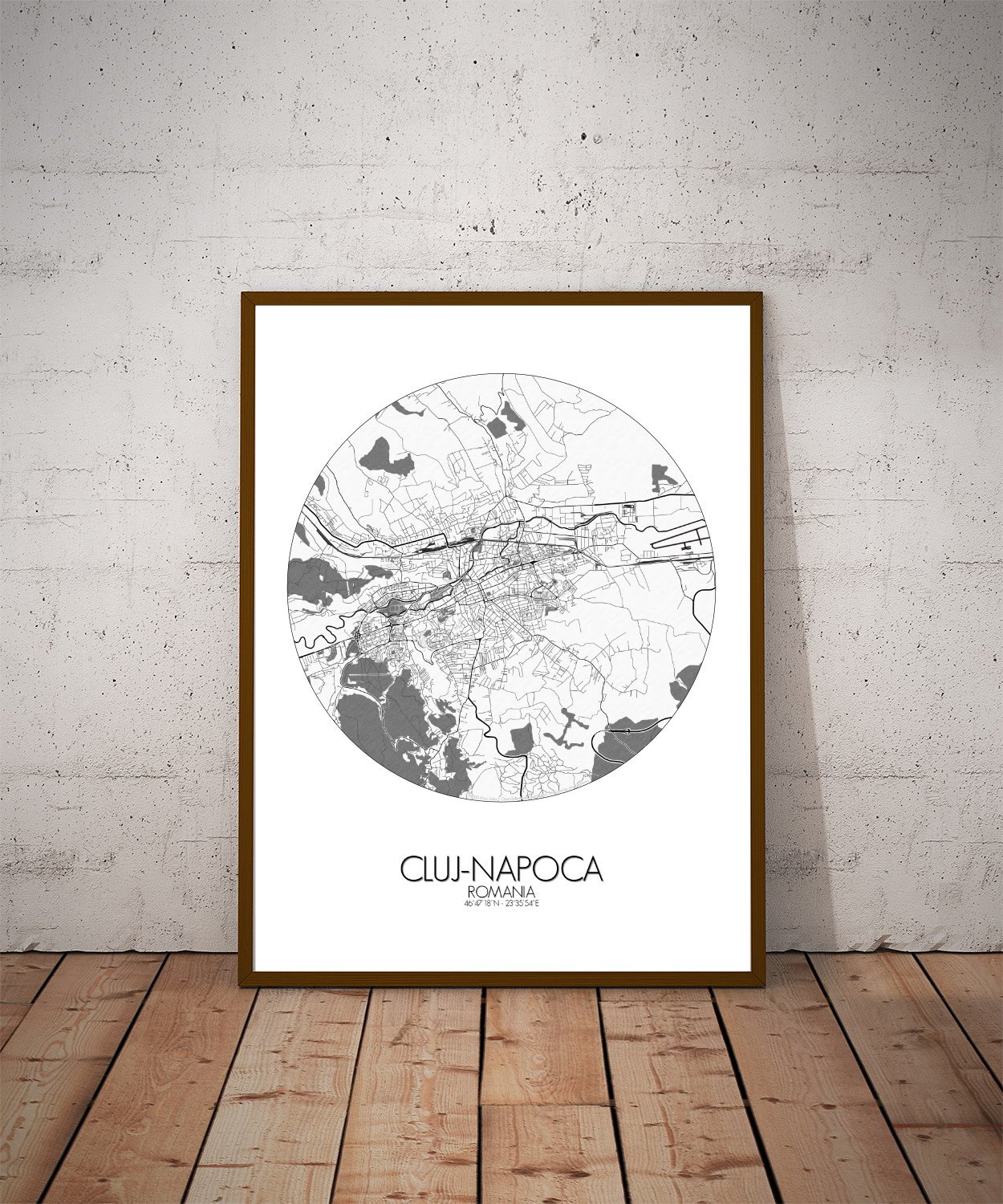

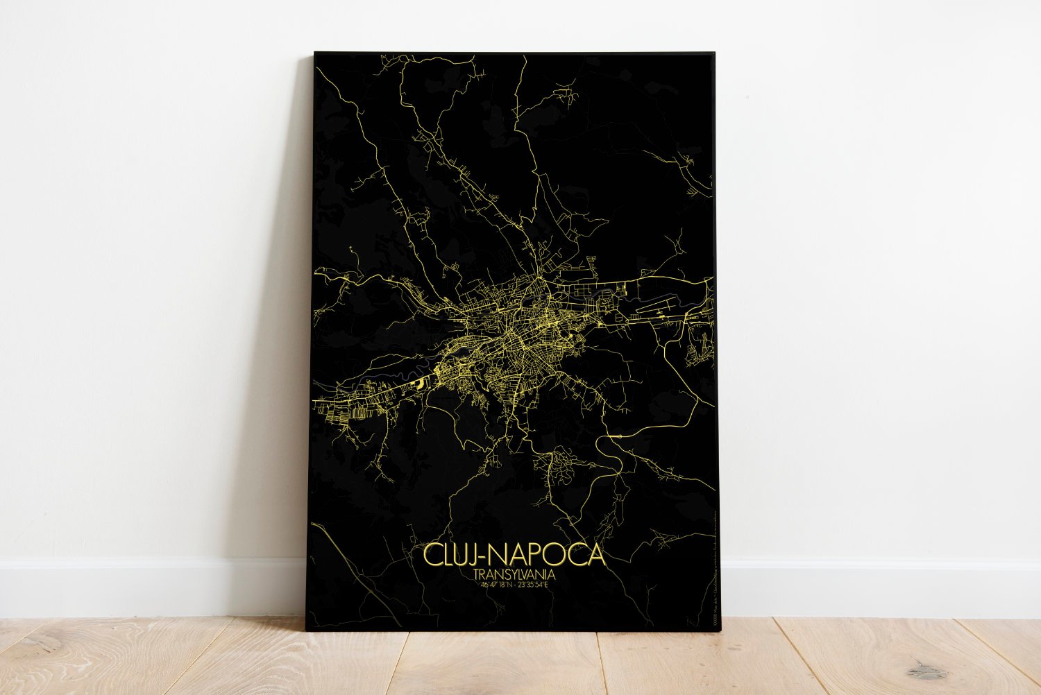


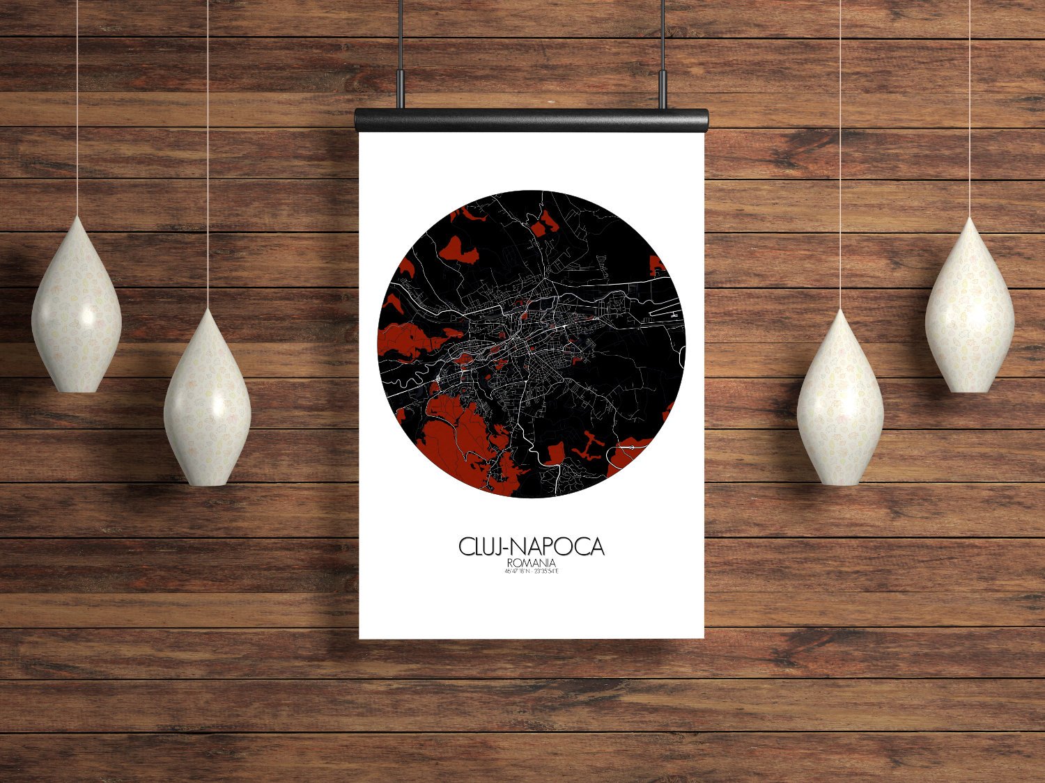
Poster City map of Cluj-Napoca, Romania: its whispered tales of Dacians and dukes, this map of Cluj-Napoca is a quiet celebration of a city that sits proudly between myth and everyday life. And no, there’s no vampire on the map—but we can’t promise he’s not nearby.
Set in the heart of Transylvania—yes, that Transylvania—Cluj-Napoca sprawls across hills and valleys with the quiet confidence of a city that’s seen empires come and go, and still manages to keep its cafés full. This map captures the city’s natural rhythm, where streets follow the land’s gentle ups and downs, and green spaces tuck themselves neatly between rooftops and riverbanks. The Someșul Mic river winds through the city like an old story, steady and a little stubborn, mirrored by the streets that grew up alongside it. Surrounding hills, especially in the west and south, rise just enough to give the map its texture—shaded softly to suggest where the view gets better (and where the cycling gets harder). The Făget Forest brushes the city’s edge, a dark green reminder that even in modern Cluj, nature hasn’t gone far. In the center, landmarks rise with pride: St. Michael’s Church, tall and unbothered by time, and the old fortress hill, which once kept watch over the city and now mostly watches over joggers and photographers. The Botanic Garden, more jungle than garden on some days, adds a lush splash to the southern slopes, while the Central Park offers flat ground for strolling—and plotting weekend escapes.