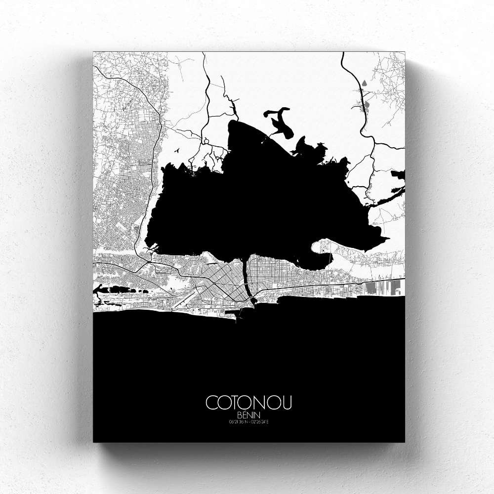


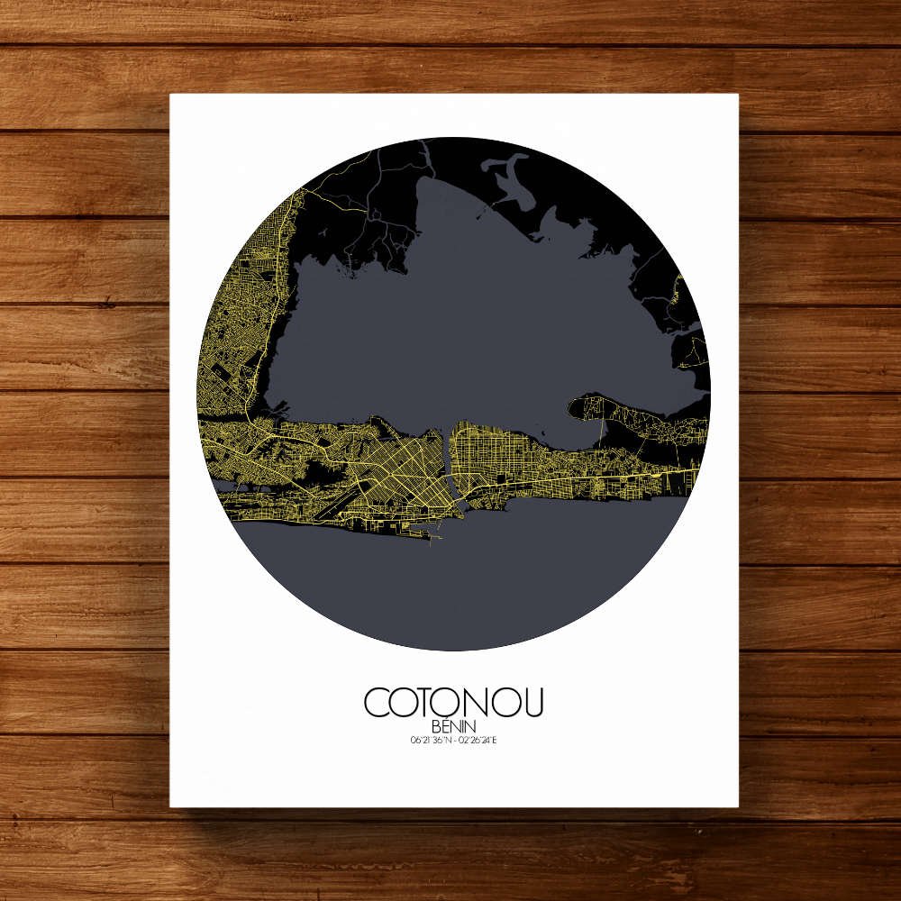
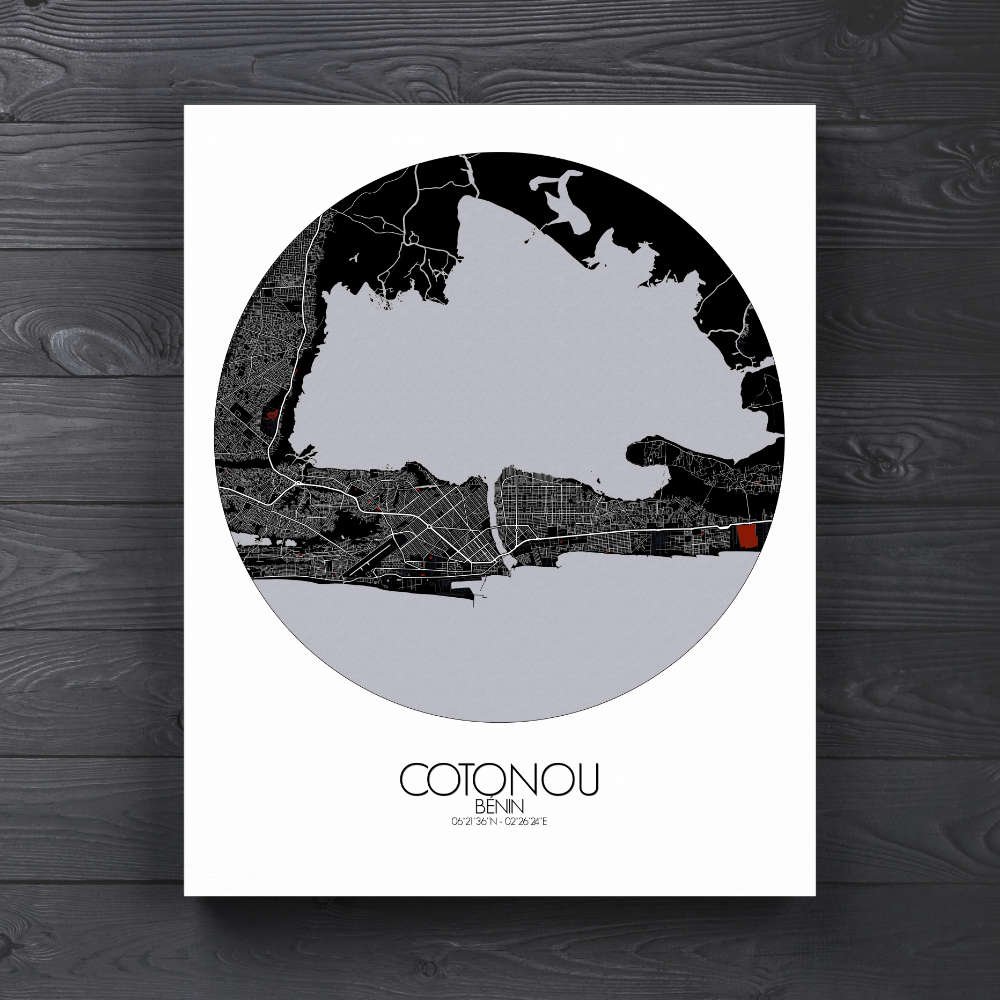
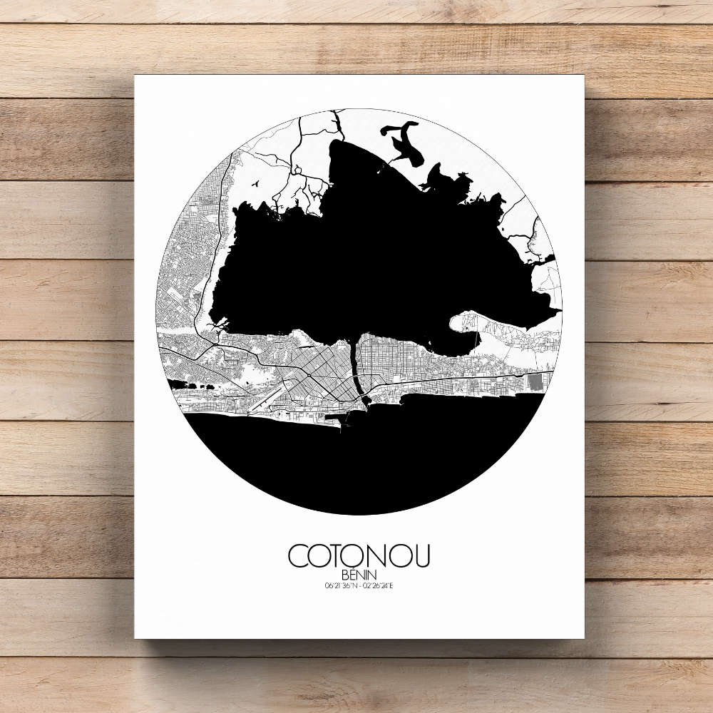

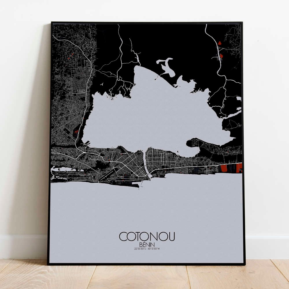
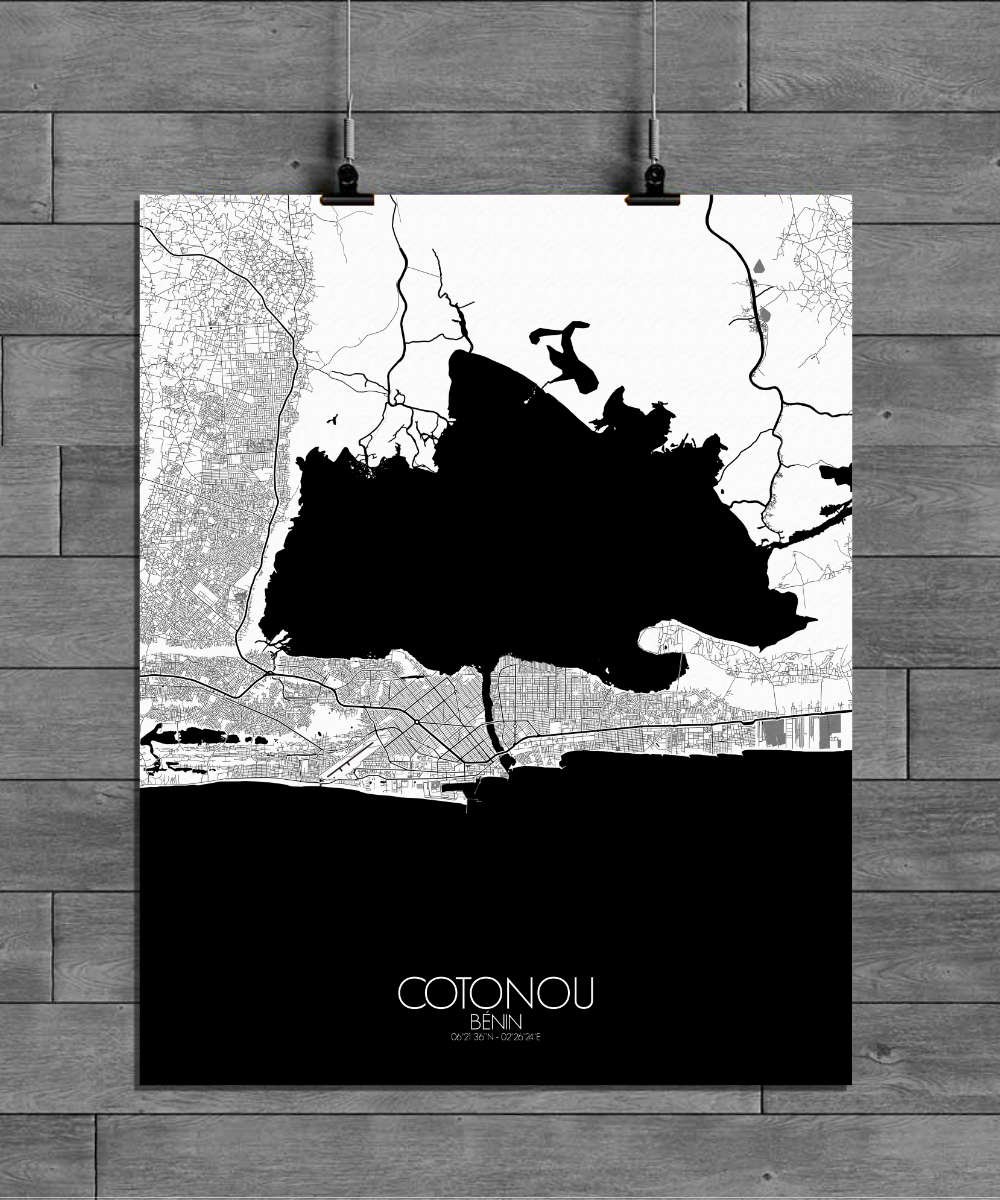
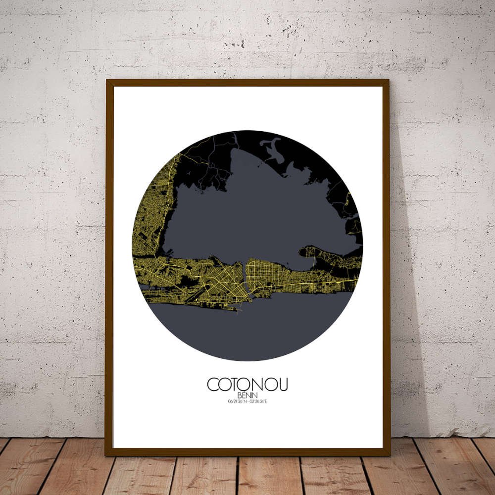
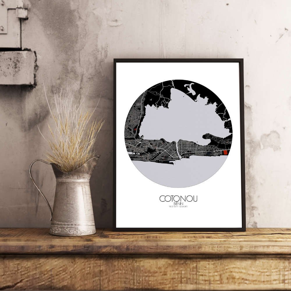
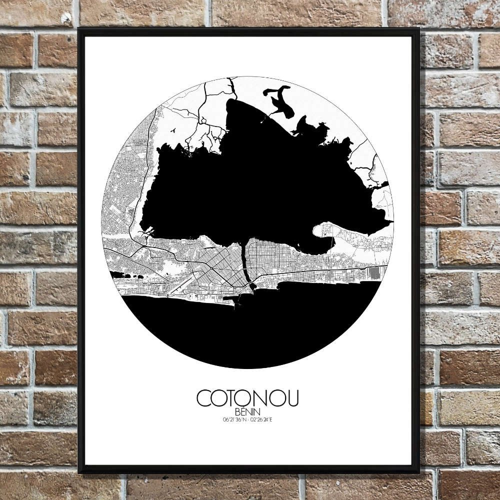
Poster City map of Cotonou, Benin: The city’s geography is marked by its flat terrain, where the land gently rises in places, offering expansive views of both the sea and the winding waterways that cut through the region.
Situated along the Gulf of Guinea, Cotonou’s coastline plays a central role, with the Atlantic Ocean stretching to the south. The map highlights the many lagoons and channels that define Cotonou’s landscape, a reminder of its historical connection to trade and transportation. These waterways were once vital for the city’s port activity, and today they still weave through the area, offering a serene contrast to the hustle of the port itself. The Port of Cotonou, one of the busiest in West Africa, is a key feature, with ships constantly arriving and leaving, bringing with them stories from across the globe. In the heart of Cotonou, landmarks such as the impressive Cotonou Cathedral and the bustling Dantokpa Market stand tall, offering both spiritual and commercial significance. The market, one of the largest in West Africa, is a maze of activity, where you can hear the constant hum of trade and see the colorful array of goods from all over the region. And of course, the historic statue of the “King Toffa,” a symbol of the city’s rich cultural heritage, adds a touch of local pride to the map.