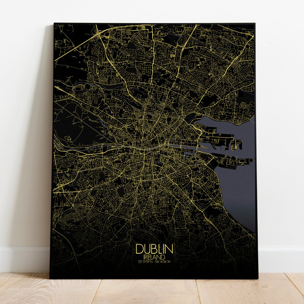
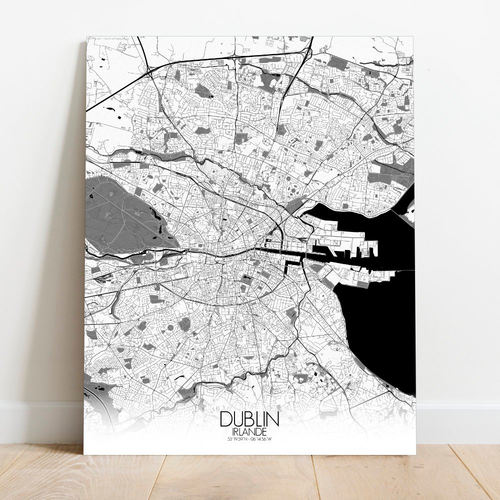
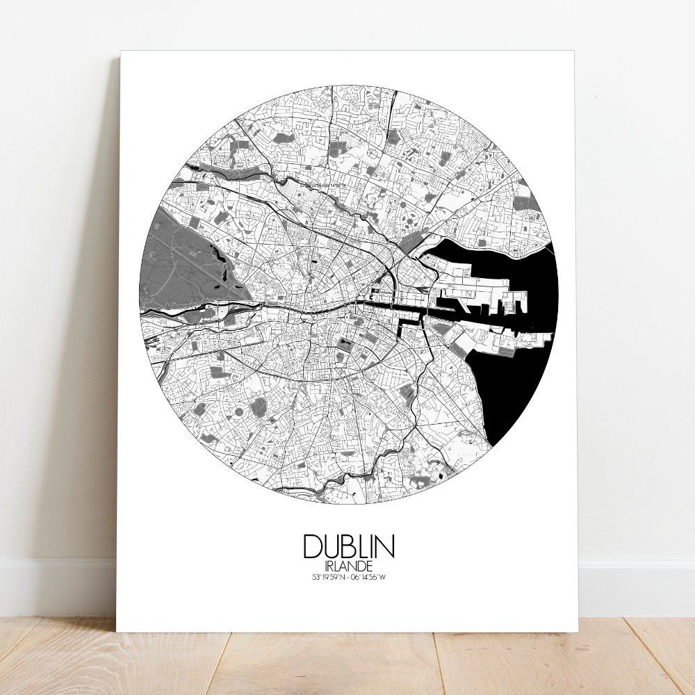
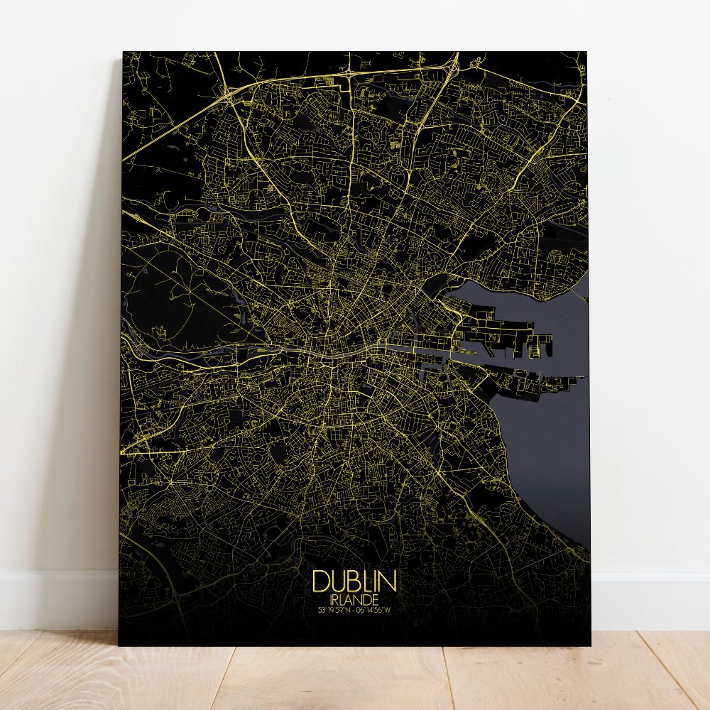
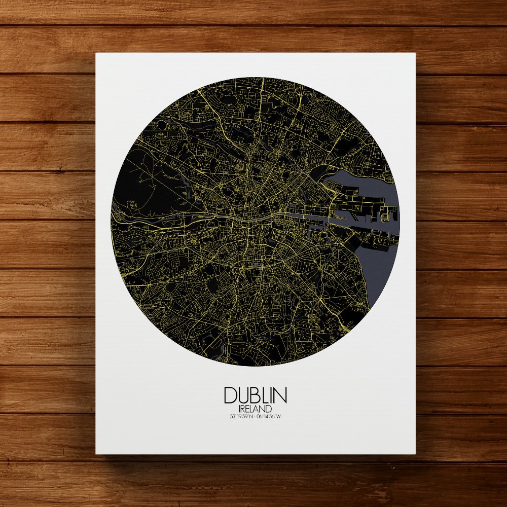
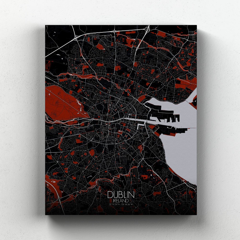
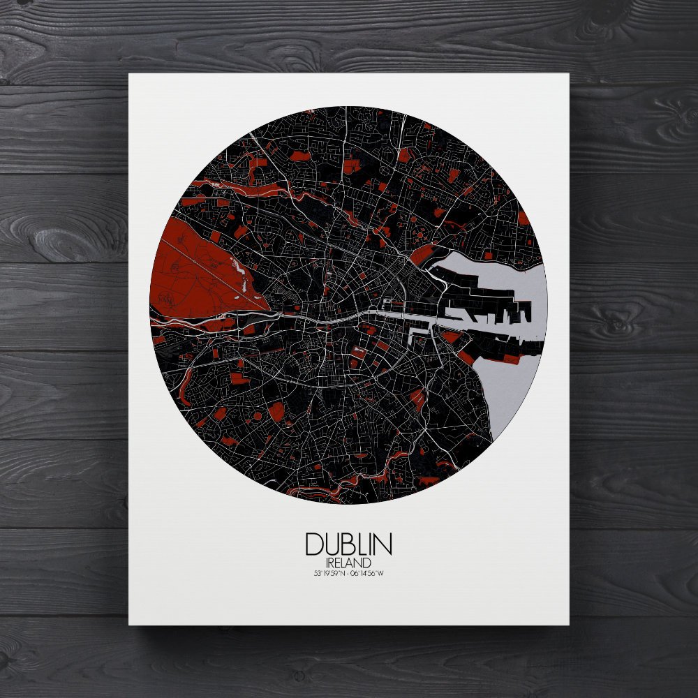
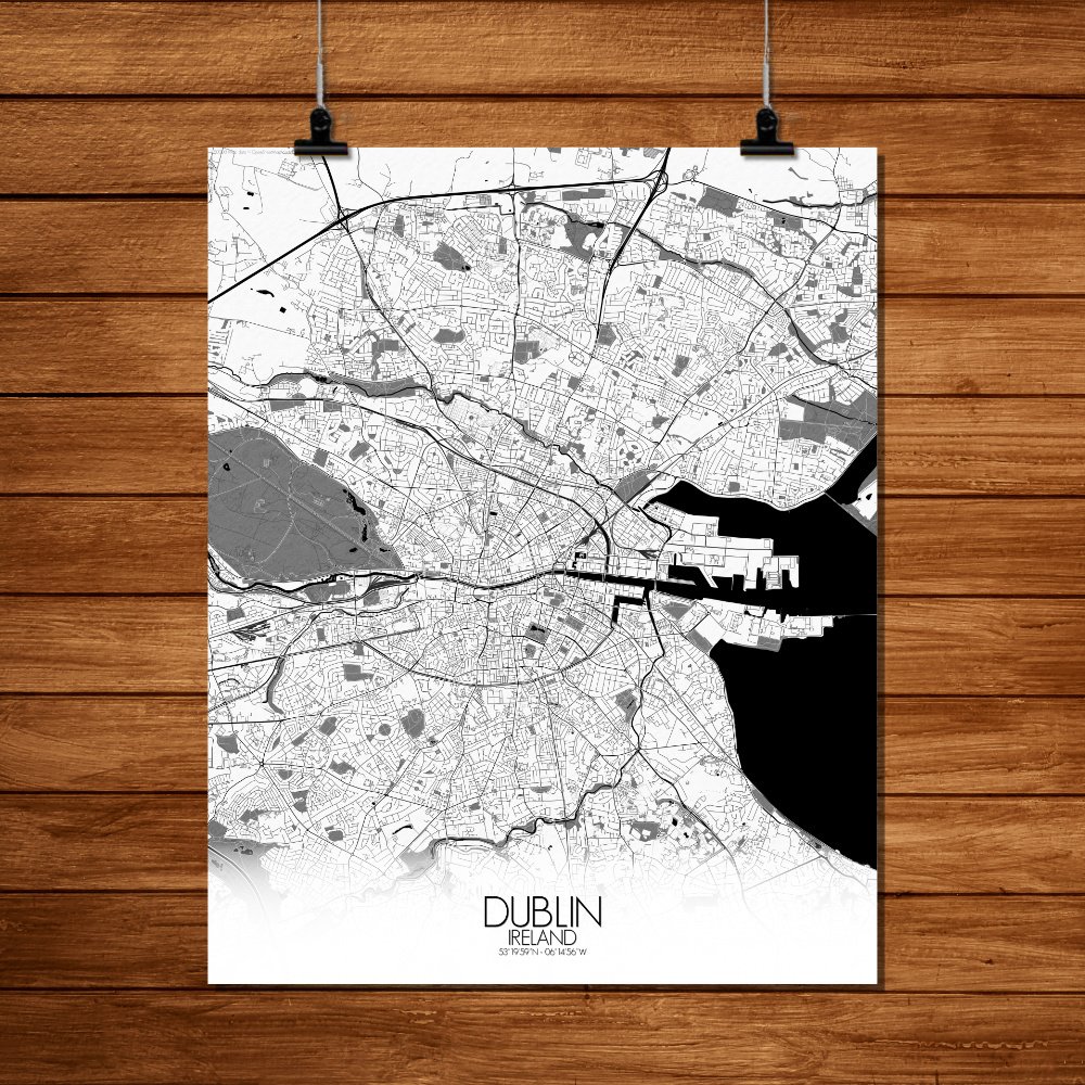
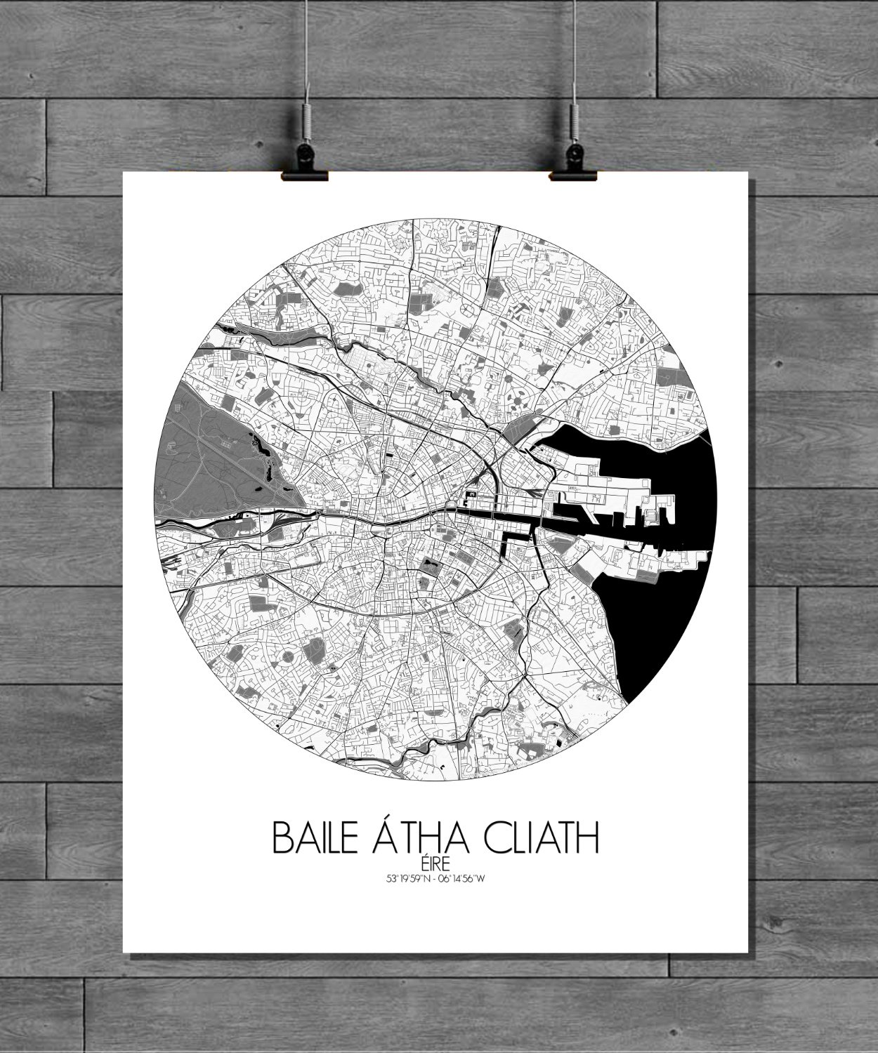
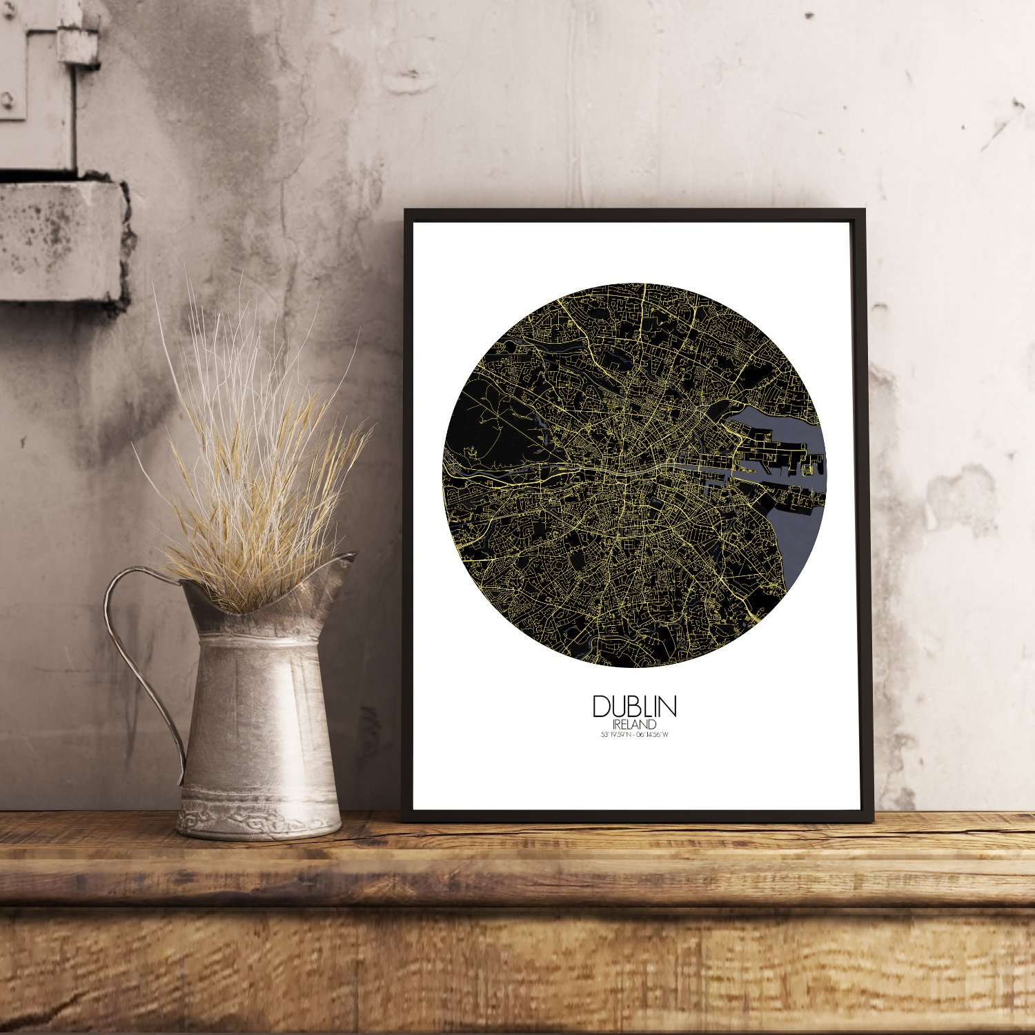
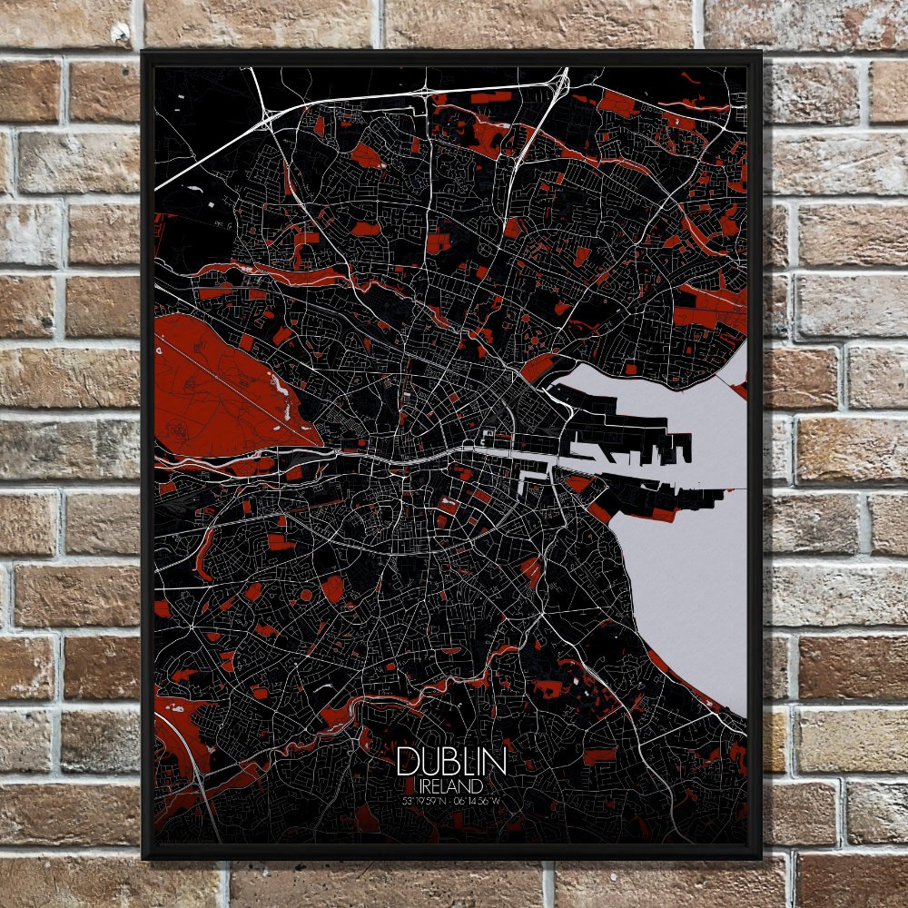

Poster City map of Dublin, Ireland: Nestled on the edge of the Irish Sea, Dublin spreads gently between the mountains and the water, like a city caught between two stories—one whispered by the wind from the hills, the other carried in by the tide.
This city map captures that delicate balance, with soft topographic lines showing how the land rolls from the southern Wicklow foothills down toward the River Liffey, which slices Dublin in two like a well-placed bookmark in a well-read novel. From Phoenix Park—the great green lung of the city, where deer have wandered since the days of dukes—to the manicured sweep of St. Stephen’s Green, this map quietly reveals how nature still has its say in the Irish capital. The coast curls eastward with a kind of casual elegance, dotted with harbors and coves like Sandymount and Howth, where seagulls seem to have inherited the gossip of ancient mariners. Look inland, and you’ll find Dublin’s core: the long spine of O’Connell Street, the old haunts of Trinity College, and the cluster of cathedrals where saints once bickered over turf. Rendered with a designer’s eye and a cartographer’s touch, this map invites you to trace the city’s rise and fall—not just of elevation, but of centuries. Each hill, each bend in the river, each patch of green tells a part of the tale, whether it’s Viking raids or a poet’s morning walk. Just beware: you may start hearing fiddles in the breeze.