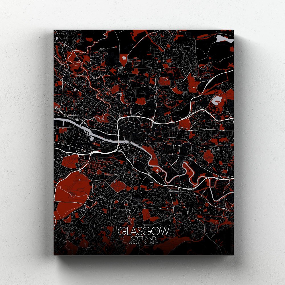
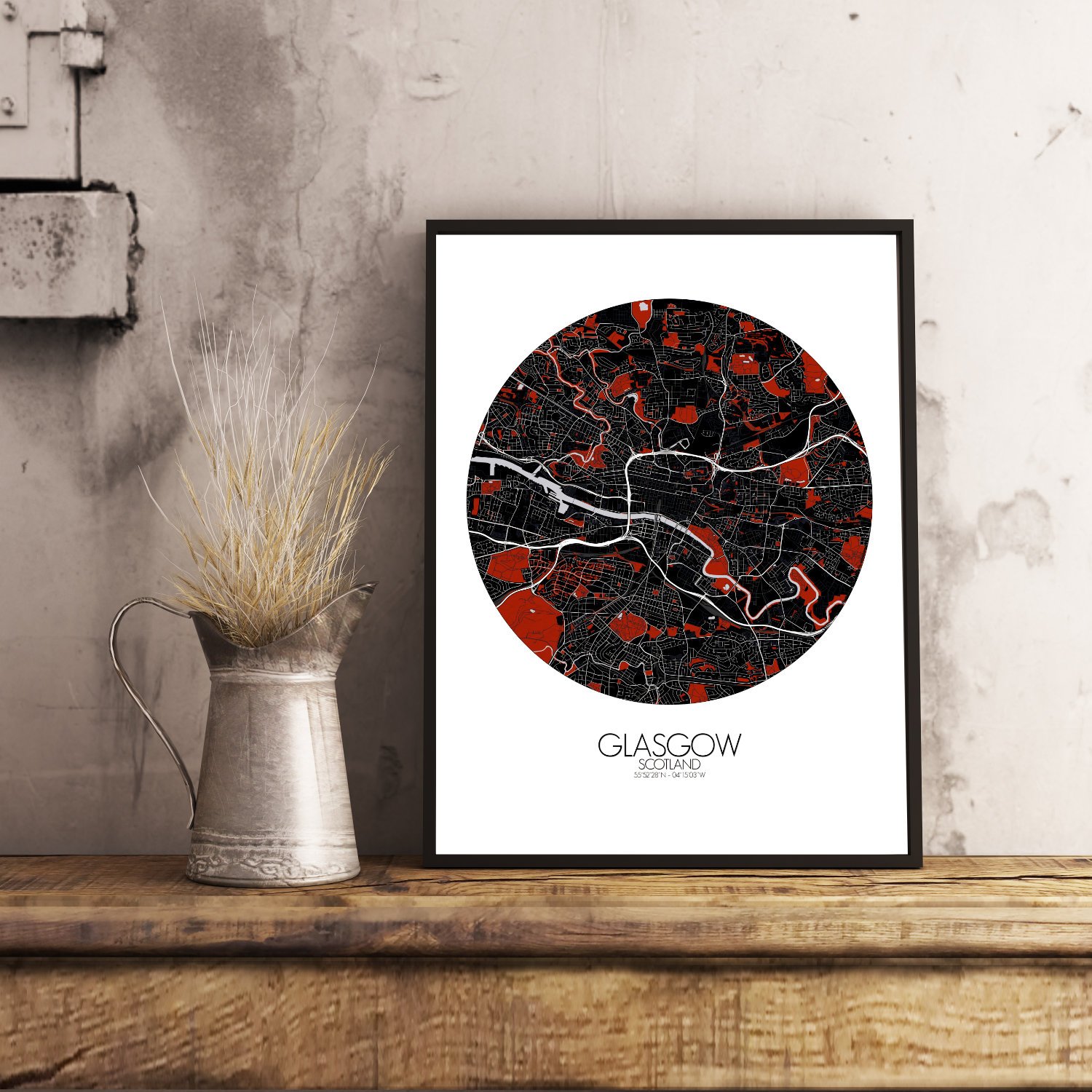
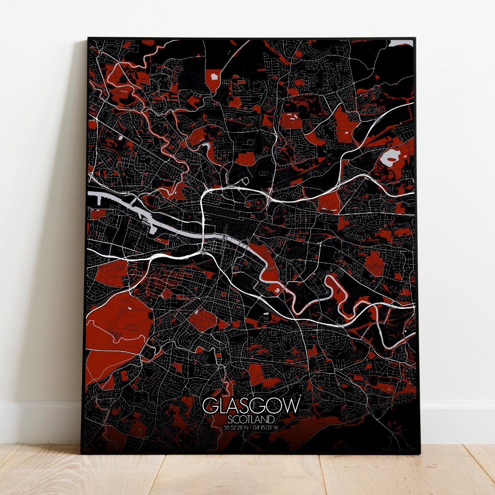
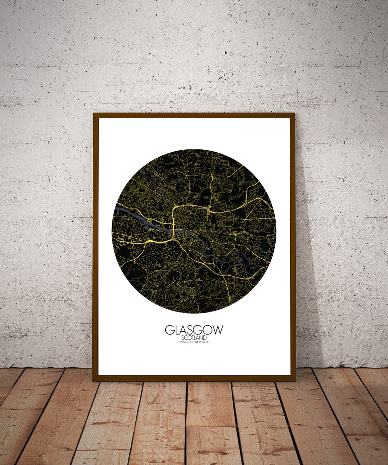
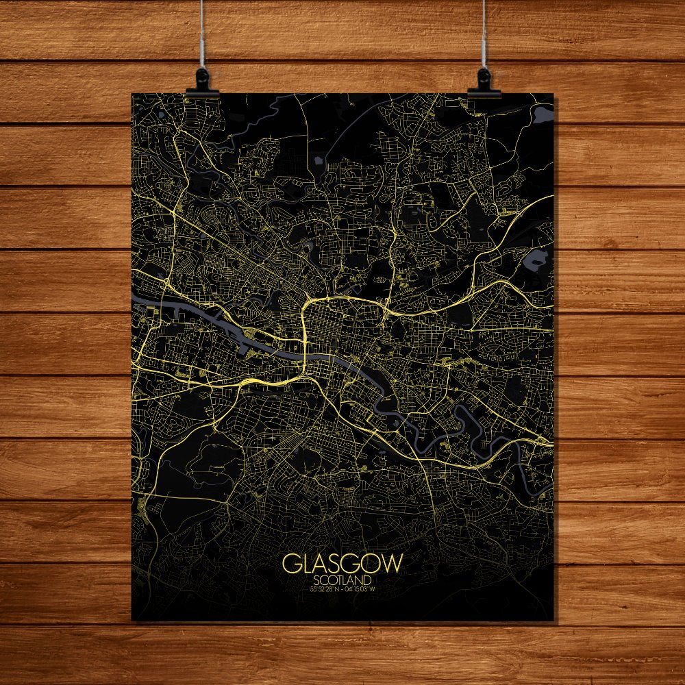
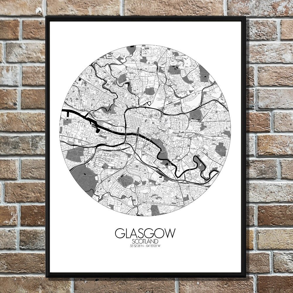
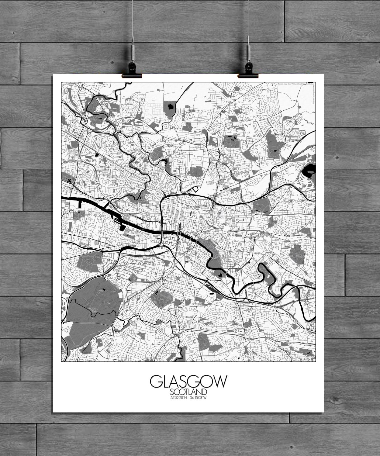
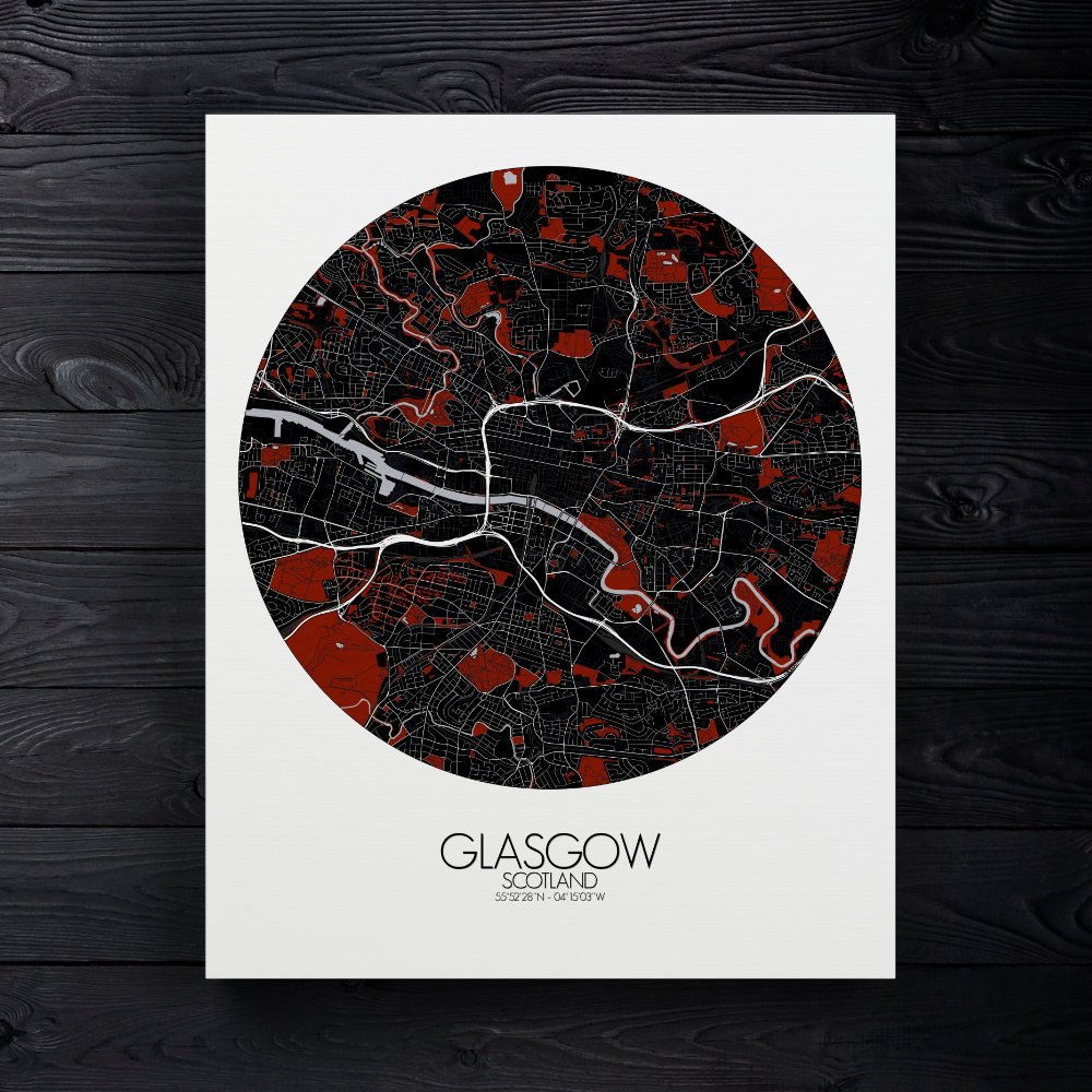
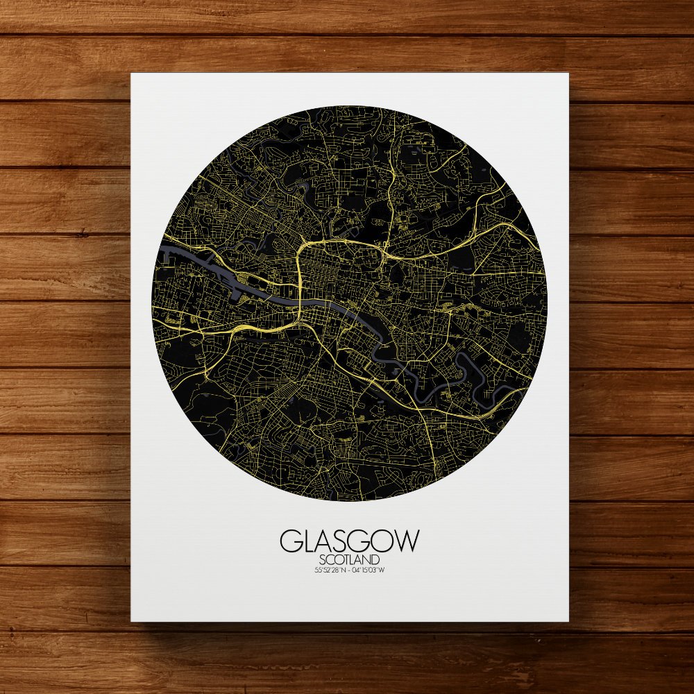
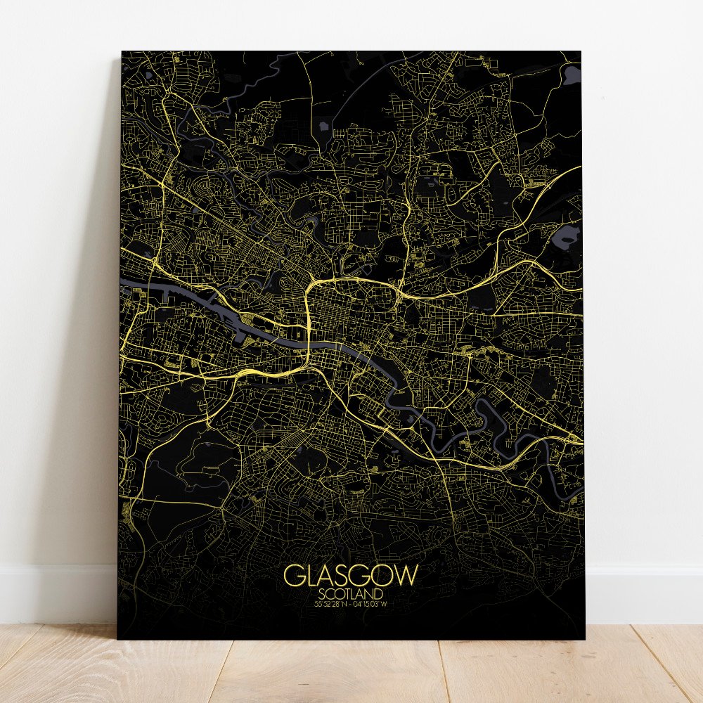
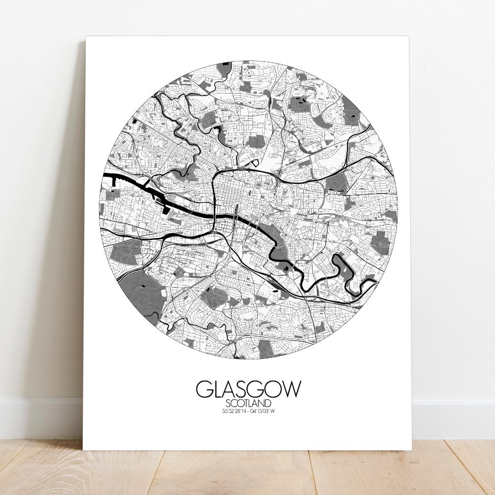
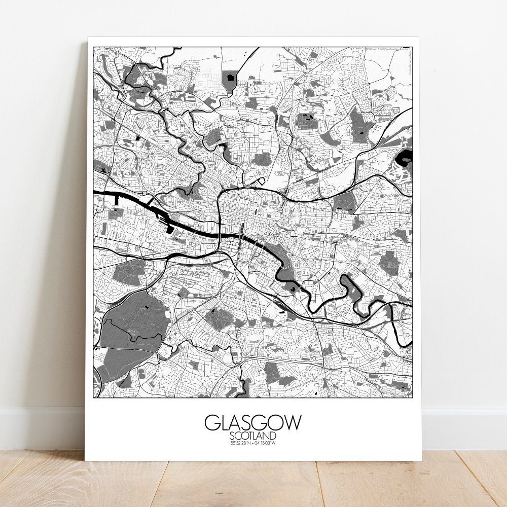
Poster City map of Glasgow, Scotland: Set along the River Clyde, Glasgow sprawls with a quiet kind of confidence—built on hills, hard work, and the occasional burst of song.
This map captures the city’s rise from the water’s edge, where shipbuilders once hammered steel dreams into ocean-going giants, to the ridges and plateaus that hold the neighborhoods like open palms. The terrain here matters. The city climbs and dips, not just to give the legs a challenge, but to remind you that Glasgow was never one to sit still. The river snakes through the heart of the map like an old storyteller, bending past docks now turned into museums, music halls, and bits of modern sparkle. North and south of the Clyde, the greenspaces breathe life into the stone and brick. Kelvingrove Park, all gentle curves and clever paths, leads the way toward the university, perched high as if it’s been watching over the city since books first arrived. Glasgow Green, older than most of the city’s streets, still holds echoes of speeches, marches, and the occasional weekend kickabout. The city’s grid is more of a suggestion than a plan. Roads twist and tilt around ancient paths, old industrial estates, and hidden closes where ghosts of poets and punks might still argue over pints. The cathedral stands tall on the map’s eastern shoulder, beside the Necropolis—an ornate hillside of stone and silence, watching the city with one eyebrow raised. Hang this map on your wall, and you’ll have more than streets and slopes. You’ll have a glimpse of a city that grew from grit and green, always humming a tune half-serious, half cheeky—just like Glasgow itself.