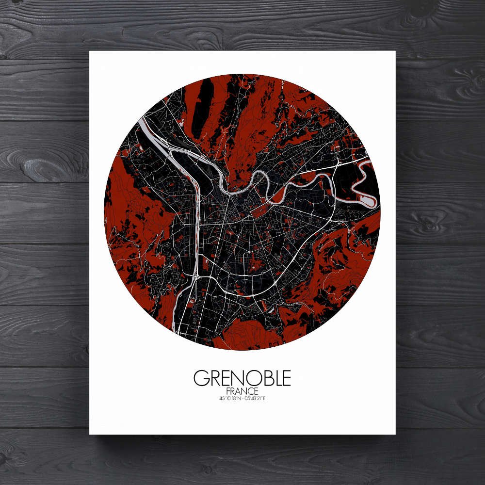
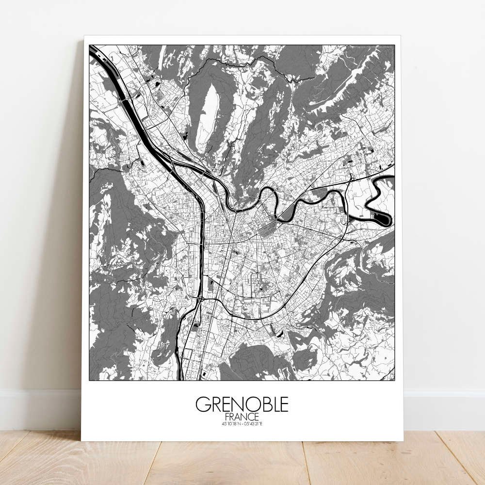
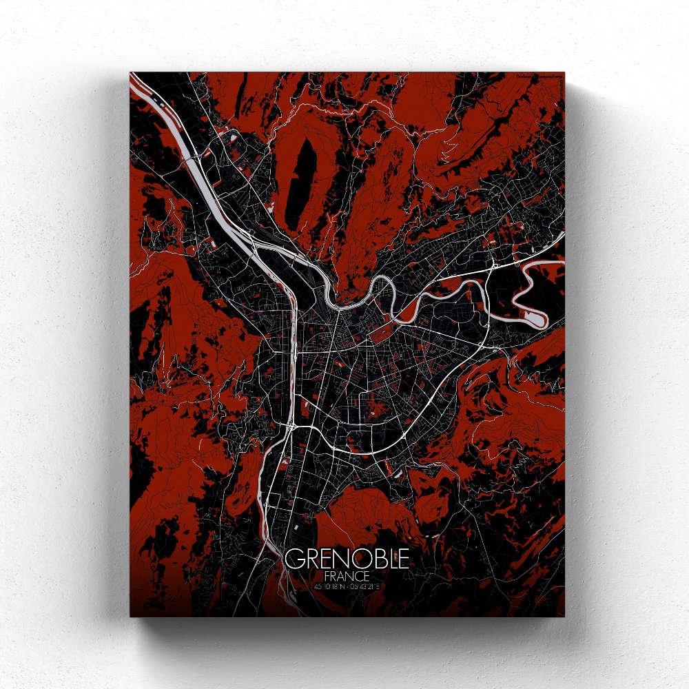
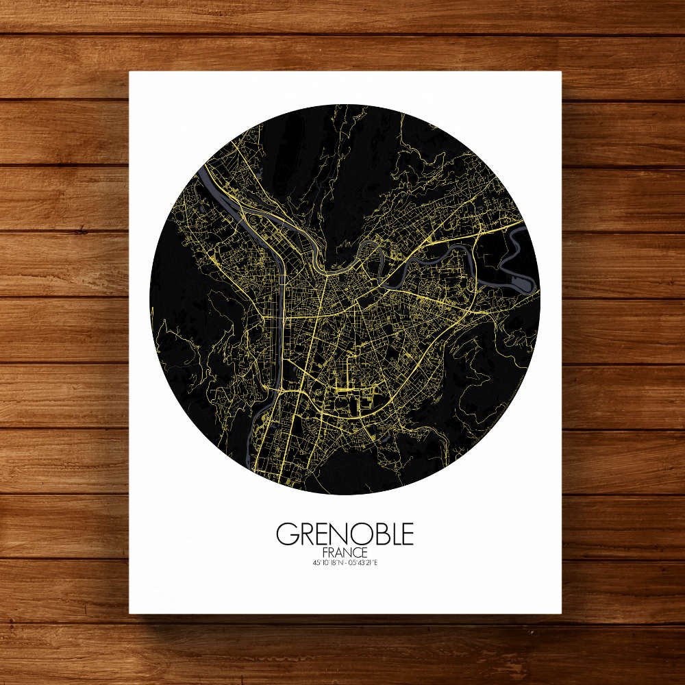
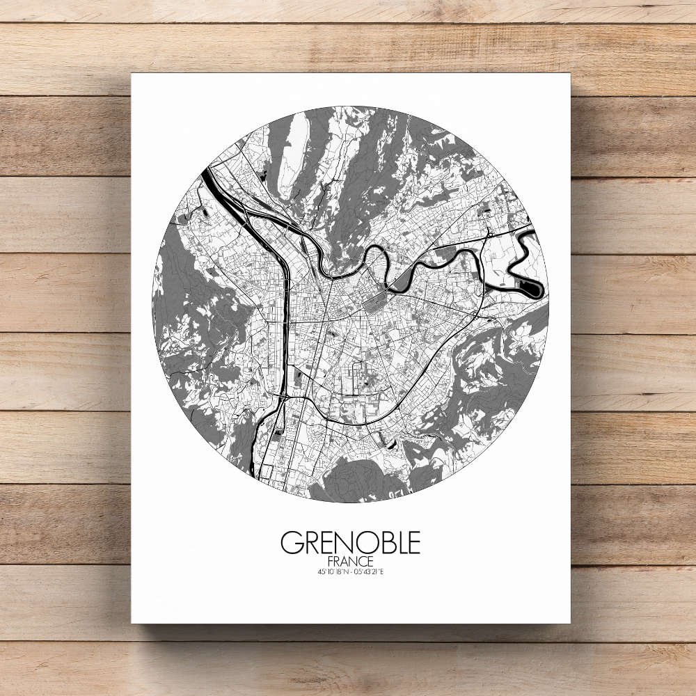
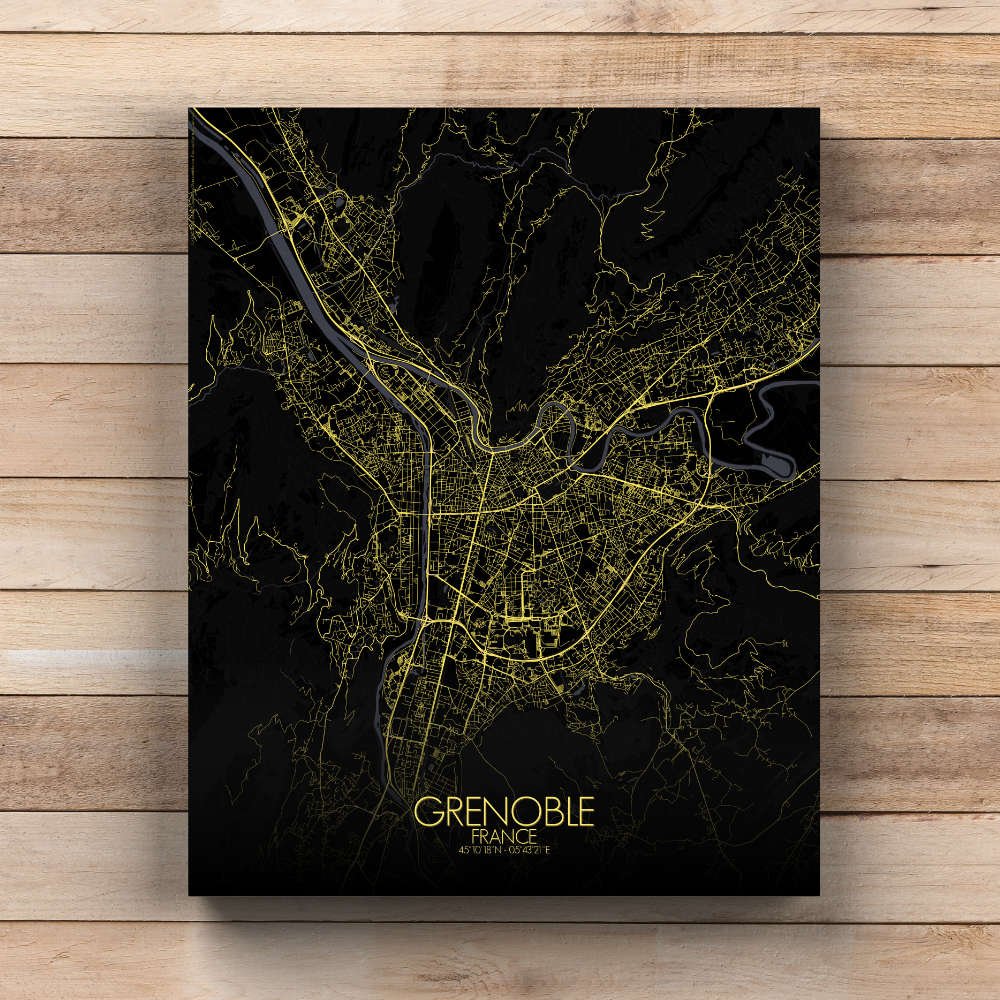
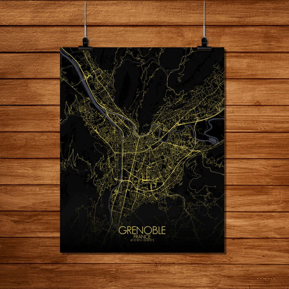
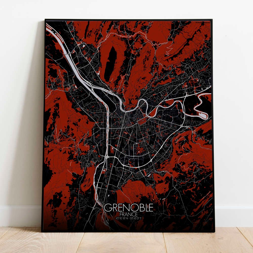
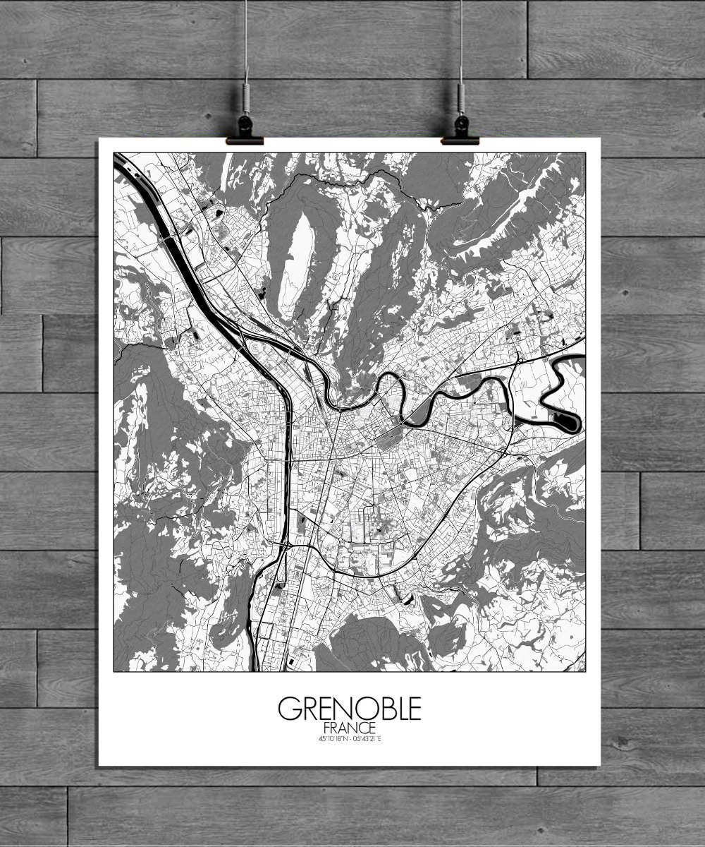
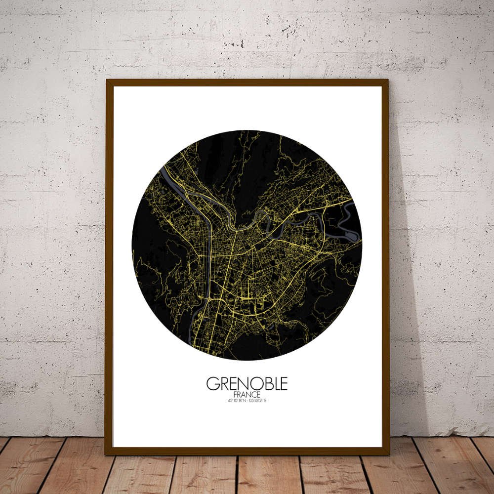
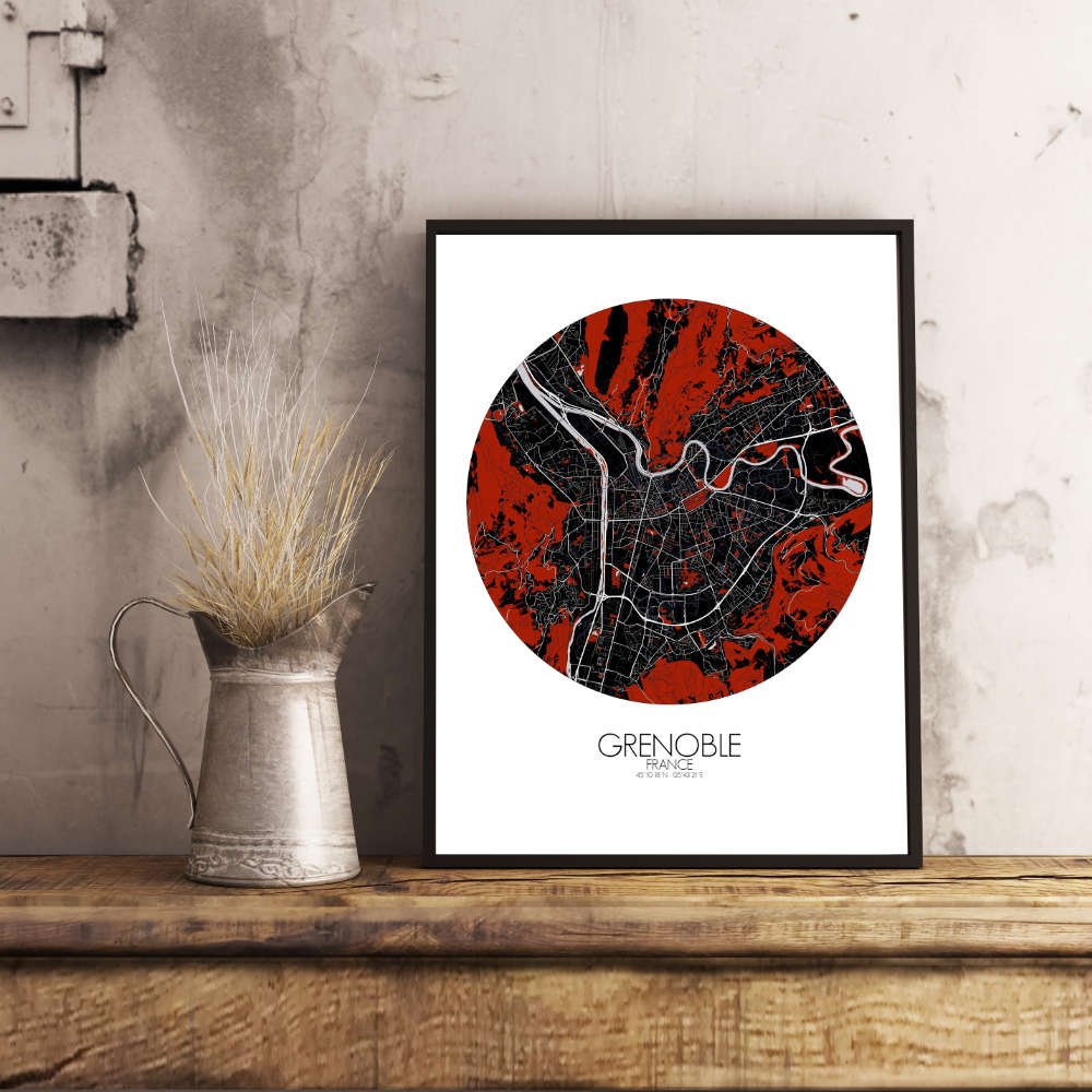
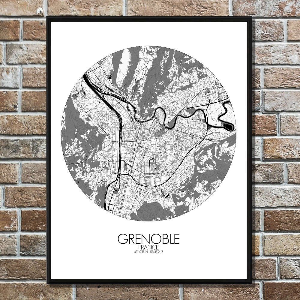
Poster City map of Grenoble, France: The visual appeal lies in how the natural contours of the terrain weave into the fabric of the city, creating an ever-present reminder that Grenoble is a city shaped by its mountains—both in spirit and in view.
Nestled between the majestic French Alps, Grenoble is a city where the mountains seem to meet the streets, offering a landscape that is both dramatic and inviting. The map of Grenoble is a topographic marvel, capturing the city’s unique position at the foot of the Chartreuse and Vercors ranges. Its layout stretches across a valley, where the Isère River flows gracefully, slicing the city in two, like a ribbon of history that has witnessed centuries of human life. From the city’s bustling center to its serene outskirts, the map is dotted with green spaces that provide a refreshing contrast to the urban bustle. The Parc Paul Mistral, a large green haven, sits like a breath of fresh air in the heart of the city, perfect for anyone in need of a pause. To the north, the Bastille, perched on a steep hill, not only serves as a landmark of defense but also as a panoramic point from where you can gaze over the city and the distant snow-capped peaks. Every corner seems to hold a tale, from the quaint squares to the elegant bridges that cross the Isère River. And speaking of bridges, the map highlights the famous Pont de l’Isère, connecting the city to its vibrant surroundings and offering a scenic crossing for those lucky enough to be crossing on foot.