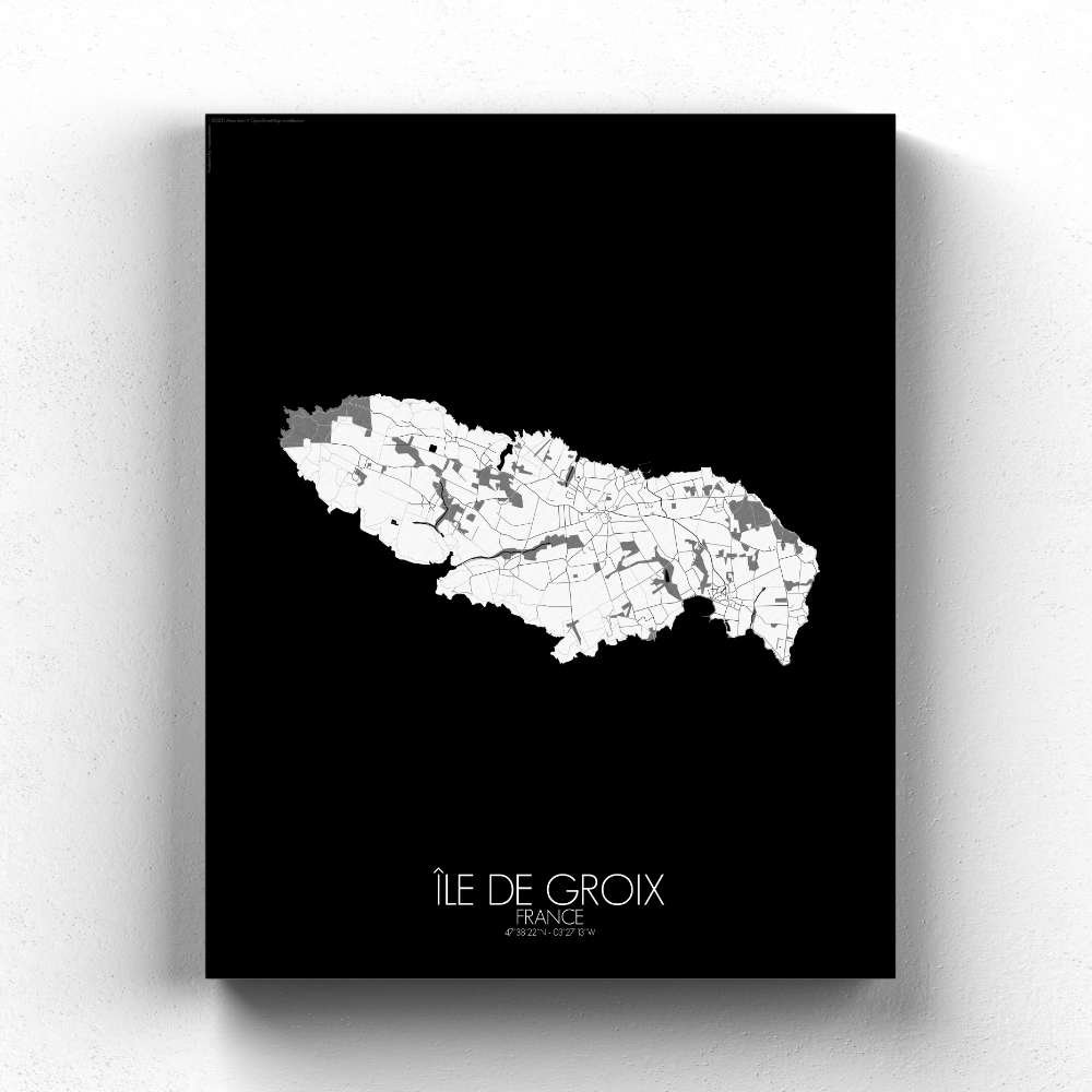
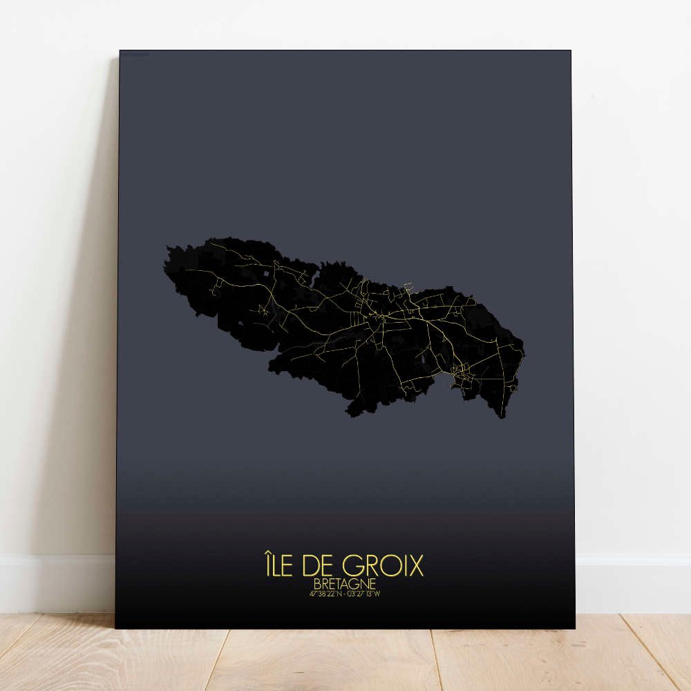
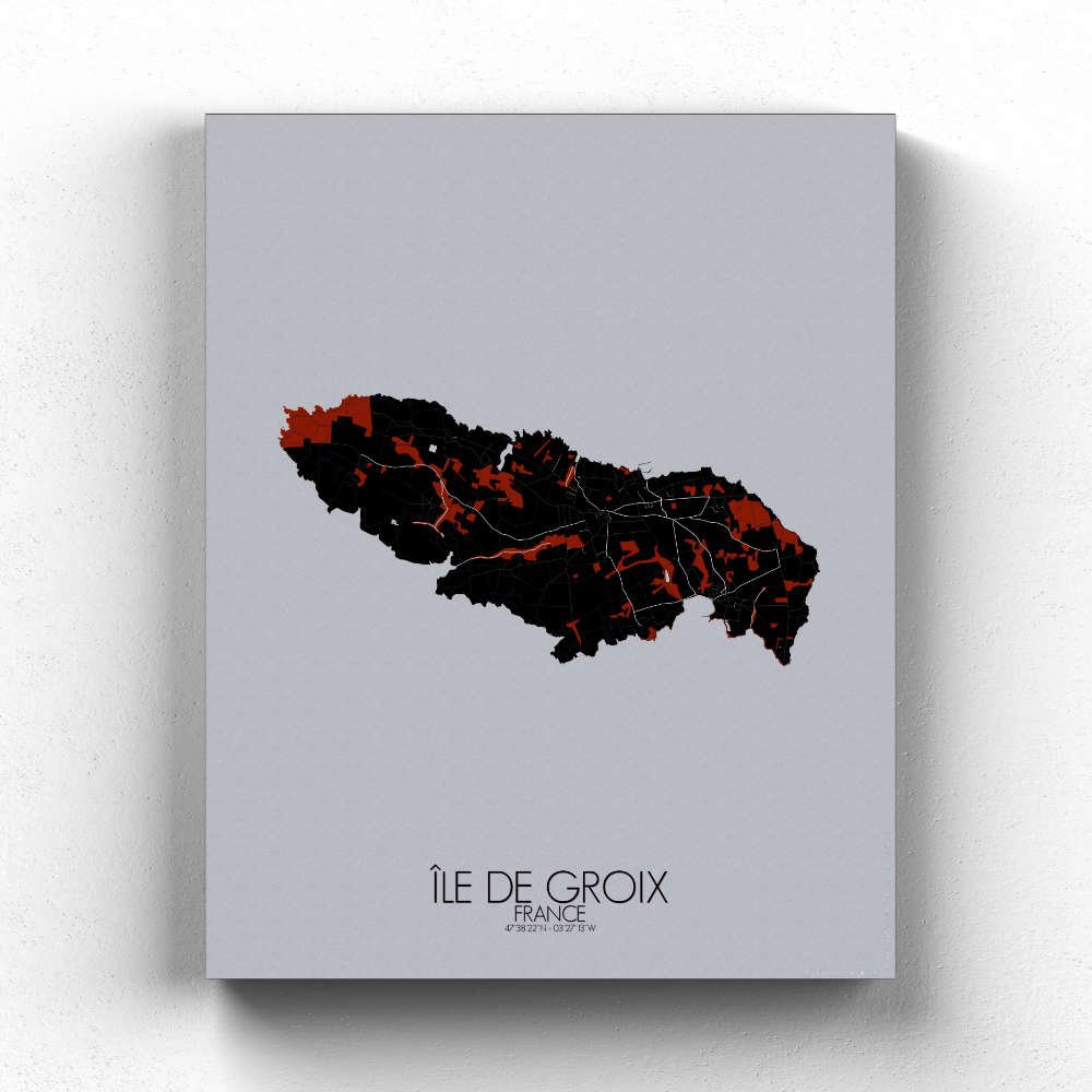

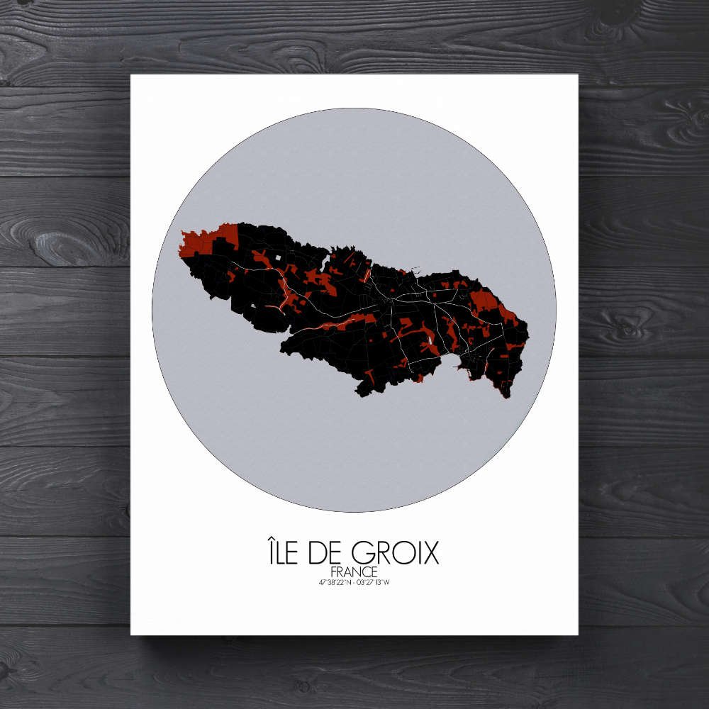


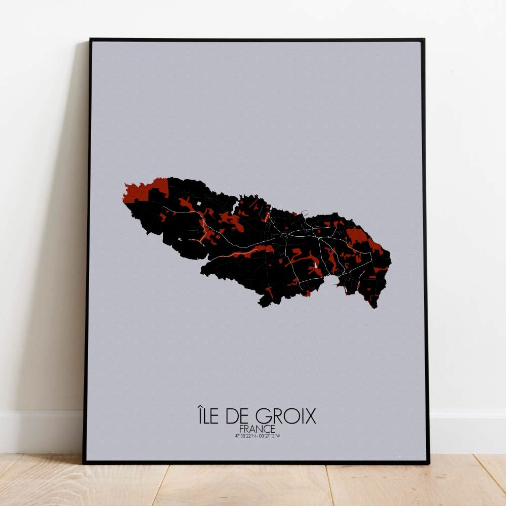

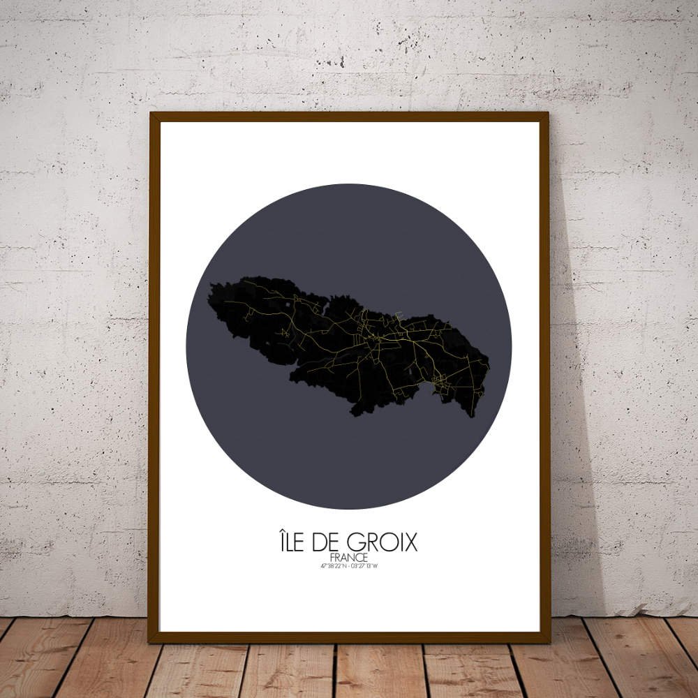
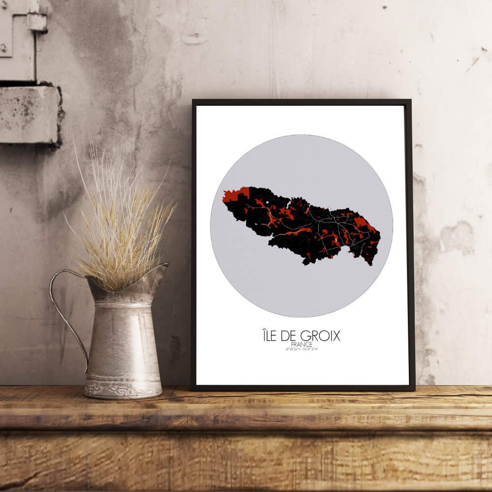
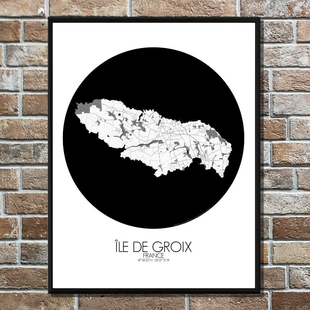
Poster City map of Groix, France: This map beautifully illustrates the topography of this gem off the coast of Brittany.
Groix is renowned for its rugged coastline, sandy beaches, and hills that seem to play hide and seek with the horizon. The island’s topography, with its craggy cliffs on the west and smoother, verdant hills to the east, tells a tale of ancient battles between land and sea. In the heart of Groix, you’ll find a patchwork of rolling fields and coastal forests. The lush greens of the island’s natural spaces stand out against the stark contrast of the blue sea. Around the village of Groix, winding paths lead you through charming landscapes, dotted with traditional Breton houses, some of which have been around since the 19th century. A highlight on the map is the iconic lighthouse of the Pointe des Chats, standing tall against the wind and waves, and a reminder of the island’s maritime heritage. Don’t forget the historical landmarks, like the Chapelle Saint-Michel, a small but significant site that whispers stories of Groix’s past, and the island’s many old stone quarries, once the heart of local industry.