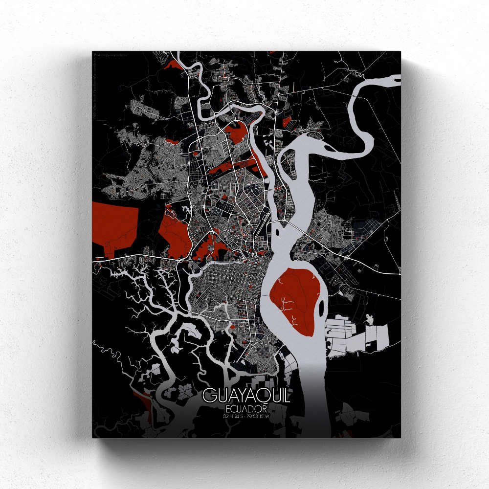


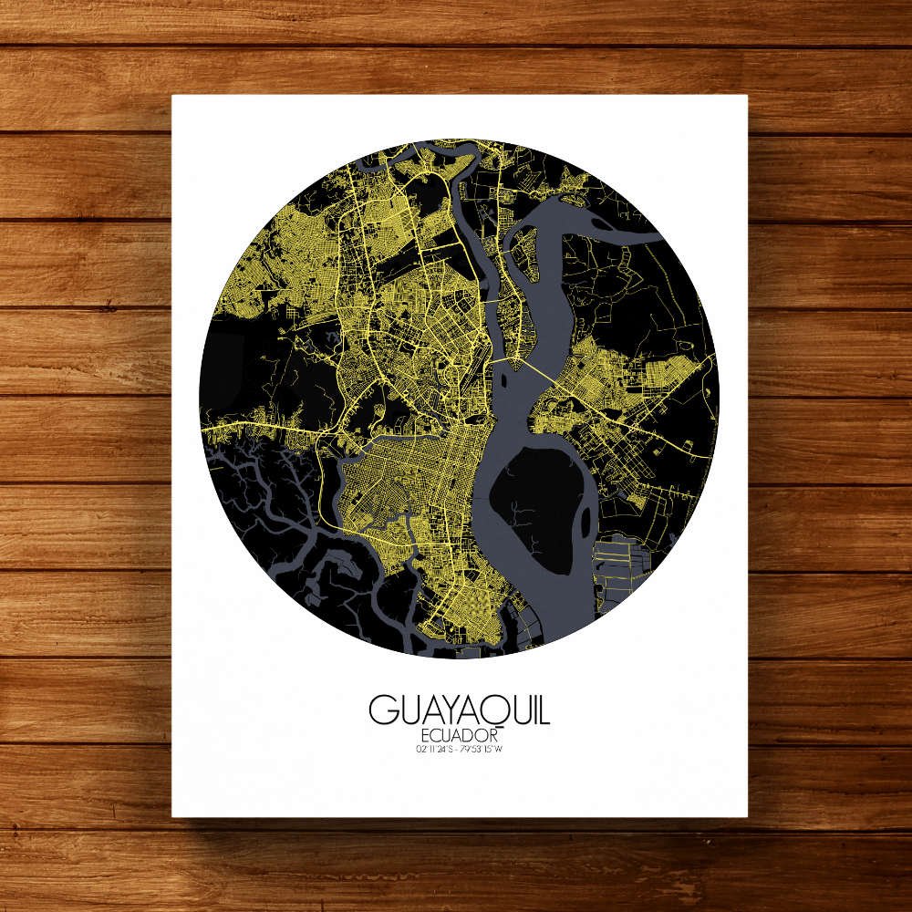
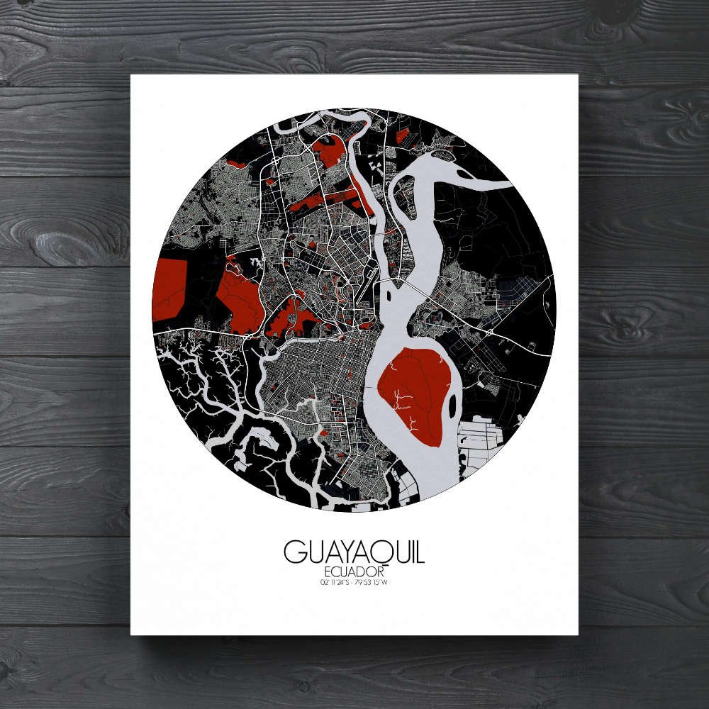


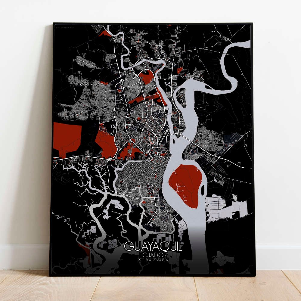
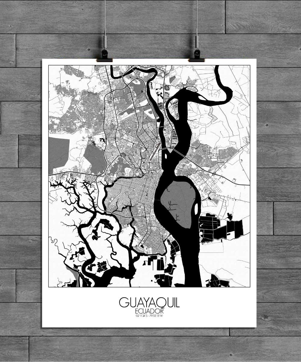
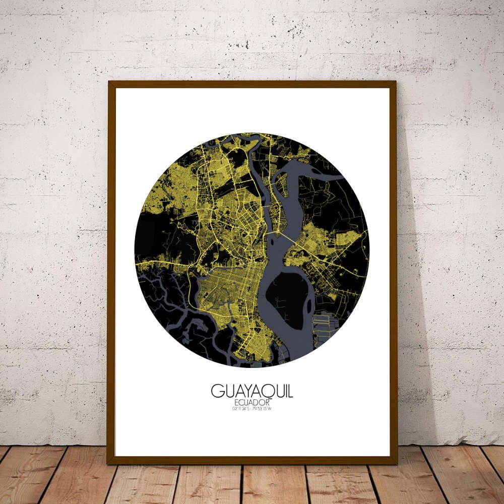
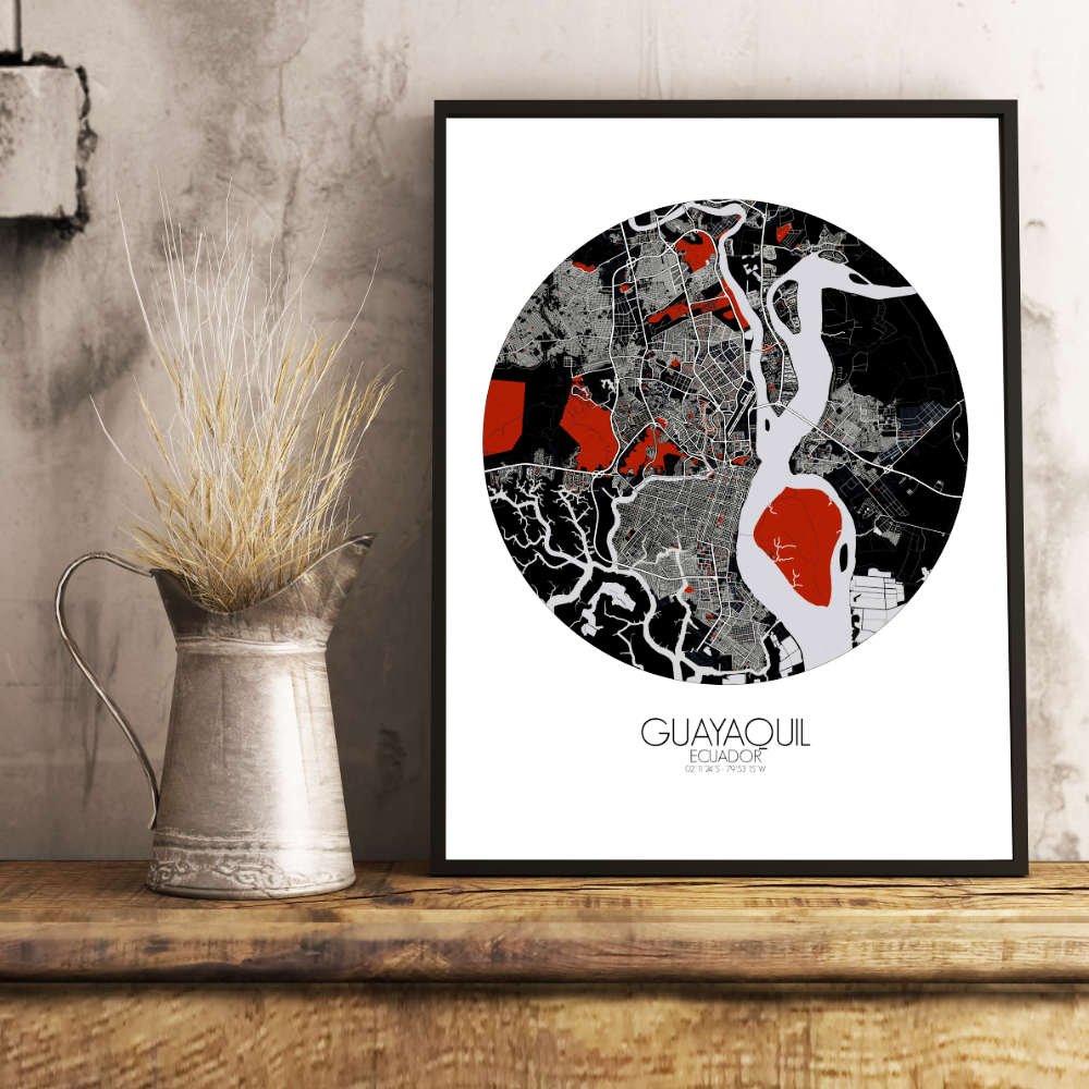
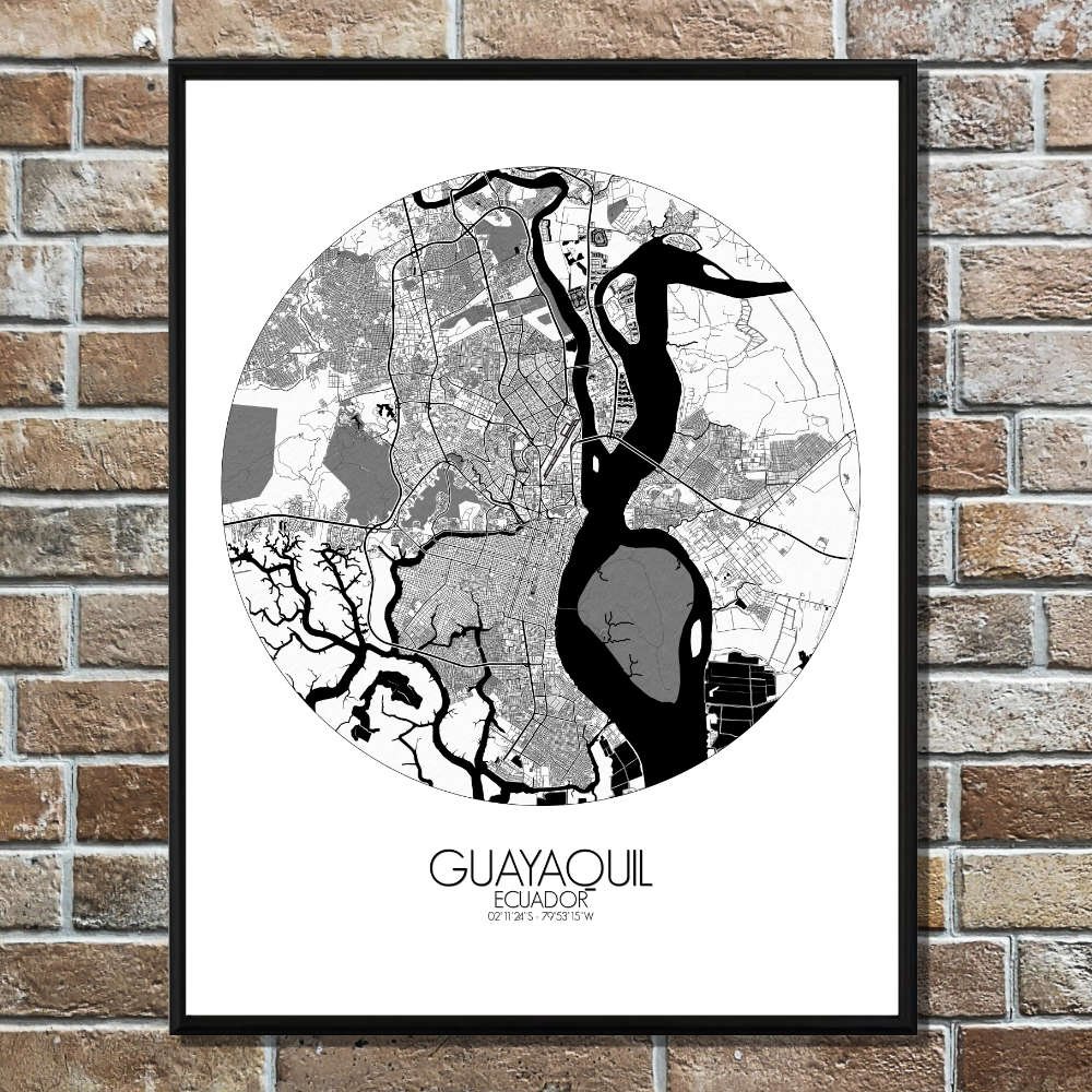
Poster City map of Guayaquil, Ecuador: it is a city that’s always in motion—like the river that runs through it—constantly evolving while keeping one foot in its rich history.
Guayaquil is a city with a distinct geographical identity, lying along the banks of the Guayas River and stretching out toward the Pacific Ocean. The map captures the sweeping curves of the river, which is not just a geographical feature, but the lifeblood of the city, connecting it to the larger world through its busy port. At the center of the map, you’ll find the historic heart of the city, with the iconic Malecón 2000 running along the riverfront, offering both locals and visitors a relaxing escape from the urban pace. The river itself, which winds through the city, gives a natural boundary between the newer commercial areas and the older, colonial districts. From this vantage point, you can trace the picturesque streets of Las Peñas, Guayaquil’s oldest neighborhood, where colorful houses cling to the hillside like old friends catching up over a cup of coffee.