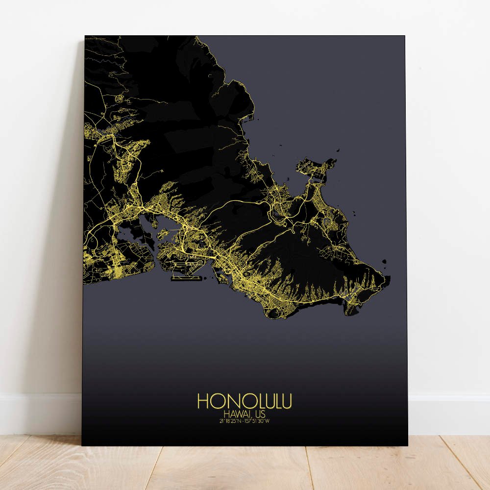
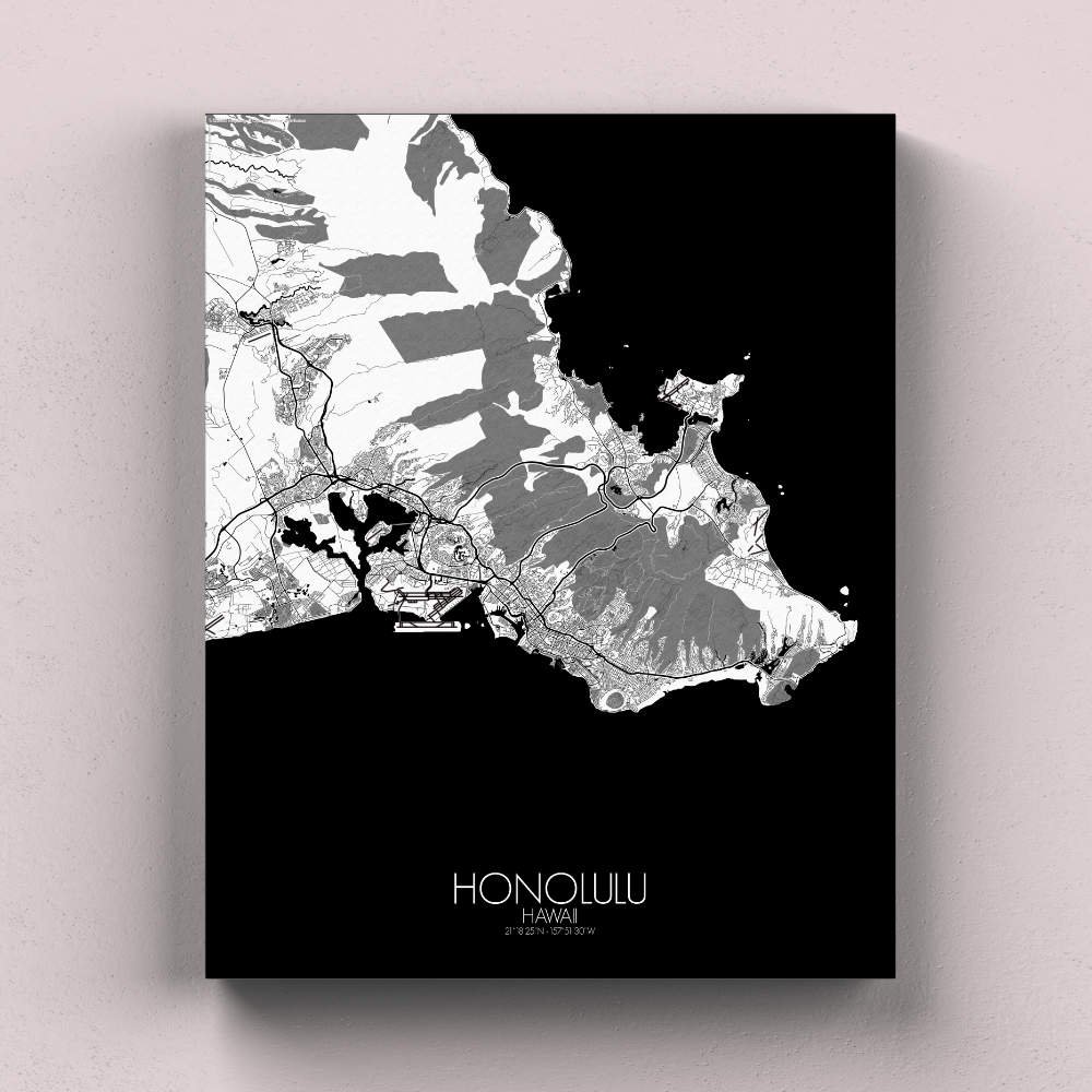
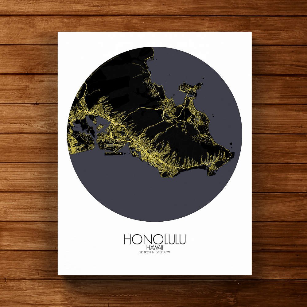
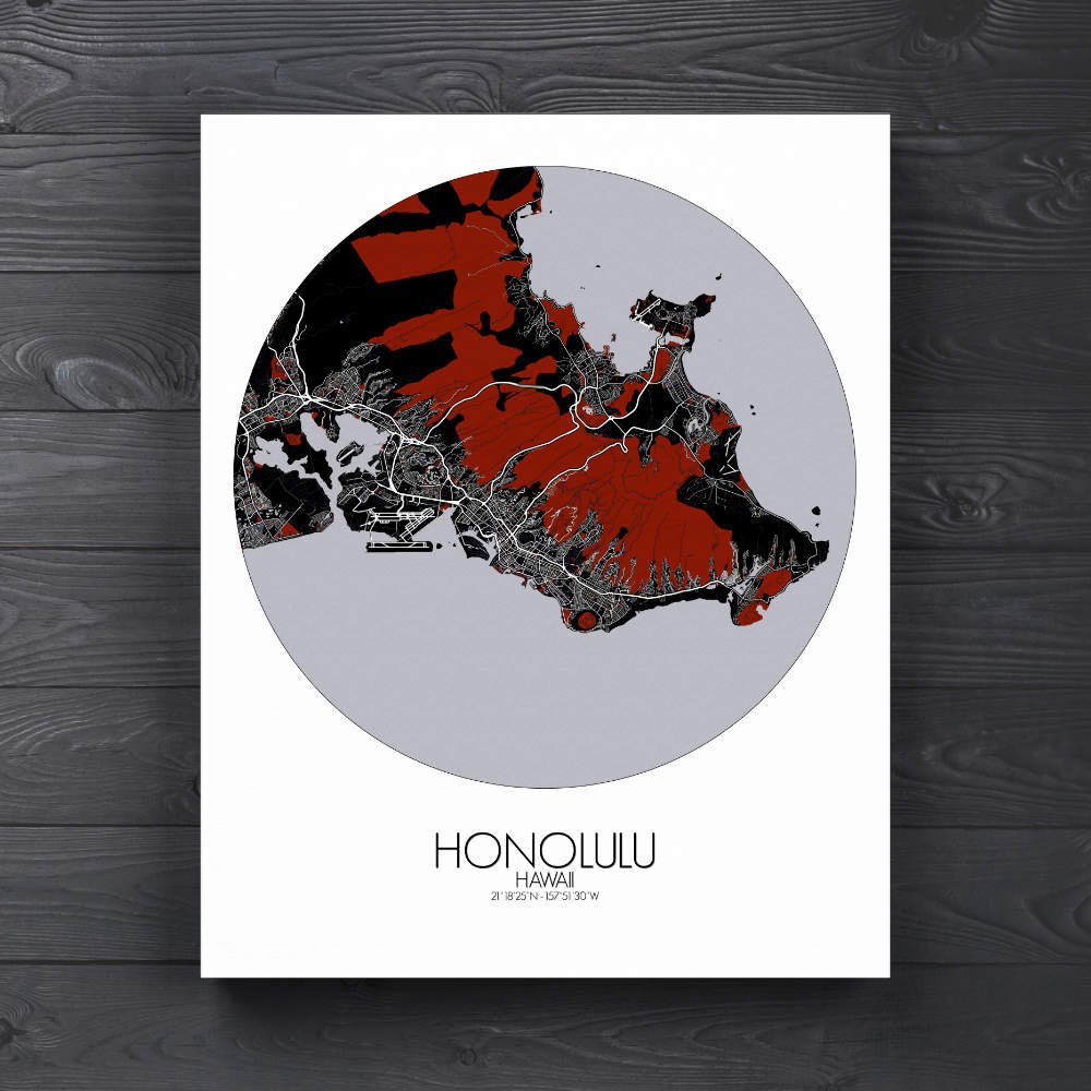
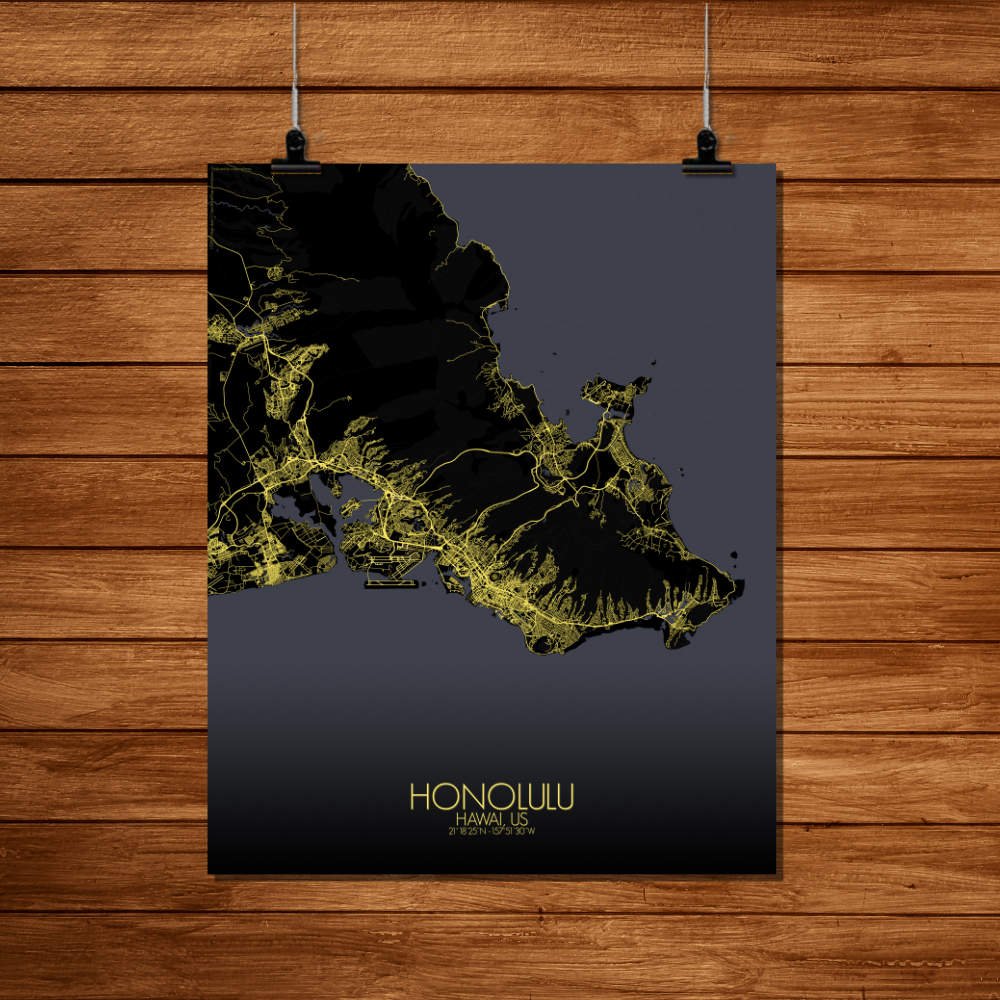
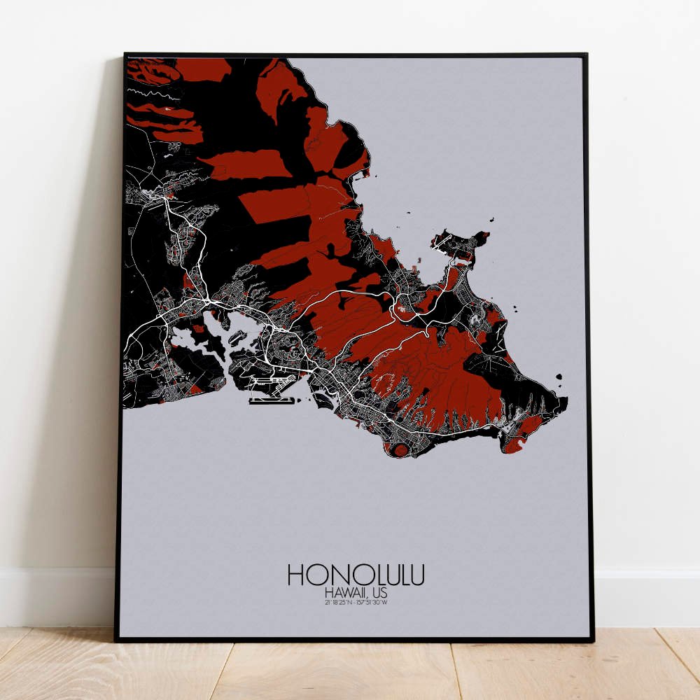

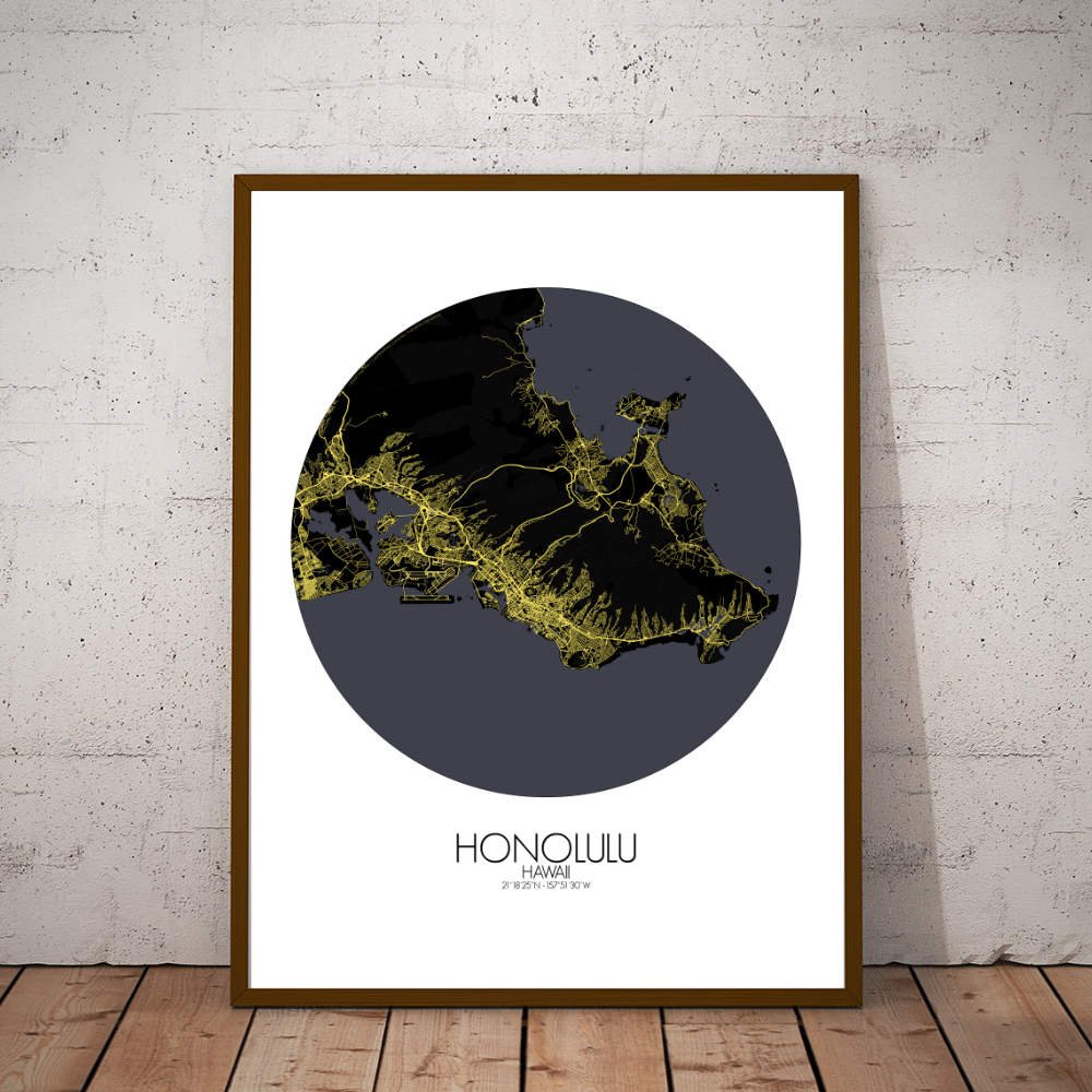
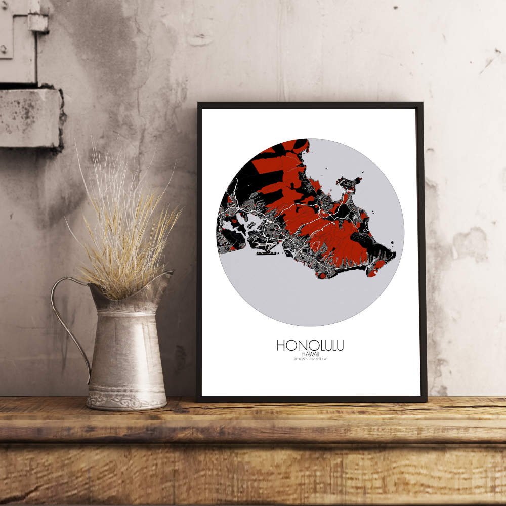
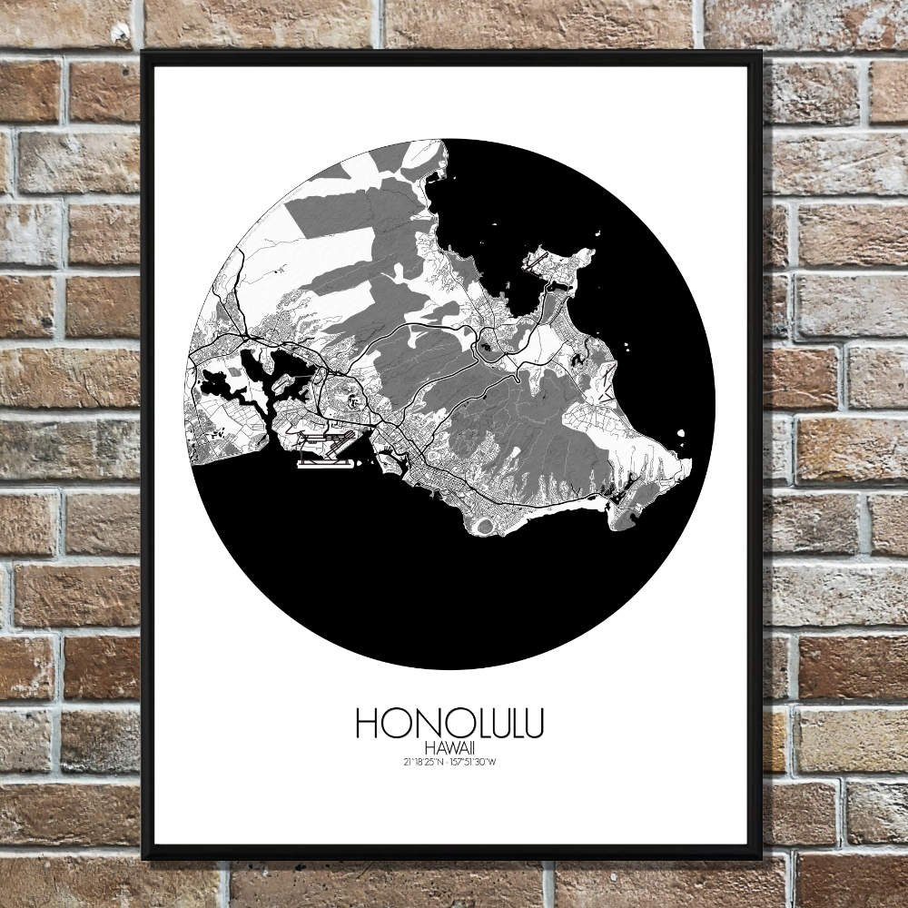
Poster City map of Honolulu, Hawai: Whether you’re drawn to its sweeping coastline, its volcanic origins, or its historical landmarks, the map of Honolulu offers a striking and thoughtful representation.
Honolulu, the heart of Hawaii, sits like a jewel on the southern shore of the island of Oahu, and its map reveals the city’s unique blend of natural beauty and urban life. Framed by the sparkling blue waters of the Pacific Ocean, the city is bordered by a backdrop of steep, volcanic mountains that rise dramatically from the coastline. These iconic peaks, such as the jagged ridges of the Koolau Range, draw your eye as they trace the natural borders of the city. The map’s topography captures these rugged hills, with their deep valleys and lush vegetation, which tell the story of a land shaped by both fire and water over millions of years. The flat expanses of Honolulu’s urban areas sit comfortably between these natural giants, offering a sharp contrast of streets, parks, and historical landmarks. At the heart of it all is the famous Diamond Head, an extinct volcanic crater that looms over the city like a watchful guardian. Its silhouette is as iconic as the palm trees swaying along Waikiki Beach, where surfers carve the same waves that have been ridden for centuries. These landmarks give the map a sense of both history and ongoing adventure, from ancient Hawaiian voyagers to modern-day explorers.