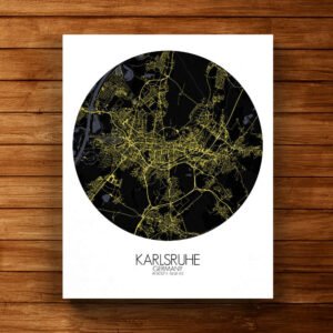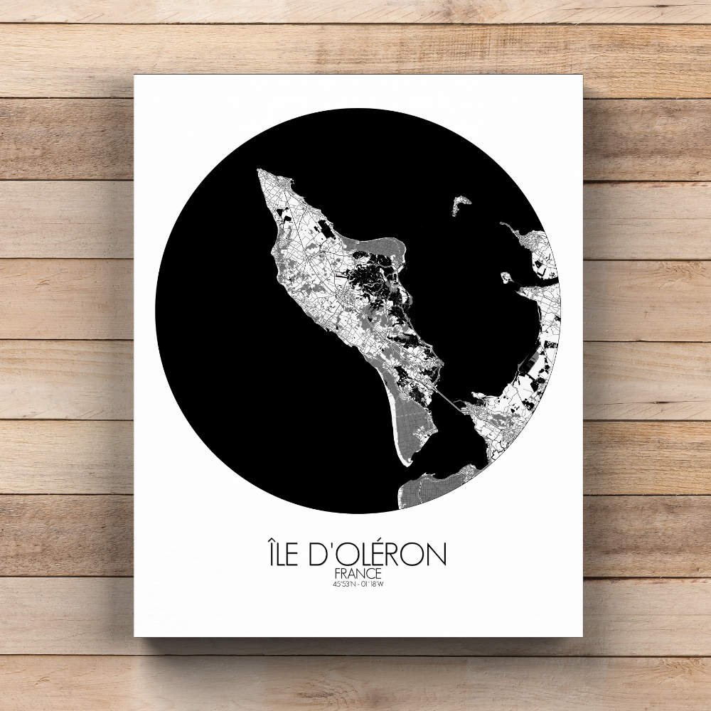
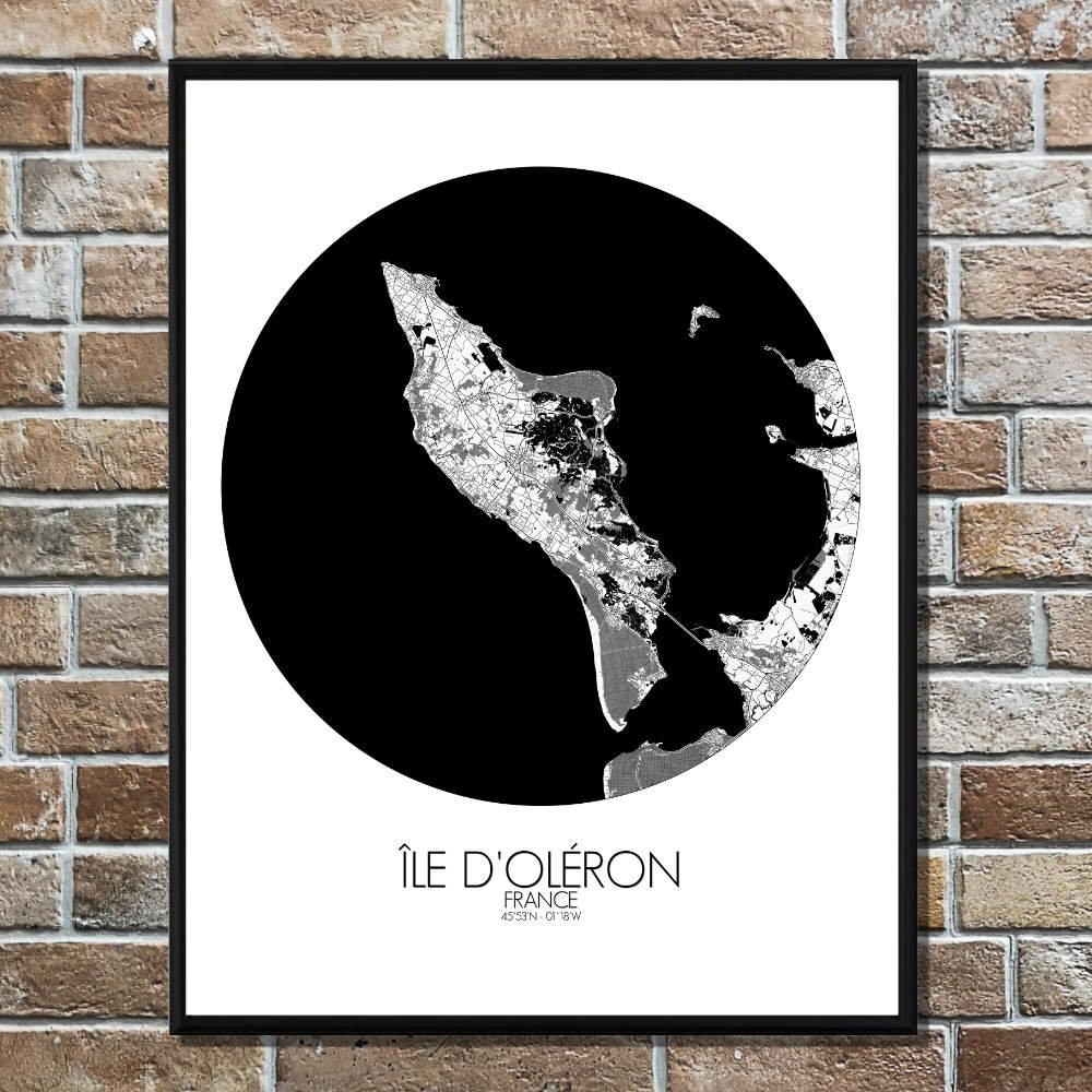
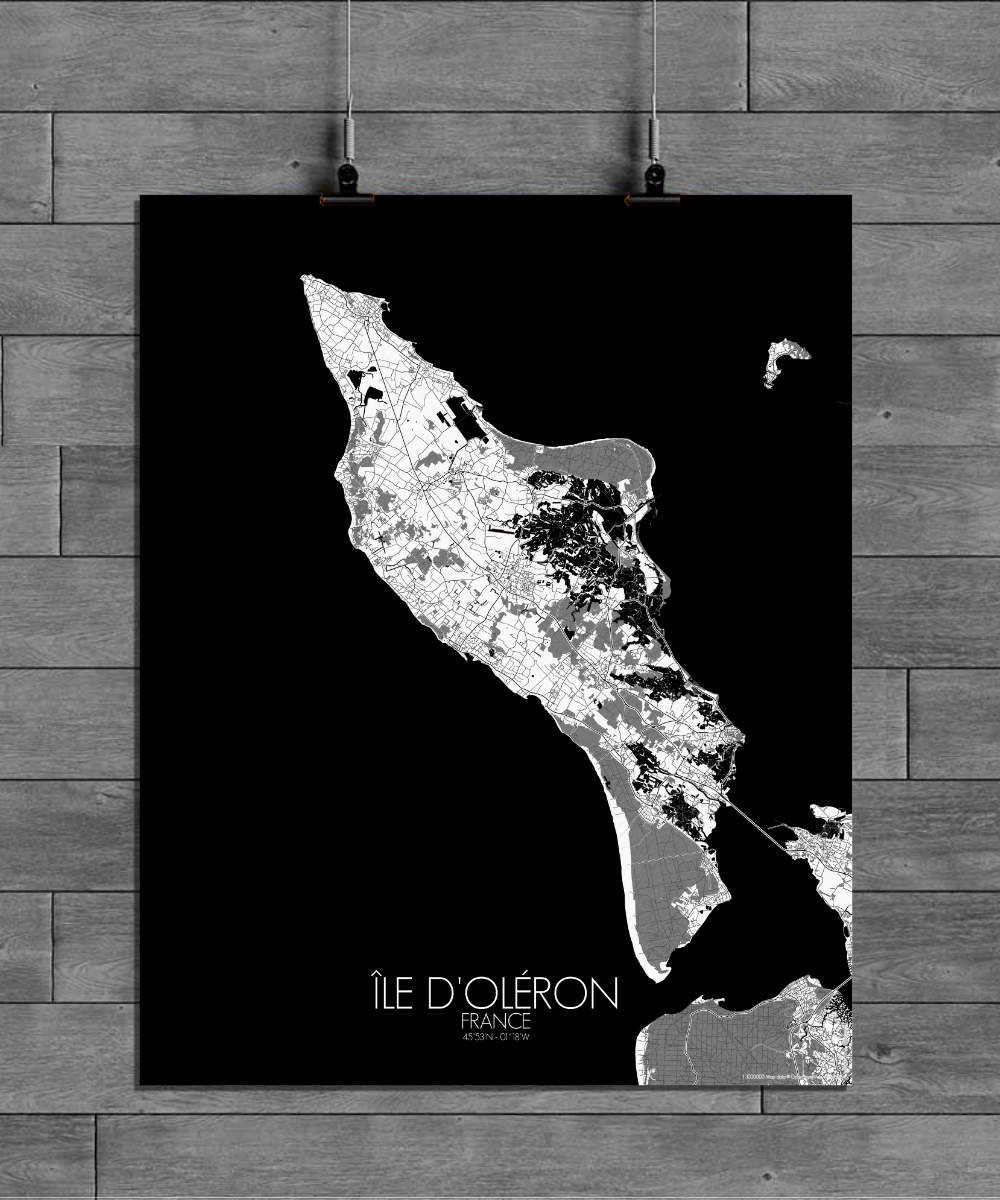
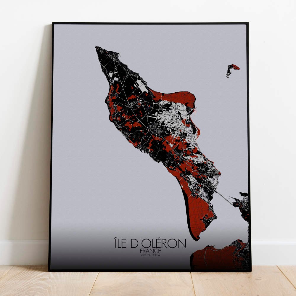
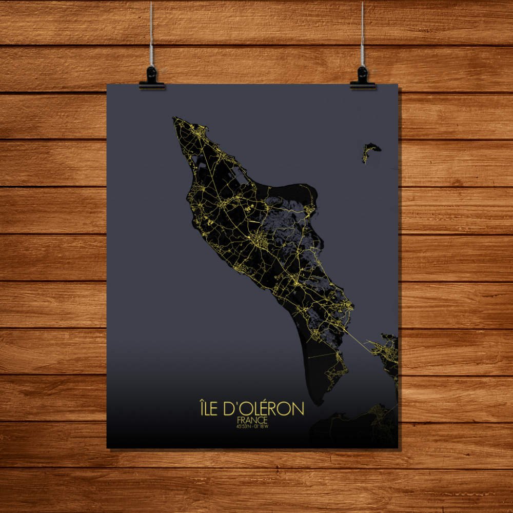
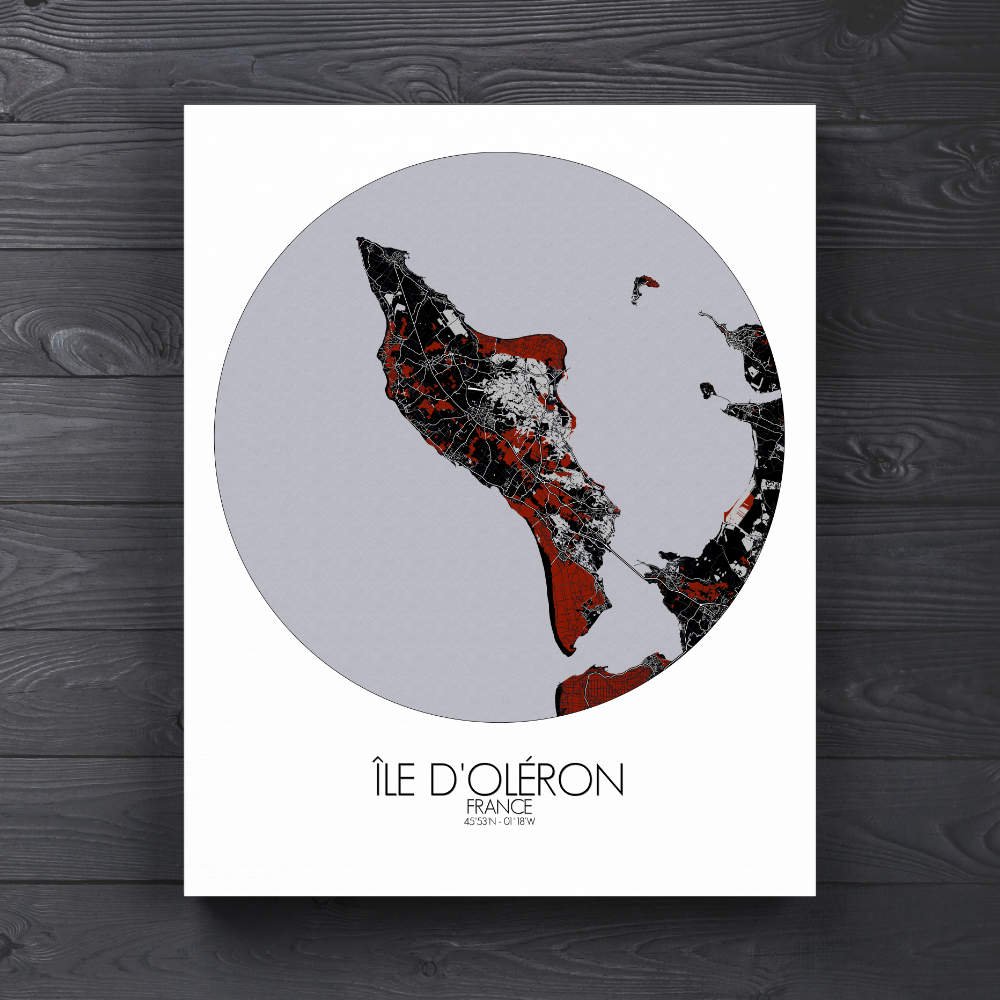
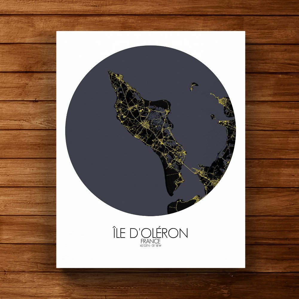
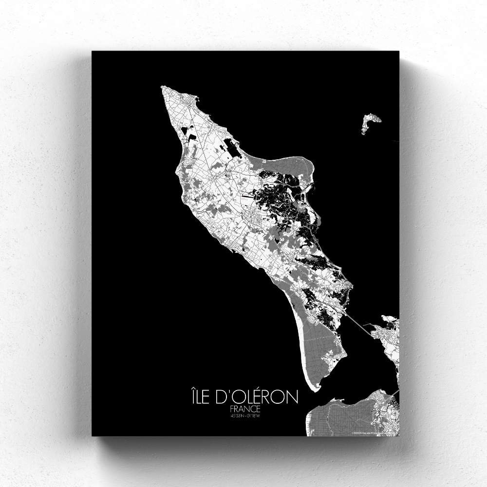
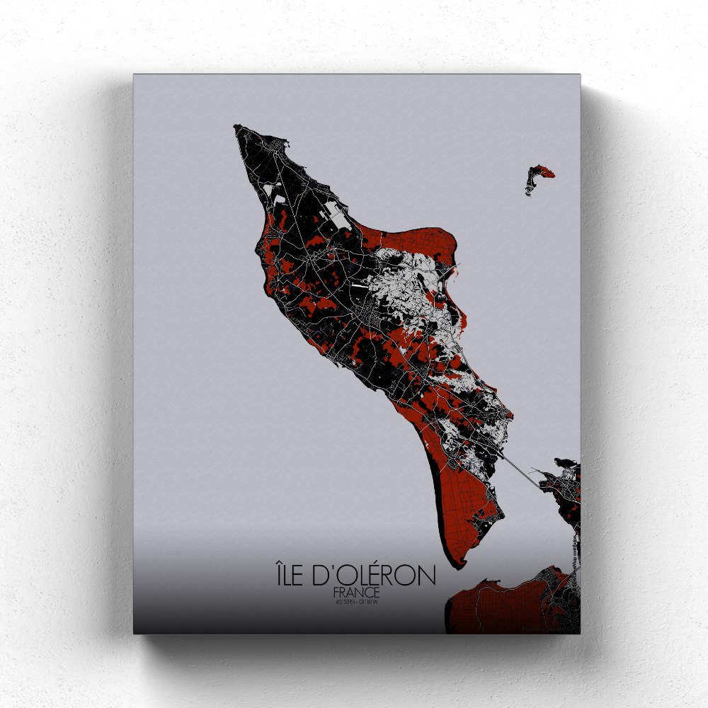
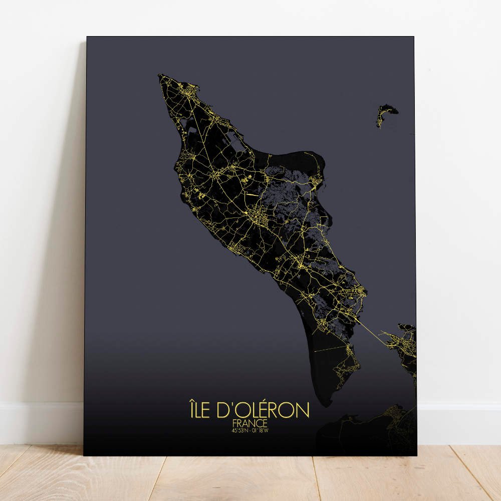
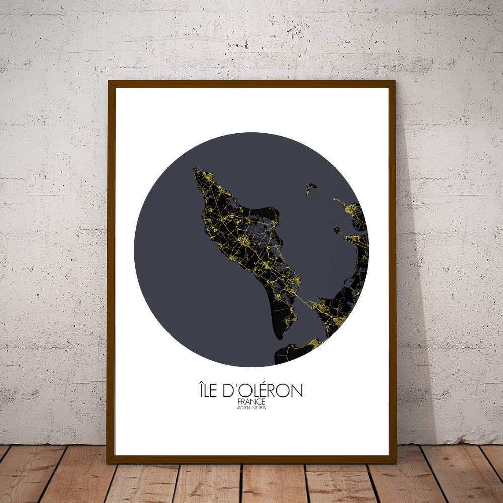
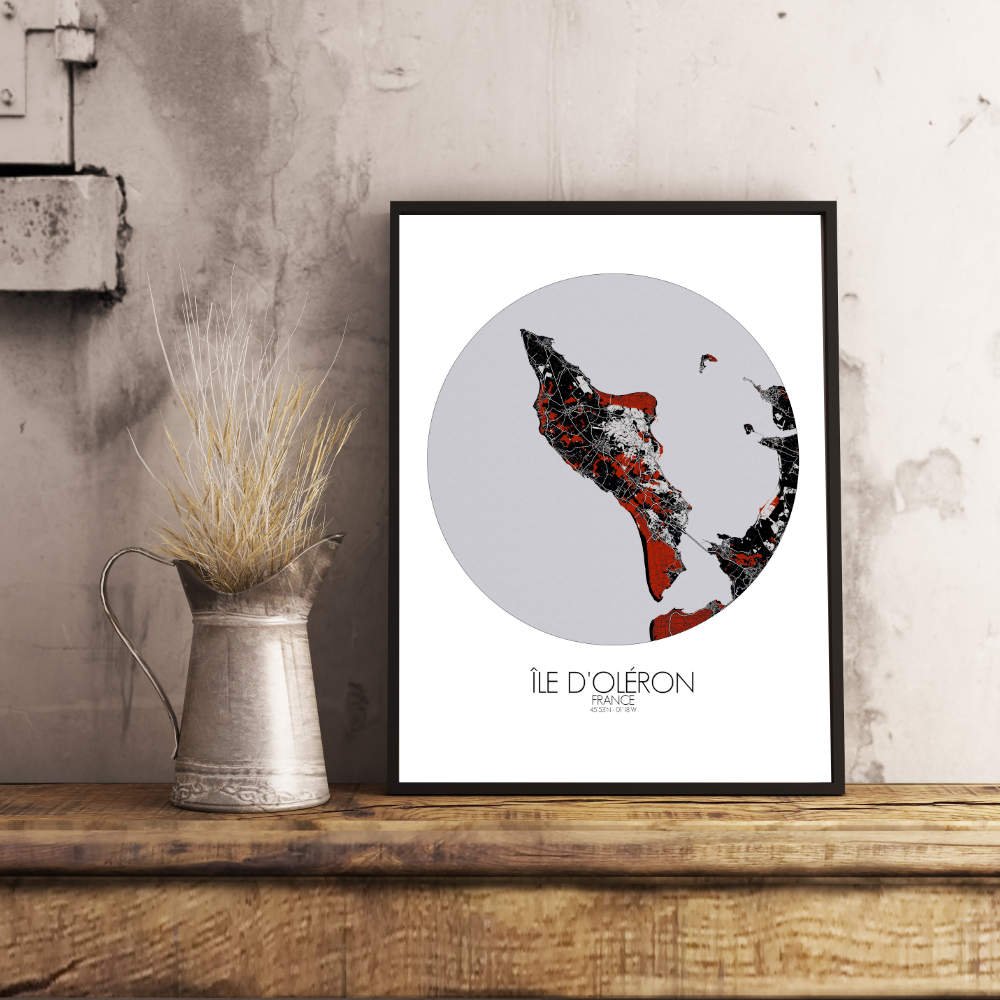
Poster City map of Oléron, France: From its historic lighthouses, like the Phare de Chassiron, to its quiet coastal roads, Oléron is a place where nature and history collide in a seamless and inviting way.
The City map of Oléron, an island off the western coast of France, offers a captivating view of a landscape shaped by both the sea and time. Oléron, often referred to as “The Island of Light,” is a place where the land meets the Atlantic Ocean in a series of gentle curves, sandy shores, and tranquil bays. The map highlights the island’s low-lying terrain, with vast marshes and tidal flats to the south, gradually giving way to sandy beaches and pine forests. One of the most striking features on the map is the forested expanse of the Forêt de Saint-Trojan, which covers much of the island and offers a lush green backdrop to the coastal villages. These pockets of greenery stand in contrast to the open, flat stretches of land that were once crisscrossed by ancient salt marshes—an industry that helped put Oléron on the map centuries ago. The map also draws attention to the network of bike paths and walking trails that weave through the island, encouraging exploration of its diverse landscapes, from quiet beaches to charming villages.