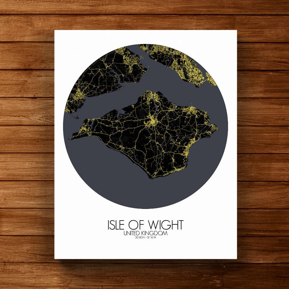
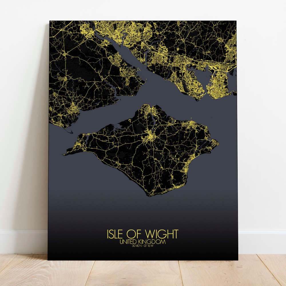
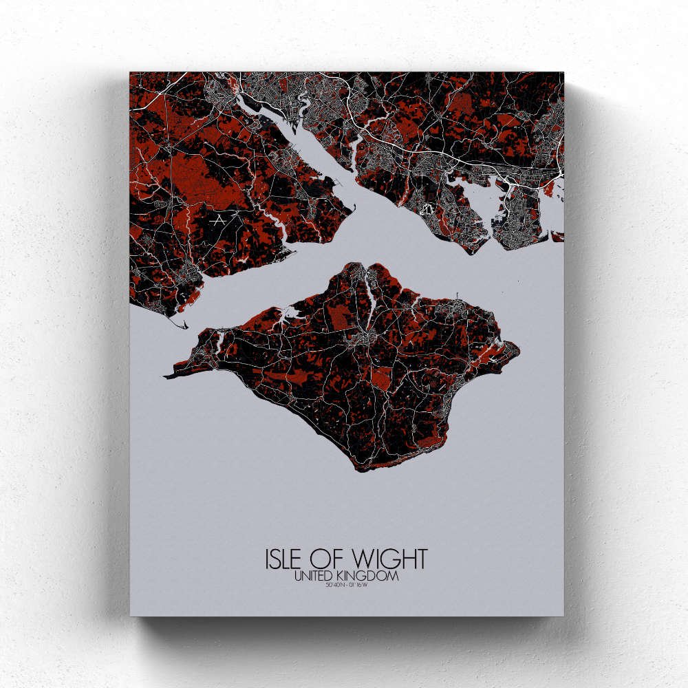
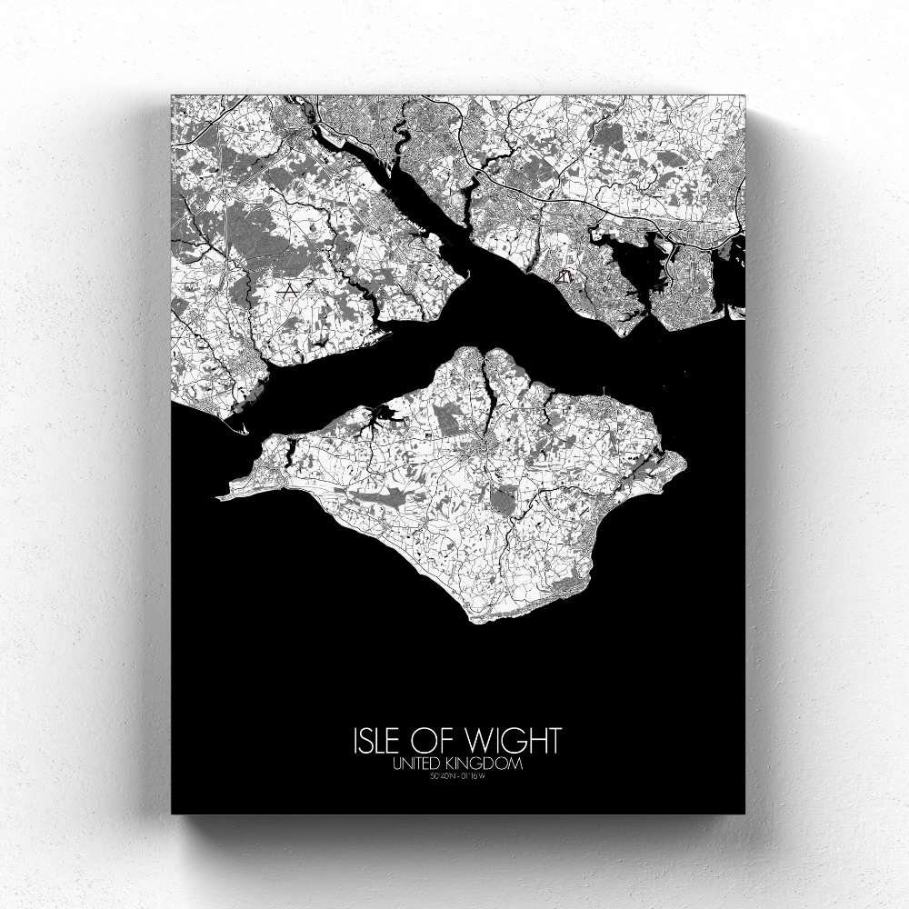
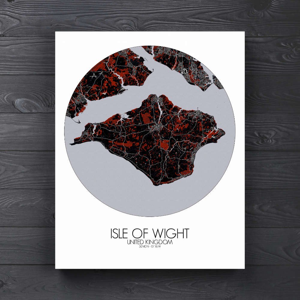
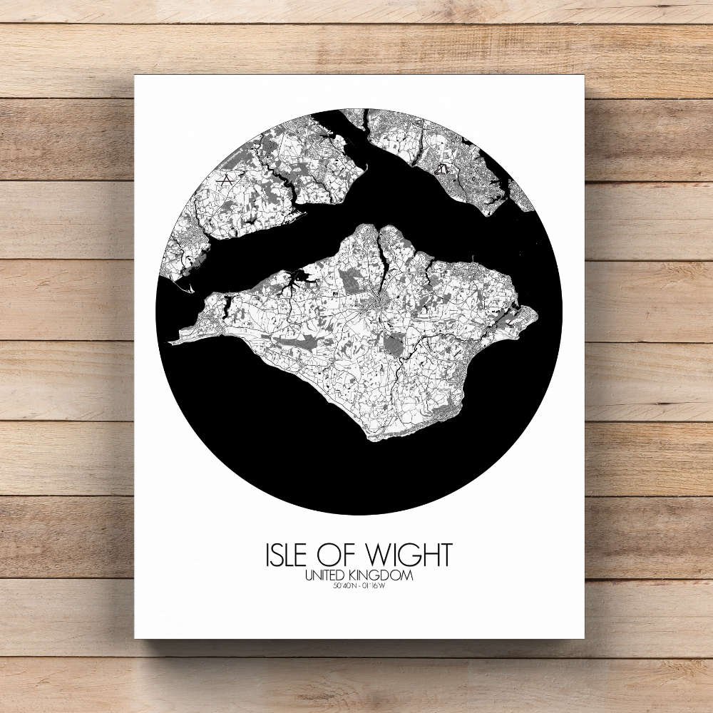
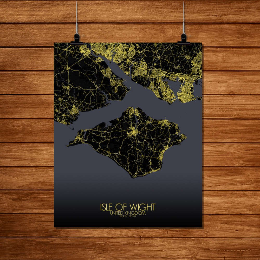
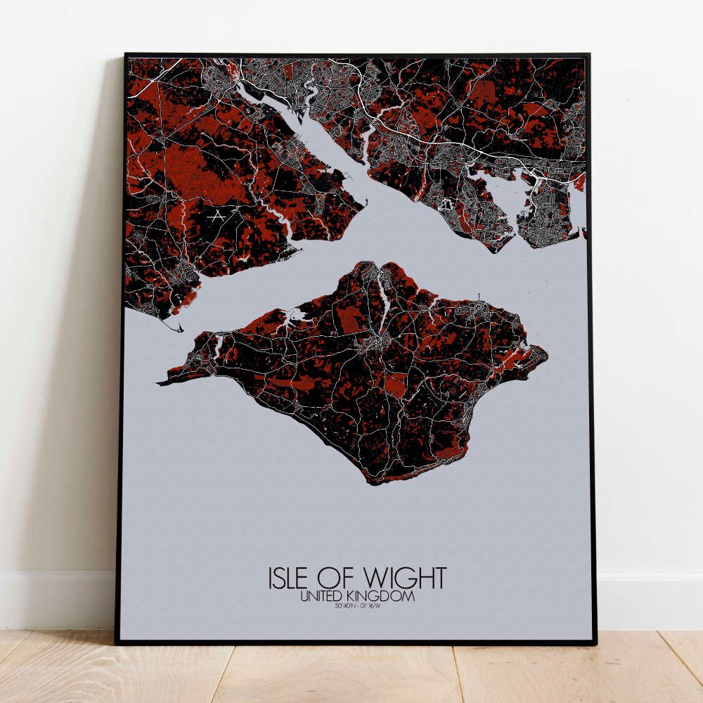
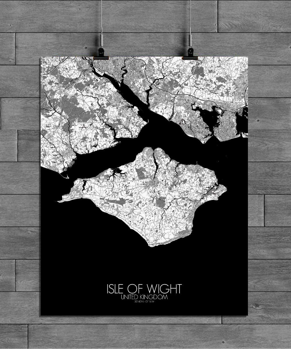
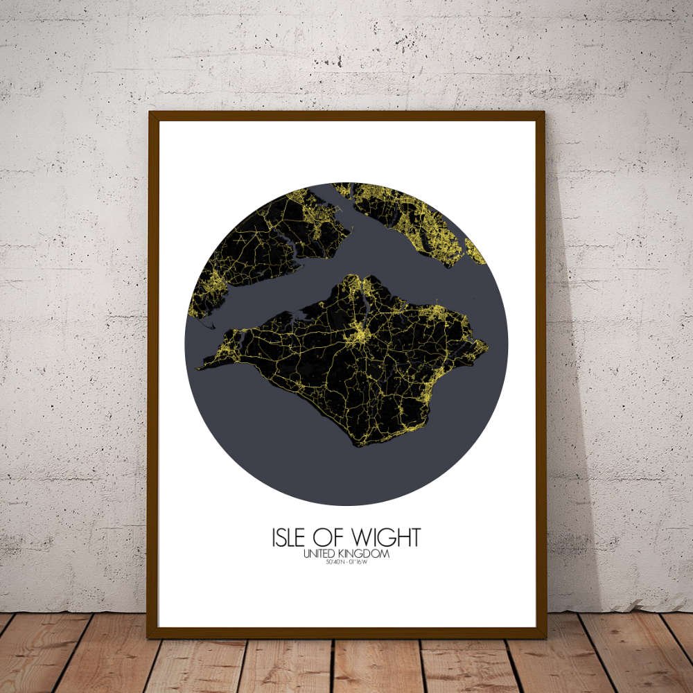
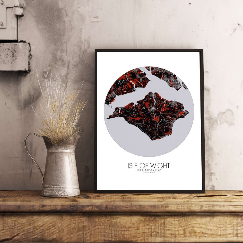
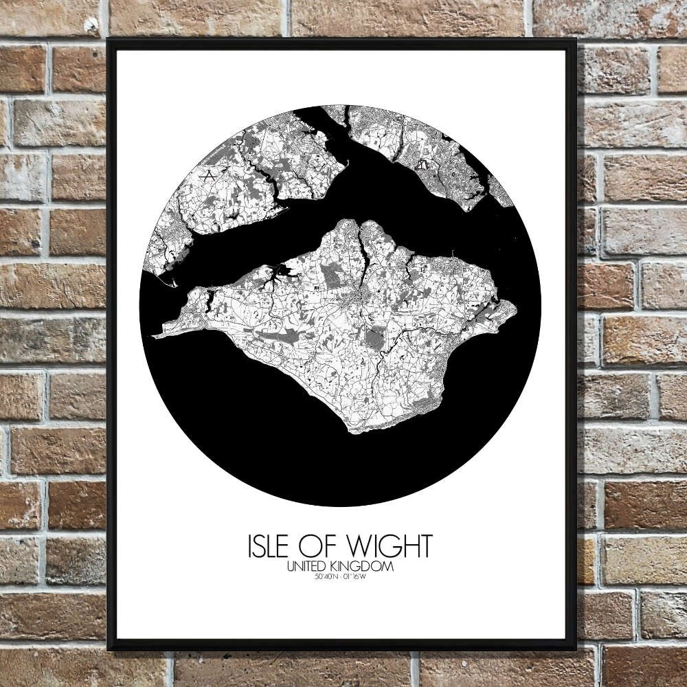
Poster City map of Isle of Wight, UK: an invitation to journey through an island rich with both natural beauty and historic significance.
The island’s topography is truly its crown jewel. From the towering white chalk cliffs of the Needles at the western tip, to the rolling hills of the central downs, the map invites you to explore the island’s dramatic natural features. Not to mention the serene, sandy beaches that lace the southern shores, perfect for a leisurely stroll or a moment of quiet contemplation. Greenery is everywhere on this map, from the expansive parklands of Osborne House, Queen Victoria’s seaside retreat, to the dense woodlands of the Island’s many nature reserves. Ventnor Botanic Garden sits at the foot of the island’s southern slopes, a hidden gem where subtropical plants thrive in the mild climate. For lovers of history and legend, this map provides a treasure trove of landmarks. There’s Carisbrooke Castle, once the prison of King Charles I, standing proudly in the island’s heart, its stone walls full of stories from centuries past. To the west, the mysterious Needles, named for their towering rock formations that have sparked tales of seafaring adventure. And not far from there, you can trace the quaint paths leading to charming villages like Yarmouth, where the 19th-century pier still welcomes ferries and fishermen alike.