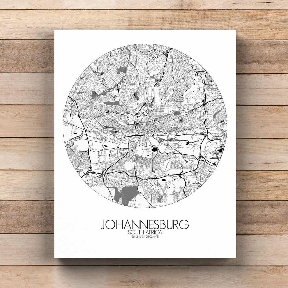
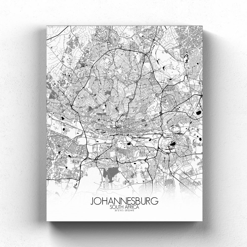
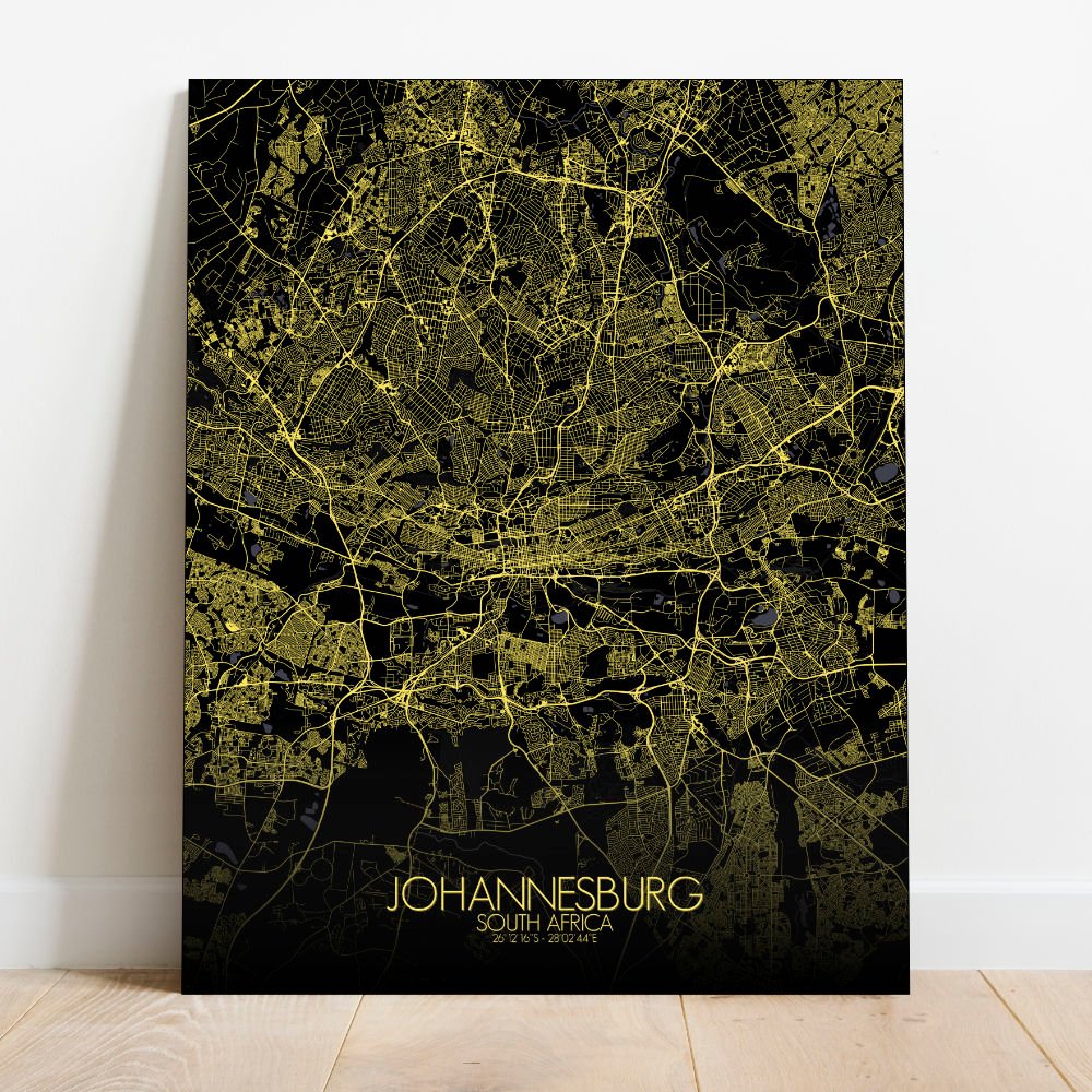
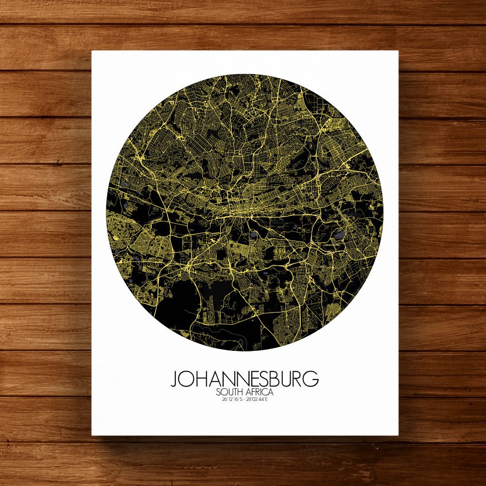
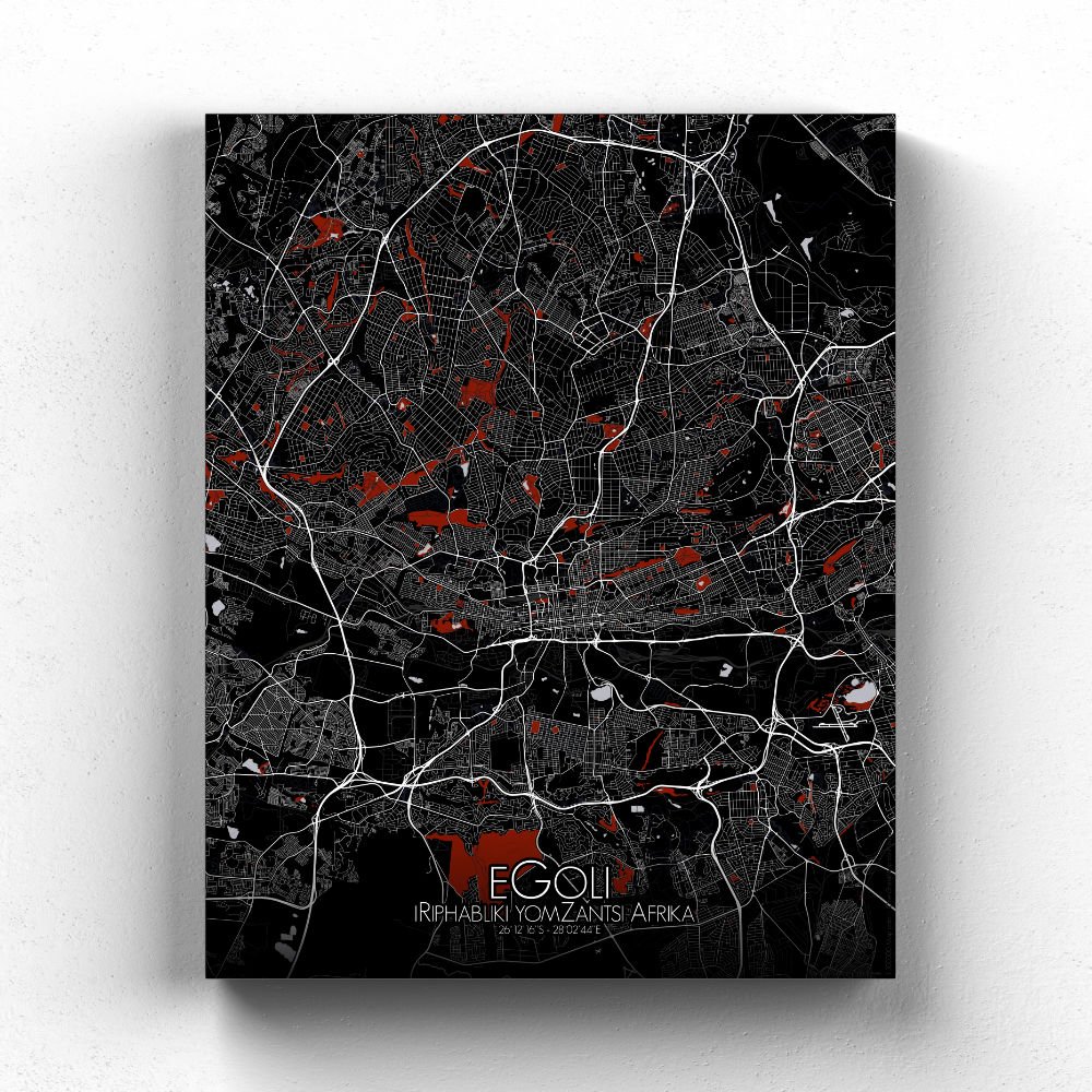
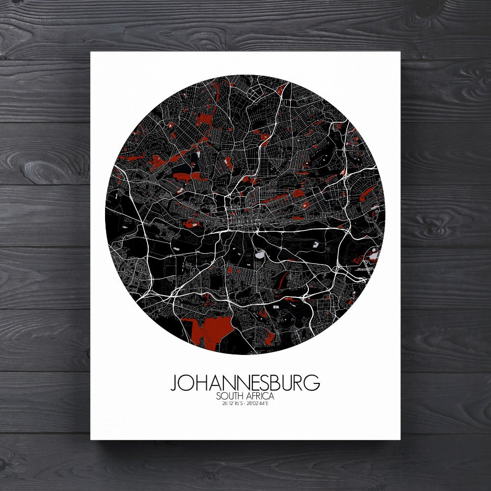
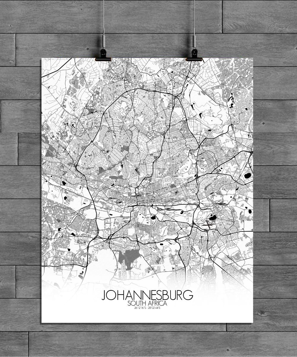
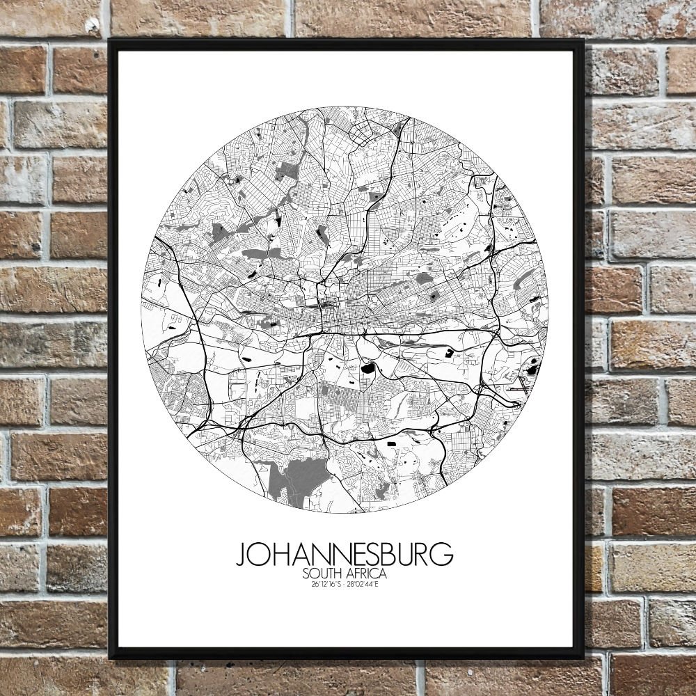
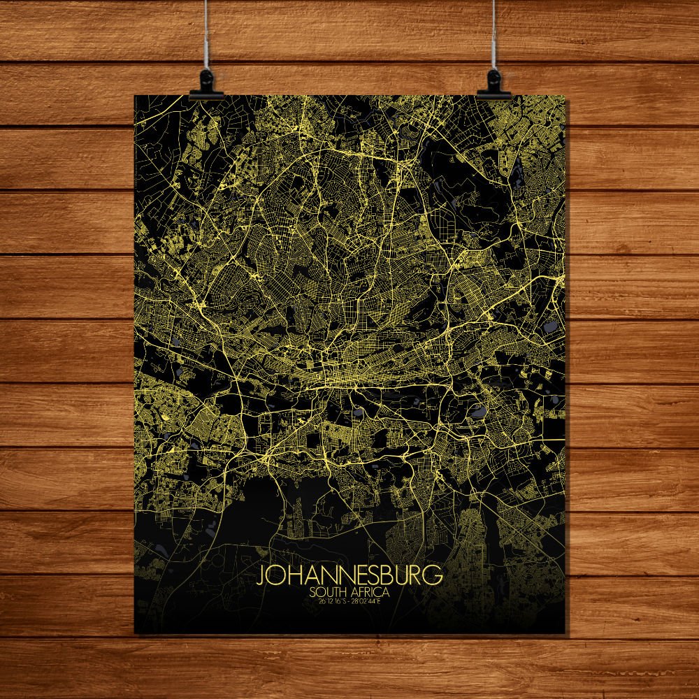
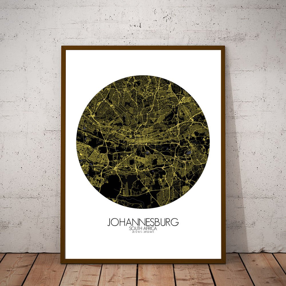
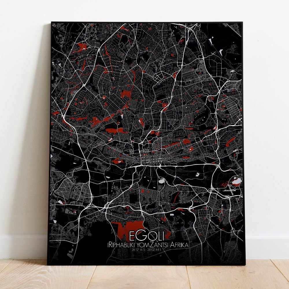
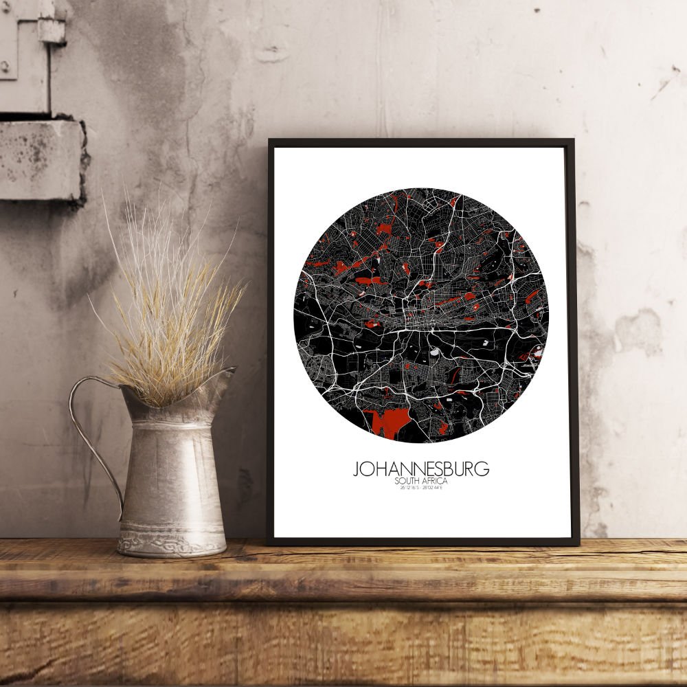
Poster City map of Johannesburg, South Africa: “Joburg” as it’s affectionately called, is a city built on the land where gold was first discovered, and this map captures the rugged beauty and dynamic spirit of the city in all its topographical detail.
Nestled on the highveld, Johannesburg’s landscape is a patchwork of hills and valleys that rise from the flat plains, with some areas standing at an elevation of over 6,000 feet. This gives the city a unique mix of sweeping views and dramatic slopes, particularly in areas like the leafy suburbs of the northern parts, where rolling hills make for a striking contrast against the sprawling urban development below. The map of Johannesburg reveals not only its terrain but also its greenspaces, which offer an escape from the pulse of the city. The famous Johannesburg Botanical Gardens, with its peaceful lakes and large, shady trees, is an oasis amidst the urban buzz. Nearby, the vast and scenic Klipriviersberg Nature Reserve provides a more rugged natural escape, offering views across the city’s vast expanse and a glimpse into Johannesburg’s history as a gold mining town, with old mine shafts scattered throughout the area. In the heart of the city, the sprawling urban areas are broken up by green parks and trees, with landmarks like the iconic Gold Reef City—a theme park built around Johannesburg’s rich gold mining past. To the south, the famous Soweto township stands as both a symbol of resilience and a reminder of the city’s complex history, a place where the story of South Africa’s journey to freedom is written in every street.