
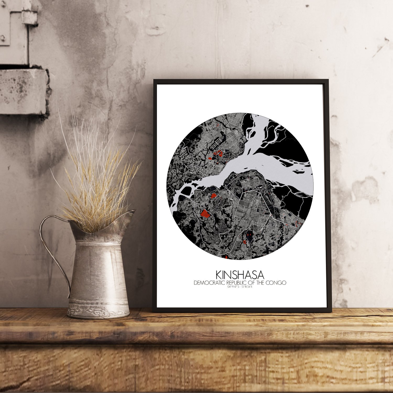

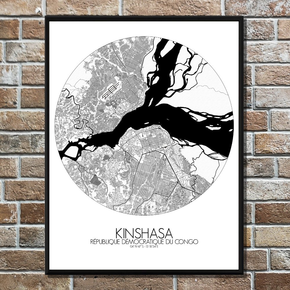
Poster City map of Kinshasa, DRC: Hang this map on your wall, and you hang a piece of living geography: a city drawn not only by planners and rivers, but by the memory of kingdoms, the beat of soukous, and the ever-curious eye of the traveler.
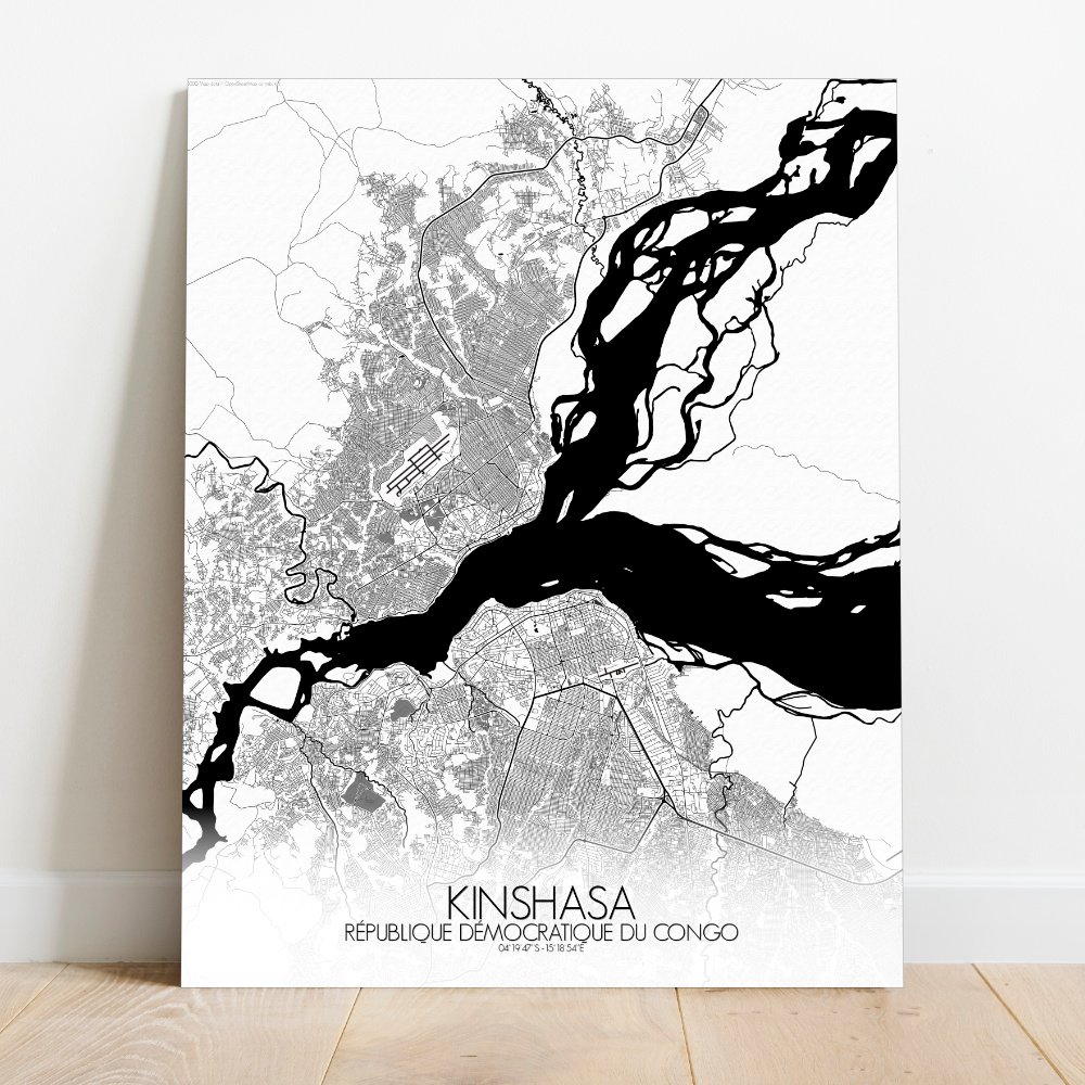
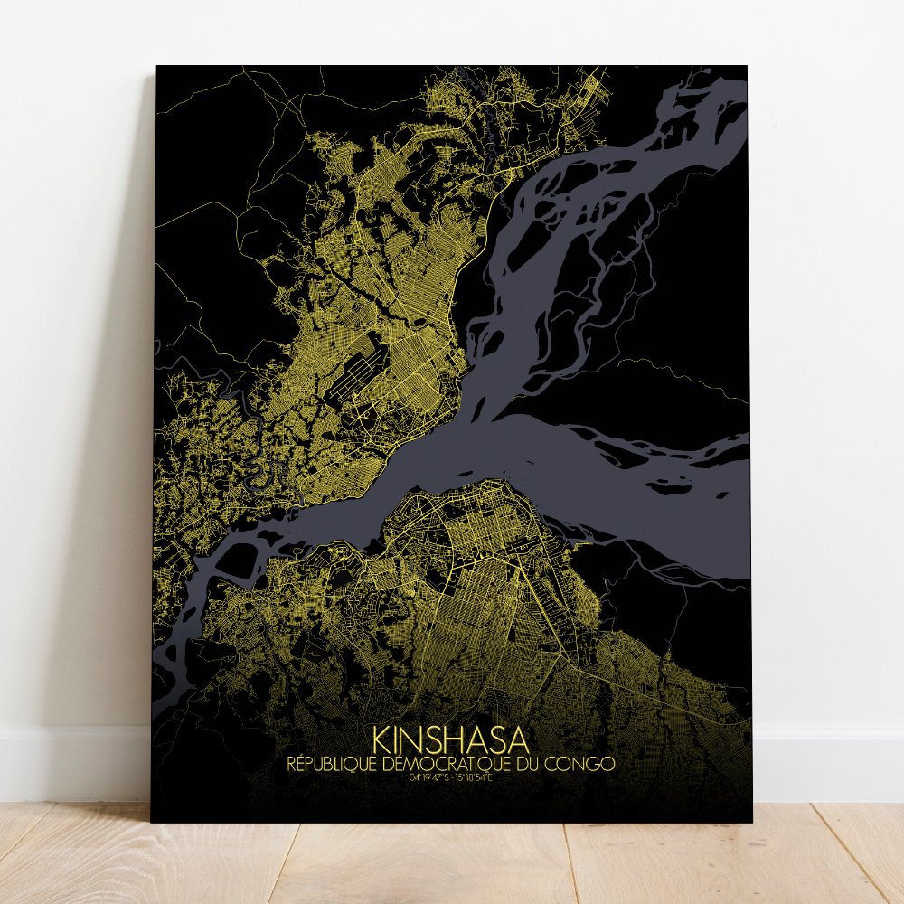
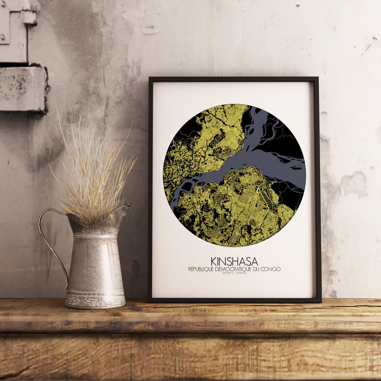
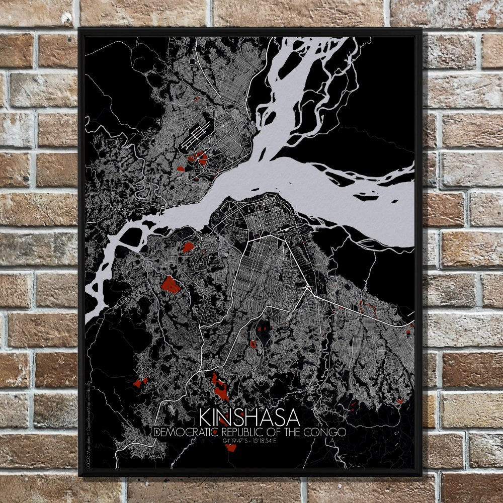
This map of Kinshasa, bold and sprawling along the banks of the mighty Congo River, is more than a view from above—it is a portrait of rhythm, land, and legend. Here, the river doesn’t merely pass by; it commands the stage. Wide, powerful, and never quite in a hurry, the Congo curves along the city’s edge like a storyteller pacing a tale. The terrain tells its own quiet story too. Gentle rises and valleys shape the land, especially in the east where low hills ripple out like the folds of old parchment. In between, the city stretches and sways, much like its music, with wide boulevards, busy markets, and neighborhoods that follow no single rule but their own. Look closer, and the map offers green pockets—places like the Ma Vallée forest and the Zoological Garden—where Kinshasa takes a breath amid the hum of daily life. Anchoring it all are landmarks both proud and peculiar: the National Museum stands with quiet dignity, while across the map, the towering silhouette of the People’s Palace keeps a watchful eye, half Parliament, half poetry. Somewhere nearby, the Académie des Beaux-Arts keeps its own revolution alive—with brushes, not bullets. Across the river lies Brazzaville, close enough to wave to, yet an entirely different capital—proof, perhaps, that the Congo doesn’t divide as much as it connects.