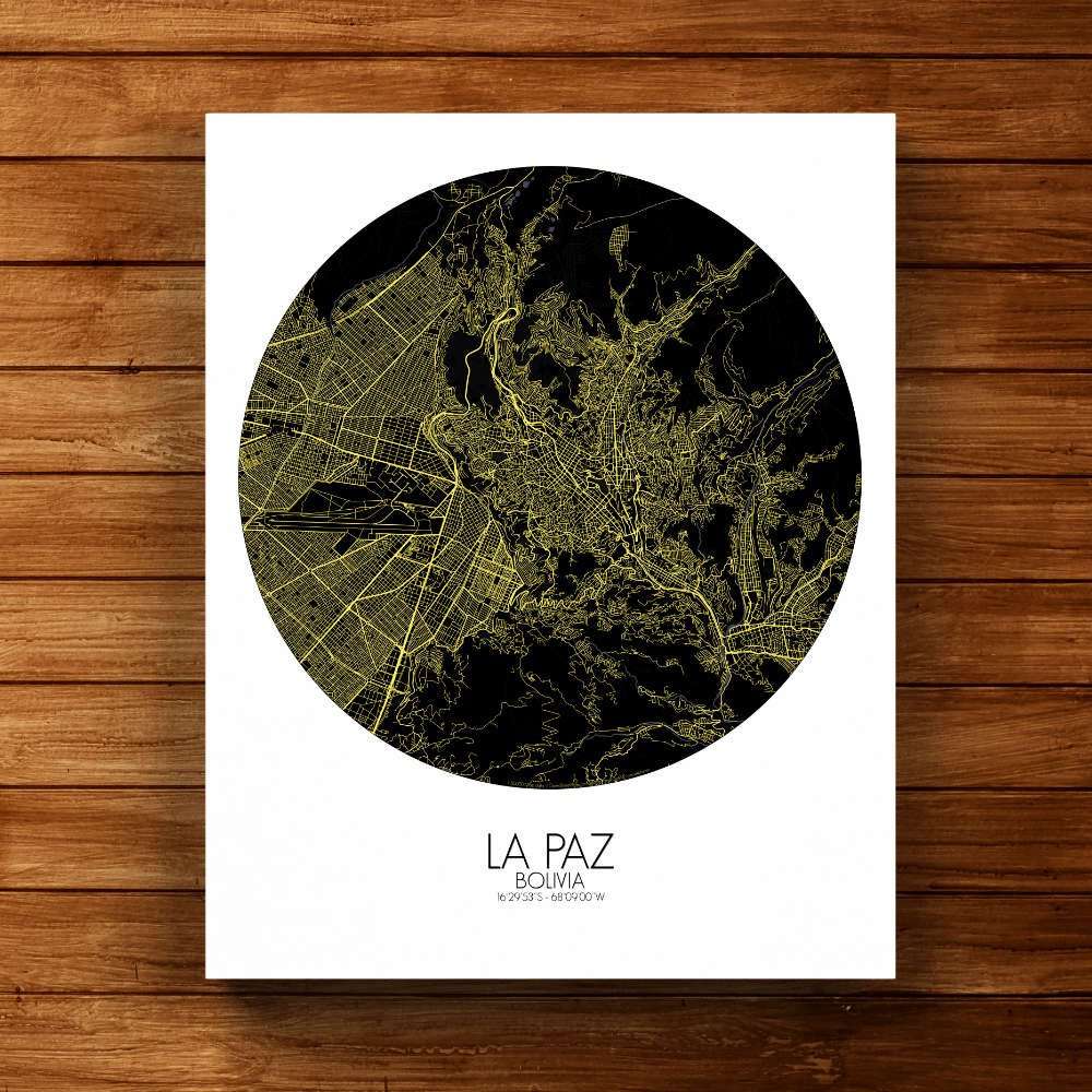
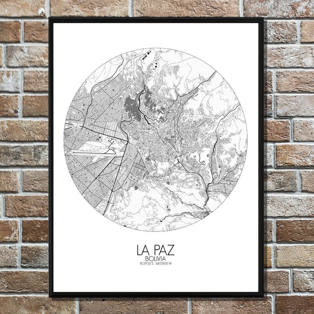


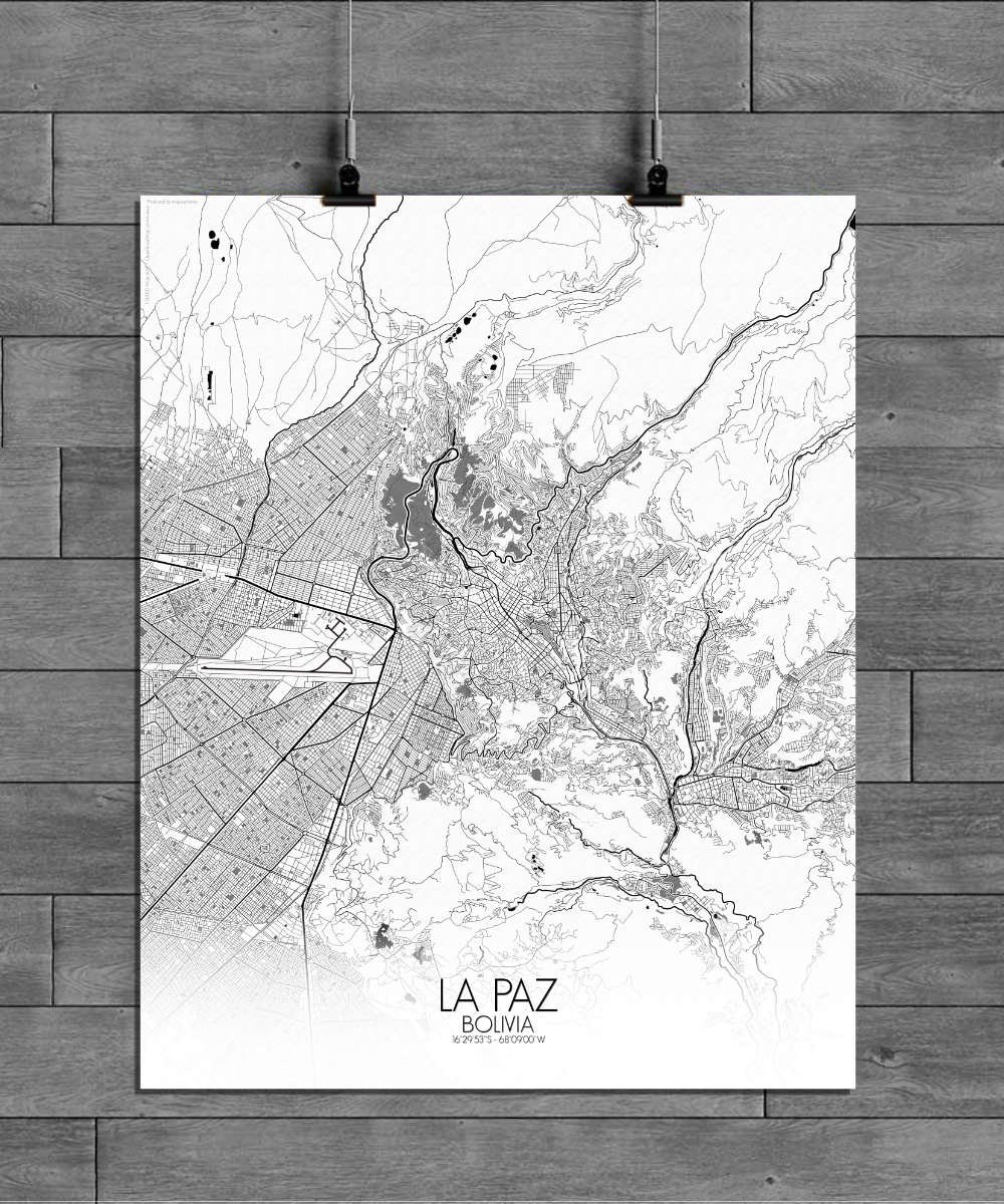
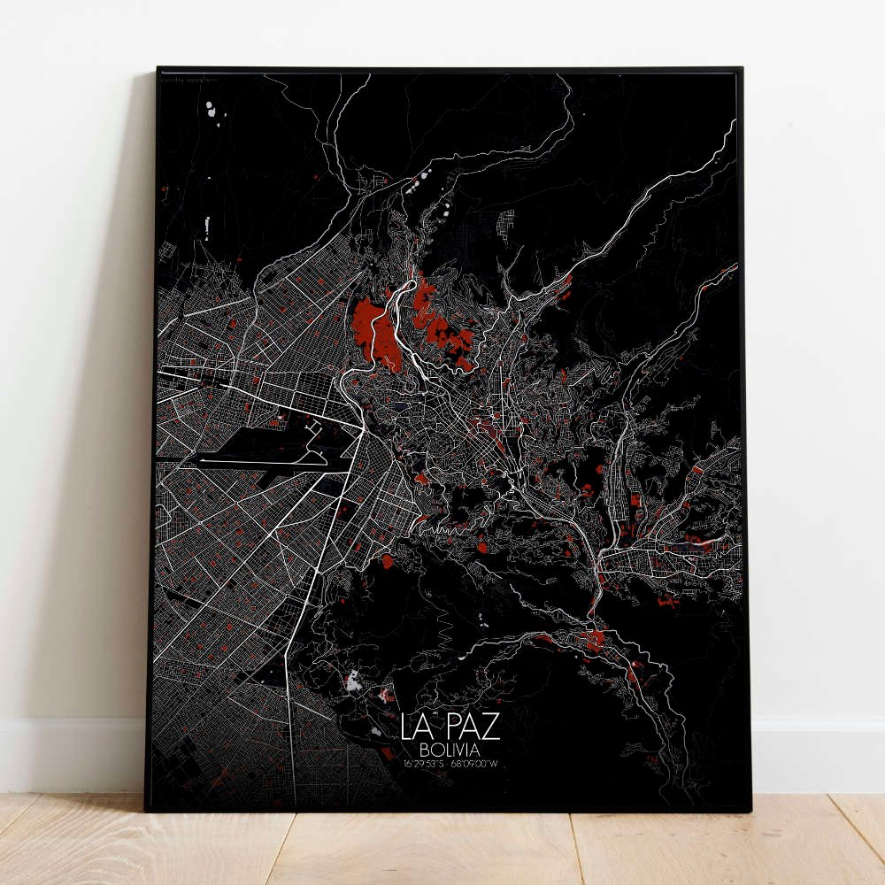

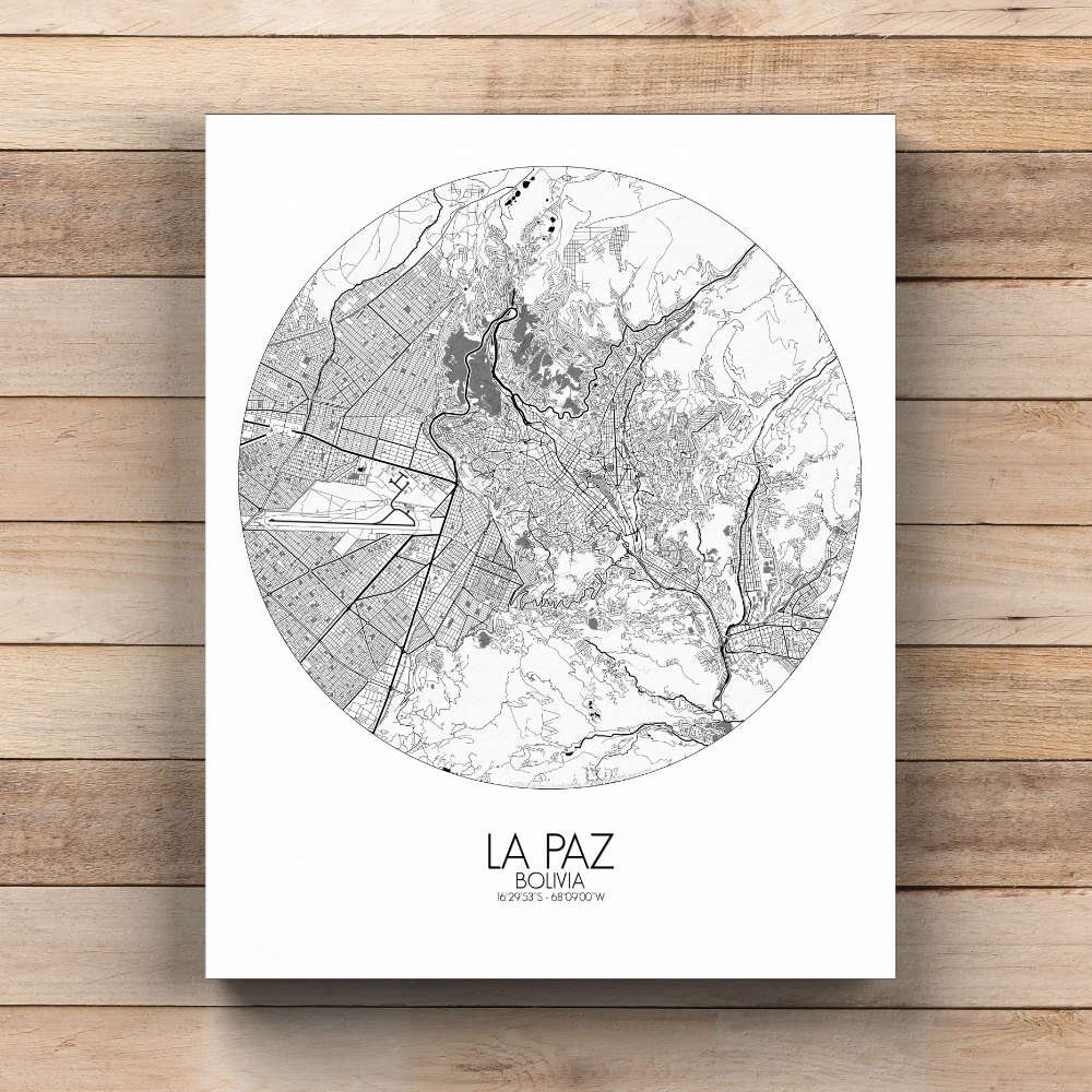
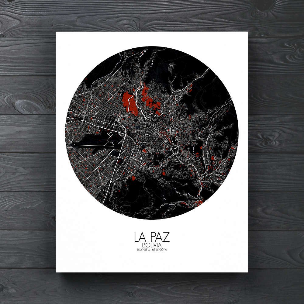
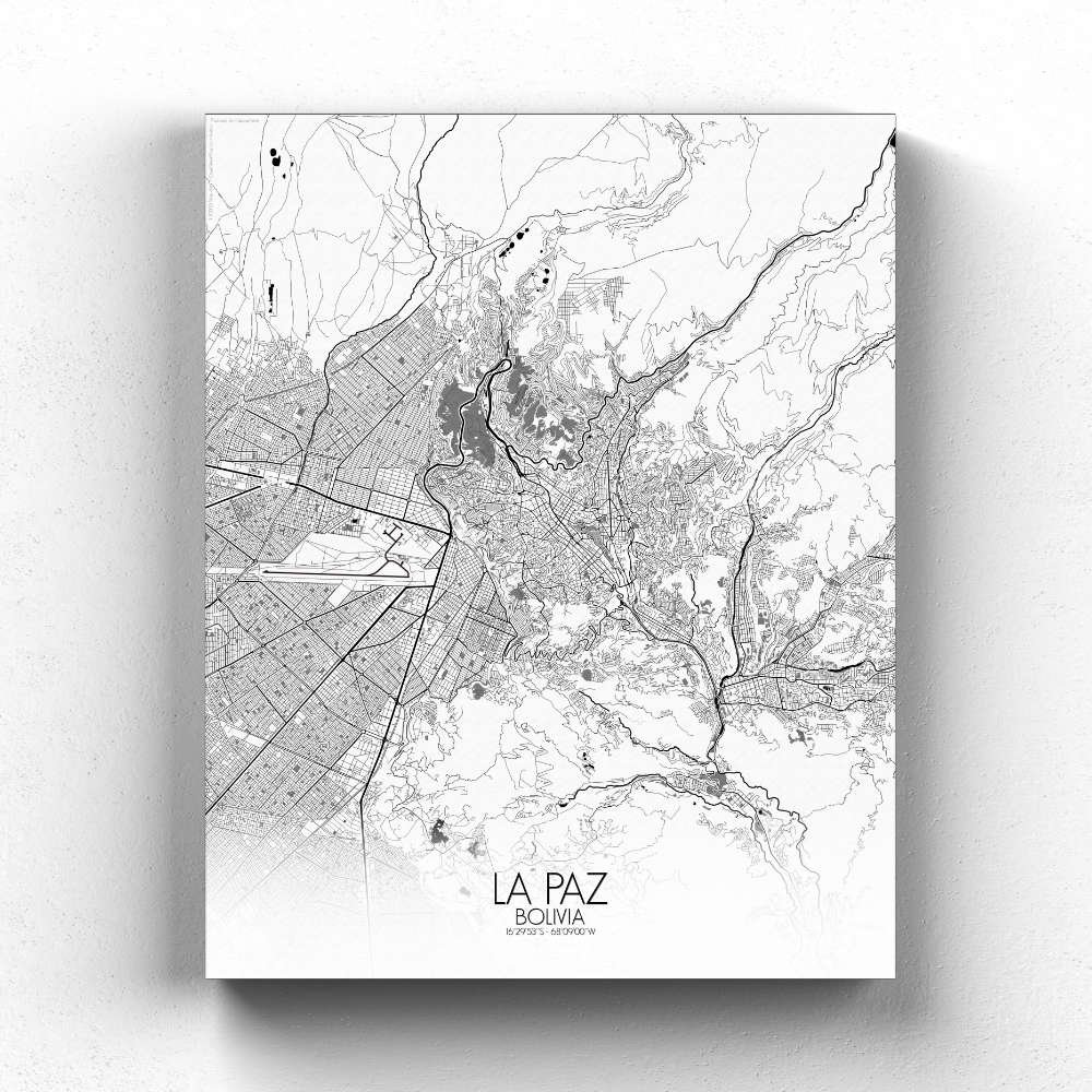
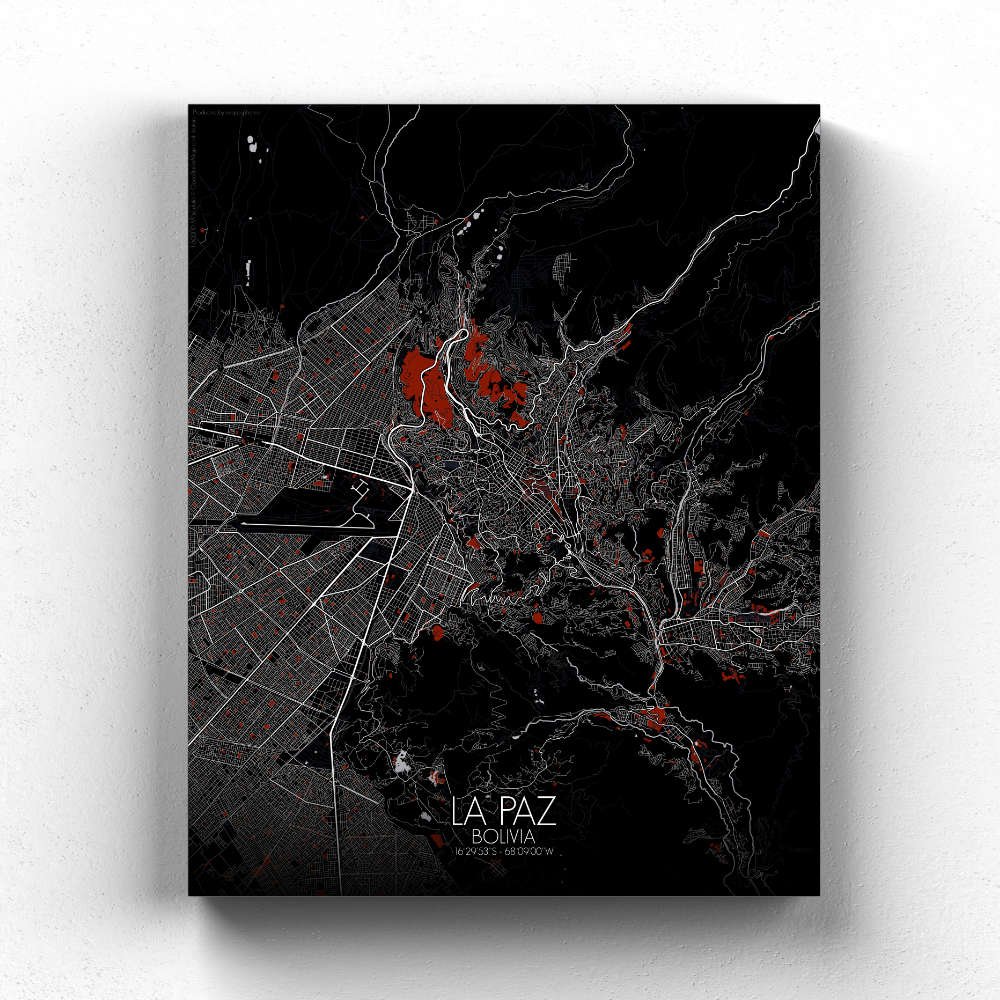
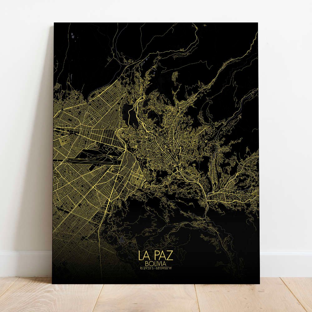
Poster City map of La Paz, Bolivia: From the historic charm of its colonial plazas to the cutting-edge cable cars that crisscross the city, connecting neighborhoods perched on different altitudes, this map tells the story of La Paz as a city rooted in the land and the stories of its people.
Perched high in the Andes at an altitude of over 3,600 meters, this map captures the dramatic geography that defines La Paz, where the city is built into a deep valley surrounded by towering mountains. The map’s contours highlight the steep streets that wind their way through the city, with neighborhoods climbing up the hillsides like terraces carved into the mountainside, giving La Paz its unique and somewhat dizzying character. At the center of the map, the Plaza Murillo stands out as the historic heart of the city, surrounded by government buildings and colonial-era structures. Nearby, you can trace the winding roads that lead to the Mercado de las Brujas, or Witch Market, where ancient traditions and modern commerce meet in a colorful, eclectic display. From the top of the map, the towering presence of the Illimani Mountain looms over the city, its snow-capped peak offering a constant reminder of La Paz’s close connection to the natural world.