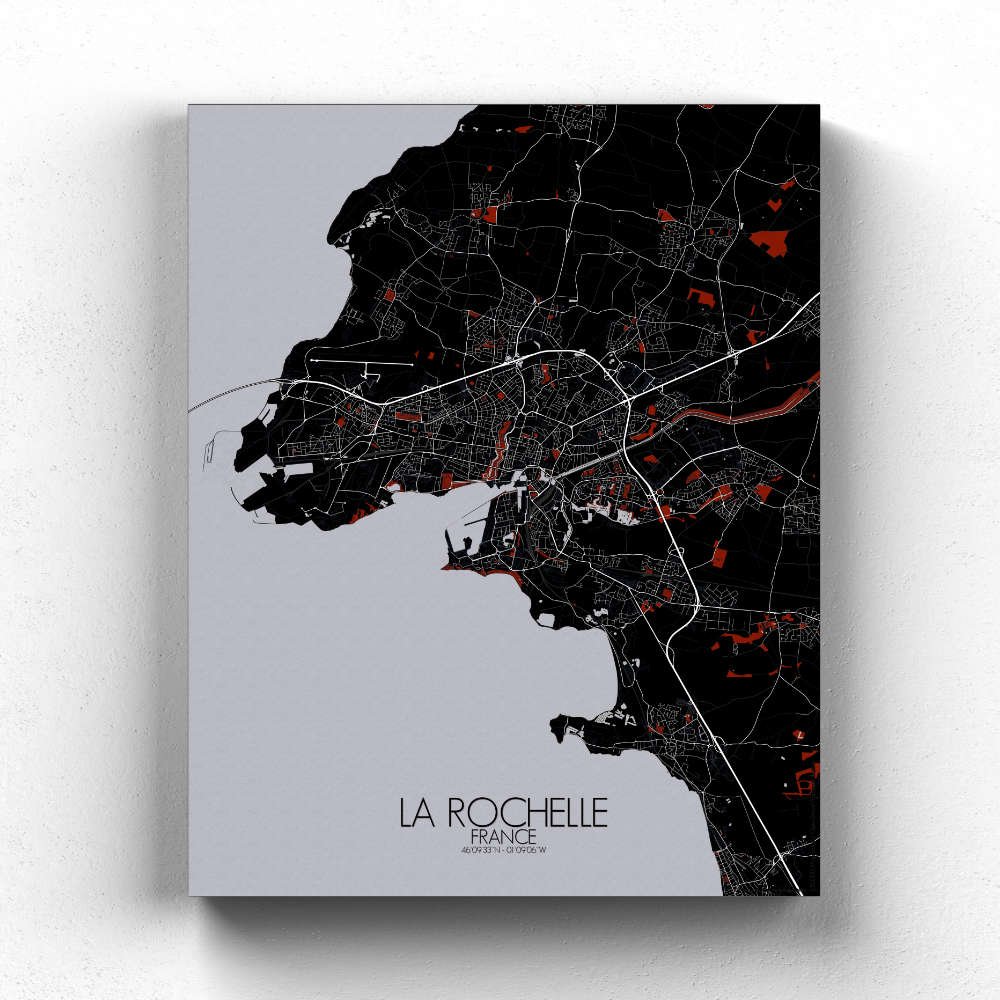
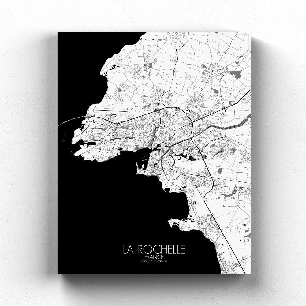


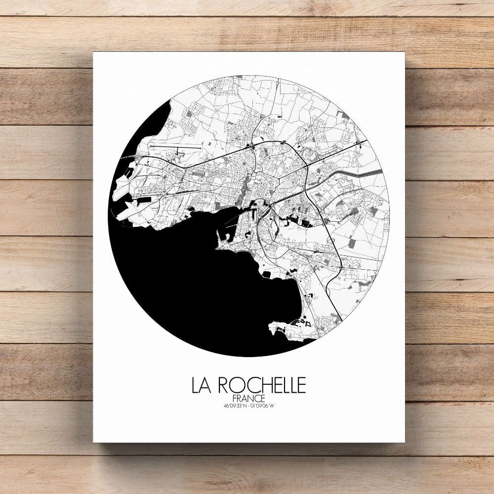
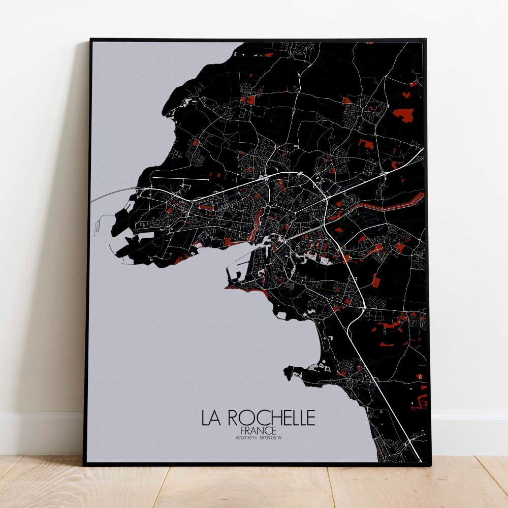
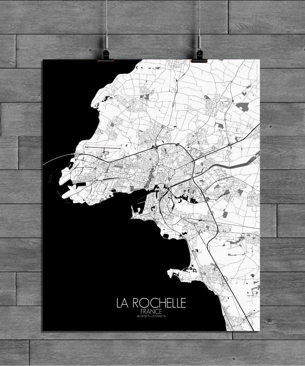
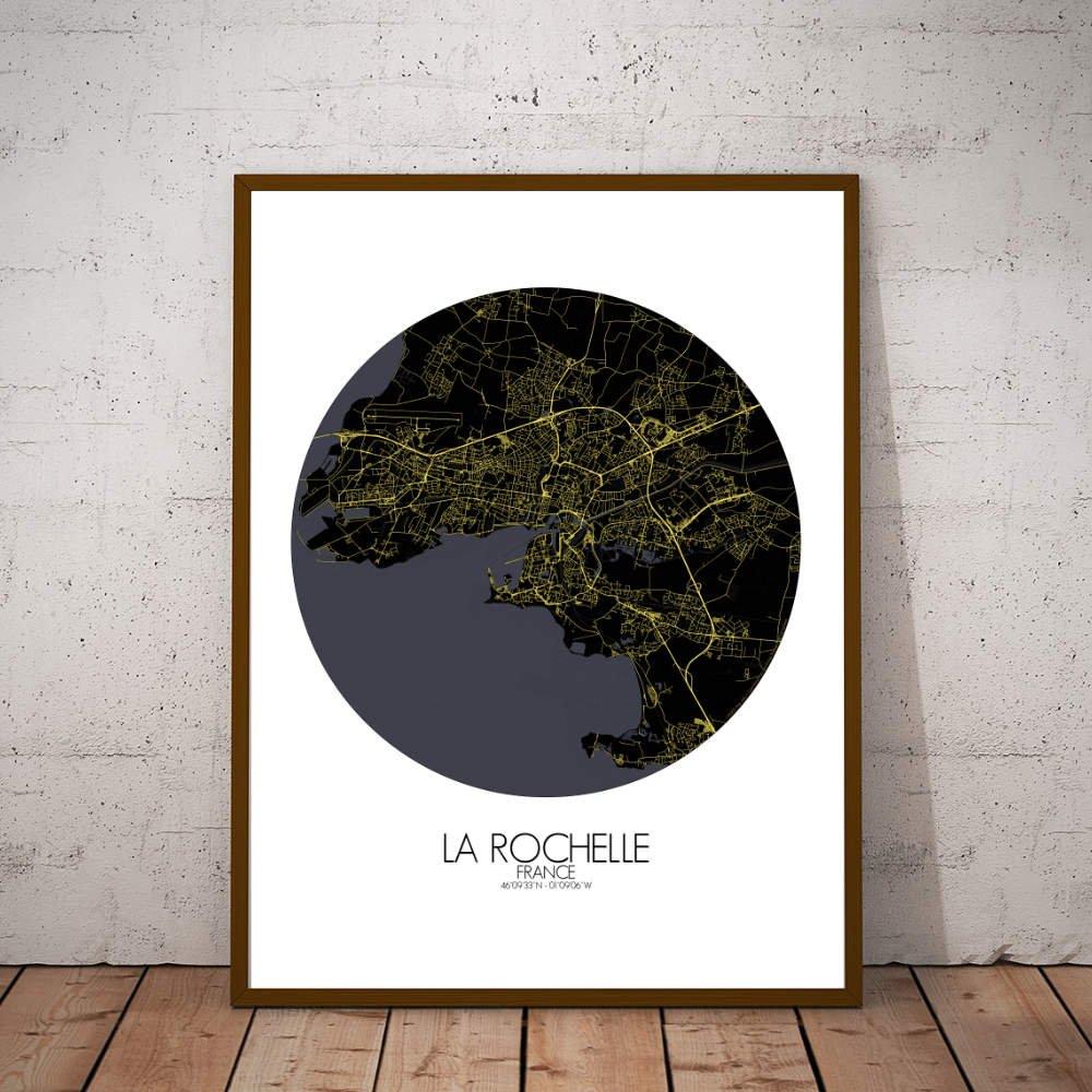

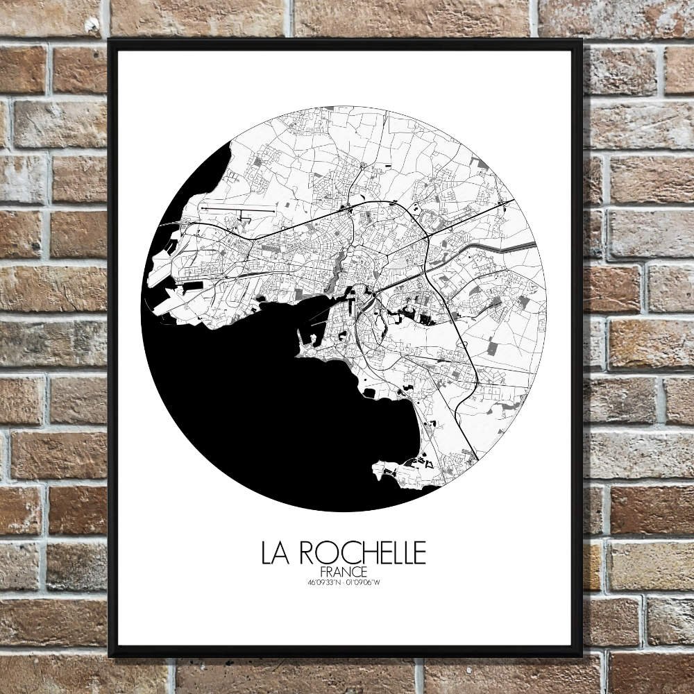
Poster City map of La Rochelle, France: It’s a map that invites both the sailor and the dreamer to navigate through its rich past and peaceful present.
The City map of La Rochelle presents a striking view of this historic port town on the Atlantic coast. As you trace its streets, you’ll notice the city’s distinct layout—encircled by water on three sides, with the Vieux-Port at the heart of it all. The map reveals the graceful curves of the old harbor, where ships once sailed off to distant lands, and the sturdy towers, such as the Tour Saint-Nicolas, that still stand as proud sentinels of the city’s maritime past. La Rochelle’s terrain is shaped by the sea, with the coastline dotted by beaches and small islands, including the Île de Ré, just a short bridge away. The map shows how the land gently slopes toward the water, creating natural greenspaces where locals gather to enjoy the fresh sea breeze. Parks like the Parc Charruyer offer a peaceful escape, with winding paths and lush greenery, making it easy to forget that you’re in a bustling city. Among the map’s most eye-catching landmarks is the elegant Place de la Coursive, a square that connects the old town to the modern, as well as the impressive La Rochelle Cathedral, which stands as a testament to the city’s long history. As you explore the map, you can almost hear the echoes of the city’s past—its days as a powerful port, its role in the wars of religion, and its centuries-old connection to the sea.