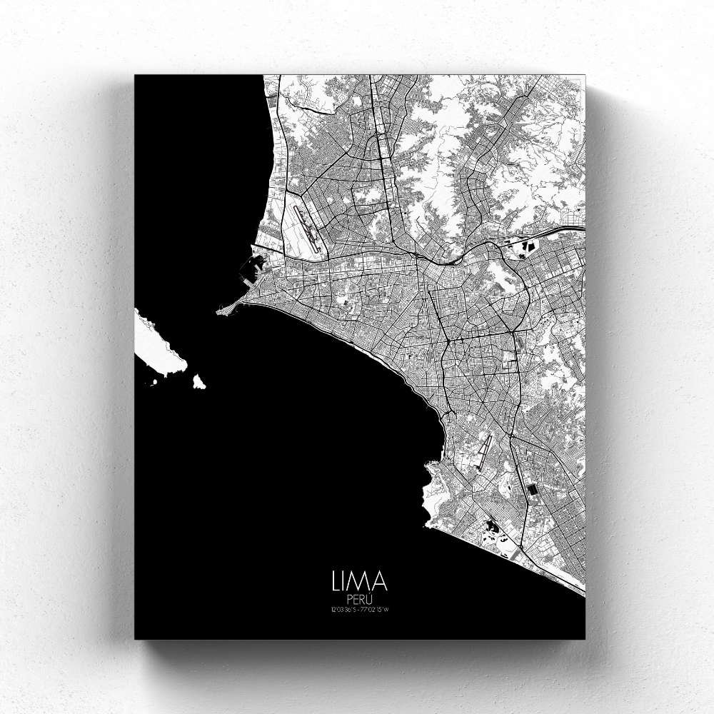
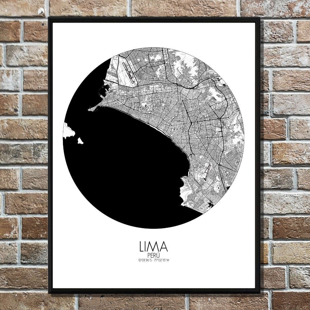
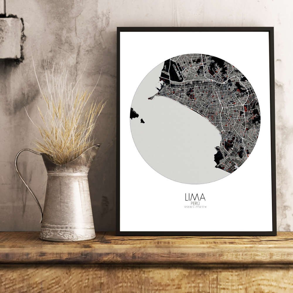
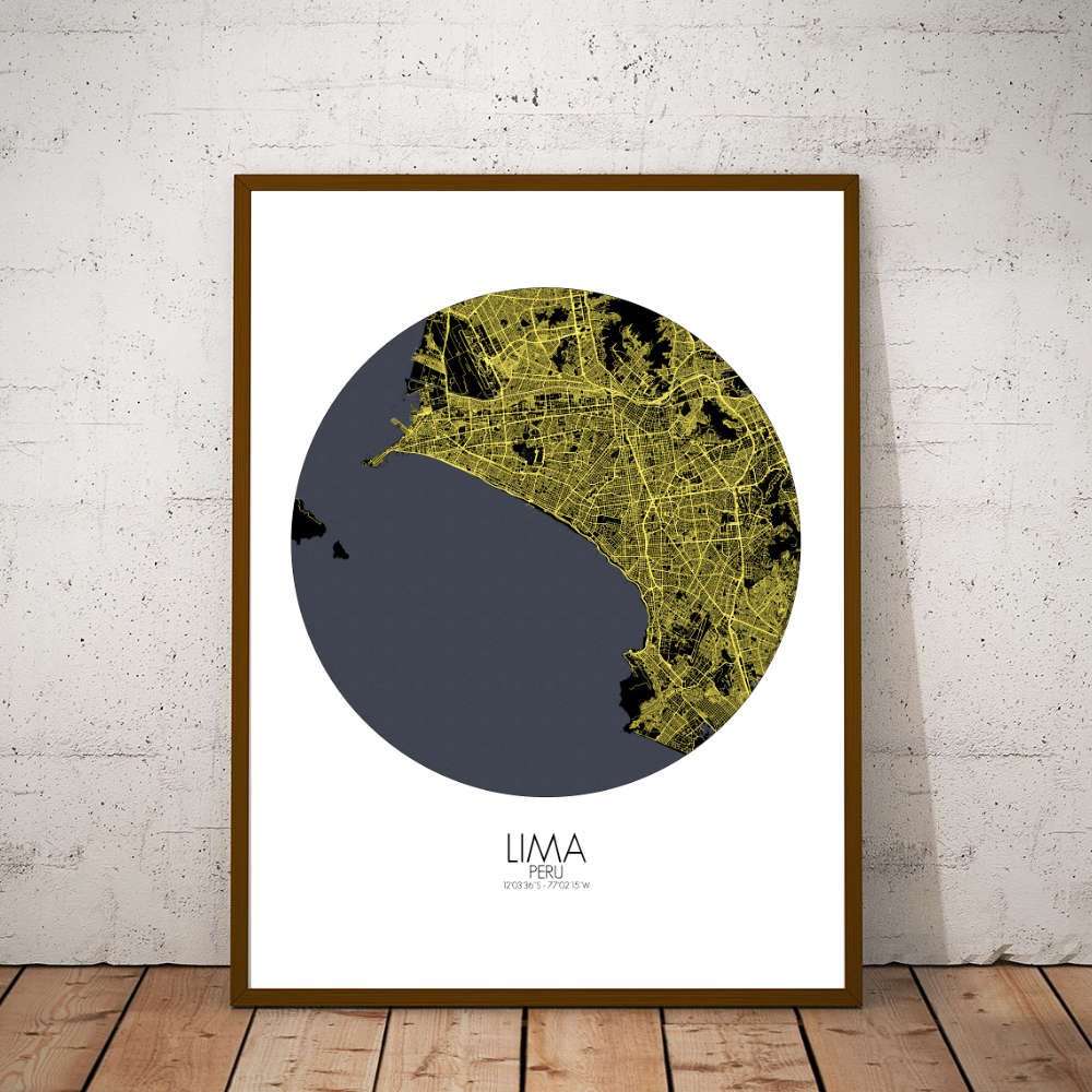
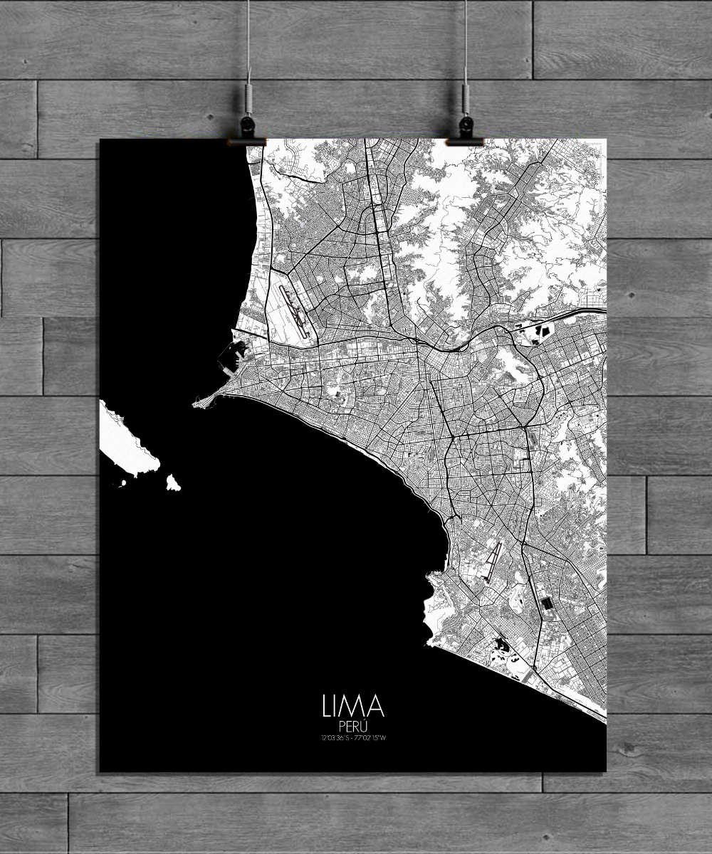
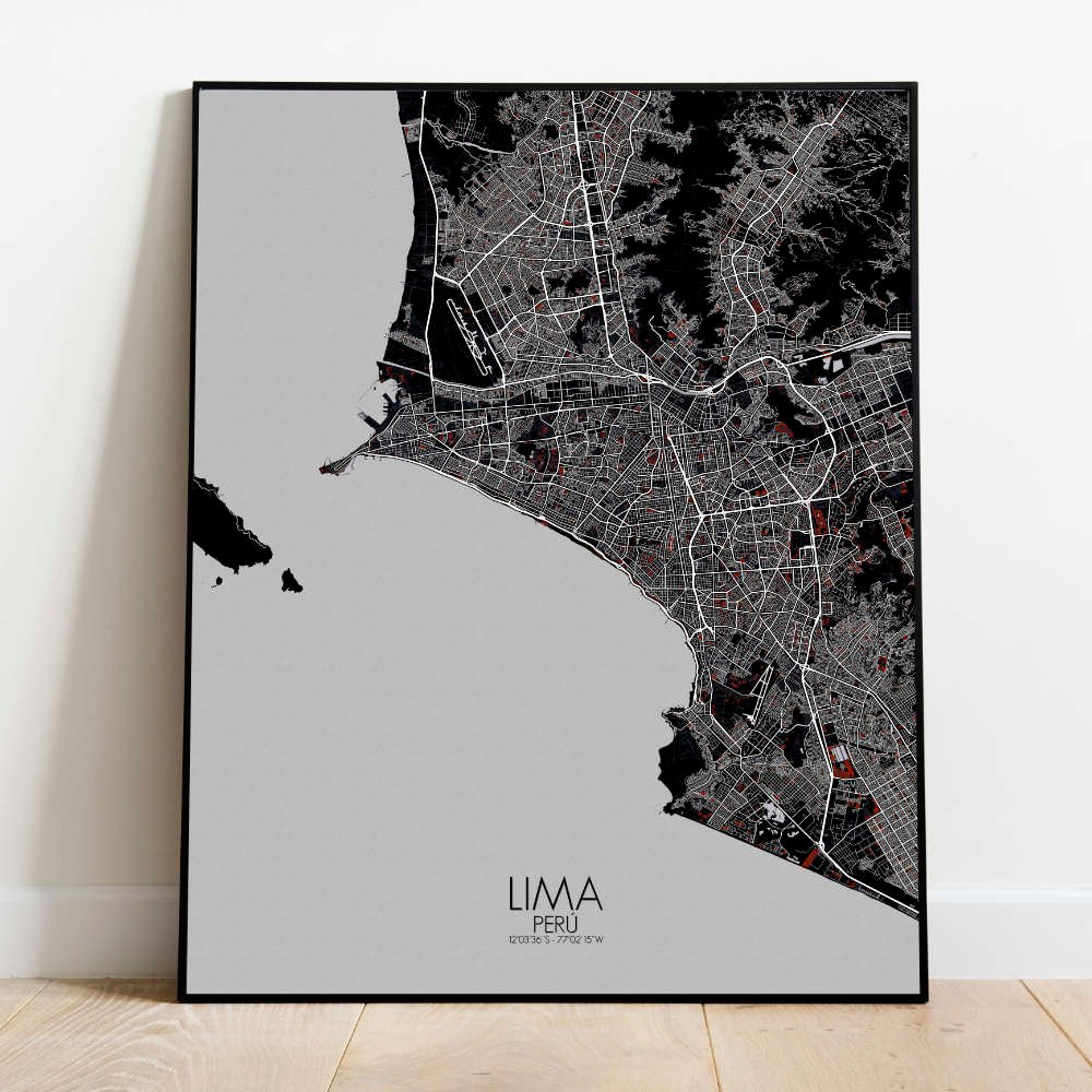
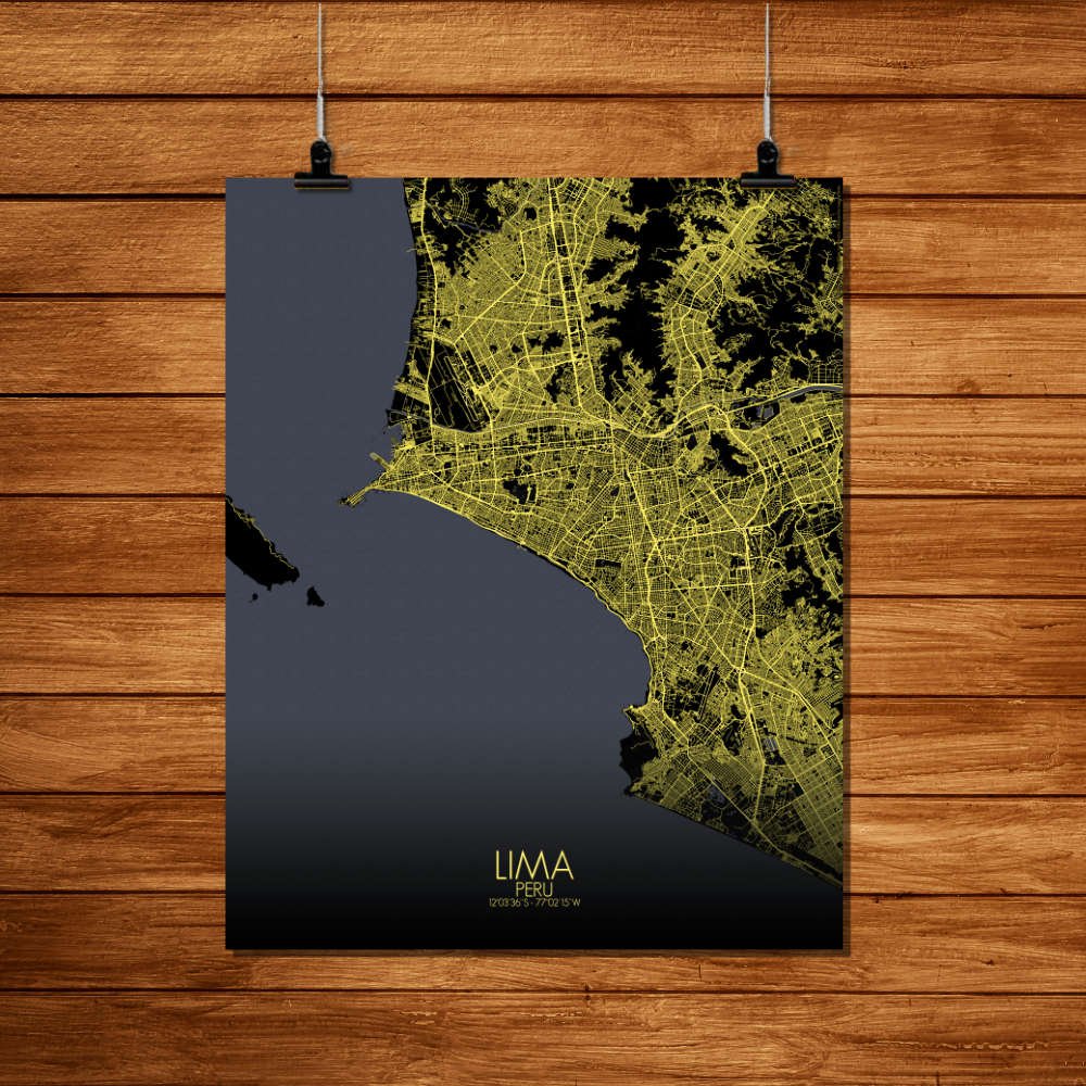
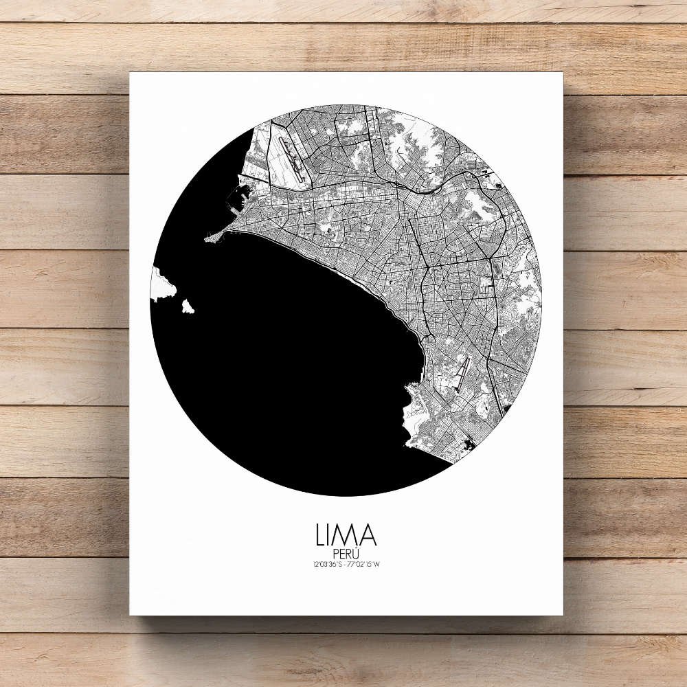
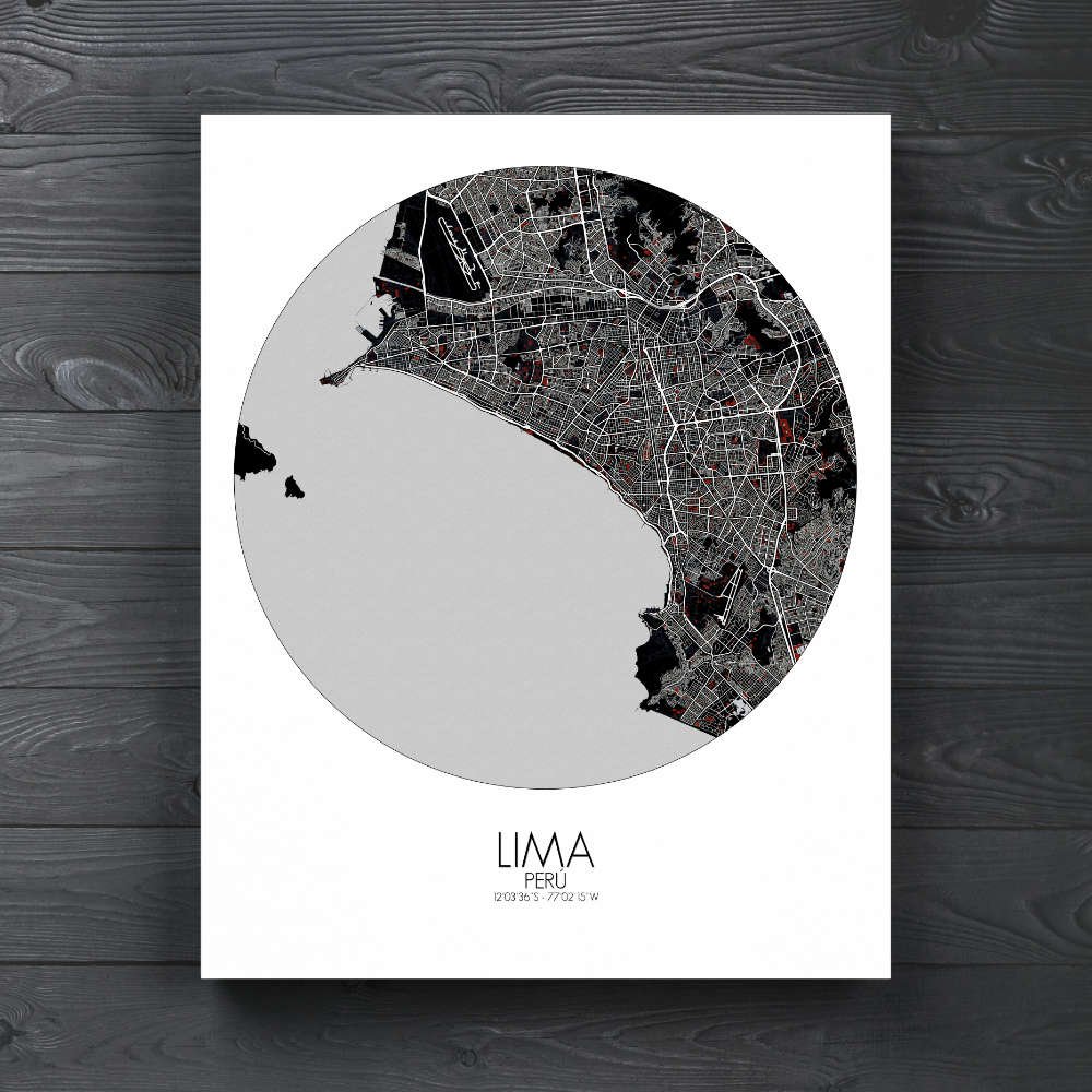

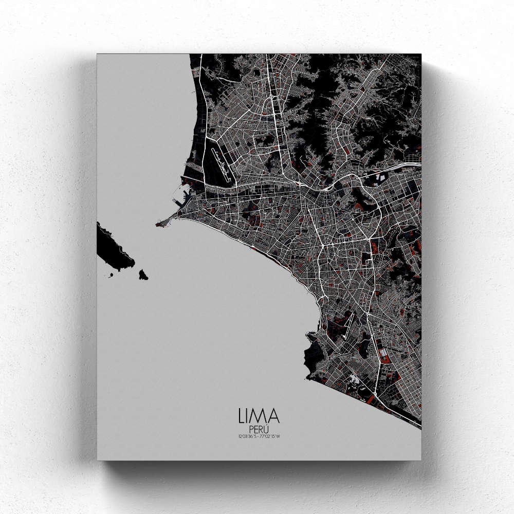
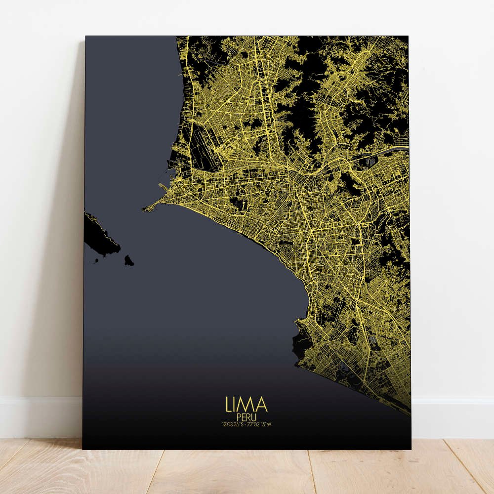
Poster City map of Lima, Peru: This map skillfully showcases Lima’s unique geography, with the coastal flatlands marked by busy streets, while the city’s northern and eastern parts gradually rise into the foothills.
Nestled along the Pacific coast, Lima stretches between the ocean’s edge and the arid foothills of the Andes, where the land gradually rises to meet the towering peaks of the mountain range. At the heart of the map, the Plaza Mayor stands as Lima’s historic core, surrounded by the grand Cathedral, the Archbishop’s Palace, and the Government Palace—each building a piece of the city’s rich colonial past. From here, the map traces the vibrant streets of Lima’s historical center, where the city’s ancient Inca heritage blends seamlessly with Spanish colonial influence. Lima’s coastline is another key feature that the map highlights. The Pacific Ocean’s blue expanse stretches along the bottom of the city, creating a dramatic contrast with the urban sprawl. You can trace the city’s coastline, where the cliffs of Miraflores and Barranco offer breathtaking views of the ocean, with the beach parks below filled with both locals and tourists. The malecones—wide, tree-lined promenades—are a signature feature of the map, offering an escape from the busy city life, with scenic views of the Pacific and fresh ocean breezes.