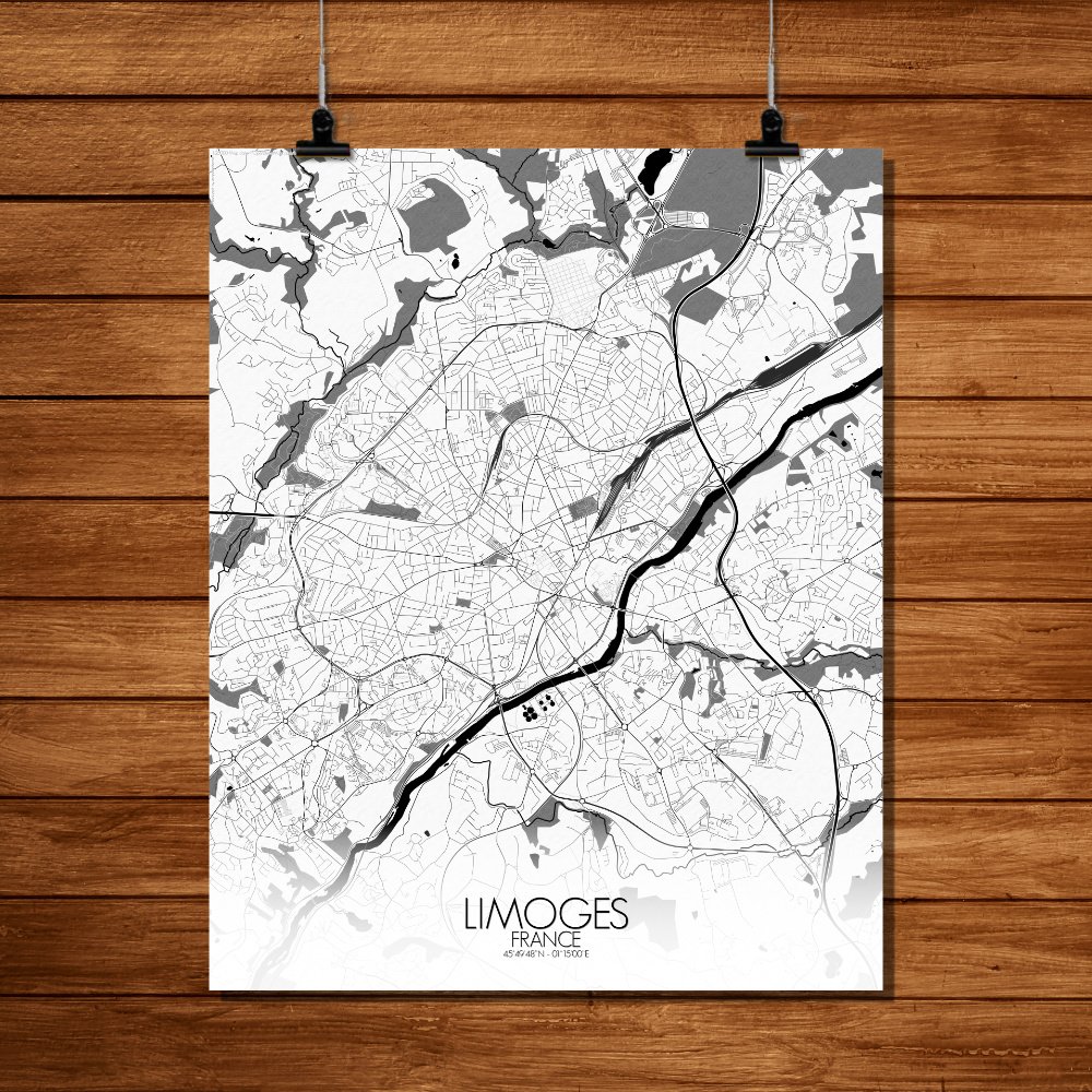
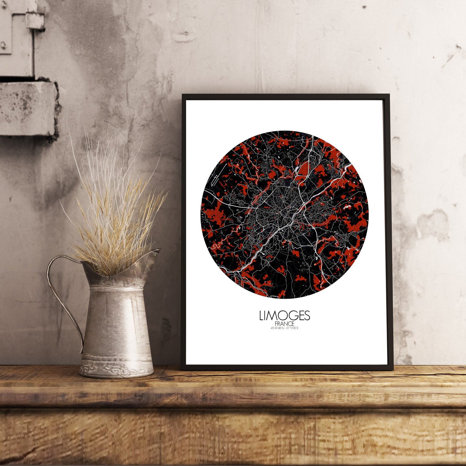
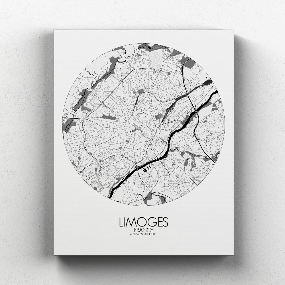

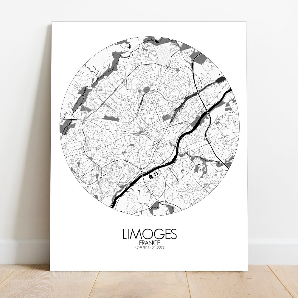
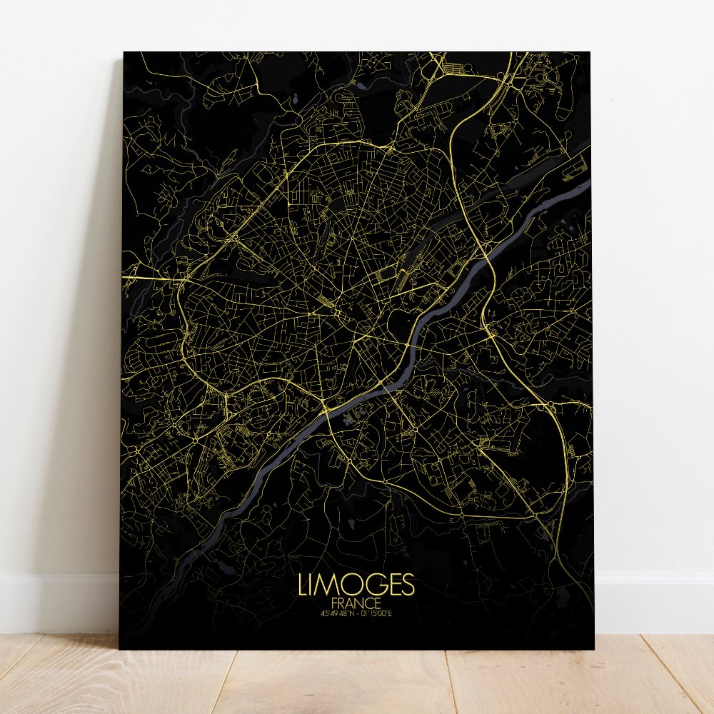
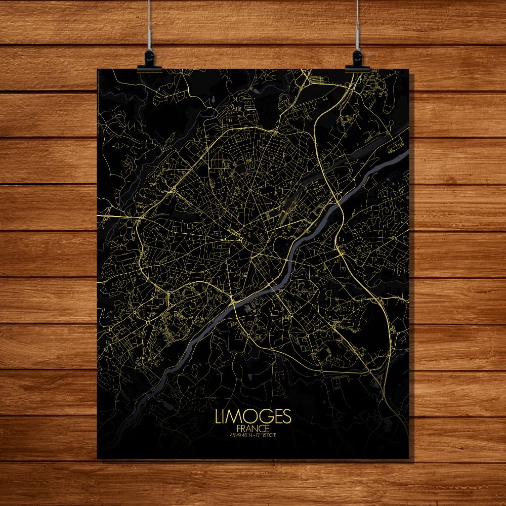
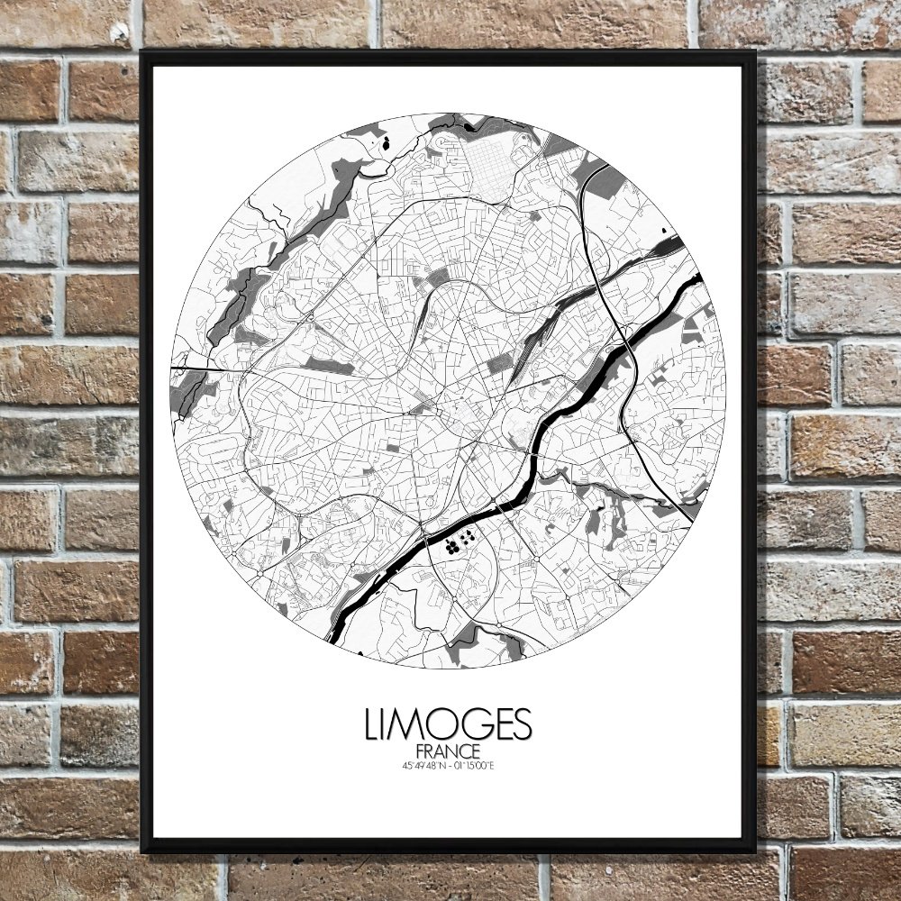
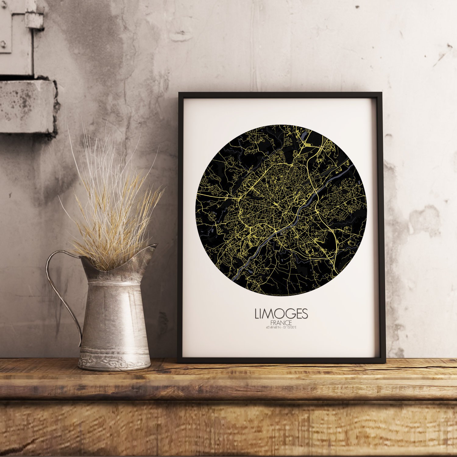
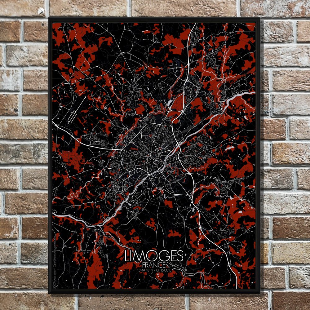
Poster City map of Limoges, France: a window into a city shaped by earth, time, and a fair amount of rain.
Tucked gently into the rolling hills of central France, Limoges unfolds like a storybook across this finely detailed map. The city, famed for its porcelain that once graced royal tables, sits comfortably between forested slopes and the gentle bends of the Vienne River. This map captures not just the streets and squares, but the very soul of a city where nature and history have been long-time companions. From the green lungs of Parc Victor-Thuillat to the quiet stretches of the Aurence valley, Limoges is shown here in all its topographic honesty. Hills rise and dip with the rhythm of the land, offering subtle shadows that give the map depth—and perhaps a hint at why walking here feels like a mild workout. Sprinkled with gardens and hidden courtyards, the city appears as if it’s been thoughtfully draped in green, not just built. In the heart of it all, the grand Limoges Cathedral stands tall—more stubborn than grand, some might say, as it took over six centuries to finish. The old quarter around it winds like a forgotten fable, full of timbered houses and narrow lanes that lead nowhere quickly, but always somewhere beautiful.