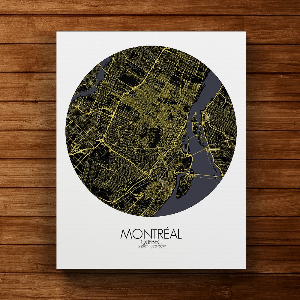

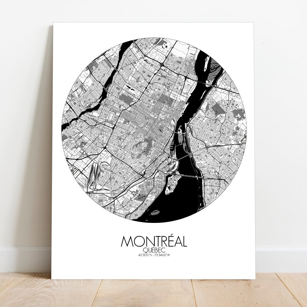
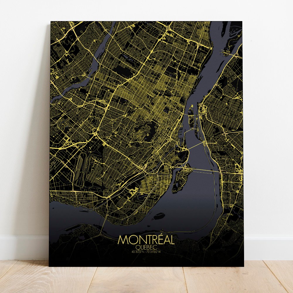
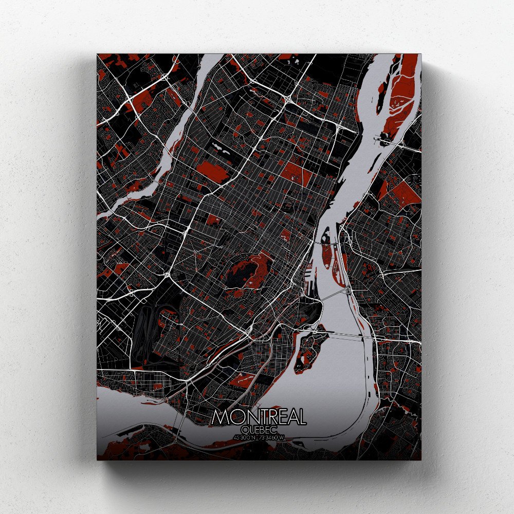
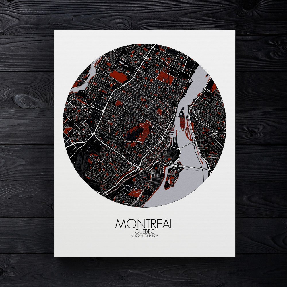
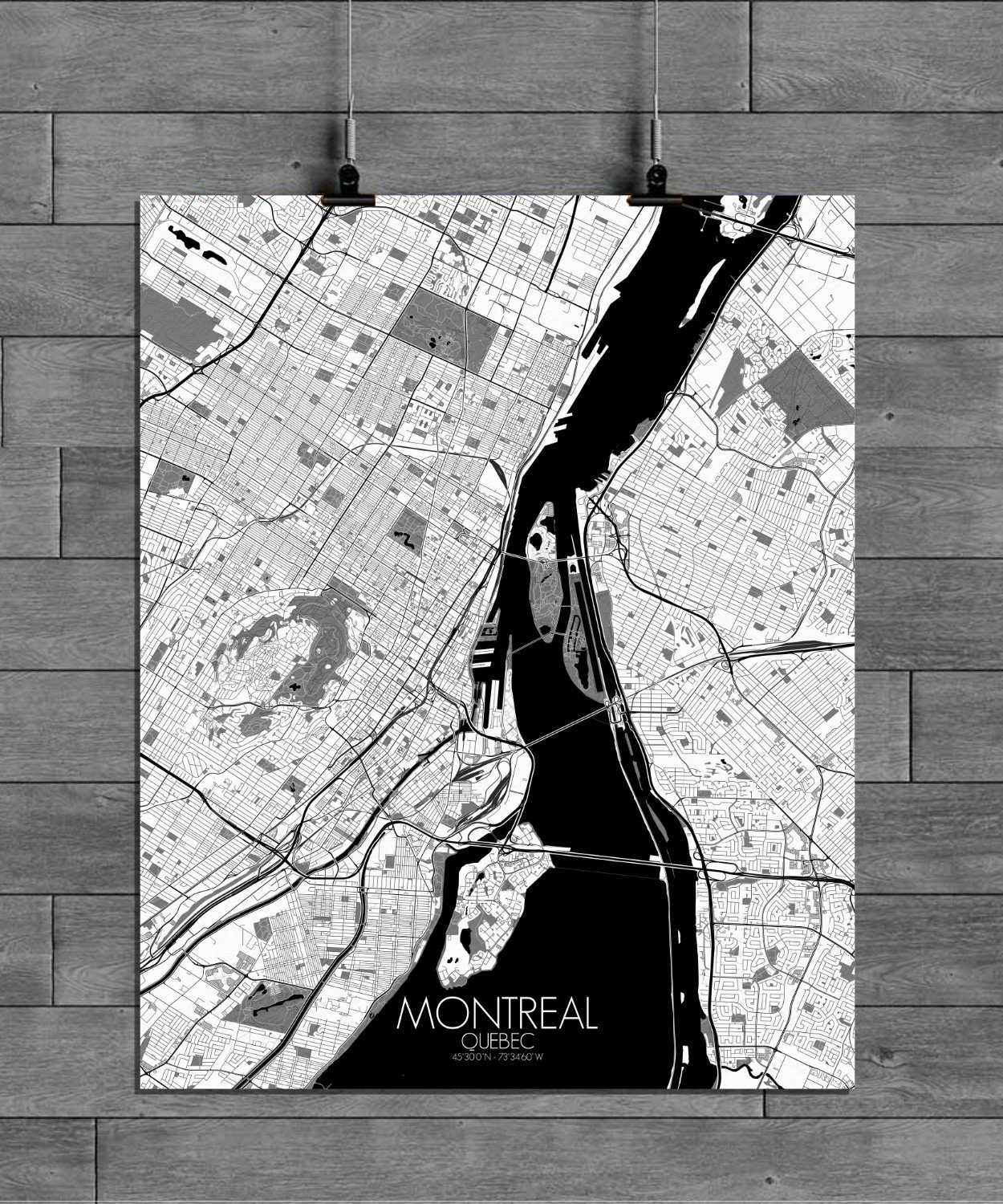
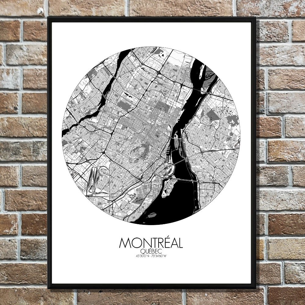
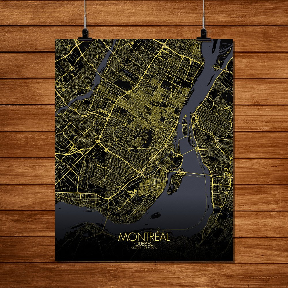
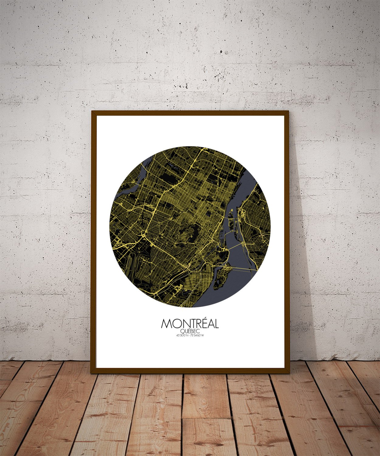
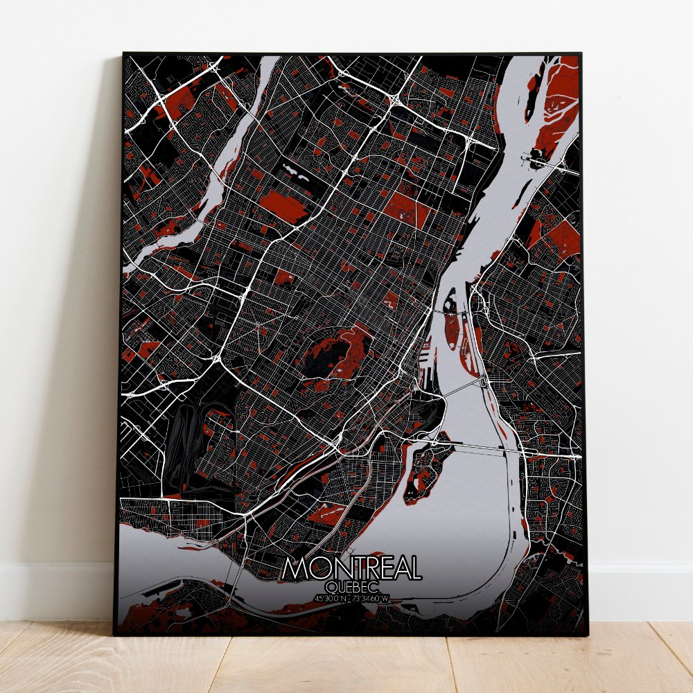
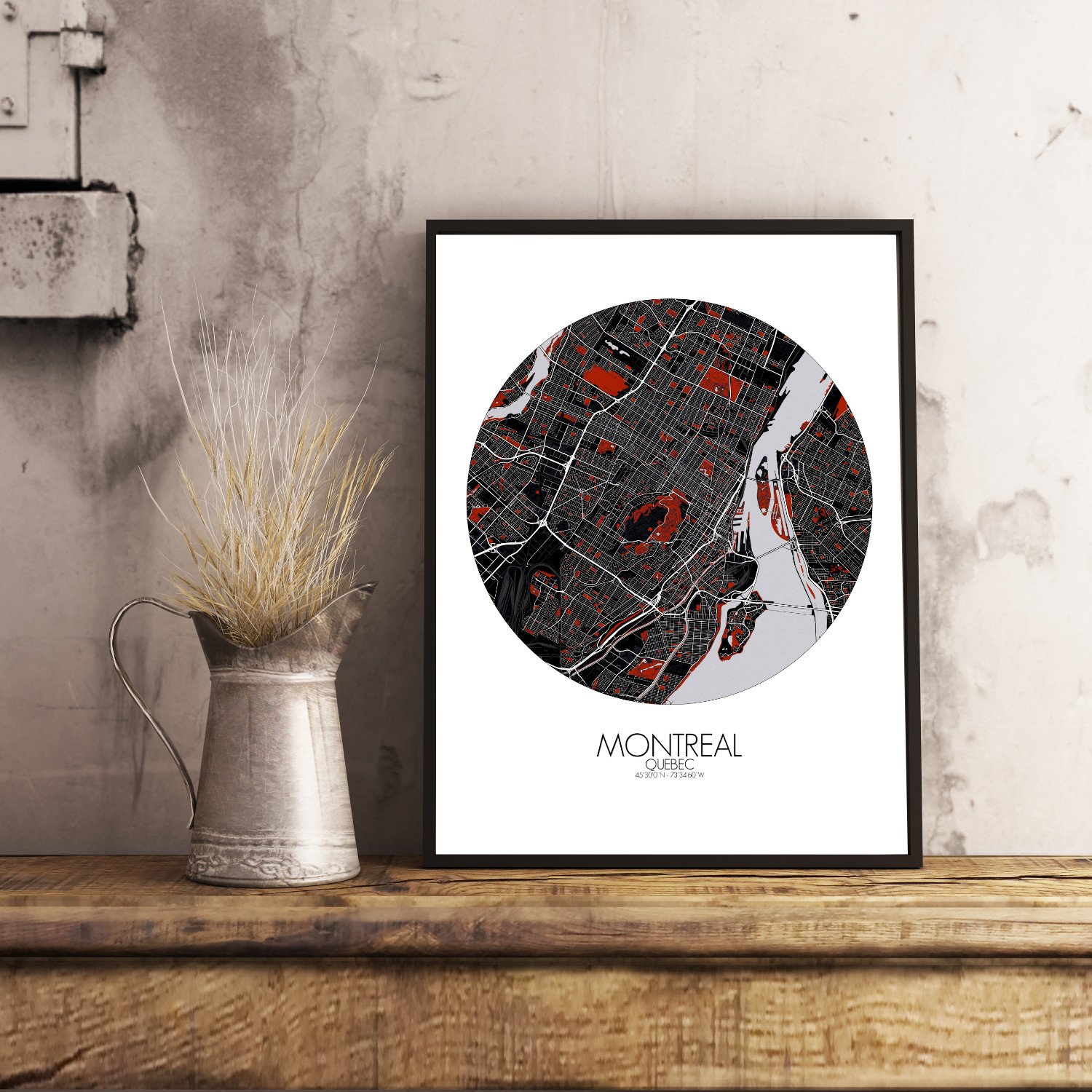
Poster City map of Montreal, Canada: this City is an island that doesn’t act like one — it bustles, builds, and brews like it’s the mainland’s livelier cousin — half European, half North American, and entirely itself.
This City Map captures the city’s curious blend of geography and spirit, showing how the land itself shaped a place where poutine is a pastime and French is spoken with a shrug and a smile. At the heart of the island rises Mount Royal, the mountain that gave the city its name. It’s not much for altitude, but it’s got charm—and a tendency to photobomb nearly every skyline shot. The map shows it clearly, surrounded by winding roads and thick parkland, like someone spilled a forest in the middle of town and never cleaned it up. This is where Montrealers jog, ski, and occasionally kiss under trees, depending on the season or their luck. The island, cradled by the Saint Lawrence River, stretches long and wide, shaped more by currents than by reason. The river bends and narrows at points, like it’s pausing to take in the view of Old Montreal’s stone façades and timeworn streets. That part of the city is a tapestry of history, where church towers rise between modern blocks and you can still hear echoes of fur traders—if you listen closely, or perhaps just read the plaques. The map also charts Montreal’s green veins—parks, gardens, and riverside paths that carve through the urban sprawl. Parc La Fontaine fans out like a leafy gesture, while Jean-Drapeau sits on its own little island, once home to Expo 67 and now to weekend festivals, Formula 1 noise, and curious ducks. From above, you can trace the old neighborhoods, each with their own pulse, their own pattern of streets, some straight and serious, others twisting like they were drawn by a distracted poet. Bridges—wide, arched, and always busy—tie the island to the mainland, as if the city had to be reminded it wasn’t floating entirely free.