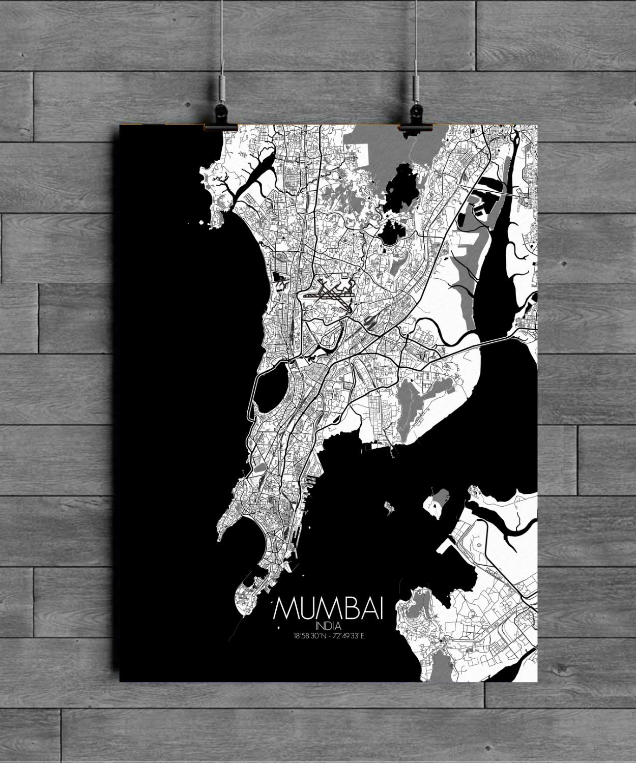
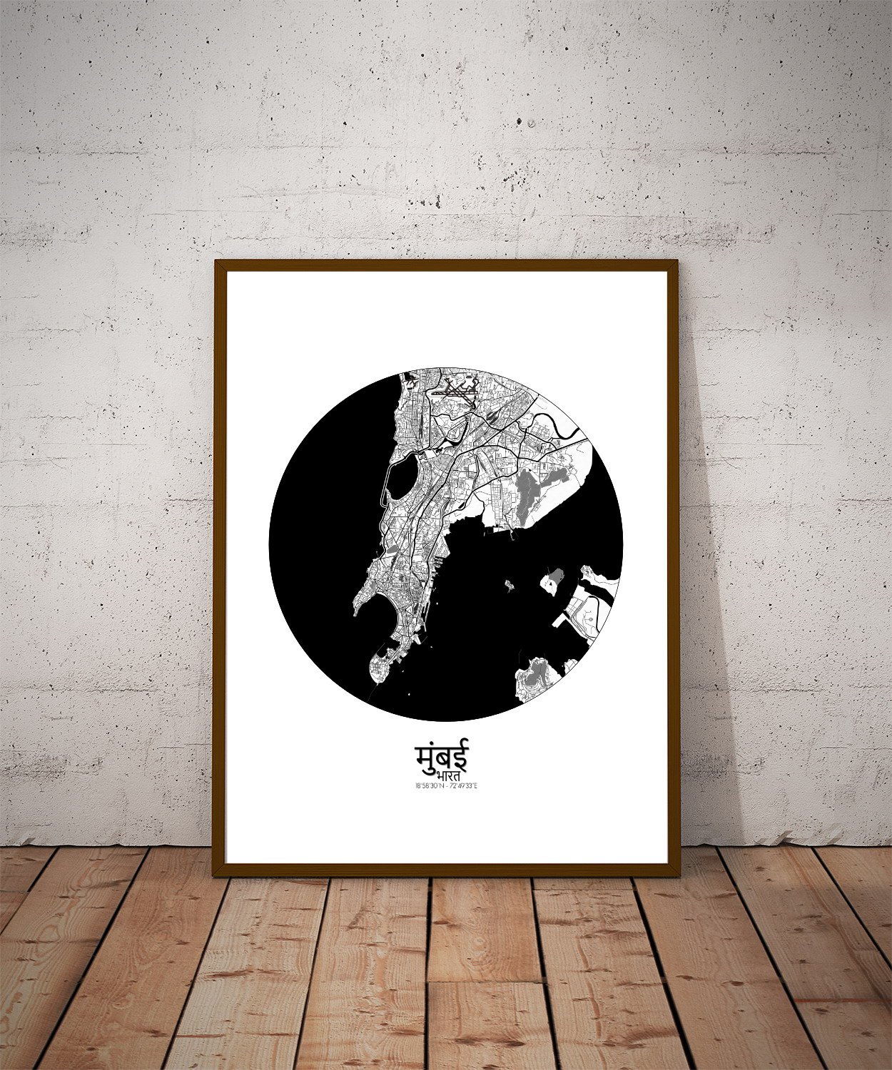

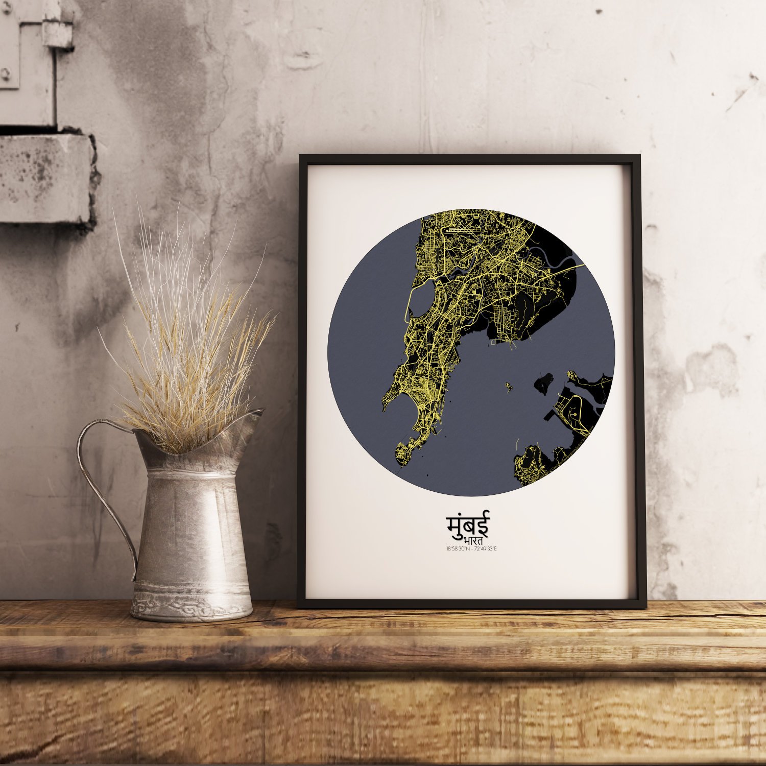
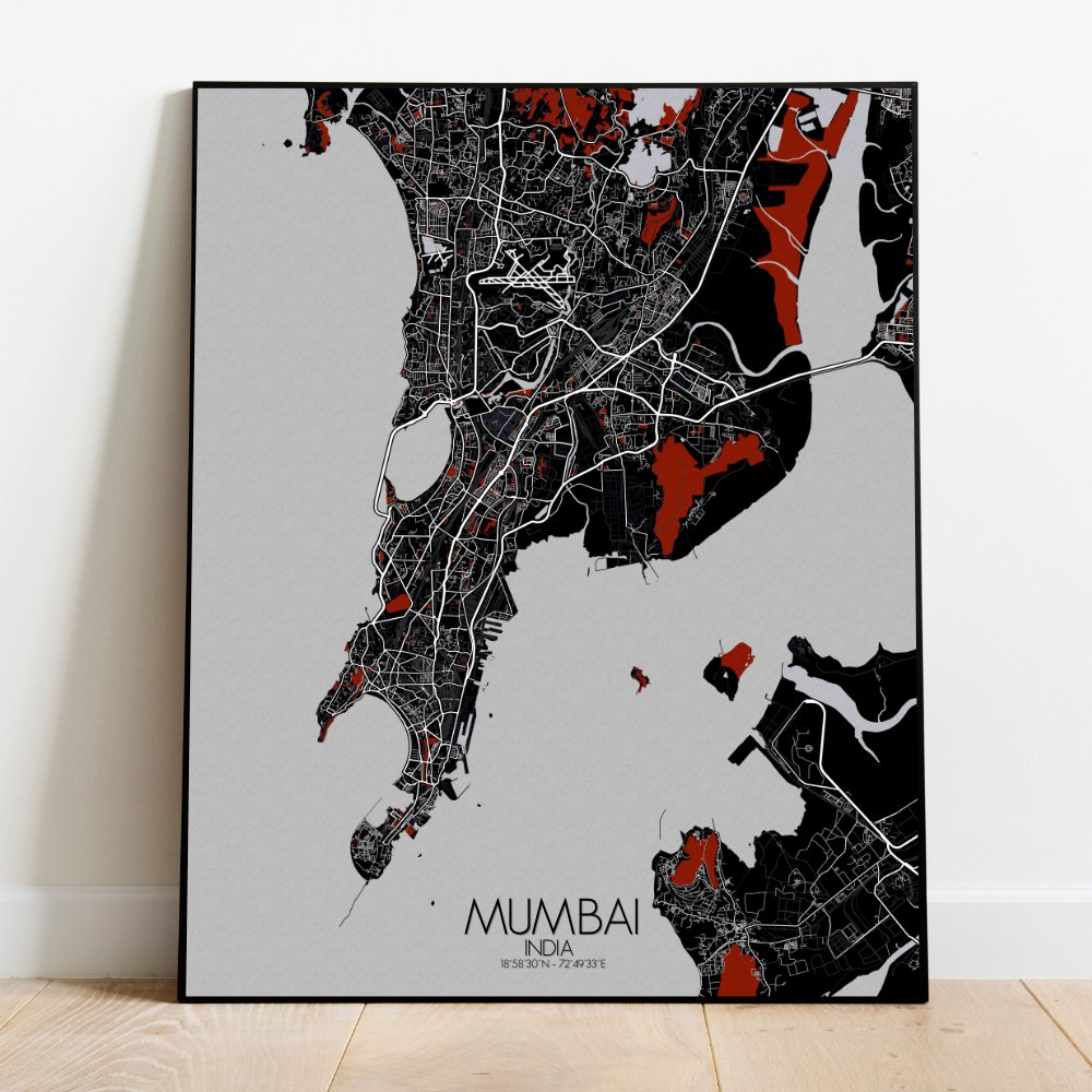

Poster City map of Mumbai, India: a city of monsoons and movies, of dreams, dabbawalas, and delightful restlessness.
Behold Mumbai laid bare in all its topographic truth. This city map doesn’t just show roads and buildings, it captures the shape of the land itself: the gentle swell of the Seven Islands reborn as one, the natural contours rising just enough to let the mighty Sanjay Gandhi National Park breathe at the city’s heart like a green lung. To the north, the Borivali hills roll quietly, as if politely distancing themselves from the honking symphony of the south. The park stretches across like a soft, mossy carpet, hiding ancient Buddhist caves that have listened to centuries pass in silence. Down south, the terrain flattens out as if to make way for the grand entrances of Gateway of India, Chhatrapati Shivaji Terminus, and the Victorian Gothic drama of Fort—where history insists on lingering in the colonnades. The coastline coils and curls with tidal grace, wrapping around Marine Drive’s sweeping arc, which at night, as they say, turns into a Queen’s Necklace—though she’s likely misplaced a few diamonds over the years. From the salt pans of Chembur to the mangroves of Versova, every natural feature makes its quiet mark, reminding us that before Bollywood scripts or startup dreams, this land had a story written in stone and soil.