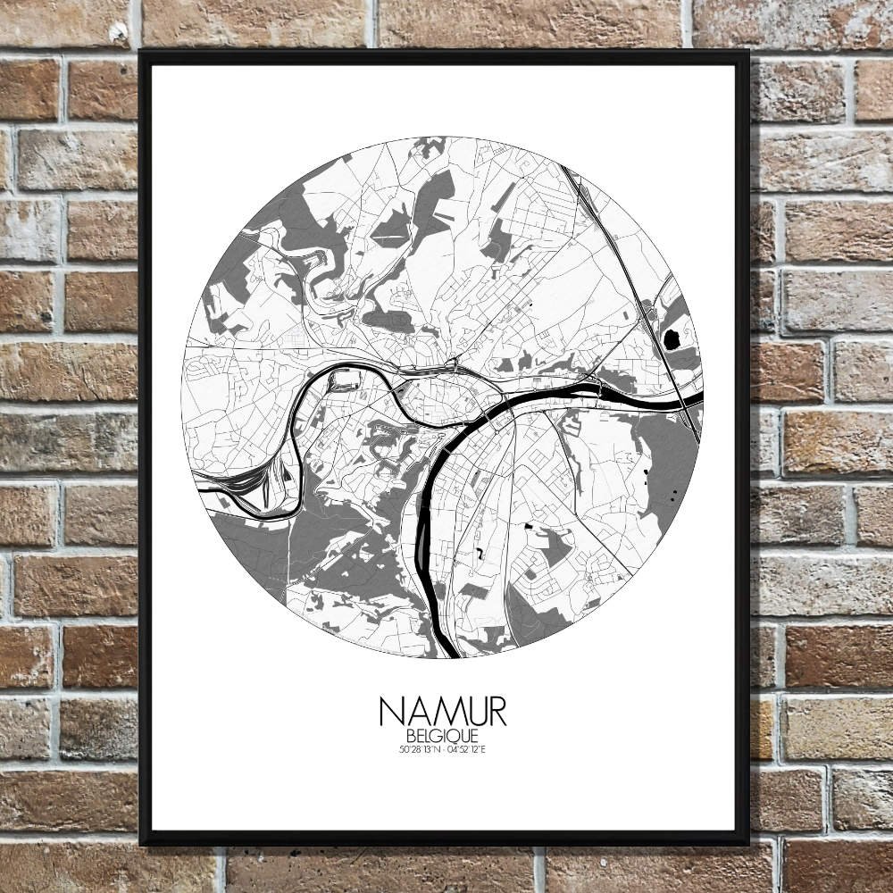

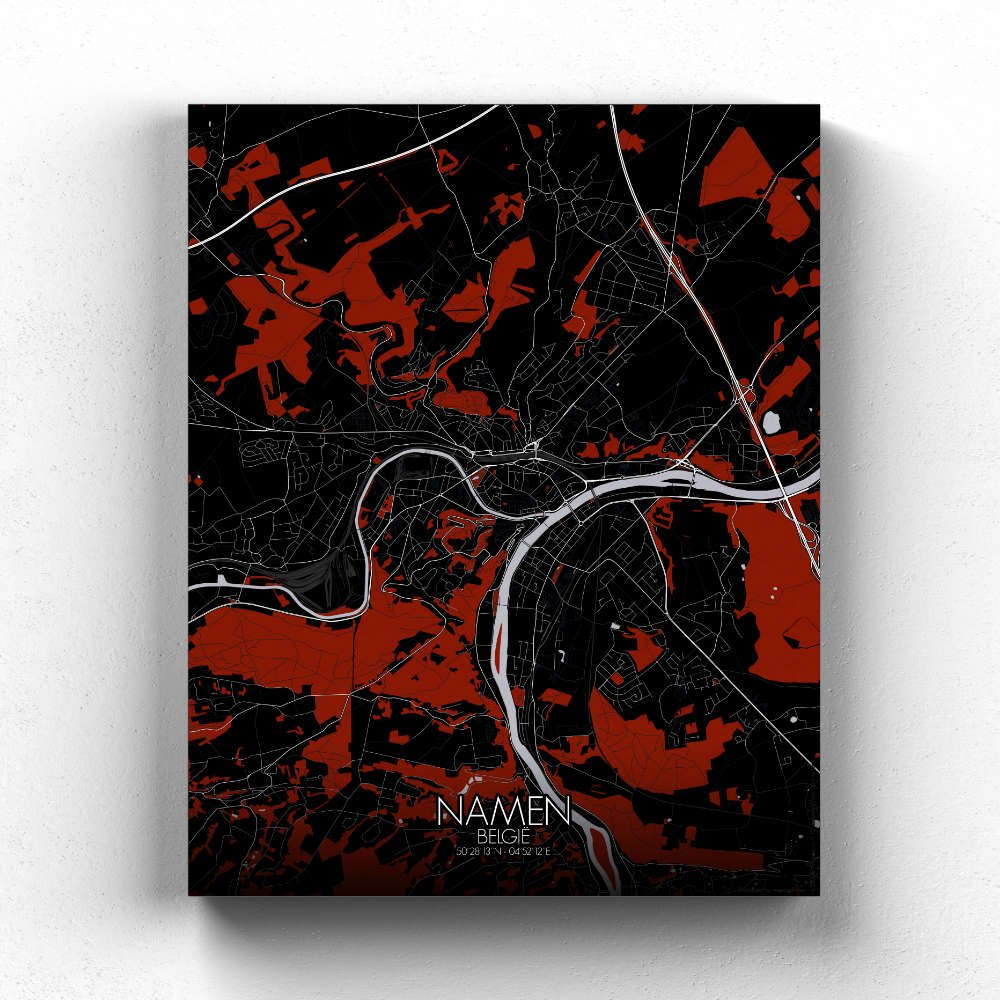
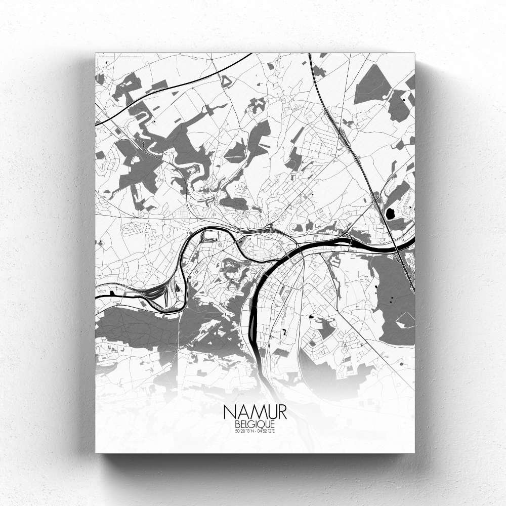
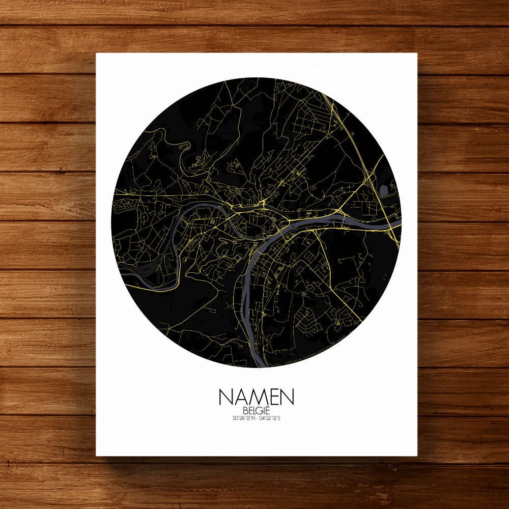
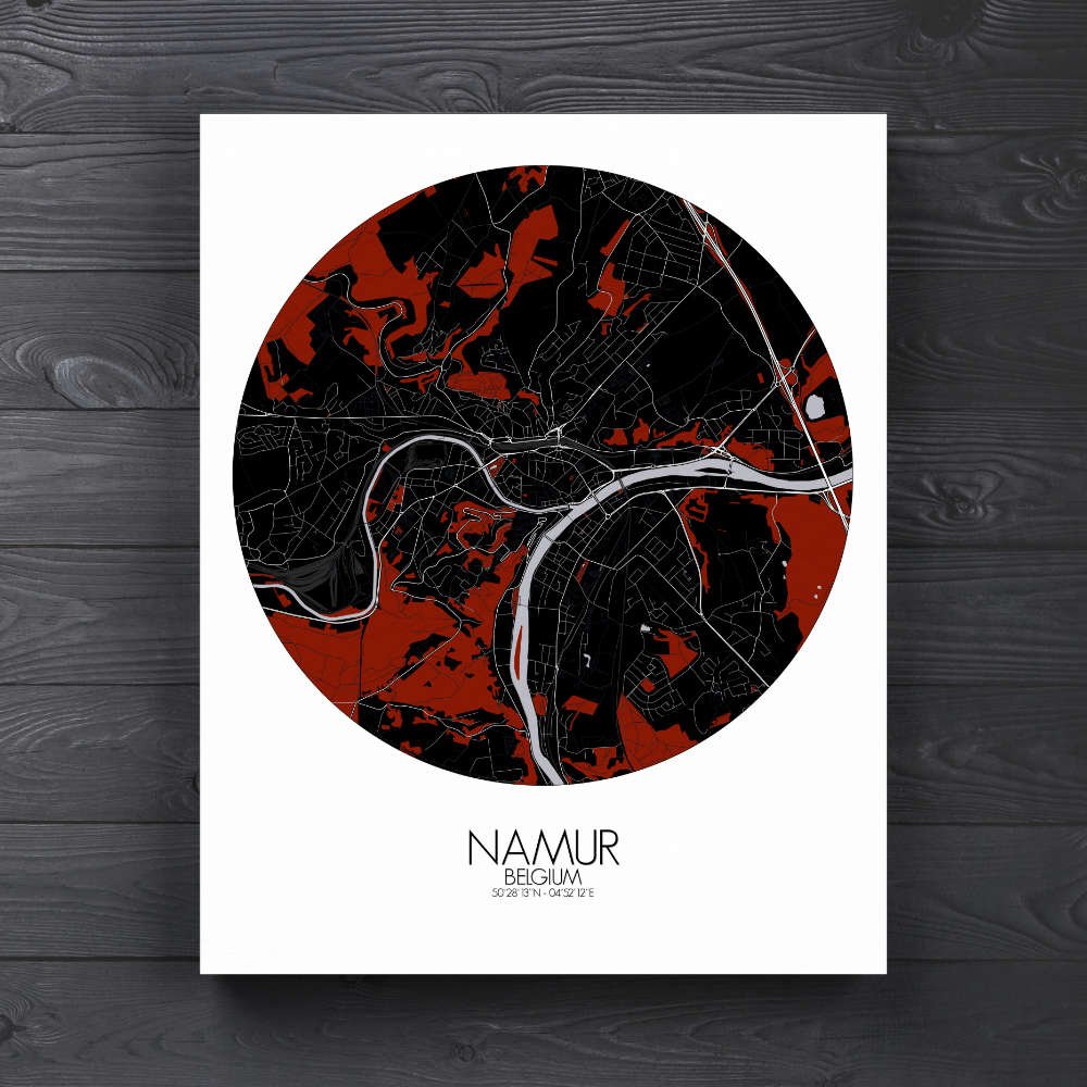


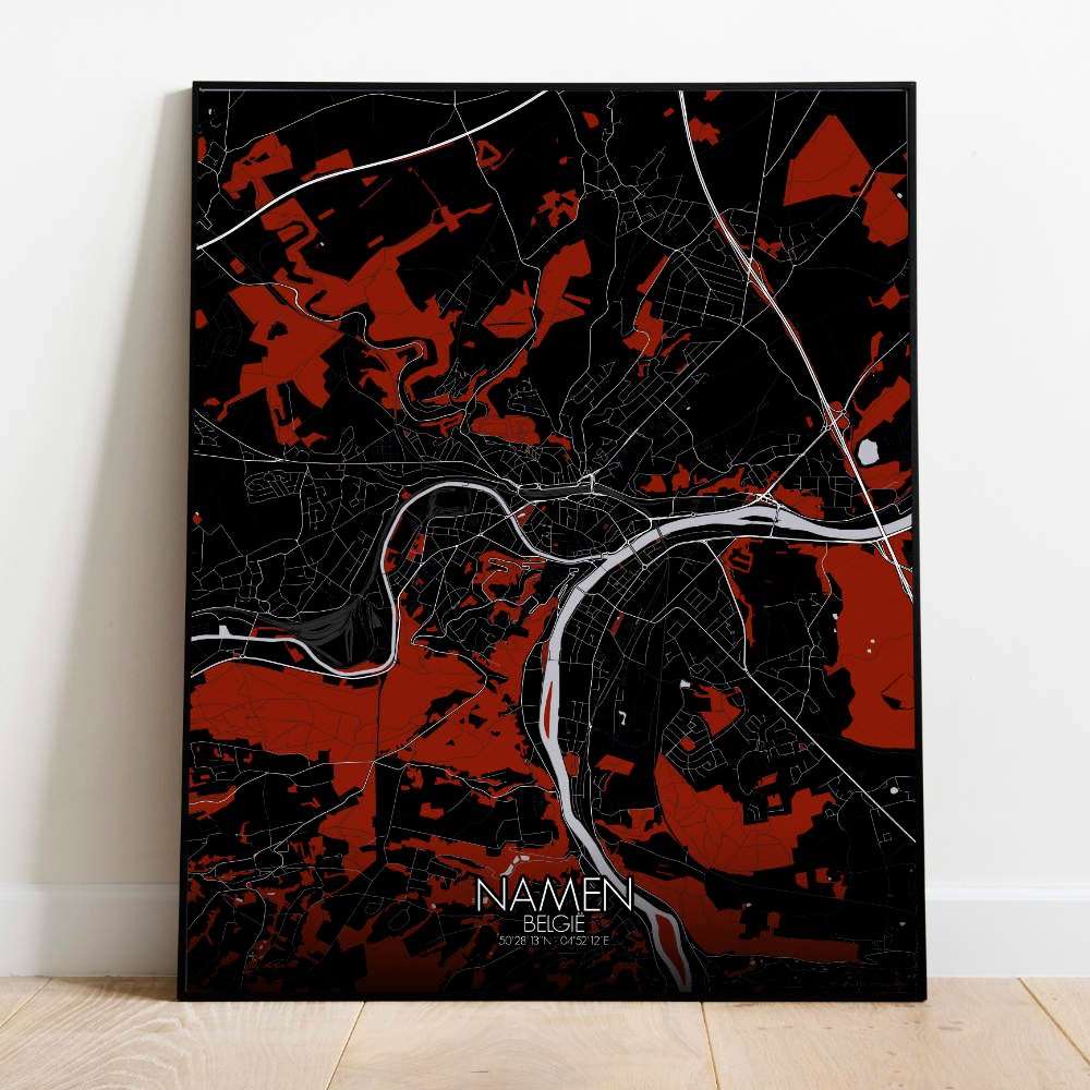

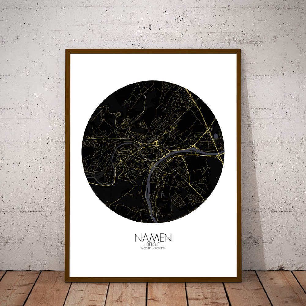
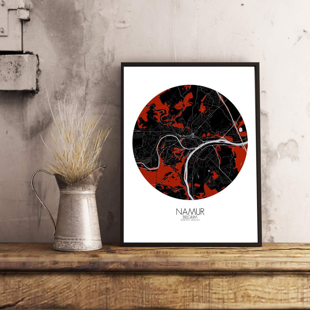
Poster City map of Namur, Belgium: The city’s ancient walls and towers, some still standing, hint at tales of battles and conquests that shaped Namur’s strategic importance through the ages.
This city map of Namur offers a striking representation of the Belgian capital of Wallonia. Nestled at the confluence of the Sambre and Meuse rivers, the map showcases the city’s dynamic landscape, with its gentle hills and valleys rising from the riverbanks. As your eyes trace the contours, you’ll notice how the land naturally slopes up towards the Citadel of Namur, a towering landmark that has stood guard over the city for centuries. The map beautifully captures the city’s famous hills, with the Citadel perched atop one, commanding sweeping views over the rivers below. The elevated terrain surrounding the Citadel is an inviting mix of parkland and wooded areas, providing a green escape from the urban hustle. The quiet, verdant spaces near the river’s edge, such as the Parc Louise-Marie, offer a calm contrast to the city’s lively center, inviting both locals and visitors for a leisurely stroll. Namur’s historical charm shines through on the map as well. You’ll spot the signature bridges that span the Meuse River, connecting different parts of the city and offering a charming view of the water.